
Best Time to Hike Mount Whitney Trail
The best time to hike Mount Whitney Trail is July to September, when the official season guidance points to a snow-free trail. Those months also bring the warmest relative conditions of the year, very little rain, and long daylight, which matters on a very strenuous high-altitude route.
Month-by-month climate for Mount Whitney Trail
| Month | Relative warmth | Rain | Daylight |
|---|---|---|---|
| Jan | Coldest | 87 mm | 9.8 h |
| Feb | Coldest | 57 mm | 10.7 h |
| Mar | Coldest | 74 mm | 11.7 h |
| Apr | Cool | 30 mm | 12.9 h |
| May | Mild | 14 mm | 13.9 h |
| Jun | Warm | 4 mm | 14.5 h |
| Jul | Warmest | 7 mm | 14.3 h |
| Aug | Warmest | 9 mm | 13.4 h |
| Sep | Warm | 4 mm | 12.2 h |
| Oct | Mild | 17 mm | 11 h |
| Nov | Cool | 36 mm | 10 h |
| Dec | Coldest | 86 mm | 9.5 h |
Modelled regional averages for 2010–2023 (rainfall) and calculated daylight hours; they describe the wider area, not a reading taken on the trail. “Relative warmth” compares each month with the warmest and coldest months of this place’s own year. It is not a temperature, and the high parts of a route are colder than the region around them.
The modelled regional averages show a clear dry window. June to September typically sees only 4 to 9 mm of rain a month, while December and January climb to 86 and 87 mm. Daylight swings from about 9.5 hours in December to 14.5 hours in June. By this place's own yearly pattern, July and August are the warmest months, and December through March are the coldest. These are regional averages, not trail measurements, so the summit can differ.
Mount Whitney Trail season by season
Winter · December to March
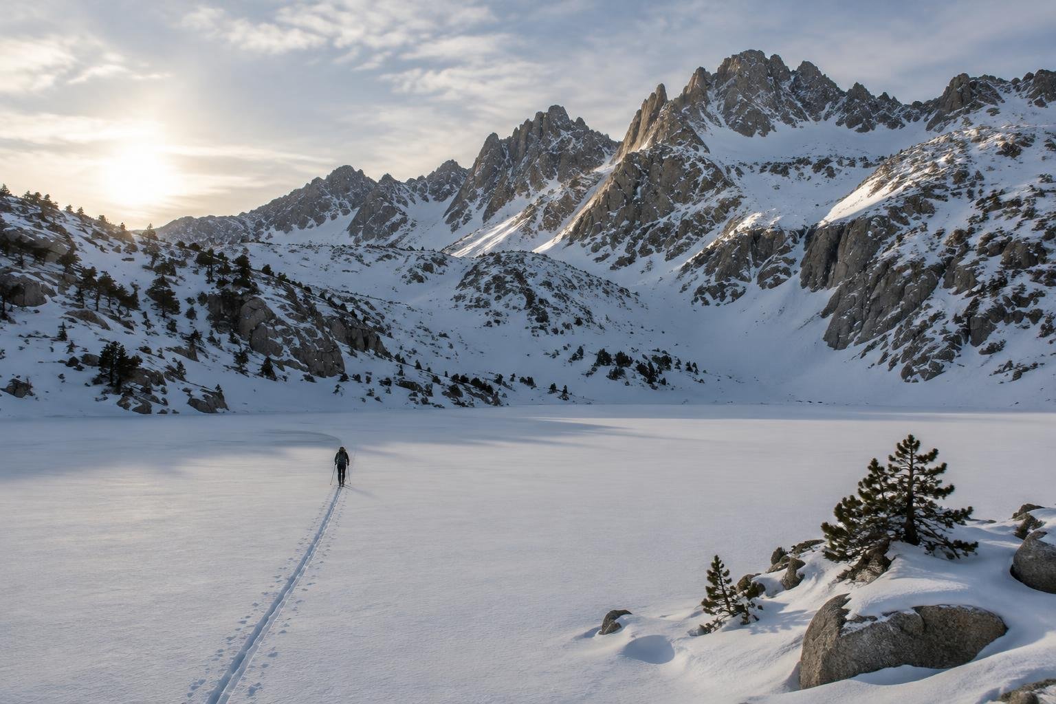
These are the coldest months of the year here, and also the wettest, with roughly 57 to 87 mm of rain a month on average. Daylight is shortest, around 9.5 to 11.7 hours, which leaves little margin on a long day hike. This is well outside the official July to September window for a snow-free trail, so treat the route as a very different undertaking and check with the managing authorities before planning anything.
Spring · April to June
Conditions ease through spring. Warmth moves from cool in April to mild in May and warm in June, and rainfall drops from about 30 mm to just 4 mm on average. Daylight grows from roughly 12.9 to 14.5 hours. Even so, this period sits before the official July to September snow-free window, so confirm current trail conditions with the Inyo National Forest and National Park Service before committing to dates.
Peak season · July to September
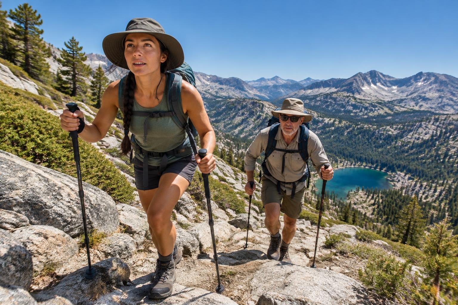
This is the official snow-free window and the best fit for most hikers. July and August are the warmest months of the year here, September stays warm, and rainfall typically runs only 4 to 9 mm a month. Daylight is generous, about 14.3 hours in July, easing to 12.2 in September. Because the quota permit system applies, plan your dates early and check Recreation.gov for the current application window.
Autumn · October to November
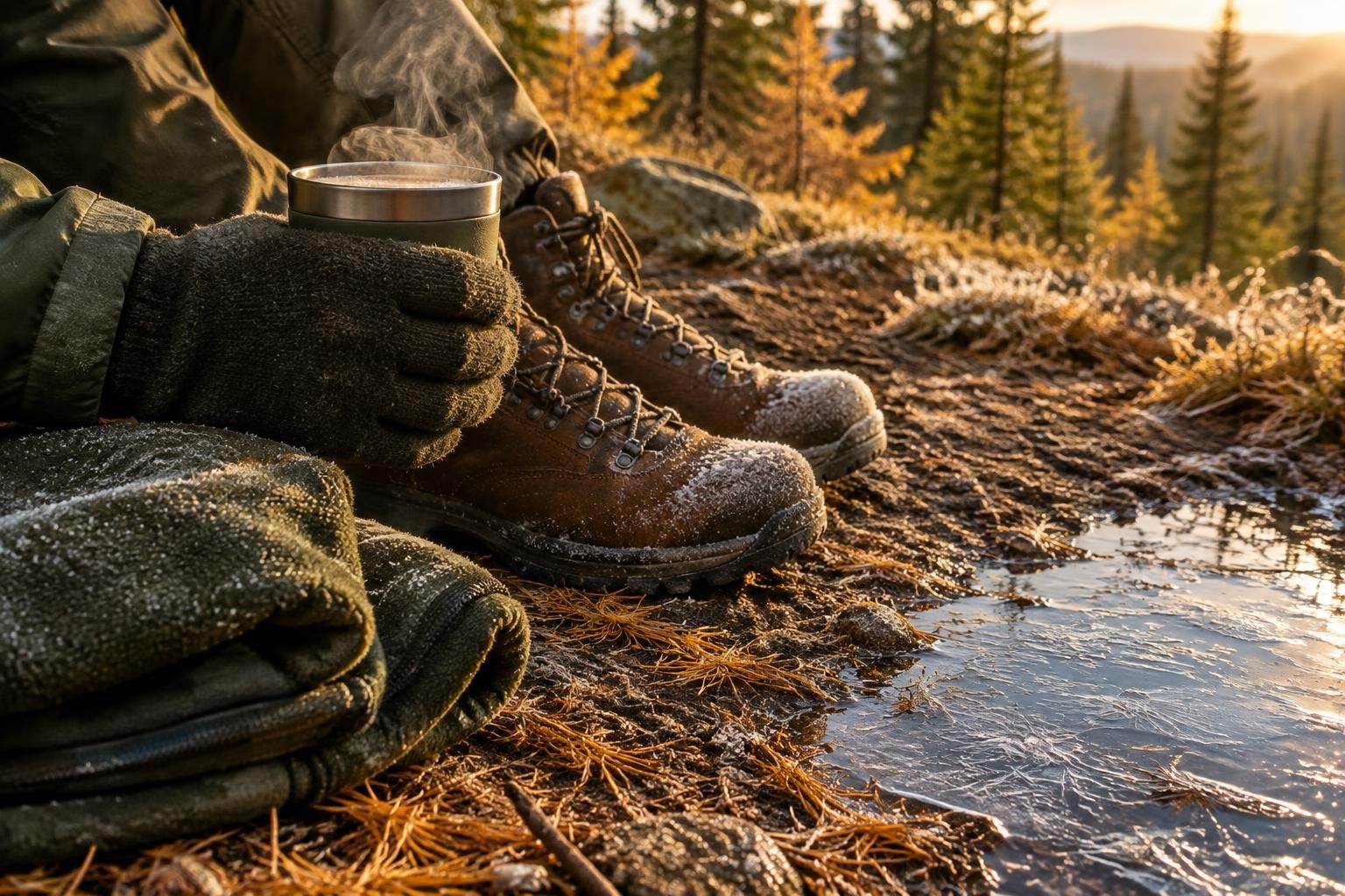
Autumn brings a clear cooling trend, from mild in October to cool in November, with rain rising from about 17 mm to 36 mm on average. Daylight shrinks to roughly 11.0 and then 10.0 hours, so a long ascent has less buffer. These months fall after the official July to September snow-free window, so conditions can be less predictable. Confirm the current situation with the managing authorities before you go.
Official season guidance
U.S. Forest Service & National Park Service: July to September for a snow-free trail
The Mt. Whitney Zone uses a quota permit system for day and overnight hikers; check Recreation.gov and the Inyo National Forest for the current application window. Inyo National Forest food-storage rules vary by area, so confirm what applies to your route before you go; there is no lodge on the mountain.
Check current dates on fs.usda.gov/inyoWhat to pack for the season
Pack for the season and the daylight. Bring layers you can add or shed as conditions change, rain protection even in the drier months, and strong sun cover. Shorter days in spring and autumn make a headlamp essential. In any season, carry enough for a very strenuous, high-altitude day and follow the food-storage rules that apply to your route.
For layering, rain cover and weather planning, see hiking in rain, heat and cold.
Timing mistakes to avoid
The biggest mistake is judging the trail by one month's average instead of the official July to September snow-free window. Another is leaving permits late, since the Mt. Whitney Zone uses a quota system and dates fill through Recreation.gov. Hikers also underestimate how daylight shrinks outside summer, and how modelled regional weather can differ from conditions near the trail. Confirm current conditions and food-storage rules with the Inyo National Forest before you commit.
Common questions
What is the best month to hike Mount Whitney?
The official season guidance points to July to September for a snow-free trail. Within that window, July and August are the warmest months of the year here, with very little rain on average. Choose your dates around permit availability, and check current conditions with the managing authorities before you go.
Is Mount Whitney hikeable outside July to September?
The official season guidance recommends July to September for a snow-free trail, so other months are outside the recommended window. Spring and autumn are cooler and daylight is shorter, and winter is the coldest and wettest period. Check with the Inyo National Forest and National Park Service for current conditions before planning.
How much daylight will I have in summer?
Summer daylight is generous: about 14.5 hours in June and 14.3 in July, easing to roughly 13.4 in August and 12.2 in September. That extra light helps on a very strenuous route, but it still pays to start early and carry a headlamp as a backup.
Do I need a permit to hike Mount Whitney in summer?
Yes. The Mt. Whitney Zone uses a quota permit system for both day and overnight hikers. Check Recreation.gov and the Inyo National Forest for the current application window, and apply early, since the best-season months are when most people want to go.
Sources
- U.S. Forest Service & National Park Service — fs.usda.gov/inyo: official season and permit guidance.
- NASA POWER (Prediction Of Worldwide Energy Resources): monthly temperature and rainfall averages, 2010–2023, from MERRA-2 reanalysis. Daylight hours are calculated from latitude.
Conditions, closures and permit rules change without notice — confirm current information with the managing authority before you go. See our editorial policy and affiliate disclosure.