
Affiliate disclosure: this page contains affiliate links. Purchases made through them may earn us a commission at no extra cost to you. See our affiliate disclosure.
In plain English
Mount Whitney is the tallest mountain in the lower 48 states. The main trail is a very long walk rather than a climb, but it goes very high, where the air has much less oxygen.
That thin air is what stops most people. Your body needs time to adjust, and being fit does not prevent altitude sickness.1 Many hikers spend a night or two sleeping high in the area first to help their body adjust.
You also need a permit, which is limited and handed out by lottery, and a plan for storing food safely from bears and other animals if you camp. Start very early, bring warm clothes even in summer, wear sun protection and turn around at a set time, even if the summit looks close.
What the hike is like
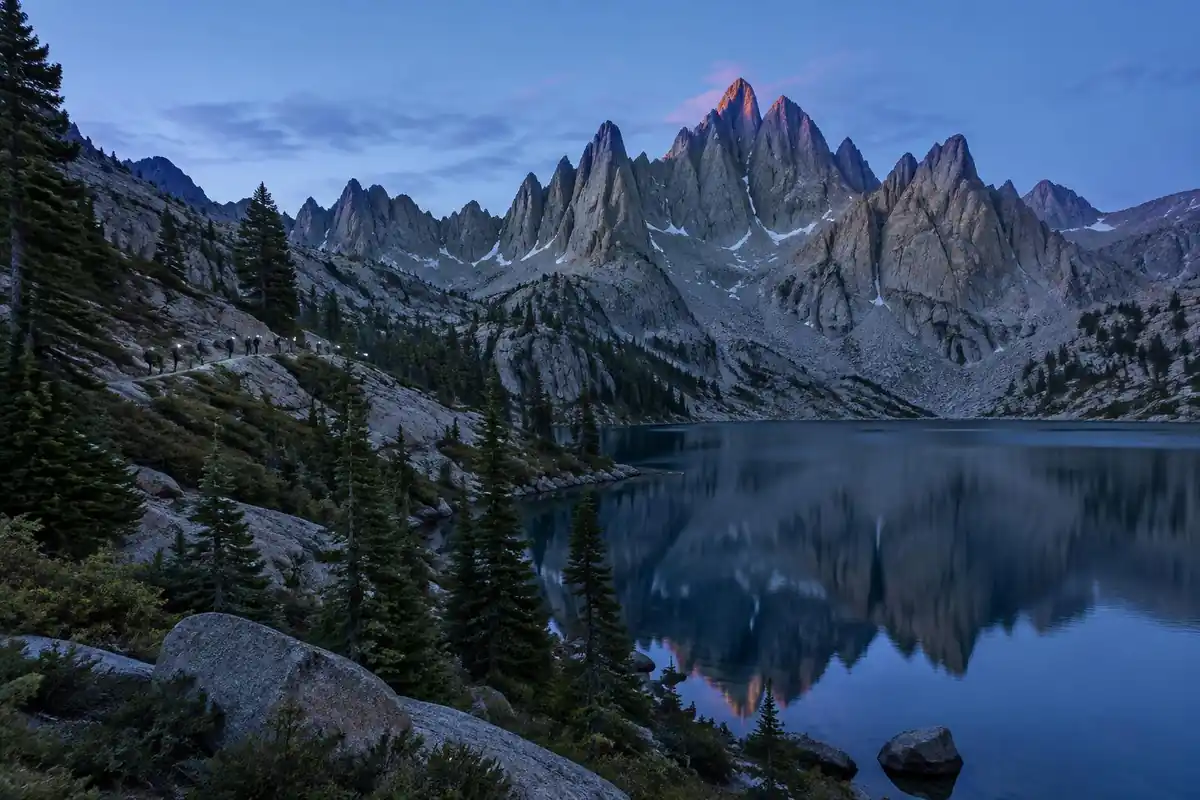
The Whitney Trail is a walk-up, but a very long and very high one. It starts in pine forest on well-built switchbacks, crosses streams and passes small lakes, then climbs out of the trees into a granite basin where the tread turns rocky and the shade disappears for good. Above the upper camping area comes the section everyone talks about: a long stack of tight switchbacks grinding up a steep granite wall, with a cable-protected stretch that holds snow and ice later into the season than the rest of the route. Topping out on the crest, the trail swings onto the back side of the ridge and traverses a rubbly, exposed shelf with gaps between the spires giving sudden views straight down the eastern face, before a final gritty plod across the summit plateau.
How to plan the itinerary
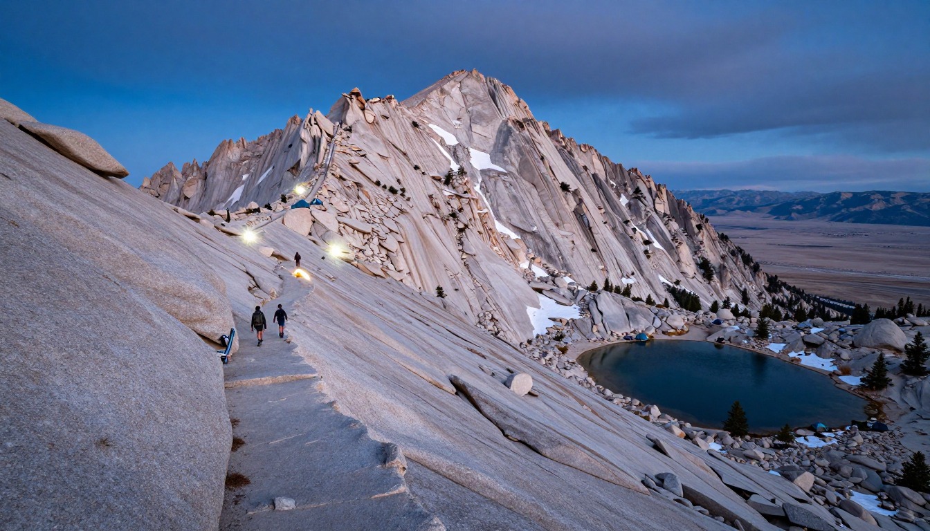
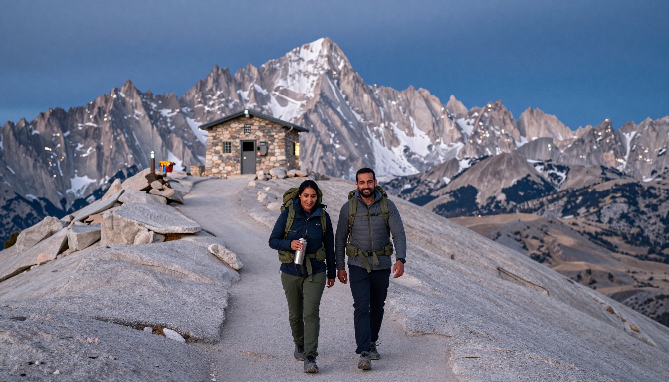
The single-push day is the most common approach and it's a genuinely long one — hikers typically leave the trailhead in the dark, hours before first light, so the summit happens in the morning and the descent doesn't run into the evening. The two-day version breaks the climb with a night at one of the backcountry camps on the route, most often the higher one, which shortens summit morning dramatically at the cost of sleeping at altitude and carrying overnight gear up the steepest ground. Whichever you choose, the real itinerary starts before the trail does: spending at least a night, and ideally more, sleeping high in the area beforehand does more for your chances than any amount of extra fitness. Set a hard turnaround time and honor it.
Plan this trip in 5 steps
-
Pick the right pack
Match a pack to your trip, fit and priorities.
-
Plan food & water
Calories, food weight and water for your days on trail.
-
Estimate your time
Pre-filled with this trail’s distance and climb — adjust for your pace.
Trail-specific tips
Altitude, not fitness, is what ends most attempts on this trail — strong hikers who drive up from sea level and start the same night have the worst success rate of anyone. Go slower than feels right from the first mile. The switchback wall holds ice early and late in the season, so check current conditions rather than assuming a summer date means bare rock, and know whether you're equipped for what you find. The crest traverse is cold and windy even on hot days, so carry layers you'll otherwise resent. Whitney permits are limited and allocated by lottery, and food-storage rules apply year-round in Inyo National Forest wilderness; confirm the current permit process and Whitney Zone container requirements with the Forest Service before an overnight trip. General altitude and conditions guidance is on /trail-smarts/.
Permits & rules
The Mt. Whitney Zone uses a quota permit system for day and overnight hikers; check Recreation.gov and the Inyo National Forest for the current application window. Inyo National Forest food-storage rules vary by area, so confirm what applies to your route before you go; there is no lodge on the mountain.
Gear suited to this hike
Matched to the terrain and conditions here. Real products — check current price on Amazon.



The altitude math of a one-day push
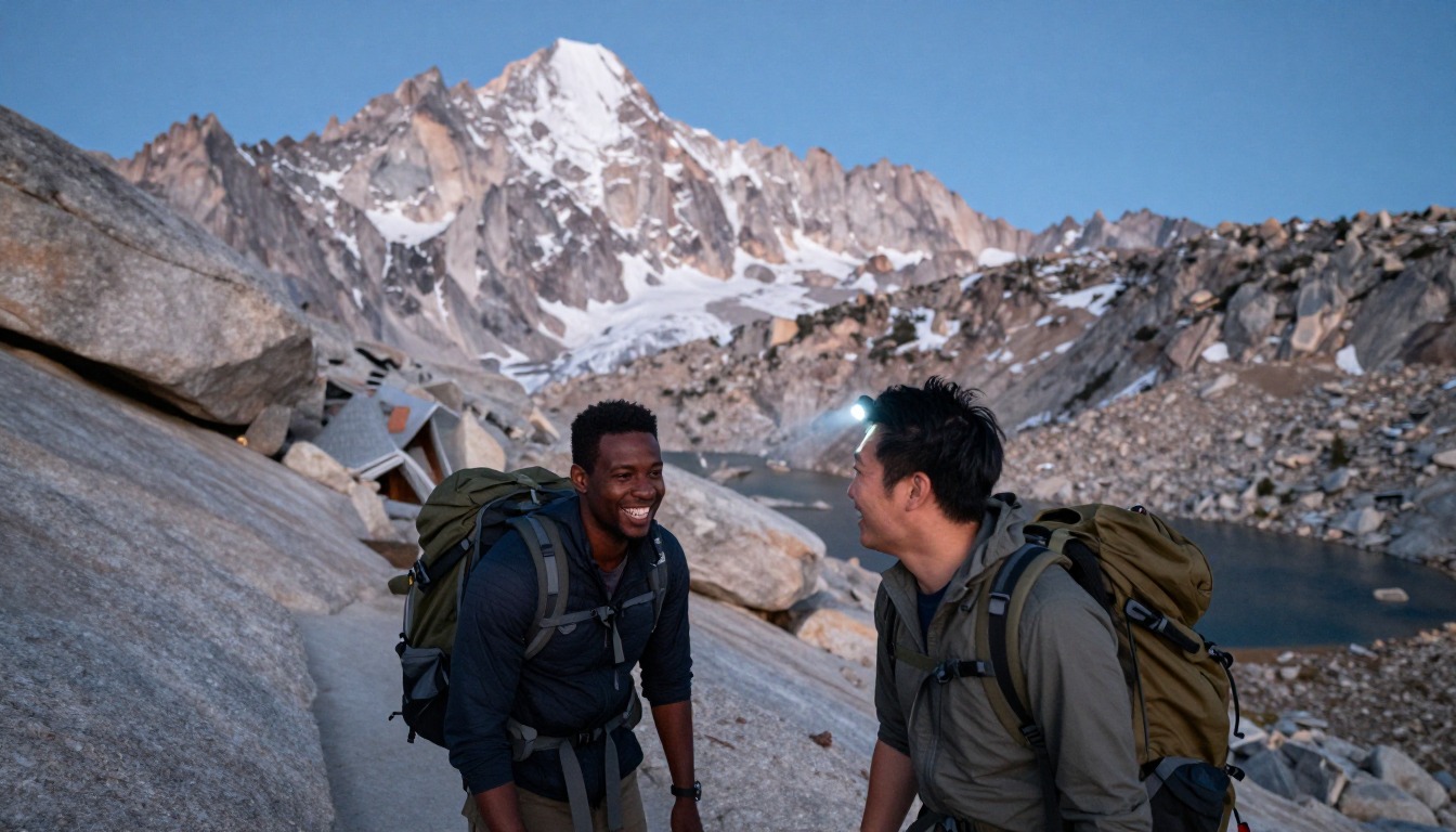
On this page's figures, the trail starts at about 8,360 ft and tops out at 14,505 ft. The CDC says any unacclimatized person sleeping at 8,000 ft or higher is at risk of altitude illness, and that physical fitness and training do not protect against it.1 For a sleeping schedule above about 9,850 ft, it advises rising no more than about 1,600 ft per day.1 A single-day summit gains more than 6,000 ft in hours, which is why the page stresses sleeping high beforehand.
Timing matters too. Headache, the main symptom of acute mountain sickness, typically starts 2 to 12 hours after arrival at altitude.1 On a pre-dawn start, that can mean symptoms appear on the upper switchbacks or the crest, far from the trailhead. The good news is that the CDC says symptoms improve rapidly with a descent of 1,000 ft or more, so turning around is also the treatment.1 Worsening symptoms mean going down and getting medical help.
Food storage: what the Inyo rules actually say
Some guides say overnight trips require a bear canister. The Inyo National Forest's wilderness regulations say food-storage rules apply year-round in all its wilderness areas, and that where canisters are not mandatory, food may be counterbalance-hung at least 15 ft up and 10 ft from the trunk; otherwise a container is required.2 The Whitney Zone's specific requirement is not stated in those sources, so confirm it with the Forest Service before you pack.
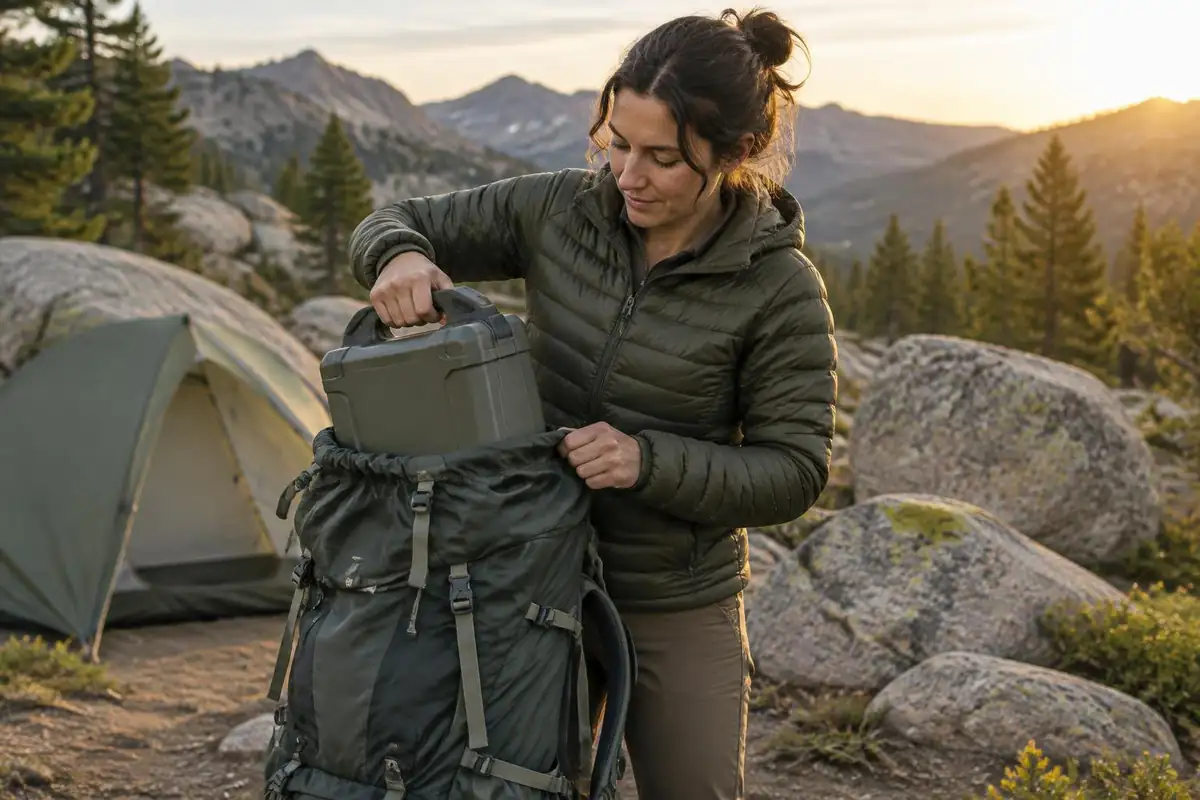
In practice, most Whitney camps sit on open granite above treeline where hanging is not realistic, so a canister is the working answer. They are bulky: Denali's smaller loaner holds three to five days of food and weighs 3 lb.5 Wherever you use one, the NPS says to place it on flat ground at least 100 feet from camp and away from cliffs or water.6
Ice, sun and storms on the upper mountain
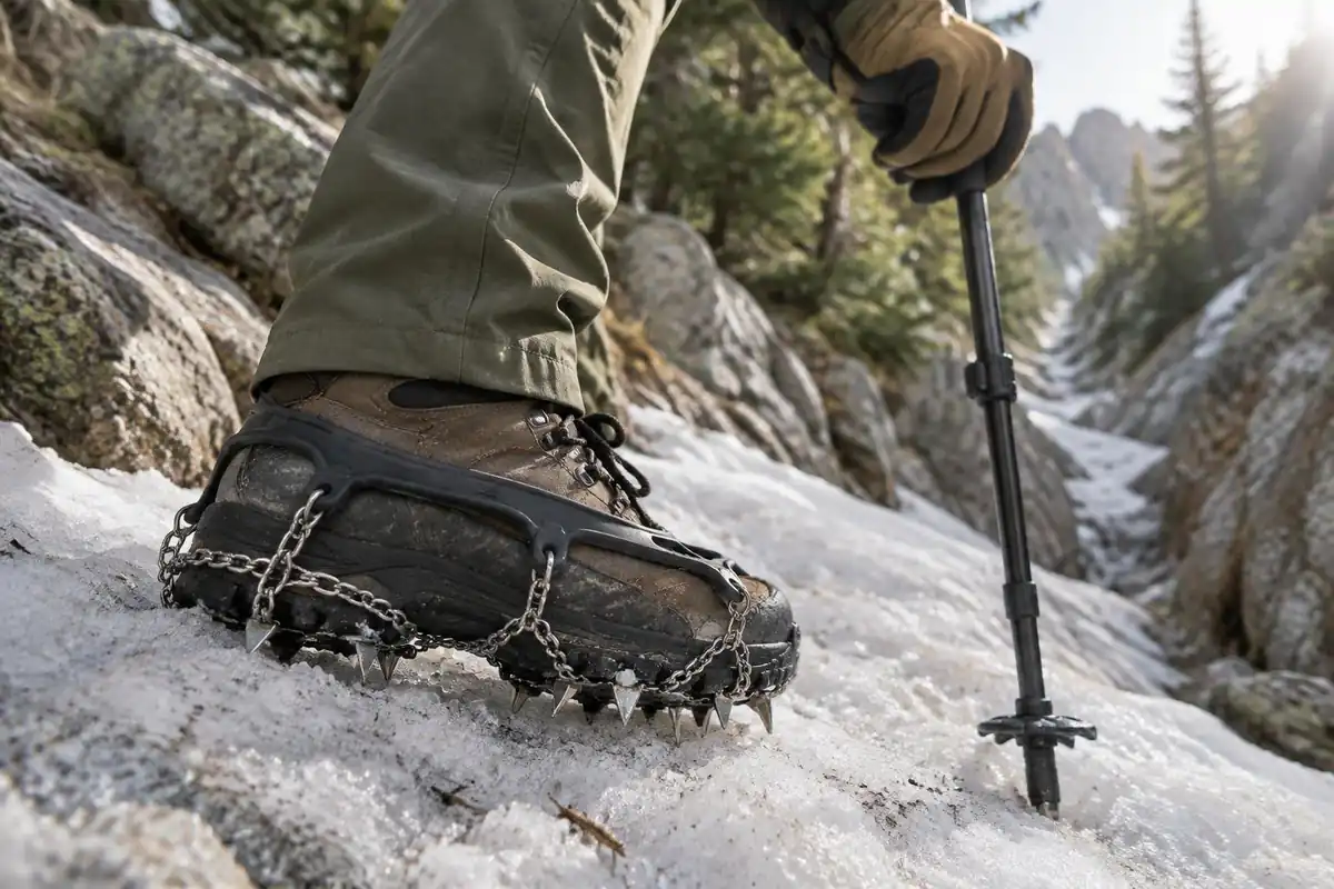
The switchbacks and crest can hold snow and ice outside midsummer. Traction like Kahtoola's MICROspikes is designed for icy, packed snow in mountain terrain, but steeper, harder snow can call for an ice axe and the skills to use it.7 Check recent conditions rather than assuming a date means bare rock.
The forest's homepage is also where current alerts, fire restrictions and fire-danger levels are posted, and it describes the forest as home to the tallest mountains in California.8 Check it the week you go. Sun is stronger than it feels in the cold air. UV intensity increases about 6% per kilometer of elevation, putting the summit at about a quarter above sea-level UV, and snow reflects more back at you.3,9 Finally, the crest is the kind of exposed ridge where the National Weather Service says storms often build in the early afternoon, so hike early and plan to be off the mountain by noon.4
Common questions
Should I do it in one day or two?
One day suits well-acclimatized hikers who are comfortable with a very long push and an early alarm. Two days suits people who'd rather break the climb and start summit morning already high — at the cost of a heavier pack and a night's sleep at altitude, which not everyone gets. Neither is easier overall; they just move the difficulty around.
How much does the altitude affect people?
Substantially, and it's the most common reason people turn back. The upper half of the trail sits high enough that pace slows, appetite fades and headaches are common even in fit hikers. Arriving early and sleeping at elevation for a night or more beforehand is standard practice, and how your body responds on the day is a matter for you and a doctor, not a trail tip.
Do I need an ice axe or microspikes?
It depends entirely on conditions rather than the calendar. The steep switchback section and the crest can hold snow and ice outside the height of summer, and in those conditions traction and the skills to use it become necessary rather than optional. Check recent conditions reports close to your date and be willing to turn around.
How early should I start for a single-day attempt?
Far earlier than feels reasonable — most single-day hikers are walking by headlamp well before dawn. The point isn't speed, it's margin: you want the summit behind you before afternoon weather can build, and enough daylight left that the long descent doesn't turn into a tired, dark scramble over rocky ground.
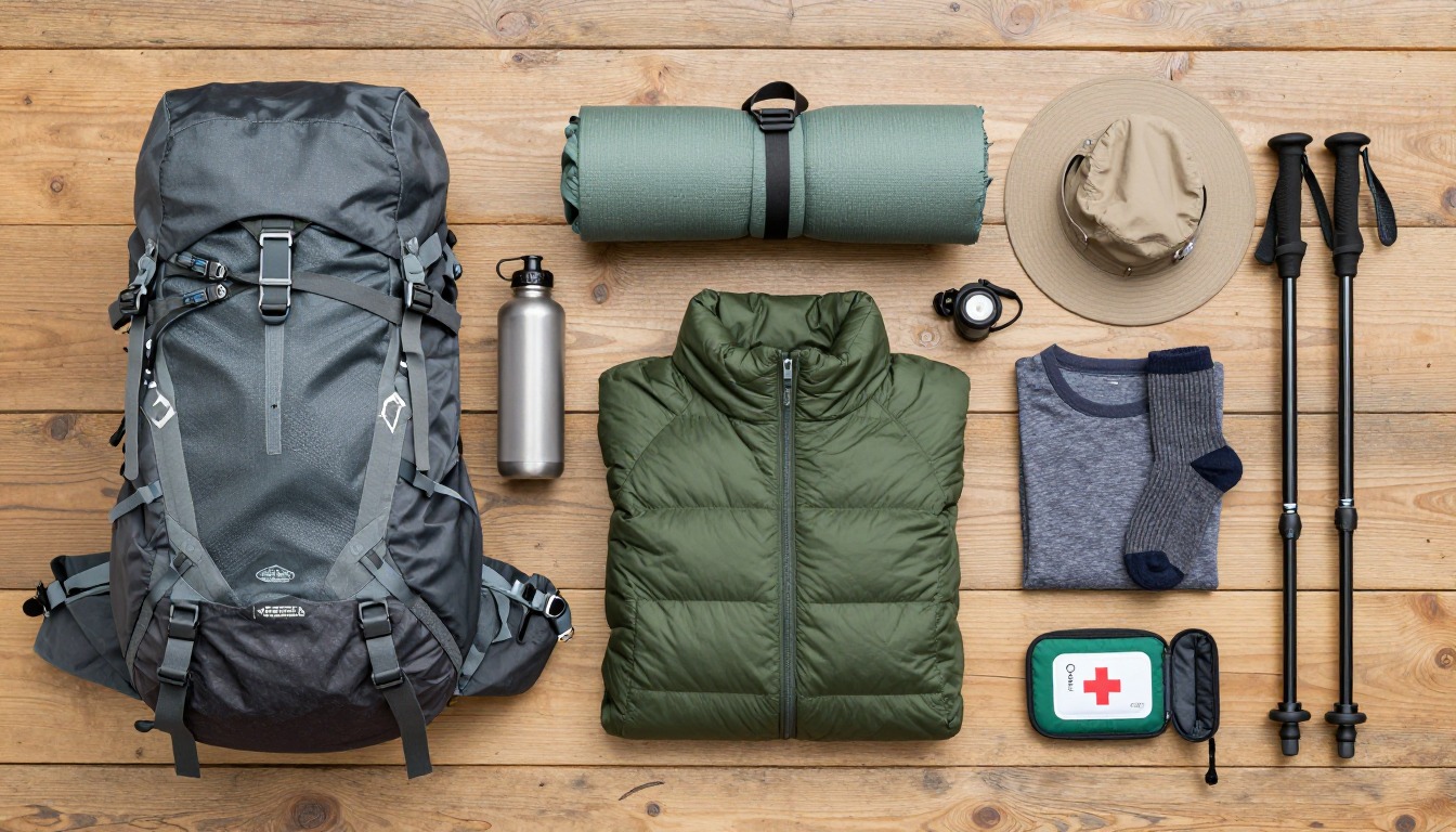
Complete gearsets for this trip
Full curated kits built for exactly this kind of hike.

Trail conditions, permits and access rules change without notice — always confirm current information on the official source above before you go. Some facts on this page are still pending owner verification and are marked accordingly. Product links and the accommodation map are affiliate links: we may earn a commission at no extra cost to you; product prices and availability are shown on Amazon, and accommodation prices on the booking site. See our affiliate disclosure.