
Best Time to Hike PCT — Goat Rocks & the Knife’s Edge
The best time to hike PCT — Goat Rocks & the Knife’s Edge is late July to September, once the snow clears. That window lines up with the driest months, July and August, and long daylight. Outside it, snow and storms make the exposed ridge dangerous, so plan around the snow-free season.
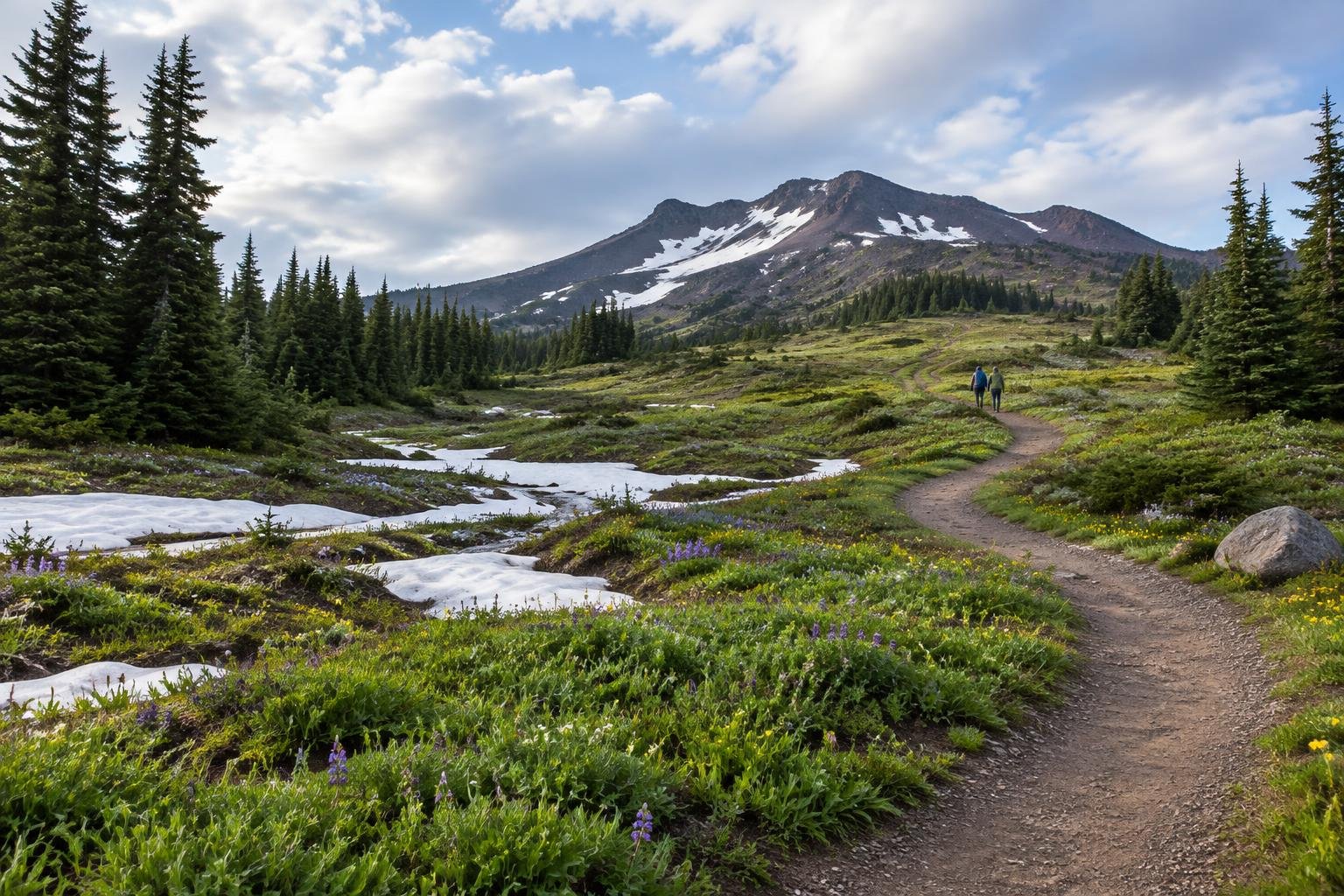
Month-by-month climate for PCT — Goat Rocks & the Knife’s Edge
| Month | Relative warmth | Rain | Daylight |
|---|---|---|---|
| Jan | Coldest | 144 mm | 8.8 h |
| Feb | Coldest | 124 mm | 10.1 h |
| Mar | Cool | 115 mm | 11.6 h |
| Apr | Mild | 83 mm | 13.3 h |
| May | Warm | 66 mm | 14.8 h |
| Jun | Warmest | 45 mm | 15.6 h |
| Jul | Warmest | 11 mm | 15.3 h |
| Aug | Warmest | 14 mm | 14 h |
| Sep | Warmest | 46 mm | 12.3 h |
| Oct | Mild | 110 mm | 10.6 h |
| Nov | Cool | 144 mm | 9.1 h |
| Dec | Coldest | 167 mm | 8.4 h |
Modelled regional averages for 2010–2023 (rainfall) and calculated daylight hours; they describe the wider area, not a reading taken on the trail. “Relative warmth” compares each month with the warmest and coldest months of this place’s own year. It is not a temperature, and the high parts of a route are colder than the region around them.
The numbers show a sharp dry spell at the heart of summer. July is the driest month at about 11 mm, with August close behind at about 14 mm, while December is the wettest at roughly 167 mm and November and January also exceed 140 mm. Daylight swings from about 8.4 hours in December to roughly 15.6 hours in June. June through September are this area's warmest months relative to its own year, while December through February are the coldest. These are modelled regional averages, so treat them as typical patterns rather than conditions at the ridge itself.
PCT — Goat Rocks & the Knife’s Edge season by season
Late spring · April to June
Rainfall eases from about 83 mm in April to about 45 mm in June, and daylight stretches past 15 hours by June. Warmth climbs from mild to the warmest of the year. Even so, the official season guidance points to late July onward, once the snow clears, so these months are usually too early for the exposed ridge. Treat this period as planning time and confirm current conditions with the U.S. Forest Service before committing to any dates.
Core hiking season · July to September
This is the official window, late July to September once the snow clears. July and August are the driest months at about 11 mm and 14 mm, and September stays fairly low at about 46 mm. All three months are among the warmest of the year here, with daylight running from about 15.3 hours in July down to about 12.3 hours in September. The Knife’s Edge remains dangerous in wind or storm, so watch the forecast even inside this window.
Autumn shoulder · October to November
Rainfall rises quickly from about 110 mm in October to about 144 mm in November, and daylight shrinks from about 10.6 hours to about 9.1 hours. Warmth drops from mild to cool relative to the rest of the year. The official guidance places the hiking season earlier, and the Forest Service warns that the ridge is dangerous in snow, wind or storm. These months are best treated as outside the intended window, so check with the managing authority.
Winter · December to March
This stretch brings the wettest and coldest part of the year in the data, with December at about 167 mm of rain and only about 8.4 hours of daylight, and rain still around 115 mm in March. Warmth sits at coldest from December through February and cool in March. The official season guidance does not include these months, and the exposed ridge is flagged as dangerous in snow and storm. Check with the U.S. Forest Service for current conditions rather than assuming access.
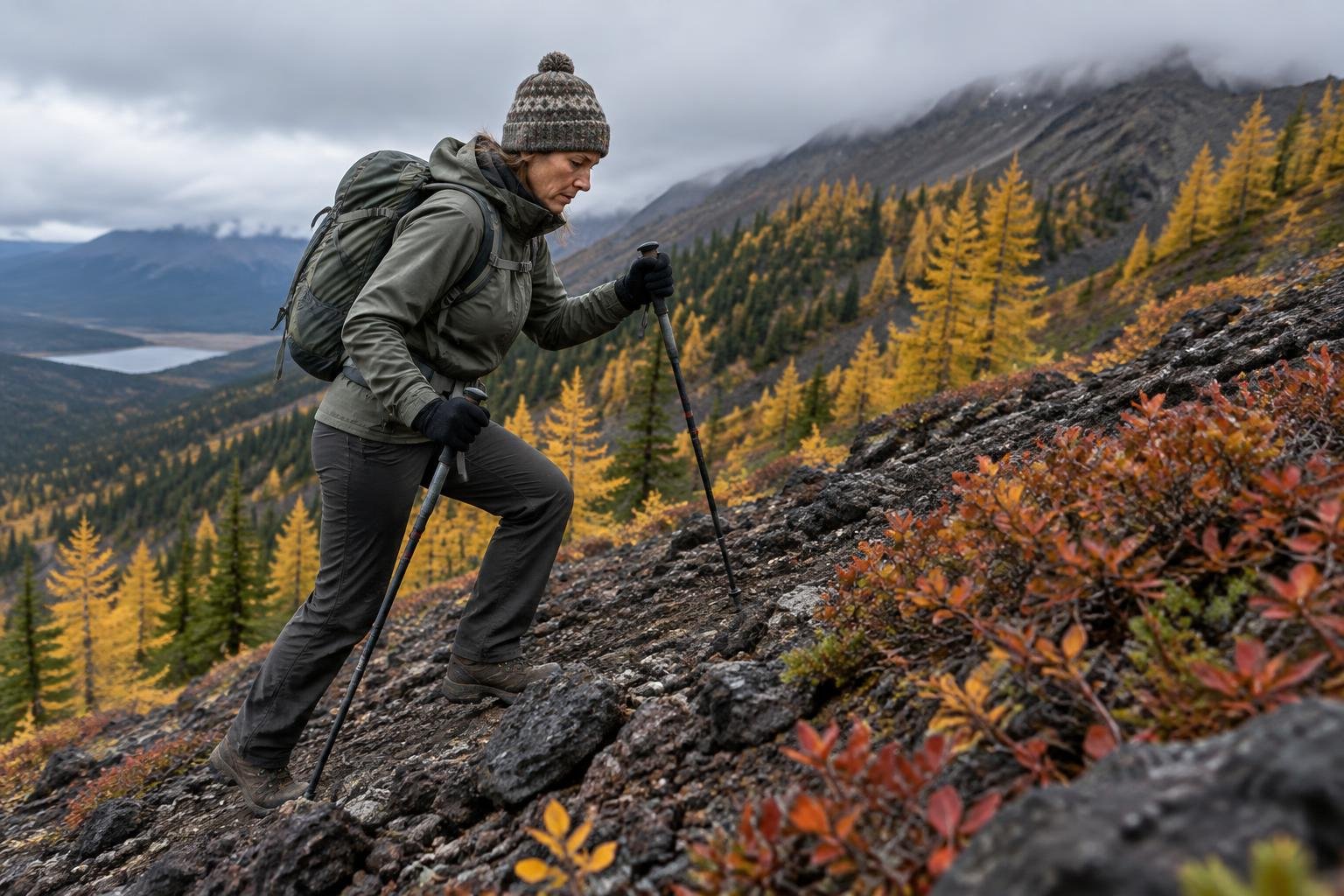
Official season guidance
U.S. Forest Service: Late July to September, once the snow clears
This is wilderness travel: a free, self-issued wilderness permit is required at the trailhead (Gifford Pinchot National Forest), and camping is prohibited at places such as Snowgrass Flat and Shoe Lake Basin without special permits. Long-distance hikers also carry their PCT permit. The exposed Knife’s Edge ridge is dangerous in snow, wind or storm — time it for the snow-free window and watch the weather.
Check current dates on fs.usda.gov (Gifford Pinchot National Forest, wilderness areas)What to pack for the season
Pack for the season you choose, not the average. Even in the dry summer window, an exposed ridge calls for wind-proof layers, rain cover, and sun protection. Because daylight shrinks toward September and beyond, carry a headlamp and plan for earlier sunsets. Shoulder-season trips need warmer layers and more weather margin.
For layering, rain cover and weather planning, see hiking in rain, heat and cold.
Timing mistakes to avoid
A common mistake is picking a date from a single warm month instead of the official late July to September guidance, which depends on the snow clearing. Another is ignoring that the Knife’s Edge is dangerous in snow, wind or storm even within the window. Hikers also overlook permit rules: a free self-issued wilderness permit is required, and camping is prohibited at certain places without special permits. Confirm conditions with the managing authority before you go.
Common questions
When is the snow-free season for Goat Rocks?
The official guidance gives late July to September, once the snow clears. Exact dates vary from year to year, so confirm current conditions with the U.S. Forest Service before you plan your trip or choose a trailhead date.
Which month is driest on this section?
July is the driest month in the modelled data at about 11 mm of rain, with August close at about 14 mm. These are typical regional averages rather than measurements at the ridge, so weather can still turn quickly.
How much daylight can I expect in summer?
Daylight runs about 15.3 hours in July, about 14.0 in August and about 12.3 in September, peaking near 15.6 hours in June. Daylight shortens noticeably toward autumn, so carry a headlamp and plan your start times accordingly.
Does the timing affect permits or camping rules?
Timing does not change the rules. A free self-issued wilderness permit is required at the trailhead year-round, and camping is prohibited at places like Snowgrass Flat and Shoe Lake Basin without special permits. Long-distance hikers also carry their PCT permit.
Sources
- U.S. Forest Service — fs.usda.gov (Gifford Pinchot National Forest, wilderness areas): official season and permit guidance.
- NASA POWER (Prediction Of Worldwide Energy Resources): monthly temperature and rainfall averages, 2010–2023, from MERRA-2 reanalysis. Daylight hours are calculated from latitude.
Conditions, closures and permit rules change without notice — confirm current information with the managing authority before you go. See our editorial policy and affiliate disclosure.