
Affiliate disclosure: this page contains affiliate links. Purchases made through them may earn us a commission at no extra cost to you. See our affiliate disclosure.
In plain English
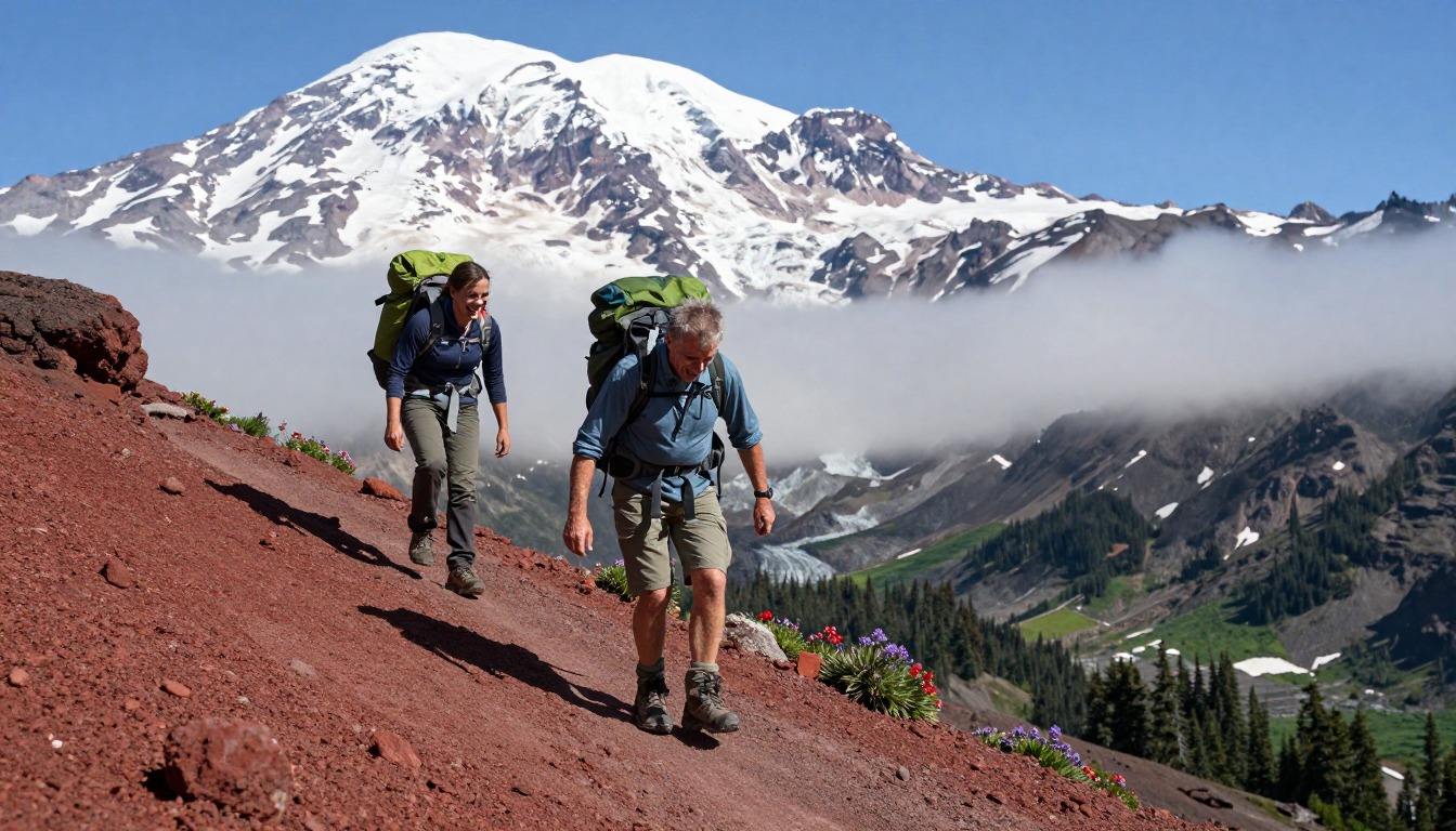
The Knife's Edge is a stretch of the Pacific Crest Trail in Washington where the path runs along a narrow rocky ridge with steep drops on both sides. It is not a technical climb, but it needs steady attention. There is loose rock underfoot, and there is nothing to block the wind.
Weather is the main thing to plan around. Mountain storms often build in the afternoon, and a ridge is a bad place to be when thunder starts. Thunderstorms are like a kettle that heats slowly and then boils over, so the safe habit is to cross early in the day and turn back or wait if the sky looks wrong.
There can also be a steep snowfield that stays hard in the morning and gets soft and slushy later. Your pack matters here in a simple way. It should be snug and stable so it does not swing when you step carefully, and it should hold warm layers and a rain jacket that you can grab quickly without taking the whole pack off.
What the hike is like
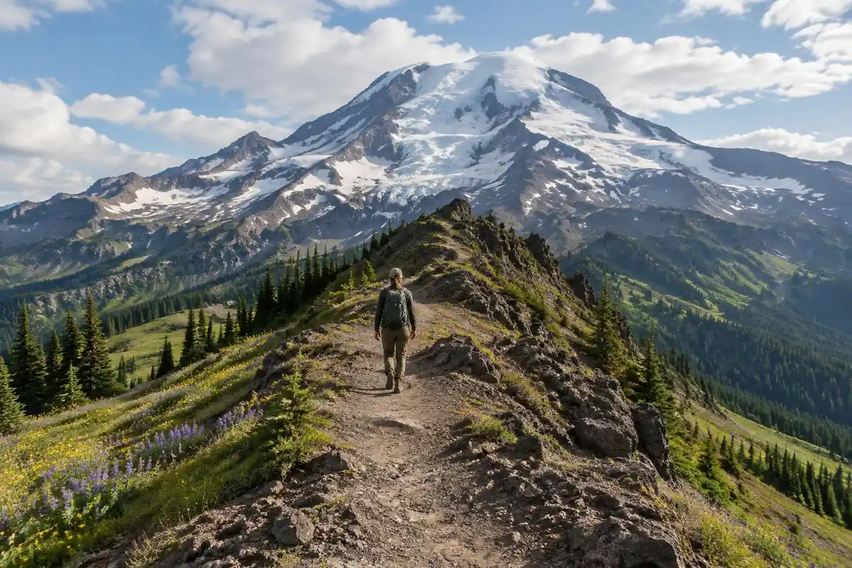
The approach is ordinary Cascade walking — graded trail through timber, then huckleberry and open meadow as the forest thins — and it stays that way right up until it doesn't. Above the meadows the tread turns to loose volcanic rock and scree, and the route crosses a snowfield on the flank of the high point that can linger well into summer: hard and angled in the morning, soft and sloppy by afternoon. Near there the trail splits into a lower stock route and a higher line over the shoulder, the two rejoining before the ridge proper. The Knife's Edge is the part everyone describes afterward: a narrow spine of broken rock with the mountain falling away on both sides, the tread sometimes barely wider than your boots, rubble rolling underfoot and nothing to break the wind. It lasts long enough to demand sustained attention rather than one nervous moment.
How to plan the itinerary
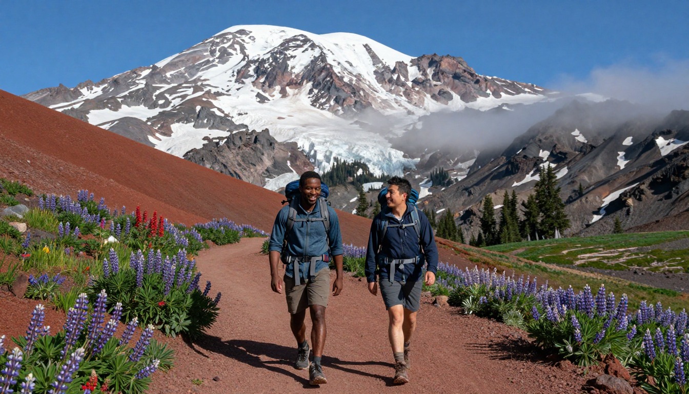
Most people on this ridge are thru-hikers passing through in the middle of a far bigger trip, and for them it is simply a day of walking with a long exposed middle. As a standalone outing it is usually done point to point between the White Pass side and a trailhead out of the Packwood side, commonly spread over two to three days. That pacing leaves time to camp well below the crest and take the exposed section in the morning, when conditions are often calmer and any lingering snow is likely to be firmer. Strong hikers sometimes push the whole traverse in one very long day, which only works with a settled forecast and an early start. However you stage it, plan the high traverse around the weather rather than around a fixed schedule — this is a section worth sitting out a bad day for.
Plan this trip in 5 steps
-
Pick the right pack
Match a pack to your trip, fit and priorities.
-
Book a place to stay
Campgrounds, huts and lodges near PCT — Goat Rocks & the Knife’s Edge.
-
Plan food & water
Calories, food weight and water for your days on trail.
-
Estimate your time
Pre-filled with this trail’s distance and climb — adjust for your pace.
Trail-specific tips
Cross the exposed ridge early. Afternoons here bring wind, building cloud and, often enough, weather arriving faster than you can walk out of it. The lingering snowfield below the high point catches people out more than the Knife's Edge itself — it is steep enough that a slip slides, and early in the season traction devices are worth carrying even in the middle of summer. Don't plan to camp on the crest either; there is no water and no shelter up there, and the established sites sit below on both sides. For weather, navigation and exposure fundamentals, see /trail-smarts/.
Permits & rules
This is wilderness travel: a free, self-issued wilderness permit is required at the trailhead (Gifford Pinchot National Forest), and camping is prohibited at places such as Snowgrass Flat and Shoe Lake Basin without special permits. Long-distance hikers also carry their PCT permit. The exposed Knife’s Edge ridge is dangerous in snow, wind or storm — time it for the snow-free window and watch the weather.
Gear suited to this hike
Matched to the terrain and conditions here. Real products — check current price on Amazon.


Thunder, ridges and the case for an early start
The National Weather Service says that in the mountains thunderstorms often build in the early afternoon, so hikers should start early and be off the mountain by noon.1 It also says to avoid open fields, hilltops and ridge tops and to stay away from tall, isolated trees, and that a tent offers no protection from lightning.1 A narrow exposed spine like the Knife's Edge is exactly the kind of place that advice describes, which is why the page's planning advice to take the traverse in the morning and sit out a bad day is well founded.
The NWS rule of thumb is that if you can hear thunder, you are likely within striking distance, and it says delaying the move to shelter contributes to many US lightning deaths and injuries.4 It also advises waiting 30 minutes after the last thunder before returning to exposed areas.1 Groups caught outside are told to spread out so current does not travel between members.1 In practice, that means deciding your turnaround point before you start and treating the first distant rumble as a signal to retreat toward lower ground, not as a cue to hurry across.
Cold, wind and staying dry at altitude
A ridge with nothing to break the wind can feel cold on a summer day, and wet clothing makes it worse. The CDC says hypothermia can develop even in temperatures above 40 degrees F if you get chilled by rain, sweat or cold water, and it lists hikers among the people at higher risk because they stay outdoors so long.2 Warning signs include shivering, fumbling hands, confusion and slurred speech, and the person affected may not realize what is happening.2 The National Park Service describes it as a progressive collapse from chilling of the body's inner core.5
For gear, this argues for packing insulation and a waterproof shell where you can reach them without unpacking, and for keeping a spare dry layer sealed in the pack. The point of a shell on a windy ridge is as much to block wind as to stop rain.
Snow, traction and sharing the trail
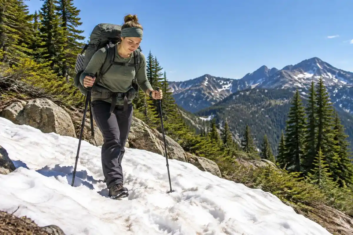
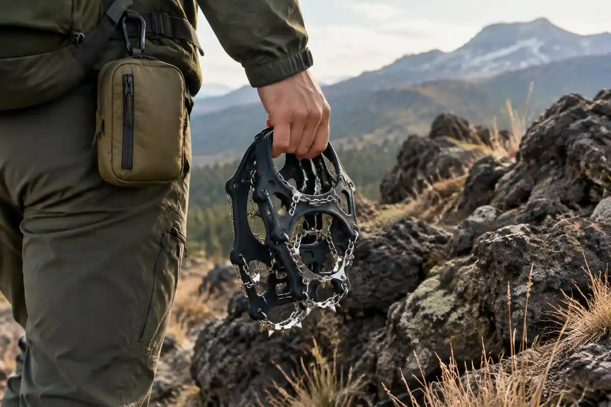
The old snowfield below the high point is the other piece of this route that changes with the season and the hour. Traction devices such as Kahtoola's MICROspikes, which have twelve stainless steel spikes per foot, are designed for icy, packed snow in mountainous terrain.6 Whether you need them depends on how much snow remains that year and the time of day, so check recent trail reports and weigh the added ounces against the risk of a slide on hard morning snow. Trekking poles help as well: a study found poles significantly reduced joint loading at the lower limbs during downhill hiking, and the benefit held across pack loads from none to a heavy expedition pack.7
Trail manners matter where a lower stock route and the hiker line share the mountain. The National Park Service etiquette guidance says hikers yield to horses and pack stock, and uphill hikers have right of way.3 Step off on the downhill side and keep your pack from snagging on the animals. If you bring a dog, note that Gifford Pinchot National Forest has no leash requirement over most of the forest but does require six-foot leashes in developed areas, some trails have their own rules, and dogs may not chase game.8 Check the current trail rules for this section before you go.
Land manager and current conditions
Closures, fire restrictions and snow reports for the Goat Rocks Wilderness are set by the land manager, so check the Gifford Pinchot National Forest's current pages before you go.
Common questions
How exposed is the Knife's Edge really?
It is genuinely narrow and genuinely exposed — a rocky spine with steep ground dropping away on both sides for a sustained stretch, not just one airy step. The trail is a walking route with no climbing involved, but the combination of loose rock, drop-offs and open wind is what people remember, and what turns some hikers around.
Is it manageable if I'm afraid of heights?
Hikers with a strong fear of heights often find this section hard, because the exposure continues rather than passing in a moment. Many still manage it by going early in calm conditions, keeping their eyes on the tread and moving steadily rather than stopping to look down. If wind is up or visibility drops, turning around is the sound call.
Do I need an ice axe or traction devices?
It depends on the year and how early you go. The snowfield below the high point can persist right through summer, and when it is frozen or steeply angled, microspikes — and sometimes an axe — make a real difference. Late in a light snow year, many hikers cross it with nothing extra. Check recent conditions reports before committing.
Can Goat Rocks be done as a day hike?
Fit hikers do push through the exposed section in a single long day from a nearby trailhead, but it makes for a big outing with very little margin if the weather turns. Splitting it across a couple of days, with a camp below the crest, is the more common approach and gives you a clean morning window for the ridge.
Which direction should I walk it?
Both directions work, and the choice usually comes down to logistics — where you can leave a vehicle or arrange a shuttle between the White Pass side and the Packwood side. What matters more than direction is where you camp the night before, because you want to start the exposed traverse early rather than reaching it late in the day.
Complete gearsets for this trip
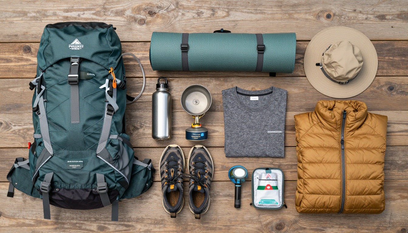
Full curated kits built for exactly this kind of hike.


Trail conditions, permits and access rules change without notice — always confirm current information on the official source above before you go. Some facts on this page are still pending owner verification and are marked accordingly. Product links and the accommodation map are affiliate links: we may earn a commission at no extra cost to you; product prices and availability are shown on Amazon, and accommodation prices on the booking site. See our affiliate disclosure.