
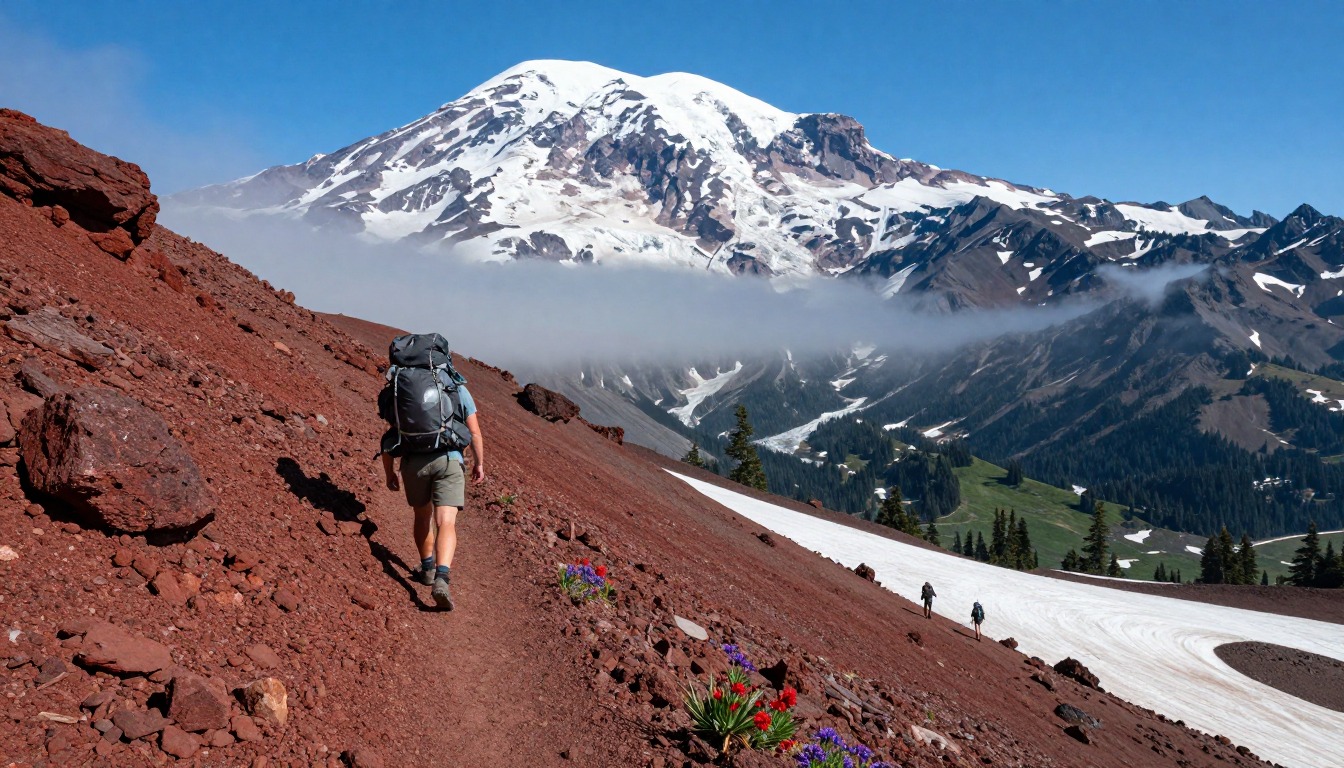
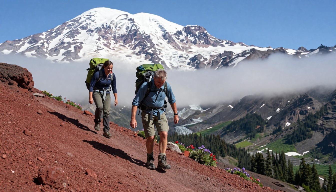
Illustrative artwork — an impression of PCT — Goat Rocks & the Knife’s Edge, not a literal photograph.
The Pacific Crest Trail's traverse of the Goat Rocks Wilderness, in Washington's Gifford Pinchot National Forest, is one of the most exposed and celebrated alpine ridge sections on the entire trail, climaxing at the narrow "Knife's Edge." This is wilderness backcountry, so there's no hut or lodge at the end of the day — you camp at an established backcountry site along the route, with the nearest real beds down at White Pass or in the town of Packwood.
Why hike here
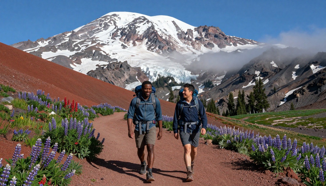
What makes Goat Rocks special is the exposure: the Knife's Edge narrows to a thin spine of trail with the land falling away on both sides, and on a clear day three volcanoes stand up around you — Mount Rainier to the north, Mount Adams close by to the south, and Mount St. Helens further off to the west. Long-distance PCT hikers reach this stretch already miles into their trip, and it's often described as a highlight of the whole trail. Even as a shorter trip, the ridge delivers a rare sense of walking above everything, alpine meadows and rock giving way to sky on both sides. Time it for the snow-free window and a clear forecast, and the ridge rewards you with one of the widest, most open views on the entire Pacific Crest Trail.
Getting there
There's no major airport near the Goat Rocks Wilderness, so most visitors fly into Seattle or Portland and drive from there. The trail is accessed from either end — White Pass to the north or the town of Packwood to the south — both reached by highway from the interstate corridor. Packwood functions as the practical staging point, with the last gas, groceries, and any lodging before the wilderness boundary. From either access point, it's a drive on forest roads to the trailhead itself, so a rental car is effectively required to reach this stretch of the PCT.
Where to stay
The realistic options, closest-to-the-trail first. Book through the official links — we don't list prices or availability because they change all the time.
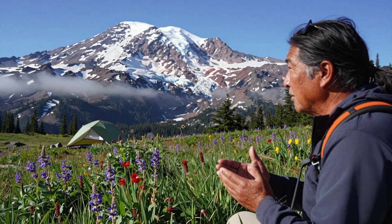 Illustrative — evokes the setting, not a specific property.
 For example: Established backcountry campsites along the PCT through the Goat Rocks
Backpackers and thru-hikers — this stretch is wilderness camping.
A long-distance PCT permit or local wilderness rules apply; camp on durable sites and store food properly.
Wilderness camping (PCT / Forest Service rules)For example: Small lodging at White Pass and in the town of Packwood
Section hikers and thru-hikers resupplying near the trail.
White Pass is a common access and resupply point for this section.
Nearby-town lodgingPermits & rules
This wilderness section is backcountry camping only. Long-distance hikers carry a PCT permit; shorter trips follow Forest Service wilderness rules. The exposed Knife’s Edge ridge is dangerous in snow, wind or storm — time it for the snow-free window and watch the weather.
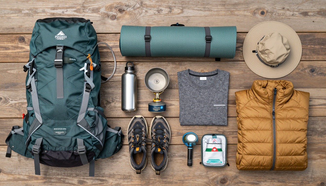
Gear you'll want for this trip
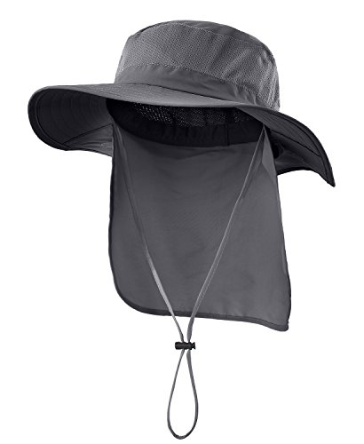
Matched to the terrain and conditions here. Real products — check current price on Amazon.


Common questions
Where do you sleep on this stretch of the PCT?
This is wilderness backcountry, so there's no lodge or hut on the route itself — you camp at established backcountry campsites along the trail. The closest actual beds are outside the wilderness at White Pass or in the town of Packwood, both useful as access points before or after the hike.
Do I need a permit to hike the Knife's Edge?
It depends on your trip. Long-distance PCT thru-hikers carry a PCT long-distance permit that covers this section. If you're hiking a shorter stretch just through Goat Rocks, you instead follow the Gifford Pinchot National Forest's standard wilderness permit and camping rules, which are simpler but still required.
When is the best time to hike Goat Rocks?
Late July through September is the usual window, once snow has cleared from the high ridge. The Knife's Edge is narrow and fully exposed, so snow, high wind, or an incoming storm make it genuinely dangerous — check the forecast closely and be ready to wait out or turn back from bad weather.
Complete gearsets for this trip
Full curated kits built for exactly this kind of hike — what to bring, why, and links to similar gear.


Lodging details are compiled from official parks, refuge associations and reservation systems and can change without notice. We publish no prices, availability or ratings — always confirm current information on the official site before booking or setting out. Product links are affiliate links: we may earn a commission at no extra cost to you; prices and availability are shown on Amazon. See our affiliate disclosure.