
Best Time to Hike Cordillera Huayhuash Circuit
The best time to hike the Cordillera Huayhuash Circuit is May to September, the dry season according to the managing communities' guidance. The regional rainfall figures agree: June through August are typically the driest months, while December to March are the wettest and best avoided.
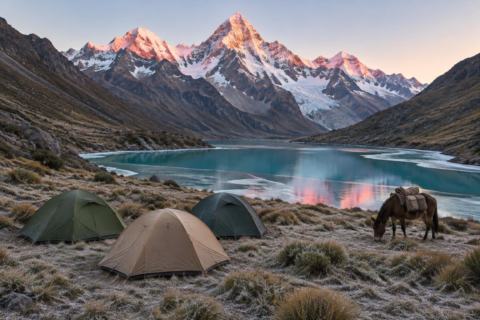
Month-by-month climate for Cordillera Huayhuash Circuit
| Month | Rain | Daylight |
|---|---|---|
| Jan | 44 mm | 12.5 h |
| Feb | 41 mm | 12.3 h |
| Mar | 42 mm | 12.1 h |
| Apr | 21 mm | 11.8 h |
| May | 19 mm | 11.5 h |
| Jun | 10 mm | 11.4 h |
| Jul | 9 mm | 11.5 h |
| Aug | 7 mm | 11.7 h |
| Sep | 8 mm | 11.9 h |
| Oct | 23 mm | 12.2 h |
| Nov | 29 mm | 12.5 h |
| Dec | 49 mm | 12.6 h |
Modelled regional averages for 2010–2023 (rainfall) and calculated daylight hours; they describe the wider area, not a reading taken on the trail. Temperature changes little from month to month here, so we don’t chart it. Altitude, not season, drives how cold it feels on the route, so check the managing authority’s guidance for the section you plan to walk.
The modelled regional averages show a clear dry and wet split. July (9 mm), August (7 mm) and September (8 mm) are the driest months, with June close behind at 10 mm. Rainfall climbs through October (23 mm) and November (29 mm), then peaks around December (49 mm), January (44 mm), February (41 mm) and March (42 mm). Daylight varies only modestly, from about 11.4 hours in June to 12.6 hours in December, so the dry season actually has slightly shorter days. Because warmth is not shown for this place, temperature barely changes by month here; altitude, not season, drives how cold it feels.
Cordillera Huayhuash Circuit season by season
Early dry season · May to June
May and June mark the start of the window the official season guidance recommends. Rainfall typically drops from 19 mm in May to 10 mm in June, so wet-weather risk falls quickly as the months pass. Daylight is around 11.4 to 11.5 hours, which is a little shorter than the rest of the year, so plan your daily stages to finish well before dark. Because conditions at the start of the season can still be changeable, confirm current rules and fees locally or with an operator before setting out.
Peak dry season · July to September
These are the driest months in the record, at 9 mm in July, 7 mm in August and 8 mm in September, and they sit squarely inside the recommended May to September window. Daylight lengthens slightly from about 11.5 hours in July to 11.9 hours in September. Because this is the most reliable stretch for dry conditions, it is also when you should expect the route to be at its most frequented, so confirm fees and camping rules with the local communities or an operator ahead of time and give yourself acclimatization days first.
Shoulder and build-up · October to November
Rainfall typically rises to 23 mm in October and 29 mm in November, a clear step up from the dry-season lows, and both months fall outside the official season guidance of May to September. Daylight grows to roughly 12.2 to 12.5 hours, which is the one real advantage of these months. Anyone considering this window should treat it as a gamble on the weather, and should check with local communities or an operator about current conditions and whether camping and passage arrangements still apply.
Wet season · December to April
December to March bring the heaviest rainfall of the year, at 49 mm, 44 mm, 41 mm and 42 mm respectively, and April, at 21 mm, is still a transition month. None of these fall inside the recommended May to September window. Daylight is longest here, about 12.6 hours in December, but that does not offset the wetter conditions on a remote, very high camping circuit. Conditions change, so check with local communities or an operator before considering any trip outside the dry season.
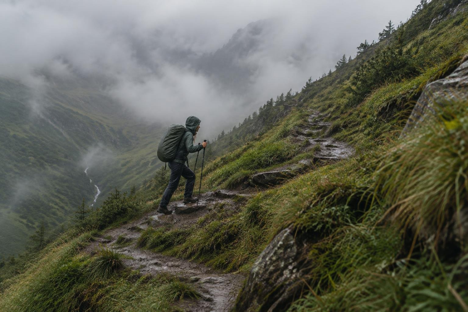
Official season guidance
Local communities: May to September (dry season)
Entry and camping fees are collected by the local communities the route crosses; confirm current fees and rules locally or with an operator. This is a remote, very high, self-sufficient camping circuit — acclimatize thoroughly in Huaraz first and be ready for cold and altitude.
Check current dates on gob.pe/sernanp (SERNANP, Peru protected areas agency)What to pack for the season
Packing should follow the season and the altitude rather than a single temperature expectation. Bring layers you can add or shed, since how cold it feels depends mainly on height. Carry reliable rain cover for the shoulder months and a headlamp, as daylight is only around 11.4 to 12.6 hours across the year. Add sun protection for exposed high ground, and remember this is a self-sufficient camping circuit.
For layering, rain cover and weather planning, see hiking in rain, heat and cold.
Timing mistakes to avoid
The most common timing mistake is judging the whole season by a single month. May and September sit at the edges of the recommended window, while July and August are the driest, so the months are not interchangeable. Another is treating the shoulder months of October and November as equivalent to the dry season when their rainfall is noticeably higher. Finally, do not leave acclimatization to chance: the guidance says to acclimatize thoroughly in Huaraz first, so build that time into your schedule before choosing your start date.
Common questions
What is the best month to hike the Cordillera Huayhuash Circuit?
The official season guidance gives May to September as the dry season, and the modelled rainfall supports that. July, August and September are typically the driest months at 9 mm, 7 mm and 8 mm. Within that window, the exact month matters less than confirming fees and rules locally or with an operator.
Is the wet season a bad time to hike the Huayhuash?
It is outside the recommended window. December to March typically see the highest rainfall, between roughly 41 and 49 mm per month on the regional average. Since this is a remote, very high, self-sufficient camping circuit, the managing communities' guidance points to May to September, so check locally before considering any other time.
Do the days get much longer or shorter through the year?
Not by much. Calculated daylight ranges from about 11.4 hours in June to 12.6 hours in December. That means the dry season actually has slightly shorter days, so plan your daily stages to finish before dark and carry a headlamp regardless of when you go.
Do I need to check anything before choosing my dates?
Yes. Entry and camping fees are collected by the local communities the route crosses, and rules can change, so confirm current fees and requirements locally or with an operator. The guidance also stresses thorough acclimatization in Huaraz first, so allow time for that before your start date.
Sources
- Local communities — gob.pe/sernanp (SERNANP, Peru protected areas agency): official season and permit guidance.
- NASA POWER (Prediction Of Worldwide Energy Resources): monthly temperature and rainfall averages, 2010–2023, from MERRA-2 reanalysis. Daylight hours are calculated from latitude.
Conditions, closures and permit rules change without notice — confirm current information with the managing authority before you go. See our editorial policy and affiliate disclosure.