Affiliate disclosure: this page contains affiliate links. Purchases made through them may earn us a commission at no extra cost to you. See our affiliate disclosure.
In plain English
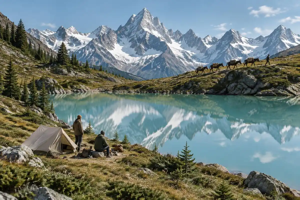
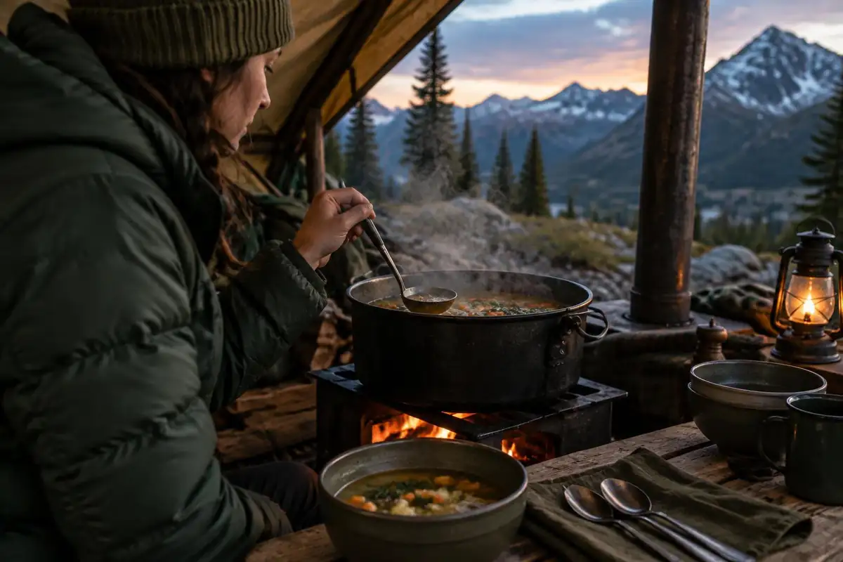
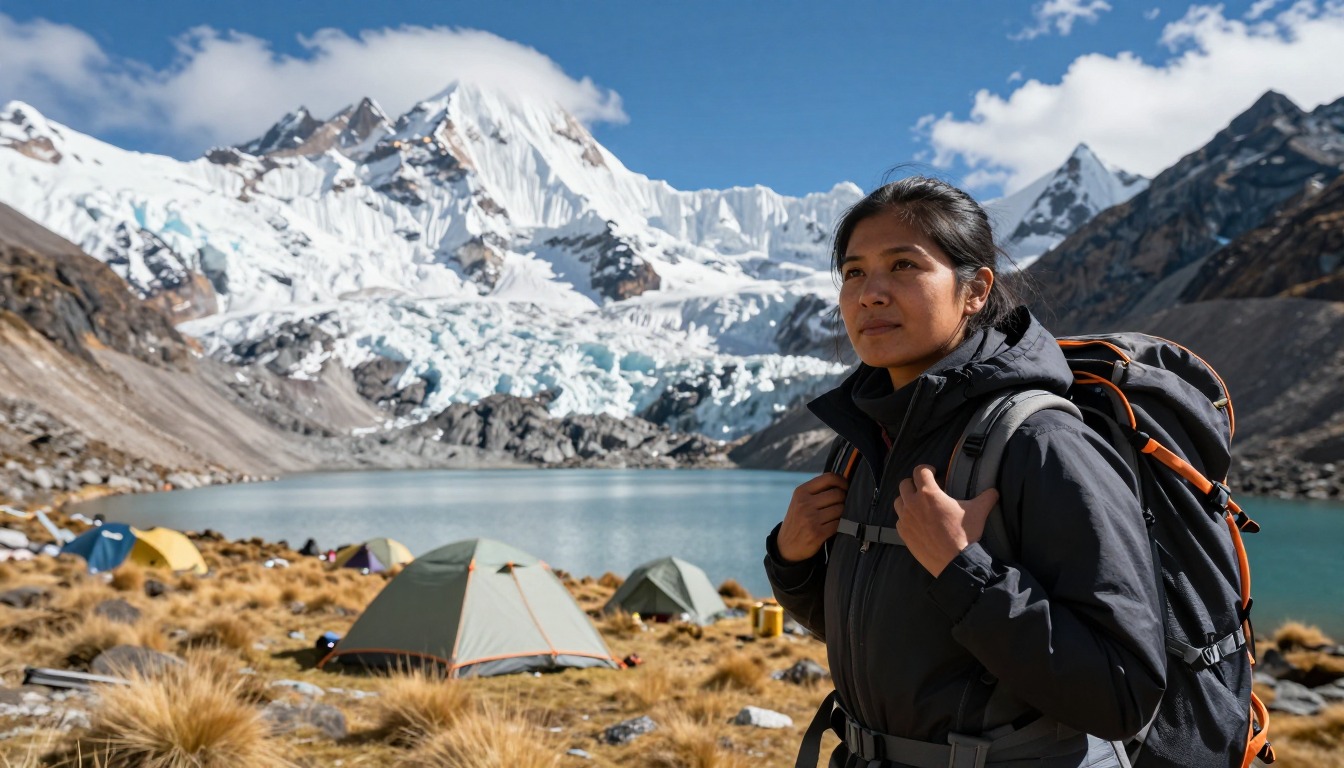
There are no huts, lodges or teahouses on the Huayhuash loop. Every night you sleep in a tent at a basic campsite. The page says these are run by the local communities the trail passes through. That means the trek is closer to a self-contained camping trip than a walk between hotels.
Because there is no roof waiting for you, your gear does the work a building normally does. The tent is your walls, the sleeping bag and pad are your bed and heating, and the stove is your kitchen. If any one of them fails at a high, cold camp, there is nowhere to go to fix it.
That is why most people hire local help with donkeys to carry tents and food, and why time spent getting used to the altitude in Huaraz comes first. Think of it as building a small portable house that has to survive freezing nights. The sections below cover how to think about the sleeping system, the stove, the water, and the weight you actually carry.
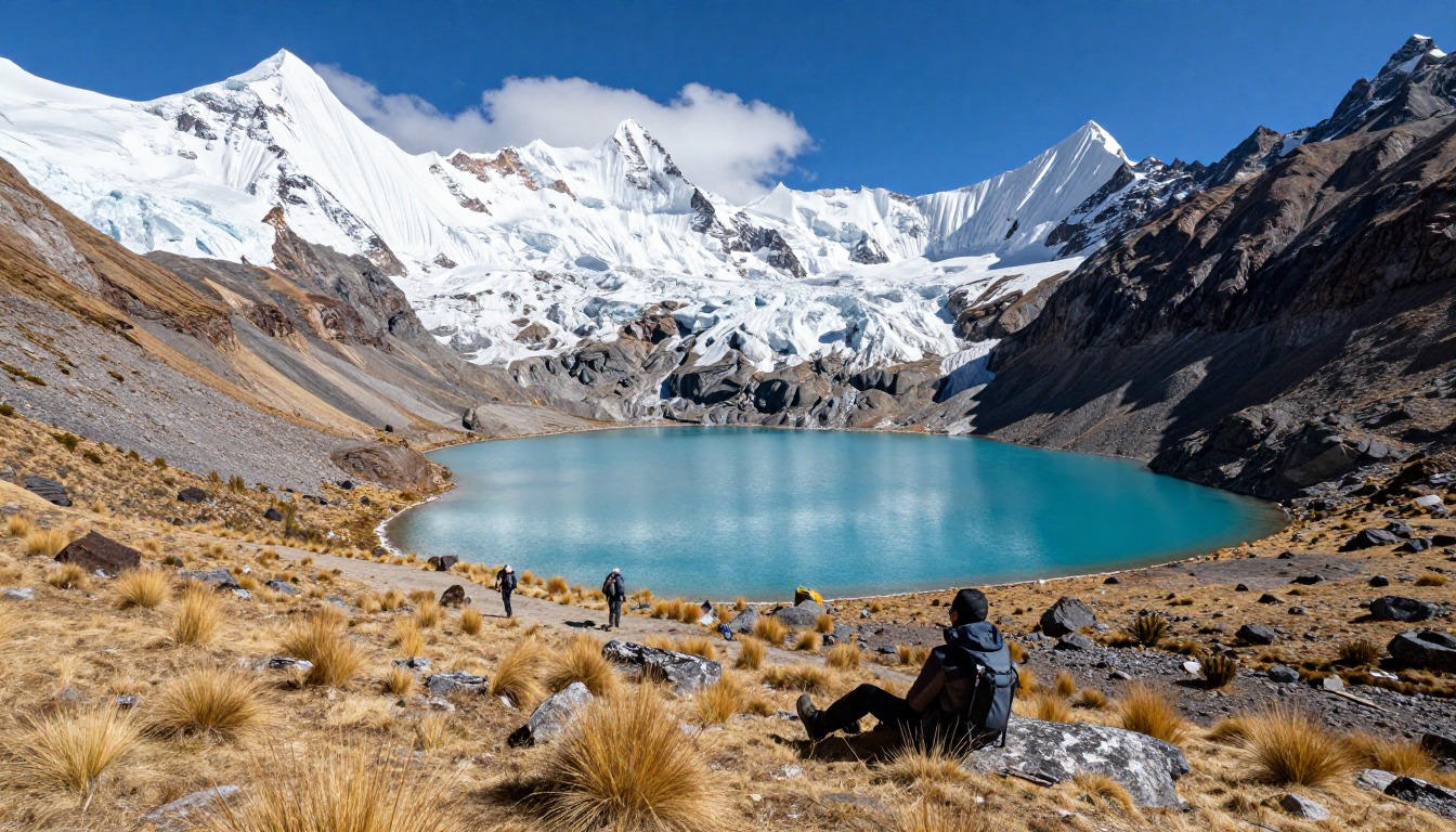
The Cordillera Huayhuash Circuit is a remote, multi-day loop through Peru's Andes, crossing a series of passes near 5,000 meters among glaciated peaks. There's no teahouse network like Nepal's — this is a camping-only trek, with basic sites run by the local communities the trail passes through. So the real planning question isn't which lodge to book, but how to organize a self-sufficient camp each night, usually with hired help to carry it.
Why hike here
What makes the Huayhuash stand out is how consistently high and wild it stays — for nearly the whole circuit you're walking beneath glaciated peaks and along exposed ridgelines, rarely dropping into anything that feels like a lowland valley. Camp is pitched fresh each evening on a different community's land, often with a different wall of ice and rock framing the tent door than the night before. Days build toward pass crossings close to 5,000 meters, where the effort of the climb is paid back in views across the whole range at once. Because there's no fixed lodging pulling you toward a particular stop, the rhythm of the trek is set by the passes and by the arrieros managing the animals, not by a booking.
Getting there
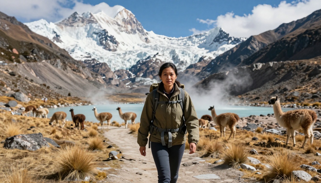
Most international travelers reach Peru through Lima, the country's main air gateway, then continue on to Huaraz — the usual staging point for treks in this part of the Andes — by a long overnight bus, the standard way most people make that leg of the trip. Huaraz is also where you acclimatize, with easier day hikes recommended before heading into the mountains. From there, the final stretch to the trailhead is a road transfer, typically arranged as part of your trek so you don't have to sort local transport into a remote trailhead yourself.
Where to stay
The realistic options, closest-to-the-trail first. Book through the official links — we don't list prices or availability because they change all the time.
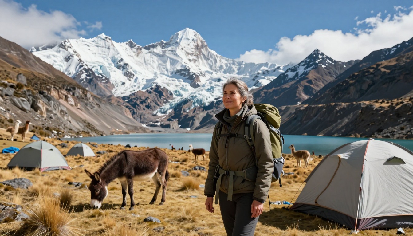
For example: Basic campsites run by the local communities the circuit passes through (small fees collected en route)
Every trekker — the Huayhuash is camping only, with no lodges.
Most go with an operator and arrieros (donkey handlers) who carry gear and set camp.
Community campsites (via operator/arrieros)For example: Hotels and hostels in Huaraz, the Cordillera Blanca hub
Everyone — Huaraz is the staging and acclimatization base.
Acclimatize in Huaraz and on day hikes before the circuit.
Nearby-city lodging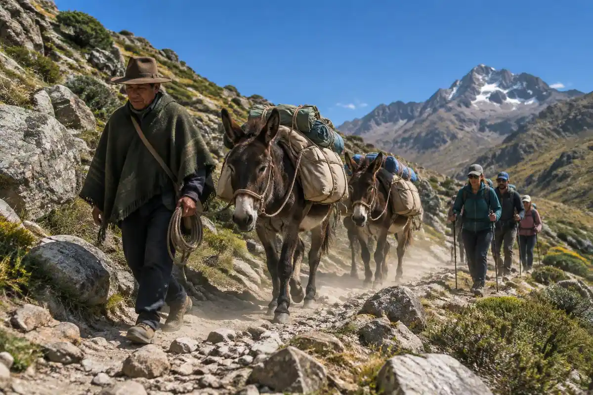
Permits & rules
Entry and camping fees are collected by the local communities the route crosses; confirm current fees and rules locally or with an operator. This is a remote, very high, self-sufficient camping circuit — acclimatize thoroughly in Huaraz first and be ready for cold and altitude.
Gear you'll want for this trip
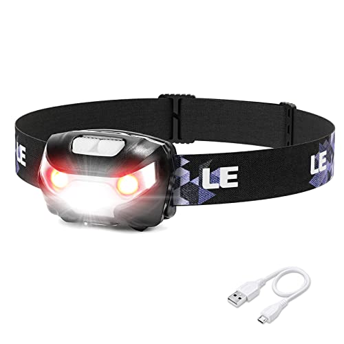
Matched to the terrain and conditions here. Real products — check current price on Amazon.


Altitude decides how you sleep
The CDC's guidance is that any unacclimatized person sleeping at 8,000 feet or higher is at risk of altitude illness, that fitness and training do not protect against it, and that above about 9,850 feet sleeping altitude should rise no more than about 1,600 feet per day with an extra acclimatization day for each 3,300 feet.1 The page describes passes near 5,000 meters, which is well above those thresholds. On a camping loop you often choose where each night's camp falls only in advance, so weigh the itinerary against the CDC guideline before you book.
The rule for problems is simple and non-negotiable: never go higher to sleep while having altitude-illness symptoms, however mild, and descent of 1,000 feet or more improves acute mountain sickness quickly.1 The page's advice to be ready to descend if anyone shows symptoms fits that guidance. On a remote loop descent may not be quick, so agree on a plan with your group and guide before the first camp.
Camp systems for cold, remote nights
Sleeping warm is the priority. Big Agnes suggests an R-value of 5 or higher for sleeping on snow or frozen ground, and 4 to 4.8 for spring through fall because shoulder seasons still bring cold nights.3 NEMO adds that a bag's extreme rating marks serious risk of death from hypothermia within hours and is not a target, so choose by comfort rating.4 Cold also affects fuel. MSR notes that isobutane has a sea-level boiling point of 11 degrees Fahrenheit, so it vaporizes poorly in cold, while propane boils at minus 44.5 Liquid fuel stoves generally perform best in the cold, pressure-regulated canister stoves do much better than unregulated ones, and canister fuel is not available everywhere while liquid fuel is safer for remote international travel.2
Water is a separate decision. The CDC says boiling is the best way to kill germs and that boiling time rises to 3 minutes above 6,500 feet, and that most portable filters remove parasites but not viruses or bacteria.6 Its Yellow Book notes that even at about 16,000 feet, boiling water at about 182 degrees Fahrenheit is still hot enough to inactivate intestinal pathogens.7 More boiling means more fuel, which is one more reason to talk through the stove and fuel plan with your operator.
Weight, weather and what to confirm with the communities
The page says the Huayhuash is usually done with donkey handlers who carry tents and food, and that going fully self-supported is a serious undertaking. That is consistent with the physics of load. One laboratory study found that walking energy use rose roughly linearly with backpack load, by about 7.6 watts per extra kilogram.8 Deuter states that people can carry a maximum of 20 to 25% of their own body weight.9 Multi-day food for a loop with no resupply pushes past that quickly at the pass crossings, where every extra kilogram costs more.
Lightning is a real risk on exposed passes. The National Weather Service says a tent offers no protection from lightning, that mountain thunderstorms often build in the early afternoon, and that hikers should be off exposed terrain by noon where possible.10 Plan pass crossings early and camp low when storms are likely. Two statements on the page, that the communities collect small fees and that no single permit exists, are not confirmed by a government source we could verify, so ask your operator and the community contacts about current fees, camping rules and any closures before you go.
Common questions
Are there any lodges or teahouses on the Huayhuash Circuit?
No — this is a camping-only trek. There's no network of huts or teahouses like you'd find in Nepal or the Alps; instead, you pitch camp each night at basic sites run by the local communities the route passes through, who collect a small fee for the use of their land.
Do I need a guide, or can I carry all my own gear?
Most people trek the Huayhuash Circuit with an operator who provides arrieros — donkey handlers who carry tents, food, and cooking gear between campsites. Given the remoteness, elevation, and multiple high passes, going fully self-supported without local support and good acclimatization is a serious undertaking best left to very experienced high-altitude trekkers.
When's the best time to hike the Huayhuash, and how should I prepare for the altitude?
The dry season, roughly May through September, is the best window, with more stable weather for the high passes. Because much of the route sits near or above 5,000 meters, spend a few days acclimatizing in Huaraz first, including some easier day hikes, and be ready to descend if anyone shows signs of altitude sickness.
Complete gearsets for this trip
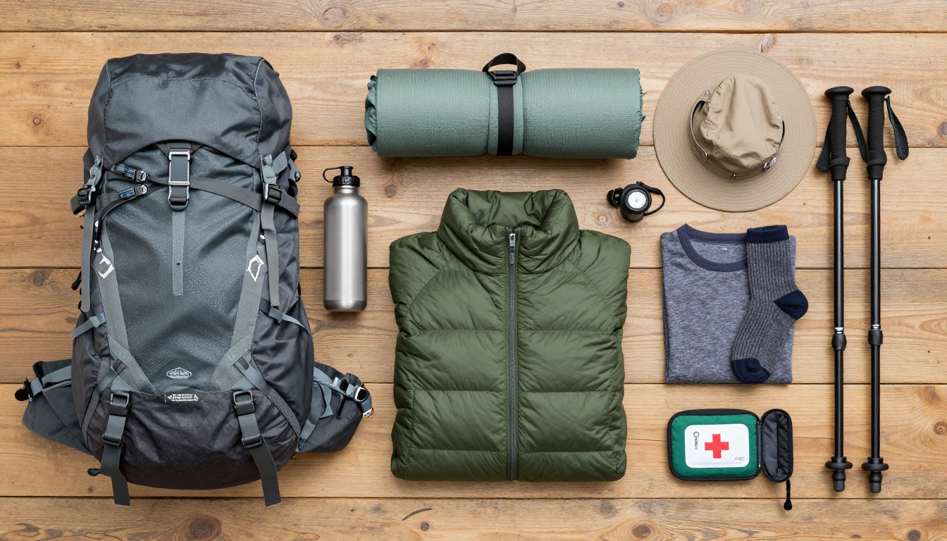
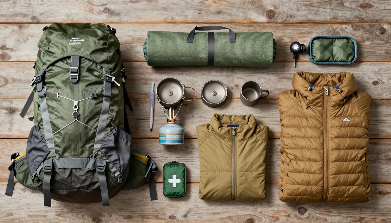
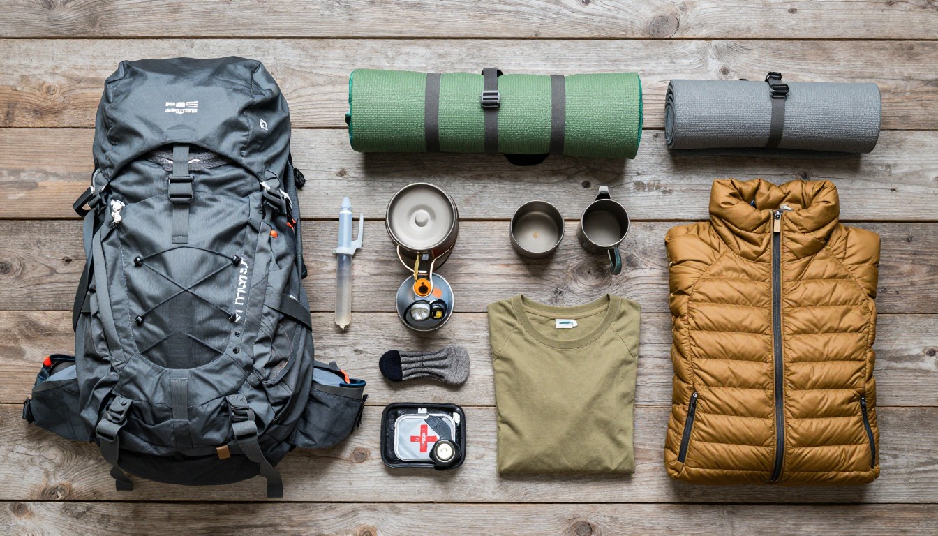
Full curated kits built for exactly this kind of hike — what to bring, why, and links to similar gear.
Lodging details are compiled from official parks, refuge associations and reservation systems and can change without notice. We publish no prices, availability or ratings — always confirm current information on the official site before booking or setting out. Product links and the accommodation map are affiliate links: we may earn a commission at no extra cost to you; product prices and availability are shown on Amazon, and accommodation prices on the booking site. See our affiliate disclosure.