
Affiliate disclosure: this page contains affiliate links. Purchases made through them may earn us a commission at no extra cost to you. See our affiliate disclosure.
In plain English
The Huayhuash circuit is a loop of mountain passes. Each day you climb out of a valley, cross a pass in cold wind, then drop into the next valley to camp. There is very little flat walking, and you almost never get down to low ground where you could rest and recover from the altitude.
That is why the circuit is hard even for strong hikers. Being fit does not stop altitude from hurting you. Sleeping higher and higher, day after day, is what makes the difference, and building in rest days helps.
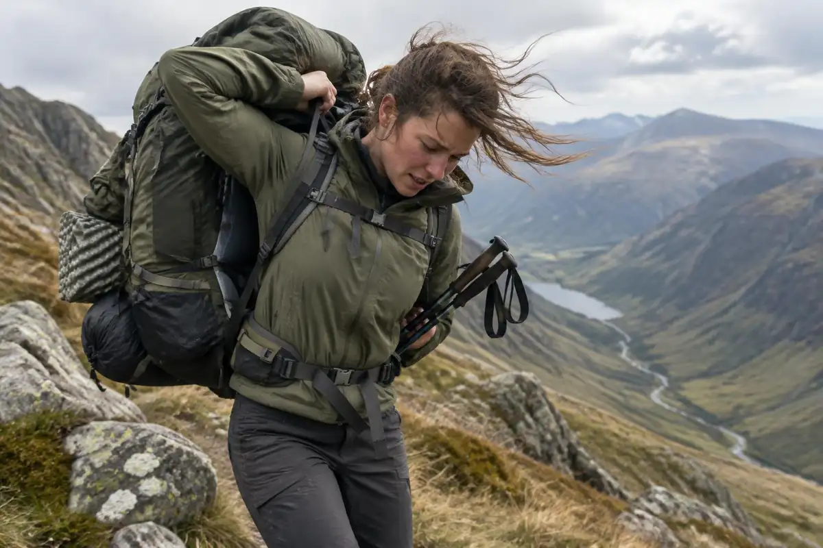
Most groups use pack animals to carry tents and food, so you carry a daypack. Because the weather can go from calm to freezing wind in a few hours, that daypack should always hold a warm hat, gloves and a windproof shell. Start early, cross the pass before the afternoon weather arrives, and keep the group together.
What the hike is like
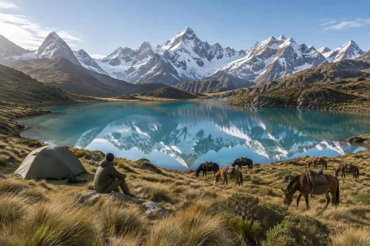
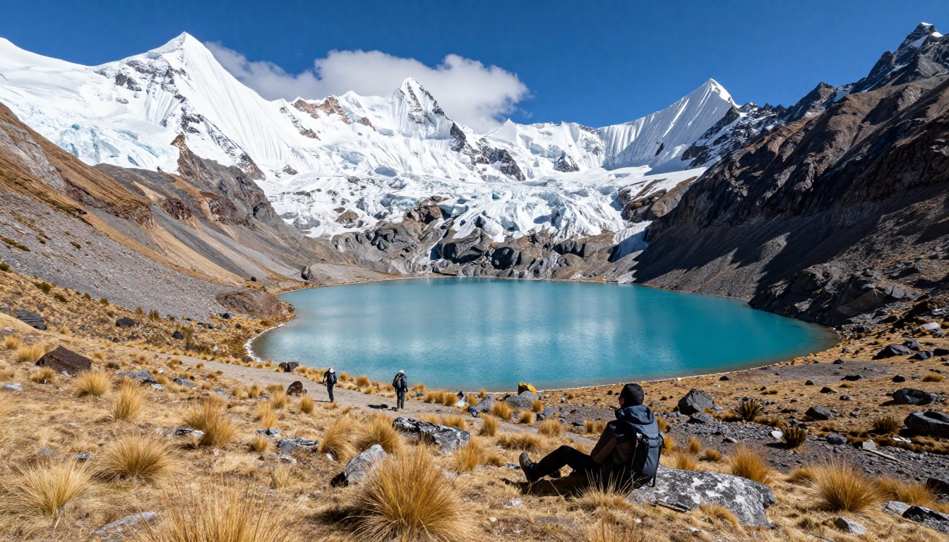
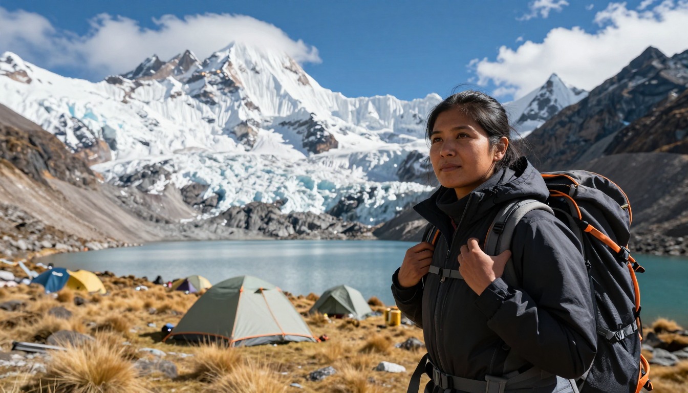
The Huayhuash is a rhythm of passes. Days follow a similar shape: a climb out of a camp in a high valley, up grassy slopes that steepen into rocky switchbacks and loose scree near the top, a cold windy few minutes on the pass itself with the whole range laid out, then a descent into the next valley to camp. There's very little level walking. Underfoot you get everything from boggy valley flats and animal tracks braided across pasture to bare moraine and snowmelt stream crossings. Because the circuit rarely drops to anything you'd call low ground, there's no relief from altitude built into the route — you simply move between high places, often with glaciated walls directly above the trail and turquoise lagoons sitting in the basins below.
How to plan the itinerary
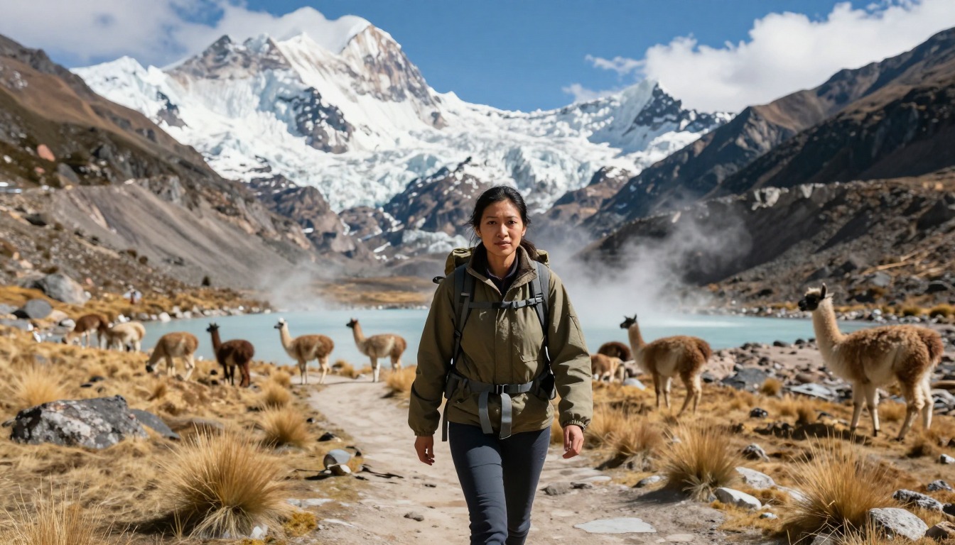
This is a camping circuit, and operators run it at several lengths — the fuller loop over a longer stretch of days, or shortened versions that cut across and skip some of the outer valleys. The longer version is the one that gives the circuit its reputation. Days are generally structured around crossing one pass, with camps pitched in valleys on community land, and most groups cross the pass in the morning while the weather holds. Arrieros and pack animals move the heavy gear between camps, so hikers typically carry only a daypack. Many itineraries fold in an optional rest or side-trip day at a scenic camp, and some include a soak at a hot spring along the route as a mid-trek breather.
Plan this trip in 5 steps
-
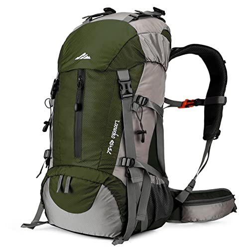
Pick the right pack
Match a pack to your trip, fit and priorities.
-
Book a place to stay
Campgrounds, huts and lodges near Cordillera Huayhuash Circuit.
-
Plan food & water
Calories, food weight and water for your days on trail.
Trail-specific tips
Acclimatize properly in Huaraz first, with a couple of day hikes at height, and treat that as non-negotiable rather than optional — this circuit starts high and stays high. Cross passes early; afternoon weather in the range turns quickly and the tops are no place to be caught out. Bring a warmer sleeping bag than the daytime temperatures suggest, because valley camps get genuinely cold after dark. Carry small local cash for the community fees collected along the route. Broader altitude and cold-weather advice sits on /trail-smarts/.
Permits & rules
Entry and camping fees are collected by the local communities the route crosses; confirm current fees and rules locally or with an operator. This is a remote, very high, self-sufficient camping circuit — acclimatize thoroughly in Huaraz first and be ready for cold and altitude.
Gear suited to this hike
Matched to the terrain and conditions here. Real products — check current price on Amazon.


An altitude problem with no easy exit
The page notes there is no relief from altitude built into the route because the circuit moves between high places. That makes the standard advice more important. The CDC says any unacclimatized person sleeping at 8,000 feet or higher is at risk and that fitness does not protect against altitude illness.1 Above about 9,850 feet it advises no more than about 1,600 feet of gain in sleeping altitude per day, with an extra acclimatization day for each 3,300 feet.1 The 2025 review of Wilderness Medical Society guidance puts increased risk above about 2,500 meters.4
The practical consequence is that the extra rest or side-trip day some itineraries include is not a luxury. It is where the CDC's rest-day rule shows up in a schedule. Because descending is the reliable way to feel better and the CDC says to descend 1,000 feet or more when symptoms appear, ask any operator how quickly an ill hiker can actually be taken down, and by what route.1
Remote by design: rescue time, weather timing and the daypack
The Park Service says search and rescue can take hours or days depending on weather and resources, and that a whistle helps rescuers find you and saves energy compared with yelling.2 It also advises against relying on a cell phone for emergencies and suggests considering a personal locator beacon.5 On a circuit with pack animals moving between camps, your gear can be hours ahead of you, so your daypack has to work as a self-contained kit. The National Park Service ten essentials list is a sensible checklist for what goes in it.6
The page says groups cross the pass in the morning while the weather holds. The National Weather Service says thunderstorms in mountains often build in the early afternoon, so hike early and be off exposed terrain by noon.3 That guidance is written for US mountains, but the logic of leaving early and avoiding exposed ridges applies to any high pass with afternoon cloud.
Camps on community land, water and waste
The page says camps sit on community land. That makes low-impact habits a matter of respect as well as ecology. The Park Service's Leave No Trace guidance says to dig catholes 6 to 8 inches deep at least 200 feet from water, camp and trails, and to pack out toilet paper and hygiene products.7 Those figures are United States guidance; follow any local rule your operator states.
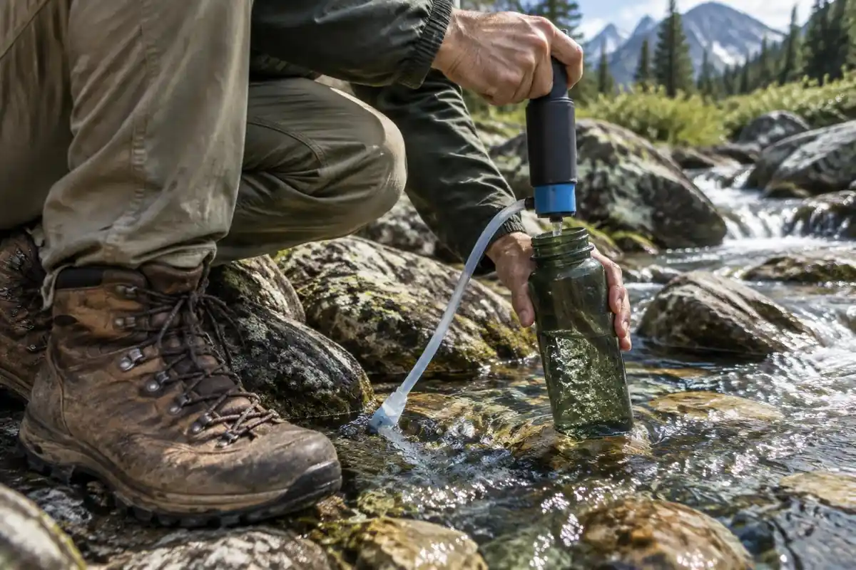
Water needs care as well. The CDC says water from a clear mountain stream can still contain germs and is generally not safe untreated, and that most portable filters remove parasites but not viruses or bacteria.8 Rely on your operator's briefing and the local communities for access fees and camp rules.
Common questions
How fit do I need to be for the Huayhuash Circuit?
Very. This is one of the more demanding trekking circuits anywhere — consecutive days of crossing high passes, with no easy exit once you're committed. Hikers who've done multi-day treks elsewhere and have spent time above altitude cope best. It isn't technical, but the sustained elevation and the number of climbing days make it far harder than distance alone suggests.
Do I carry my own pack?
Usually not. Most groups travel with arrieros and pack animals that move tents, food and duffels between camps, leaving you with a daypack for water, layers and camera gear. Going fully self-supported is possible but means carrying camping kit and several days of food over pass after pass at extreme altitude — a serious undertaking.
Are there any lodges or huts along the way?
No. Unlike Nepal or the Alps, there's no teahouse or refuge network here. You camp every night at basic sites on land belonging to the communities the trail crosses, who collect a fee for access. That's a large part of why the circuit stays quiet and feels genuinely remote compared with Peru's busier trekking routes.
What's the weather like on the passes?
Changeable and cold, even in the dry season. Mornings are often clear and still, with cloud, wind, and sometimes sleet or snow building through the afternoon. That pattern is exactly why groups aim to be over the day's pass before midday. Wind shells, warm gloves and a hat belong in your daypack every single day.
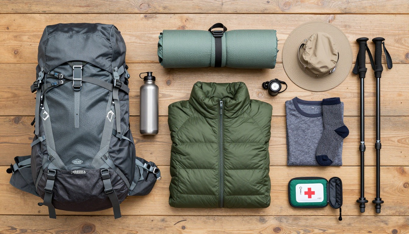
Complete gearsets for this trip
Full curated kits built for exactly this kind of hike.

Trail conditions, permits and access rules change without notice — always confirm current information on the official source above before you go. Some facts on this page are still pending owner verification and are marked accordingly. Product links and the accommodation map are affiliate links: we may earn a commission at no extra cost to you; product prices and availability are shown on Amazon, and accommodation prices on the booking site. See our affiliate disclosure.