
Best Time to Hike Annapurna Circuit — Thorong La
The best time to hike the Annapurna Circuit is October to November or March to April, according to the official season guidance. Those windows sit outside the heavy monsoon rains of June to September, and November is the driest month in the modeled data. Check current conditions on the pass before you commit to dates.
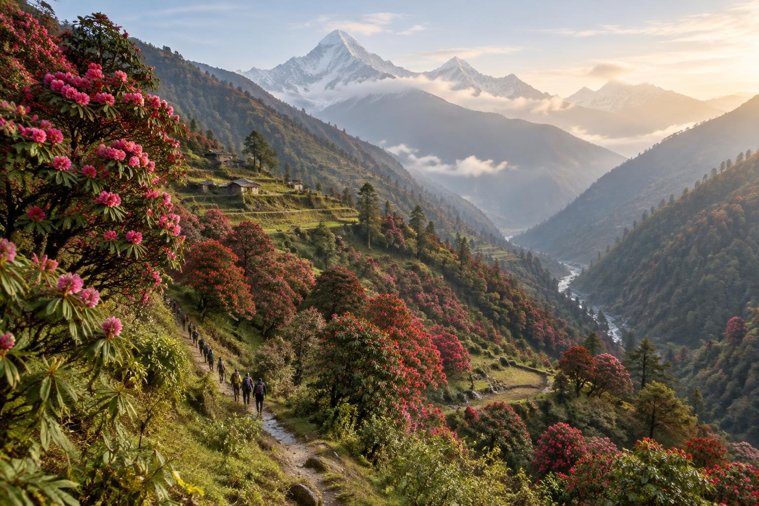
Month-by-month climate for Annapurna Circuit — Thorong La
| Month | Relative warmth | Rain | Daylight |
|---|---|---|---|
| Jan | Coldest | 18 mm | 10.4 h |
| Feb | Coldest | 27 mm | 11 h |
| Mar | Cool | 42 mm | 11.8 h |
| Apr | Mild | 59 mm | 12.7 h |
| May | Warm | 148 mm | 13.4 h |
| Jun | Warmest | 286 mm | 13.8 h |
| Jul | Warmest | 443 mm | 13.7 h |
| Aug | Warmest | 387 mm | 13 h |
| Sep | Warmest | 259 mm | 12.2 h |
| Oct | Mild | 103 mm | 11.3 h |
| Nov | Cool | 3 mm | 10.5 h |
| Dec | Coldest | 9 mm | 10.2 h |
Modelled regional averages for 2010–2023 (rainfall) and calculated daylight hours; they describe the wider area, not a reading taken on the trail. “Relative warmth” compares each month with the warmest and coldest months of this place’s own year. It is not a temperature, and the high parts of a route are colder than the region around them.
The monthly numbers show a sharp monsoon peak. July is the wettest month at about 443 mm, with August (387 mm), June (286 mm) and September (259 mm) also very wet. November is the driest at roughly 3 mm, followed by December (9 mm) and January (18 mm). Daylight swings from about 10.2 hours in December to 13.8 hours in June. Relative to this place's own year, December through February are the coldest months, while June through September are the warmest. These are modeled regional averages, not trail measurements.
Annapurna Circuit — Thorong La season by season
Spring · March to April
March is relatively cool and April relatively mild for this place, with modeled rain of about 42 mm and 59 mm and daylight growing from 11.8 to 12.7 hours. The official season guidance names this as one of two preferred windows. Rain begins to climb toward May, so the later weeks are typically less dry than the earlier ones. Confirm conditions on the pass with the managing authority.
Pre-monsoon and monsoon · May to September
Rain rises from about 148 mm in May to a peak of 443 mm in July, then stays high through September at about 259 mm. These are the warmest months relative to the rest of the year and have the longest daylight, up to roughly 13.8 hours in June. The official guidance does not list this period as a preferred window, and heavy rain typically makes trekking wetter and more demanding.
Autumn · October to November
This is the second window in the official season guidance. Rain falls from about 103 mm in October to roughly 3 mm in November, the driest month in the data. Warmth is mild in October and cool in November relative to this place's year, and daylight shortens from 11.3 to 10.5 hours. Shorter days mean planning your pass day carefully and carrying a headlamp.
Winter · December to February
December to February are the coldest months relative to this place's own year, with very little modeled rain: about 9 mm in December, 18 mm in January and 27 mm in February. Daylight is at its shortest, around 10.2 to 11.0 hours. The official season guidance does not name these months as preferred, so check current conditions and any guidance from the managing authority or a licensed operator before planning a winter trip.
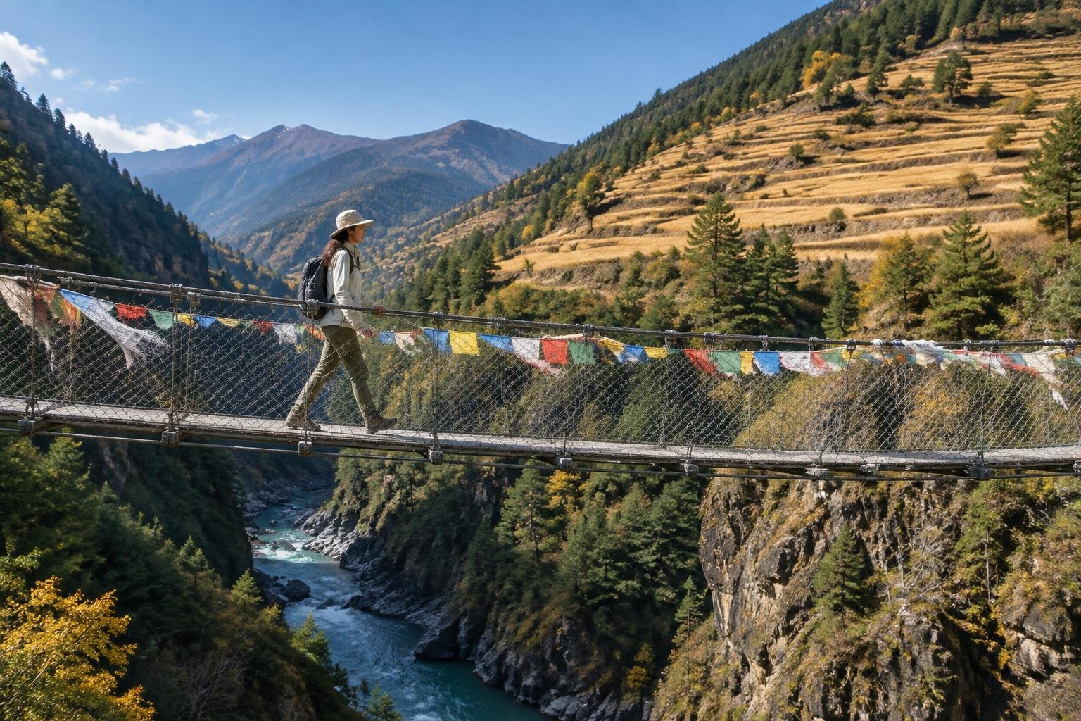
Official season guidance
ACAP / NTNC: October–November and March–April
You need the ACAP permit and trekker registration, and Nepal’s rules on guides for trekkers have been revised, so check the current requirement with the Nepal Tourism Board or a licensed operator. Crossing Thorong La means a very high pass — acclimatize properly, start the pass day before dawn, and know the signs of altitude sickness.
Check current dates on ntb.gov.npWhat to pack for the season
Let the season guide your layering. The cooler windows call for insulating layers, while wetter months make reliable rain protection and quick-drying clothing essential. Sun protection matters in every season at altitude. Shorter autumn and winter days make a headlamp worthwhile, since the pass day starts before dawn.
For layering, rain cover and weather planning, see hiking in rain, heat and cold.
Timing mistakes to avoid
The biggest mistake is choosing dates from the month alone. Modeled rainfall averages cannot tell you the condition of the pass in a particular week, so confirm with the managing authority or a licensed operator. Another is treating the shoulder weeks of a good window as equal to its core, since rain rises toward May. Finally, do not let a tight schedule shorten acclimatization, and make sure your ACAP permit and registration are arranged before you travel.

Common questions
Is the monsoon a bad time to hike the Annapurna Circuit?
The monsoon months bring the most modeled rain, peaking at about 443 mm in July, and they are not among the windows named in the official season guidance. Heavy rain typically makes trekking wetter and more demanding, so most trekkers choose the preferred windows. Check current conditions with the managing authority.
Which month is driest for the Annapurna Circuit?
November is the driest month in the modeled data at about 3 mm, followed by December at roughly 9 mm and January at about 18 mm. November also falls within the official October to November window. These are regional averages, so conditions on the pass can still vary.
How much daylight will I have on the trek?
Daylight ranges from about 10.2 hours in December to 13.8 hours in June. In the autumn window it is roughly 10.5 to 11.3 hours, and in spring about 11.8 to 12.7 hours. Shorter days make early starts and a headlamp useful, especially on pass day.
Can I trek the circuit in winter?
December to February are the coldest months relative to this place's own year and are not listed in the official season guidance. Modeled rainfall is low, but conditions on the high pass can change. Check with the managing authority or a licensed operator before planning, and confirm the current permit and guide requirements.
Sources
- ACAP / NTNC — ntb.gov.np: official season and permit guidance.
- NASA POWER (Prediction Of Worldwide Energy Resources): monthly temperature and rainfall averages, 2010–2023, from MERRA-2 reanalysis. Daylight hours are calculated from latitude.
Conditions, closures and permit rules change without notice — confirm current information with the managing authority before you go. See our editorial policy and affiliate disclosure.