
Best Time to Hike Roys Peak
The best time to hike Roys Peak is from spring to autumn, outside the roughly October to November lambing closure on the working farmland. Within that window, the long days of summer and the relatively warm months of December to March give the most daylight for the exposed climb.
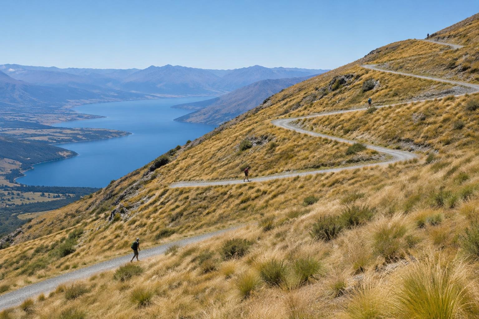
Month-by-month climate for Roys Peak
| Month | Relative warmth | Rain | Daylight |
|---|---|---|---|
| Jan | Warmest | 161 mm | 15 h |
| Feb | Warmest | 136 mm | 13.8 h |
| Mar | Warmest | 136 mm | 12.4 h |
| Apr | Warm | 145 mm | 10.7 h |
| May | Mild | 169 mm | 9.4 h |
| Jun | Coldest | 136 mm | 8.6 h |
| Jul | Coldest | 164 mm | 8.9 h |
| Aug | Coldest | 138 mm | 10.1 h |
| Sep | Cool | 157 mm | 11.7 h |
| Oct | Mild | 169 mm | 13.3 h |
| Nov | Warm | 140 mm | 14.7 h |
| Dec | Warmest | 156 mm | 15.4 h |
Modelled regional averages for 2010–2023 (rainfall) and calculated daylight hours; they describe the wider area, not a reading taken on the trail. “Relative warmth” compares each month with the warmest and coldest months of this place’s own year. It is not a temperature, and the high parts of a route are colder than the region around them.
Rainfall at Roys Peak is modelled as fairly even through the year, typically between about 136 and 169 mm a month. The wettest months on average are May and October at 169 mm, while February, March and June sit lowest at 136 mm. Daylight swings widely, from about 8.6 hours in June to 15.4 hours in December. Relative to this place's own year, December through March are the warmest months and June through August the coldest, with April, May, September and October falling between.
Roys Peak season by season
Summer · December to February
These are the warmest months of the year here and carry the longest days, with about 15 hours of daylight in December and January and 13.8 hours in February. That extra light is useful on a long, exposed climb with no shade or water. Rainfall is typically between 136 and 161 mm a month, so showers remain possible. The track is outside the lambing closure, but it crosses working farmland, so confirm current access with the managing authorities before you set out.
Autumn · March to May
March is still among the warmest months of the year, with roughly 12.4 hours of daylight and about 136 mm of rain on average. By April the warmth eases and daylight drops to around 10.7 hours, then to about 9.4 hours in May, which is also one of the wetter months at 169 mm. Autumn falls within the official season guidance of spring to autumn, so the track is generally open for walking, but shorter days mean you should plan your start and turnaround time carefully.
Winter · June to August
June to August are the coldest months of this place's year, and daylight is at its shortest, from about 8.6 hours in June to 10.1 hours in August. Rainfall stays around 136 to 164 mm a month. The official season guidance points to spring to autumn rather than winter, so this is the least recommended window. If you consider going, check conditions and access with the managing authorities, and leave plenty of margin for the limited daylight.
Spring · September to November
Spring is part of the official season guidance, but the track closes for lambing, roughly October to November, so check dates before planning. September is cool with about 11.7 hours of daylight and 157 mm of rain on average. October is mild with 13.3 hours of daylight, and November turns warm with about 14.7 hours. Because closure dates are the deciding factor, confirm them with the managing authorities rather than relying on the monthly averages alone.
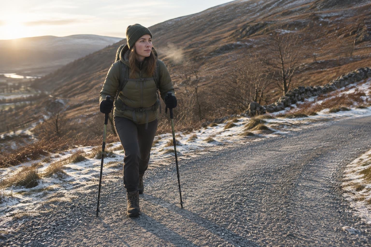
Official season guidance
Department of Conservation & landowners: Spring to autumn; the track closes for lambing (about Oct–Nov)
No permit is needed, but the track crosses working farmland and closes each year for the lambing season (roughly October to November) — check before you go. It is a relentless, exposed climb with no shade or water, so carry plenty.
Check current dates on doc.govt.nz (Roys Peak Track page)What to pack for the season
Season should drive what you carry. The climb has no shade or water, so bring ample water and sun protection in the warm months. Pack layers and waterproof cover for rainy spells and cooler days, and add a headlamp when daylight is short, especially from autumn into winter. Pack for changeable weather on an exposed ridge in any season.
For layering, rain cover and weather planning, see hiking in rain, heat and cold.
Timing mistakes to avoid
The biggest timing mistake is ignoring the lambing closure, which runs roughly October to November on working farmland, so check before you go. Another is picking a month from the averages alone and overlooking the official season guidance of spring to autumn. Starting late in the shorter-daylight months is a third, because this is a relentless, exposed climb with no shade or water. Always confirm current access and conditions with the managing authorities.
Common questions
When is the track closed at Roys Peak?
The track closes each year for the lambing season, roughly October to November, because it crosses working farmland. Exact dates can vary, so check with the managing authorities before you go rather than relying on a general window.
What is the warmest time to hike Roys Peak?
Relative to this place's own year, December through March are the warmest months, and they also have the most daylight, about 15 hours in December and January. Rain still falls on average, so carry layers and waterproof cover even in the warm season.
Is winter a good time to hike Roys Peak?
Winter is the least suitable window. June to August are the coldest months here, and daylight is only about 8.6 to 10.1 hours. The official season guidance also points to spring to autumn, so check conditions and access with the managing authorities.
How much daylight can I expect on the climb?
Daylight ranges from about 8.6 hours in June to about 15.4 hours in December. Because the climb is exposed with no shade or water, longer days in summer give more margin, while shorter autumn and winter days call for an earlier start and a headlamp.
Sources
- Department of Conservation & landowners — doc.govt.nz (Roys Peak Track page): official season and permit guidance.
- NASA POWER (Prediction Of Worldwide Energy Resources): monthly temperature and rainfall averages, 2010–2023, from MERRA-2 reanalysis. Daylight hours are calculated from latitude.
Conditions, closures and permit rules change without notice — confirm current information with the managing authority before you go. See our editorial policy and affiliate disclosure.