
Best Time to Hike Kalalau Trail — Nā Pali Coast
The best time to hike the Kalalau Trail is during the drier summer months, roughly May through September, when modeled rainfall is lowest. Flash floods remain a year-round risk, and the park is currently listed as closed for hurricane recovery, so confirm status with Hawaii State Parks first.
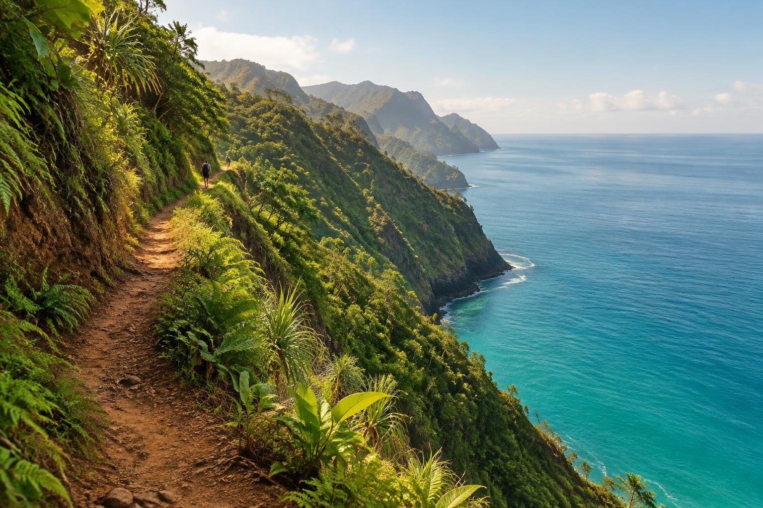
Month-by-month climate for Kalalau Trail — Nā Pali Coast
| Month | Rain | Daylight |
|---|---|---|
| Jan | 59 mm | 10.8 h |
| Feb | 93 mm | 11.3 h |
| Mar | 115 mm | 11.8 h |
| Apr | 57 mm | 12.5 h |
| May | 54 mm | 13.1 h |
| Jun | 40 mm | 13.3 h |
| Jul | 42 mm | 13.2 h |
| Aug | 45 mm | 12.8 h |
| Sep | 49 mm | 12.1 h |
| Oct | 66 mm | 11.5 h |
| Nov | 75 mm | 10.9 h |
| Dec | 109 mm | 10.7 h |
Modelled regional averages for 2010–2023 (rainfall) and calculated daylight hours; they describe the wider area, not a reading taken on the trail. Temperature changes little from month to month here, so we don’t chart it. Altitude, not season, drives how cold it feels on the route, so check the managing authority’s guidance for the section you plan to walk.
Modeled rainfall on this coast typically bottoms out in June and July at about 40 to 42 mm a month, then climbs through autumn. The wettest months are March at 115 mm, December at 109 mm and February at 93 mm. Daylight swings from about 10.7 hours in December to 13.3 hours in June, so summer days are roughly two and a half hours longer. Temperature barely changes by month here, so rain and daylight matter more than warmth when choosing dates.
Kalalau Trail — Nā Pali Coast season by season
Late spring · April to June
Rainfall typically drops sharply after March, from about 115 mm to 57 mm in April and 40 mm by June. Daylight grows from roughly 12.5 hours to more than 13 hours, which gives hikers more margin on a long coastal trail. This stretch fits the official season guidance favoring drier months. Flash flooding remains a year-round risk, so streams still deserve caution and a willingness to turn back.
Summer · July to September
These months sit in the drier part of the year, with modeled rainfall around 42 to 49 mm a month and daylight easing from about 13.2 hours in July to about 12.1 hours in September. The managing authority's guidance points to the drier summer months, so this is the usual planning window. Even in the dry season, flash floods are a year-round risk, so never cross a swollen river and check current conditions.
Autumn · October to November
Rainfall begins to build again, averaging about 66 mm in October and 75 mm in November, while daylight shrinks from roughly 11.5 to 10.9 hours. Shorter days mean less time to cover a long, exposed coastal route, and wetter weather raises the odds of swollen streams. It can still work for flexible hikers who watch conditions closely, but it is a step down from the drier months.
Winter · December to March
This is the wettest part of the year, with modeled rainfall of about 59 mm in January, 93 mm in February, 115 mm in March and 109 mm in December. Daylight is also at its shortest, near 10.7 to 11.8 hours. Streams can rise quickly, and the official guidance stresses that flash floods are a year-round risk. Most planners avoid these months unless conditions are clearly favorable.
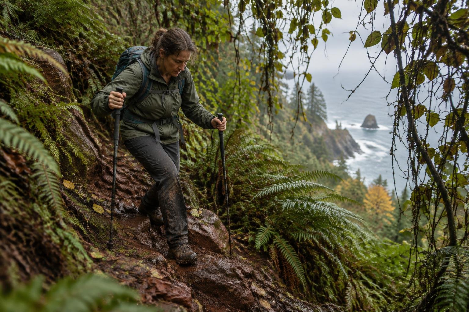
Official season guidance
Hawaii State Parks (DLNR): Drier summer months; flash floods are a year-round risk
As of September 28, 2026, Hawaii State Parks lists Nāpali Coast State Wilderness Park, Hāʻena State Park and all Kauaʻi state camping as closed for hurricane recovery — check Hawaii State Parks for current status before planning. When open, beyond the first two miles you must hold a Nā Pali Coast state camping permit, and reaching the trailhead requires a separate Hāʻena State Park entry reservation. Streams flash-flood fast — never cross a swollen river.
Check current dates on dlnr.hawaii.govWhat to pack for the season
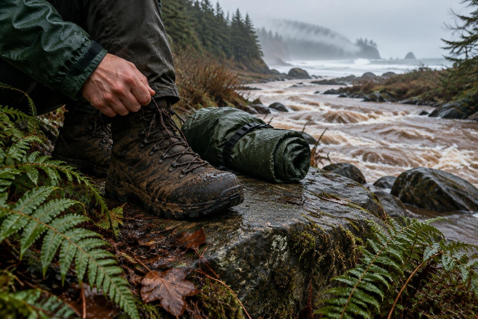
Season should drive your layers more than temperature does. Pack reliable rain protection and a way to keep sleeping gear and clothing dry, since showers and stream spray are possible in any month. Bring sun protection for exposed stretches, and carry a headlamp, especially in autumn and winter when daylight is under about eleven hours.
For layering, rain cover and weather planning, see hiking in rain, heat and cold.
Timing mistakes to avoid
One common mistake is choosing dates from a single month's rainfall figure and ignoring the official season guidance that flash floods are a year-round risk. Another is planning around the trail's dry window without first checking the current closure status, which Hawaii State Parks lists as hurricane recovery. Permits and the separate Hāʻena State Park entry reservation also shape which dates are realistic, so lock those down before committing to travel.
Common questions
What is the driest time of year on the Kalalau Trail?
Modeled regional rainfall is lowest in June and July, at roughly 40 to 42 mm a month. The managing authority's guidance also points to the drier summer months. These are regional averages rather than trail measurements, so conditions on any given day can still differ.
Is it a bad idea to hike the Kalalau Trail in winter?
Winter is typically the wettest stretch, with about 93 to 115 mm of modeled rain in February, March and December, and the shortest daylight. Streams can rise quickly, and flash floods are a year-round risk. Most hikers prefer the drier months and check current conditions first.
How much daylight can I expect on the trail?
Calculated daylight ranges from about 10.7 hours in December to about 13.3 hours in June. Summer gives noticeably more time for a long coastal route, while late autumn and winter days are short enough that a headlamp and an early start matter.
Can I hike the Kalalau Trail right now?
As of September 28, 2026, Hawaii State Parks lists Nāpali Coast State Wilderness Park, Hāʻena State Park and all Kauaʻi state camping as closed for hurricane recovery. Check Hawaii State Parks for current status before planning, since permits and reservations depend on it.
Sources
- Hawaii State Parks (DLNR) — dlnr.hawaii.gov: official season and permit guidance.
- NASA POWER (Prediction Of Worldwide Energy Resources): monthly temperature and rainfall averages, 2010–2023, from MERRA-2 reanalysis. Daylight hours are calculated from latitude.
Conditions, closures and permit rules change without notice — confirm current information with the managing authority before you go. See our editorial policy and affiliate disclosure.