
Best Time to Hike Harding Icefield Trail
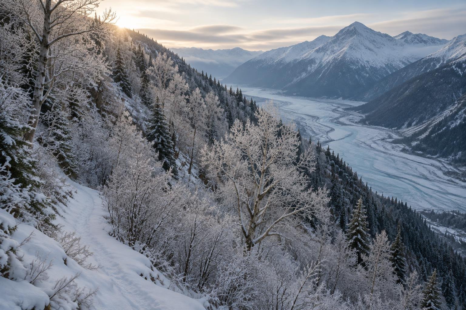
The best time to hike Harding Icefield Trail is late June to September, once the upper trail is snow-free. June and July are the warmest months of the year here and bring the longest daylight, up to about 18.5 hours, though the snow line decides how far you can climb.
Month-by-month climate for Harding Icefield Trail
| Month | Relative warmth | Rain | Daylight |
|---|---|---|---|
| Jan | Coldest | 249 mm | 6.3 h |
| Feb | Coldest | 198 mm | 8.8 h |
| Mar | Coldest | 165 mm | 11.3 h |
| Apr | Cool | 168 mm | 14.2 h |
| May | Mild | 179 mm | 16.9 h |
| Jun | Warmest | 132 mm | 18.5 h |
| Jul | Warmest | 164 mm | 17.8 h |
| Aug | Warmest | 245 mm | 15.4 h |
| Sep | Warm | 290 mm | 12.5 h |
| Oct | Mild | 279 mm | 9.7 h |
| Nov | Coldest | 239 mm | 7 h |
| Dec | Coldest | 268 mm | 5.5 h |
Modelled regional averages for 2010–2023 (rainfall) and calculated daylight hours; they describe the wider area, not a reading taken on the trail. “Relative warmth” compares each month with the warmest and coldest months of this place’s own year. It is not a temperature, and the high parts of a route are colder than the region around them.
The modelled averages show a wet place all year, with every month above 130 mm. June is the driest at 132 mm and July is next at 164 mm, while September is the wettest at 290 mm, followed by October at 279 mm. Daylight swings widely, from about 5.5 hours in December to 18.5 hours in June. June through August are the warmest months of this place's own year, and November through March are the coldest. These are regional averages, not trail measurements.
Harding Icefield Trail season by season
Winter · December to March
These are the coldest months of the year here, with daylight running from about 5.5 hours in December to 11.3 hours in March. Rainfall typically stays heavy, at roughly 165 to 268 mm a month. The official season guidance points to late June onward, so the upper trail is generally not the target in this window. If you consider going, short daylight and the managing authority's guidance should shape your plans.
Spring · April to early June
Spring warms from cool in April to mild in May, and daylight grows quickly from about 14.2 hours to 16.9 hours. Rainfall averages roughly 168 to 179 mm a month. The official guidance says to wait for a snow-free upper trail, and that is typically not the case this early. Treat these months as a time to watch conditions and check with the National Park Service before committing to the climb.
Summer · late June to August
This is the core window. June and July are among the driest months in the data at 132 and 164 mm, with up to about 18.5 hours of daylight, and the warmest weather of the year. August turns wetter at 245 mm, and daylight eases to about 15.4 hours. The upper trail typically clears of snow in this period, but confirm that with the managing authority, and carry bear spray as advised.
Early fall · September to November
September stays in the official window and is still warm by this place's standards, but it is the wettest month at 290 mm, and daylight drops to about 12.5 hours. October is mild with 279 mm of rain, and November is among the coldest months with only about 7 hours of daylight. Expect heavier rain and shorter days, and turn back if the upper trail is under snow.
Official season guidance
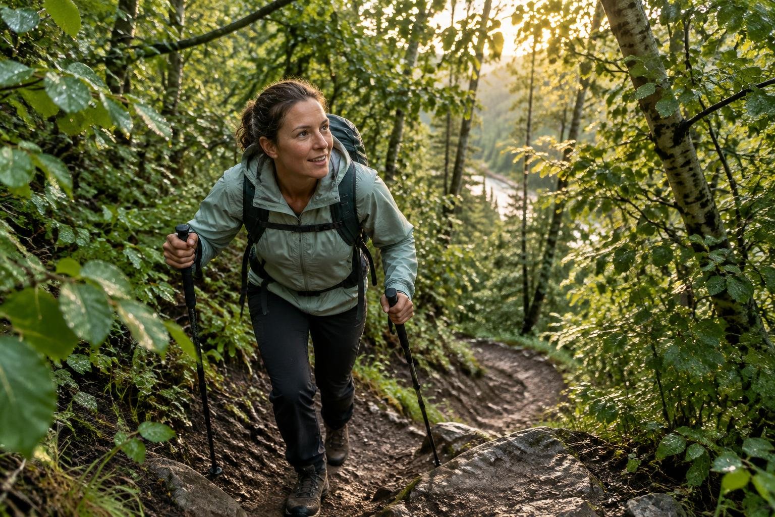
U.S. National Park Service: Late June to September, once the upper trail is snow-free
No permit is needed for the day hike. The trail climbs from rainforest to the edge of a vast icefield through active bear country — carry bear spray, and turn back if the upper trail is still under snow.
Check current dates on nps.gov/kefj (Harding Icefield Trail)What to pack for the season
Rain is a factor in every month, so pack a reliable waterproof shell, rain cover for your pack and layers you can adjust as you climb from rainforest toward the icefield. Sun protection matters during the long summer days. Carry bear spray as the rules advise. In shoulder months, shorter daylight means a headlamp is worth having.
For layering, rain cover and weather planning, see hiking in rain, heat and cold.
Timing mistakes to avoid
A common mistake is picking a date by weather alone and ignoring the official season guidance, which ties the hike to a snow-free upper trail. Another is assuming the driest month guarantees clear conditions, when the data are regional averages and every month is wet. Don't treat long June daylight as proof the snow has melted. Check with the National Park Service before you go, and be ready to turn back if the upper trail is still under snow.
Common questions
When is the upper Harding Icefield Trail usually snow-free?
The official season guidance says late June to September, once the upper trail is snow-free. Exact timing varies from year to year, so check with the National Park Service for current conditions before you go. If snow still covers the upper trail, the rules say to turn back.
Which month is driest for this hike?
In the modelled averages, June is the driest month at about 132 mm, followed by July at about 164 mm. These are regional averages rather than trail measurements, and every month here is fairly wet, so waterproof gear is sensible even in the driest part of the season.
How much daylight can I expect in summer?
Daylight peaks at about 18.5 hours in June and is still about 17.8 hours in July. By August it is about 15.4 hours, and by September about 12.5 hours. Long days give flexibility for a strenuous day hike, but plan your turnaround time rather than relying on the light.
Do I need a permit, and does that change by season?
The permit information says no permit is needed for the day hike. The trail passes through active bear country, so carry bear spray in any season. Conditions and rules can change, so confirm current details with the National Park Service before you set out.
Sources
- U.S. National Park Service — nps.gov/kefj (Harding Icefield Trail): official season and permit guidance.
- NASA POWER (Prediction Of Worldwide Energy Resources): monthly temperature and rainfall averages, 2010–2023, from MERRA-2 reanalysis. Daylight hours are calculated from latitude.
Conditions, closures and permit rules change without notice — confirm current information with the managing authority before you go. See our editorial policy and affiliate disclosure.