
Affiliate disclosure: this page contains affiliate links. Purchases made through them may earn us a commission at no extra cost to you. See our affiliate disclosure.
In plain English
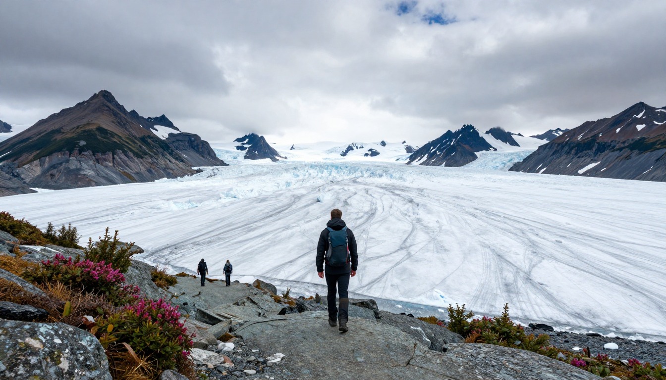
The Harding Icefield Trail climbs from the forest near Exit Glacier up to a viewpoint over a huge sheet of ice. Kenai Fjords National Park says nearly 40 glaciers flow out of that icefield.1 You walk up the same way you walk down, so every step you climb is a step you will also have to descend.
The hard part is not balance or rock climbing. It is the steady, almost nonstop uphill, followed by a long downhill that tires your knees. Near the top, snow can linger well into summer, and the weather can be much colder and windier than at the parking lot.
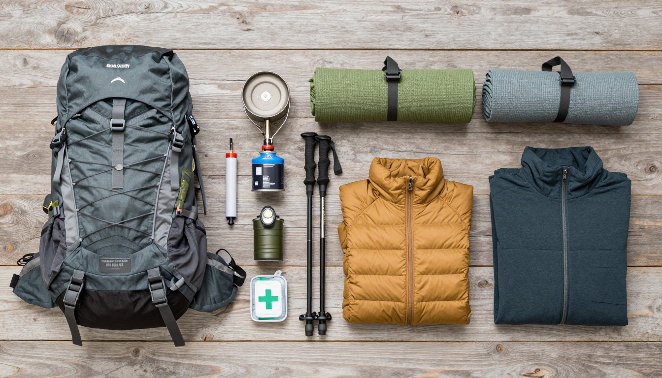
A good pack for this hike is a daypack that holds more than a usual day's kit: a warm layer, a wind or rain jacket, gloves, a hat, extra food and plenty of water. Think of it like packing for two different days, a mild one at the bottom and a cold one at the top.
What the hike is like
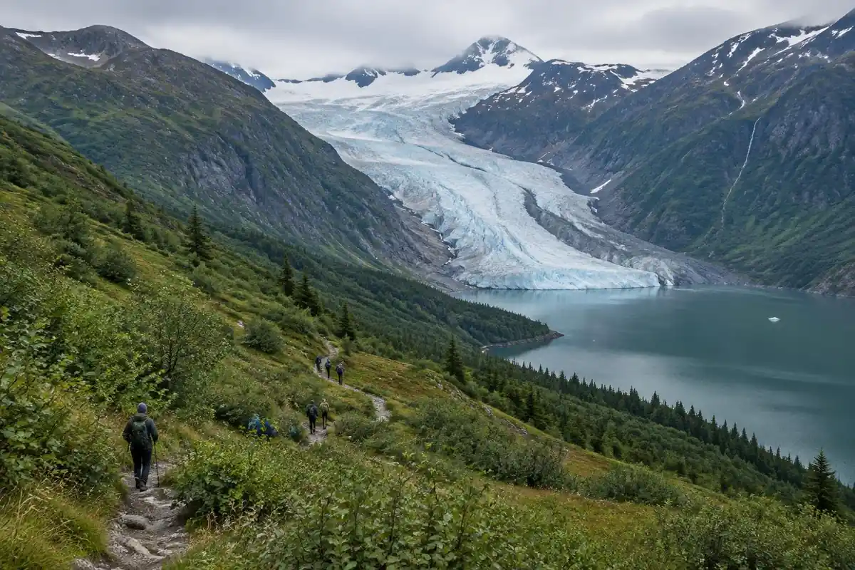
This is a climb that barely pauses. The route leaves the Exit Glacier valley floor, breaks away from the flat paved paths near the visitor area, and begins switchbacking up the valley wall through dense cottonwood and alder — close, green, and often dripping. The trees thin into open subalpine meadows where the glacier suddenly appears below you and the trail turns to packed dirt and heather. Higher still, the vegetation quits altogether and the path picks its way up bare rock ribs and lingering snow slopes, marked more by cairns and boot-pack than by obvious tread. The top is a viewpoint over the ice field itself, an unbroken white plain with rock peaks breaking through. It's an out-and-back, so the descent retraces every switchback with tired legs.
How to plan the itinerary
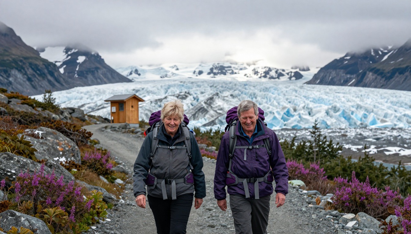
Almost everyone does this as a single round trip in one day, and it's best treated as a full day rather than a morning's outing — hikers who start late tend to run out of energy before they run out of trail. Many stay the night before at the small walk-in campground near the trailhead or drive out early from Seward, so the climb begins in the cool part of the day. The trail is conveniently tiered: the meadows partway up make an honest destination in their own right, and plenty of people turn around there when snow, weather, or time says so. If you're relying on a shuttle from town, pick your pickup time on the assumption the descent takes longer than you expect, not less.
Plan this trip in 5 steps
-
Pick the right pack
Match a pack to your trip, fit and priorities.
-
Plan food & water
Calories, food weight and water for your days on trail.
-
Estimate your time
Pre-filled with this trail’s distance and climb — adjust for your pace.
Trail-specific tips
Set a turnaround time before you start and keep it, because the upper slopes hold snow long after the lower trail is clear and the tread can disappear under it. Conditions at the top are routinely colder and far windier than at the trailhead — the ice field generates its own weather — so carry real layers even on a warm morning. Descending is where people get hurt: wet roots and polished rock on the lower switchbacks are slippery. This is active bear country the entire way; see /trail-smarts/ for how to hike and store food accordingly.
Permits & rules
No permit is needed for the day hike. The trail climbs from rainforest to the edge of a vast icefield through active bear country — carry bear spray, and turn back if the upper trail is still under snow.
Gear suited to this hike
Matched to the terrain and conditions here. Real products — check current price on Amazon.


How long it really takes, and when to turn around
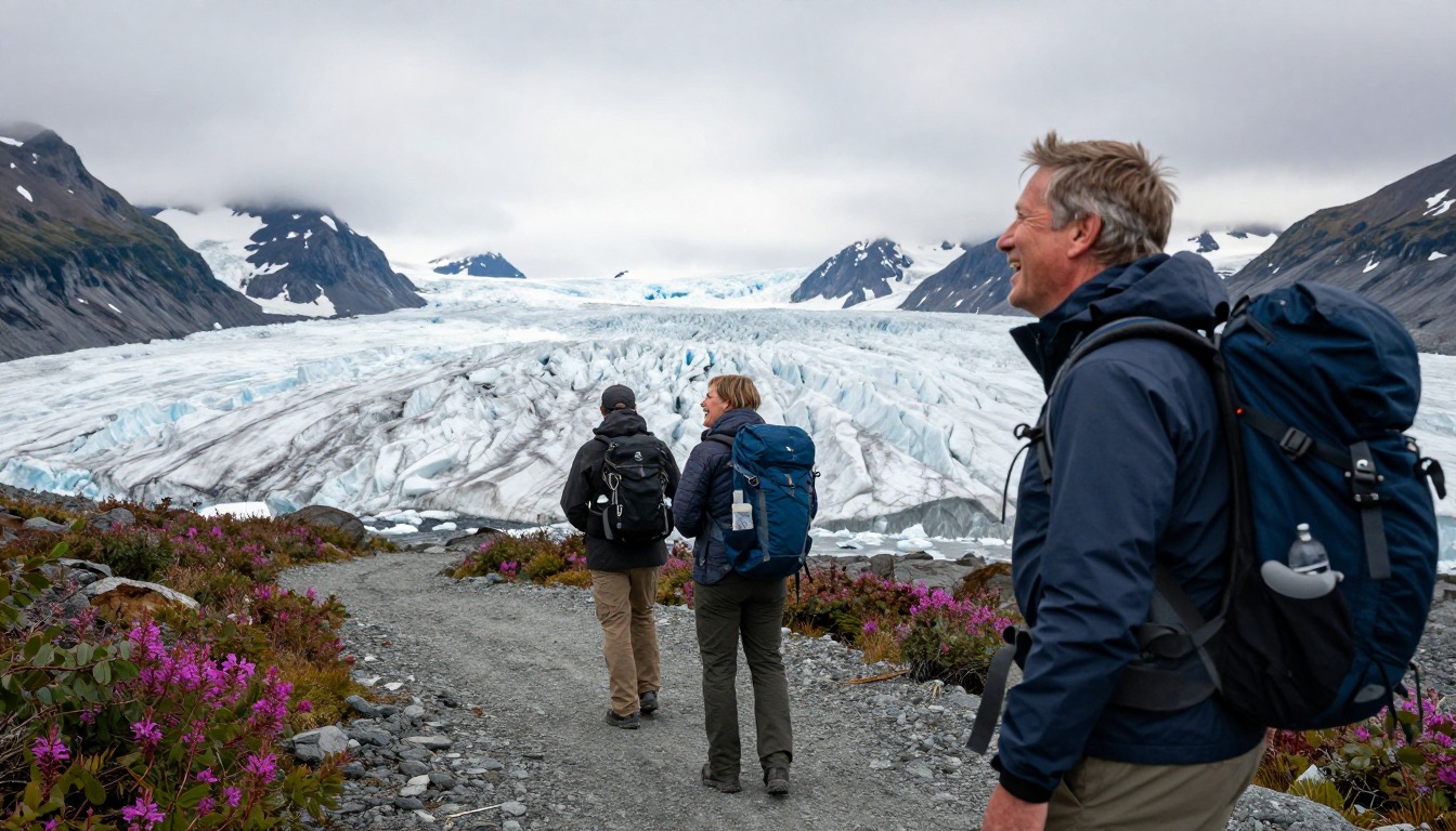
Naismith's rule, first published in 1892, allows one hour for every three miles plus one hour for every 2,000 ft of ascent.2 Applied to the page's figures of 8.2 miles round trip and roughly 3,000 ft of gain, that gives about 2.7 hours for distance plus 1.5 hours for climbing, or a little over four hours of moving time. Breaks, photos and snow patches come on top.
The rule is a starting point, not a promise. University of Utah researchers who analyzed GPS data from nearly 30,000 people found a slow walk on a flat mile took about 33 minutes but a 30-degree slope took about 97 minutes.2 NPS advises planning for uphill sections to take at least double the downhill time and setting a turnaround time you stick to.5 On this trail, the meadows partway up make a natural turnaround point if you reach your time before the top.
Snow, sun and cold: the upper trail is a different climate
The official park page is the place to check alerts, closures and Exit Glacier Road status before you set out,1 and the page itself says snow on the upper trail varies by year and month. If you meet firm or icy snow, Kahtoola describes its MICROspikes as designed for icy, packed snow in mountainous terrain;6 traction of that kind helps on packed slopes but is not a substitute for turning back on steep, hard snow.
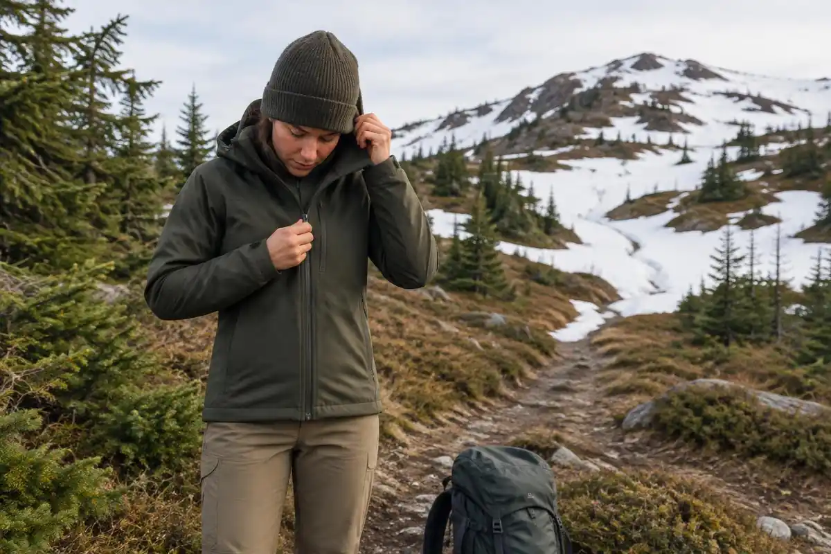
UV intensity rises about 6% for every kilometer above sea level, and even overcast skies let through about 31% of UV.3 Snow reflects UV and increases exposure,7 so sunglasses, sunscreen and a brimmed hat belong in the pack even when it feels cool.
Cold is the other trap. CDC notes hypothermia can develop in temperatures above 40°F if a person gets chilled by rain, sweat or cold water, and lists hikers among the people at higher risk.4 Sweating hard on the climb and then stopping in wind off the ice is exactly that pattern, so pull on an insulating layer before you cool down, not after.
If you carry bear spray
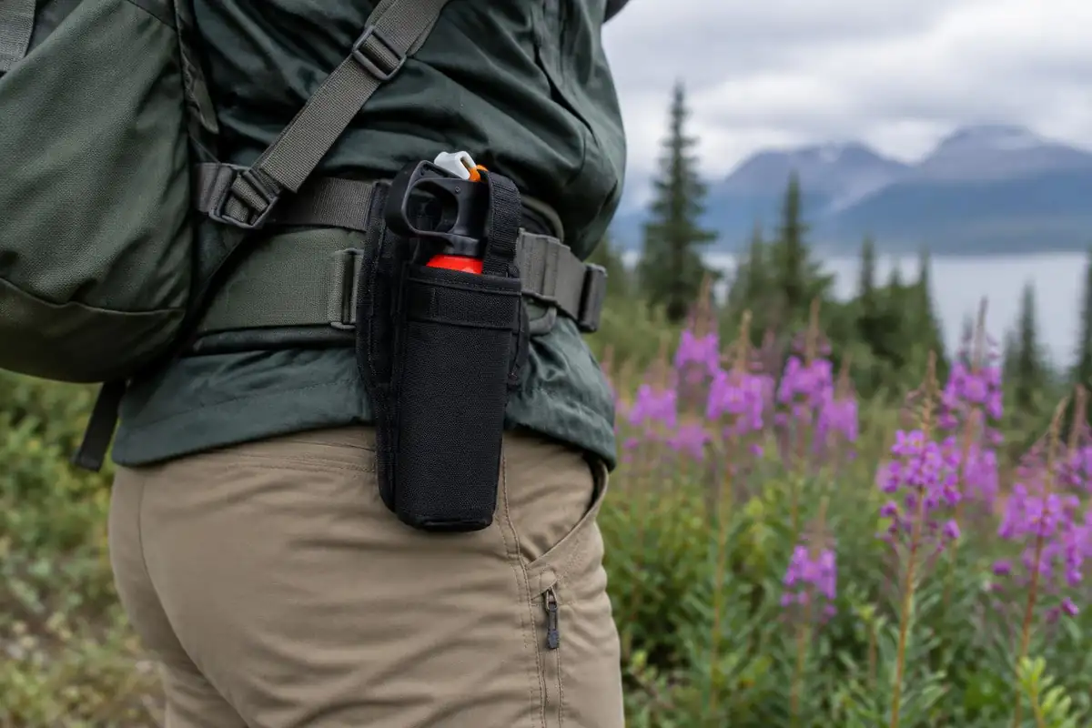
The page pairs this trail with a bear-country setup. If you carry spray, the NPS advises using it when a charging bear is within 60 feet, and notes wind, rain and cold reduce its range.8 The Interagency Grizzly Bear Committee says most bear sprays reach 20 to 30 feet.9 Those two figures describe different things, trigger distance and spray reach, so practice drawing from a hip-belt or chest holster rather than burying the can inside the pack. Talking calmly and hiking in groups help bears identify you early.10
Common questions
How hard is the Harding Icefield Trail, really?
The difficulty is sustained climbing rather than technical terrain. There's essentially no flat ground once the switchbacks start, and the grade keeps coming until the very top. Hikers with steady fitness manage it fine, but it's a serious day out — most people find the relentless uphill, and then the long jarring descent, harder than anything about the footing.
Can I turn around partway and still get a good hike?
Absolutely, and many do. The trail hands you a better view every few hundred feet of climbing, and the open meadows partway up already put you level with the glacier below. Turning there gives you the rainforest-to-alpine transition and the glacier perspective without committing to the full climb and snow travel higher up.
Do I need poles or traction devices?
Poles help a lot, mostly on the descent. Traction depends entirely on how much snow is still sitting on the upper trail, which varies year to year and month to month — early in the season it can be significant, later it may be irrelevant. Check current trail conditions with the park before you go rather than guessing from a trip report.
What should I pack for the weather at the top?
Plan for conditions unrelated to what you left at the car. Wind coming off the ice can be biting even in midsummer, and cloud can close in quickly. A wind layer, an insulating layer, gloves, and a hat are worth the pack weight, along with more food and water than a shorter hike would need.
Complete gearsets for this trip
Full curated kits built for exactly this kind of hike.

Trail conditions, permits and access rules change without notice — always confirm current information on the official source above before you go. Some facts on this page are still pending owner verification and are marked accordingly. Product links and the accommodation map are affiliate links: we may earn a commission at no extra cost to you; product prices and availability are shown on Amazon, and accommodation prices on the booking site. See our affiliate disclosure.