
Best Time to Hike Big Bend — South Rim & Chisos
The best time to hike Big Bend's South Rim and Chisos is October to April, which is the National Park Service's recommended season. Summer is dangerously hot, so the cooler months give you milder conditions, drier air and enough daylight for a long desert-mountain day.
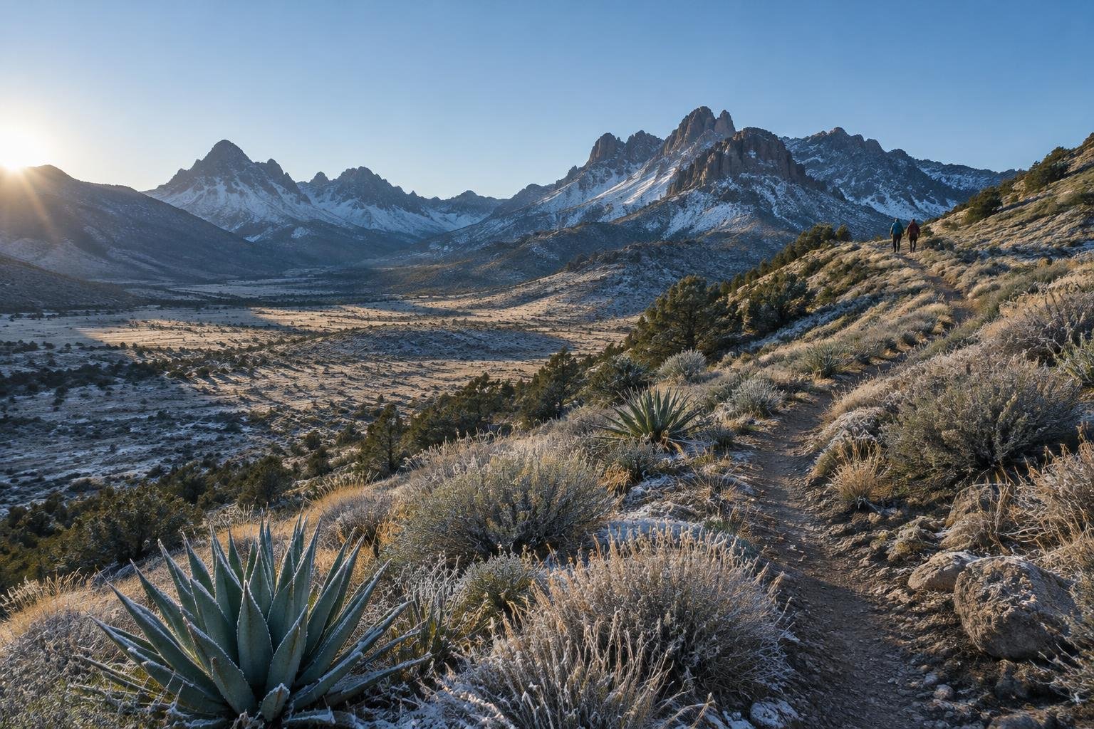
Month-by-month climate for Big Bend — South Rim & Chisos
| Month | Relative warmth | Rain | Daylight |
|---|---|---|---|
| Jan | Coldest | 13 mm | 10.3 h |
| Feb | Coldest | 10 mm | 11 h |
| Mar | Cool | 10 mm | 11.8 h |
| Apr | Mild | 11 mm | 12.7 h |
| May | Warm | 36 mm | 13.5 h |
| Jun | Warmest | 37 mm | 13.9 h |
| Jul | Warmest | 37 mm | 13.7 h |
| Aug | Warmest | 51 mm | 13.1 h |
| Sep | Warm | 46 mm | 12.2 h |
| Oct | Mild | 26 mm | 11.3 h |
| Nov | Cool | 16 mm | 10.5 h |
| Dec | Coldest | 16 mm | 10.1 h |
Modelled regional averages for 2010–2023 (rainfall) and calculated daylight hours; they describe the wider area, not a reading taken on the trail. “Relative warmth” compares each month with the warmest and coldest months of this place’s own year. It is not a temperature, and the high parts of a route are colder than the region around them.
Modelled regional averages show a clear dry stretch from November through April, with roughly 10 to 16 mm of rain a month, while August is the wettest month at about 51 mm and September follows at 46 mm. Daylight swings from about 10.1 hours in December to 13.9 hours in June. Relative to this place's own year, December through February are the coldest months, and June through August are the warmest. Treat these as typical regional figures, not trail readings.
Big Bend — South Rim & Chisos season by season
Winter · December to February
These are the coldest months of the year here, with the shortest days at about 10 to 11 hours of light. Rainfall is typically low, around 10 to 16 mm a month, so conditions are usually dry. The official season guidance covers October to April, so this window falls within it. Plan around early sunsets, start at first light, and carry a headlamp. Confirm conditions with the National Park Service before you go.
Spring · March to May
March and April are the cooler to mild part of the year, with rainfall around 10 to 11 mm a month and daylight growing from about 11.8 to 12.7 hours. This is a strong window and April sits at the end of the official October to April season. By May the place is relatively warm, rain climbs to about 36 mm, and the park's warning about summer heat begins to matter. Favor March and April, and check closures with the managing authority.
Summer · June to August
June, July and August are the warmest months of this place's year, with the longest days at roughly 13 to 14 hours of light. Rainfall rises to about 37 mm in June and July and about 51 mm in August, the wettest month on record in this dataset. The National Park Service states that summer is dangerously hot, so this is outside the recommended October to April window. Treat it as the season to avoid for this route.
Autumn · September to November
September is still relatively warm and fairly wet at about 46 mm, so it sits outside the official October to April season. October is mild with about 26 mm of rain and roughly 11.3 hours of daylight, and it opens the recommended window. November turns cool and drier, around 16 mm, with about 10.5 hours of light. October and November are the best bets in autumn, and conditions should be confirmed with the managing authority.
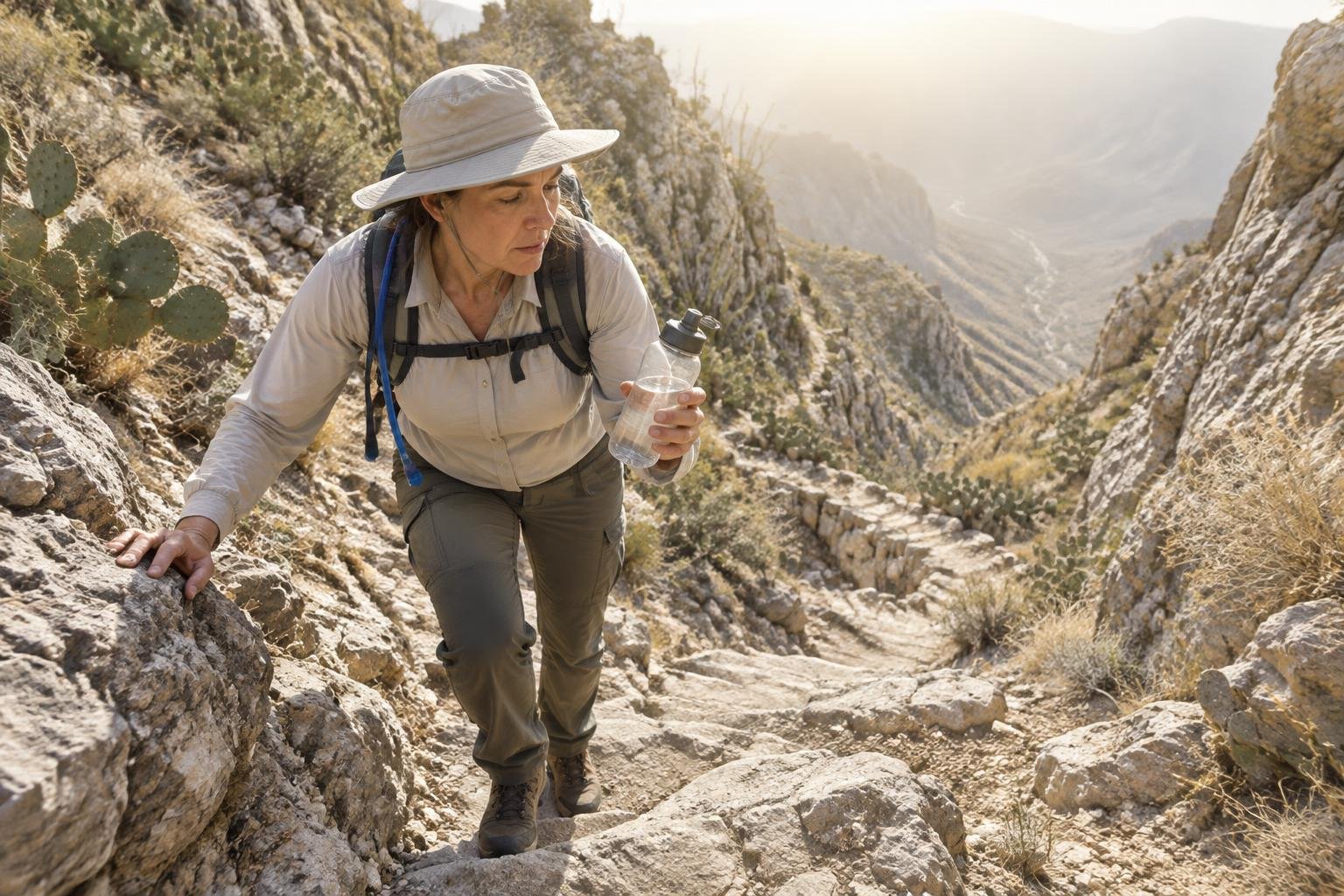
Official season guidance
U.S. National Park Service: October to April; summer is dangerously hot
Day hiking needs no permit, but overnight backcountry trips require a Big Bend permit. This is a large, remote park — carry far more water than you expect to need and check road and closure conditions.
Check current dates on nps.gov/bibeWhat to pack for the season
Packing should follow the season. In the cooler months bring layers you can add or shed, since mornings and evenings feel colder than midday, plus a headlamp for the short days. Sun protection matters in every season. Carry far more water than you expect to need, as the park advises, and add rain cover if you travel when monthly rainfall rises.
For layering, rain cover and weather planning, see hiking in rain, heat and cold.
Timing mistakes to avoid
The biggest timing mistake is treating summer as workable because the days are long. The National Park Service says summer is dangerously hot, and the longest daylight falls in the hottest months. Another is relying on one month's average, when this is a large, remote park where road and closure conditions can change. Overnight trips also need a Big Bend permit, so leave time to arrange it. Check current guidance with the managing authority before committing to dates.
Common questions
Can I hike the South Rim in summer?
The National Park Service says summer is dangerously hot, and its recommended season is October to April. The warmest months here are June through August, so the sensible choice is to plan for the cooler window. Check current conditions and guidance with the managing authority before any summer attempt.
Which months are driest for the Chisos?
On modelled regional averages, February through April are the driest, at roughly 10 to 11 mm a month, with January also low at about 13 mm. November and December run about 16 mm. These are typical regional figures rather than trail readings, so conditions on the day can differ.
How much daylight will I have?
Daylight ranges from about 10.1 hours in December to about 13.9 hours in June. In the recommended October to April window you will typically have roughly 10 to 13 hours, so start early and carry a headlamp, especially in the shortest-day months of winter.
Do I need a permit to hike here?
Day hiking needs no permit, but overnight backcountry trips require a Big Bend permit. This is a large, remote park, so check road and closure conditions with the National Park Service, and confirm current permit rules before you plan an overnight trip.
Sources
- U.S. National Park Service — nps.gov/bibe: official season and permit guidance.
- NASA POWER (Prediction Of Worldwide Energy Resources): monthly temperature and rainfall averages, 2010–2023, from MERRA-2 reanalysis. Daylight hours are calculated from latitude.
Conditions, closures and permit rules change without notice — confirm current information with the managing authority before you go. See our editorial policy and affiliate disclosure.