
Best Time to Hike Franconia Ridge — White Mountains
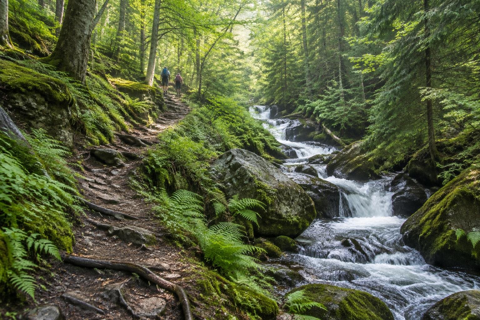
The best time to hike Franconia Ridge is June to October, which is the window given in the official season guidance. These months bring the warmest conditions of the year and the longest daylight, but the exposed ridge can still turn windy and wet fast, so check the summit forecast first.
Month-by-month climate for Franconia Ridge — White Mountains
| Month | Relative warmth | Rain | Daylight |
|---|---|---|---|
| Jan | Coldest | 71 mm | 9 h |
| Feb | Coldest | 73 mm | 10.2 h |
| Mar | Cool | 75 mm | 11.6 h |
| Apr | Mild | 100 mm | 13.2 h |
| May | Warm | 98 mm | 14.6 h |
| Jun | Warmest | 125 mm | 15.3 h |
| Jul | Warmest | 129 mm | 15 h |
| Aug | Warmest | 109 mm | 13.8 h |
| Sep | Warmest | 96 mm | 12.3 h |
| Oct | Warm | 118 mm | 10.7 h |
| Nov | Cool | 80 mm | 9.4 h |
| Dec | Coldest | 112 mm | 8.7 h |
Modelled regional averages for 2010–2023 (rainfall) and calculated daylight hours; they describe the wider area, not a reading taken on the trail. “Relative warmth” compares each month with the warmest and coldest months of this place’s own year. It is not a temperature, and the high parts of a route are colder than the region around them.
The modelled averages show a wet summer and early fall. July is the wettest month at about 129 mm and June follows at 125 mm, while the driest months are January and February at roughly 71 to 73 mm. Daylight swings from about 8.7 hours in December to 15.3 hours in June, a difference of more than six hours. June through September are the relatively warmest months of this place's year, with October and May a step cooler, and December through February the coldest.
Franconia Ridge — White Mountains season by season
Early summer · June to July
June and July pair the longest days of the year, about 15 hours of daylight, with the warmest stretch of the season. They are also the wettest months in the modelled averages, at roughly 125 to 129 mm, so showers are typical on average. The ridge is fully exposed above treeline, which means wind and rain layers belong in the pack even on a clear morning. The long daylight gives a comfortable margin for the loop if weather forces a slower pace.
Late summer to early fall · August to October
August and September stay among the warmest months of the year while rainfall eases a little, with September around 96 mm. Daylight shortens steadily, from about 13.8 hours in August to 10.7 hours by October, so start times matter more as the season advances. October is cooler than late summer and wetter again at about 118 mm. It still falls inside the official season guidance, but the shorter day leaves less buffer for delays on the open ridge.
Late fall and winter · November to February
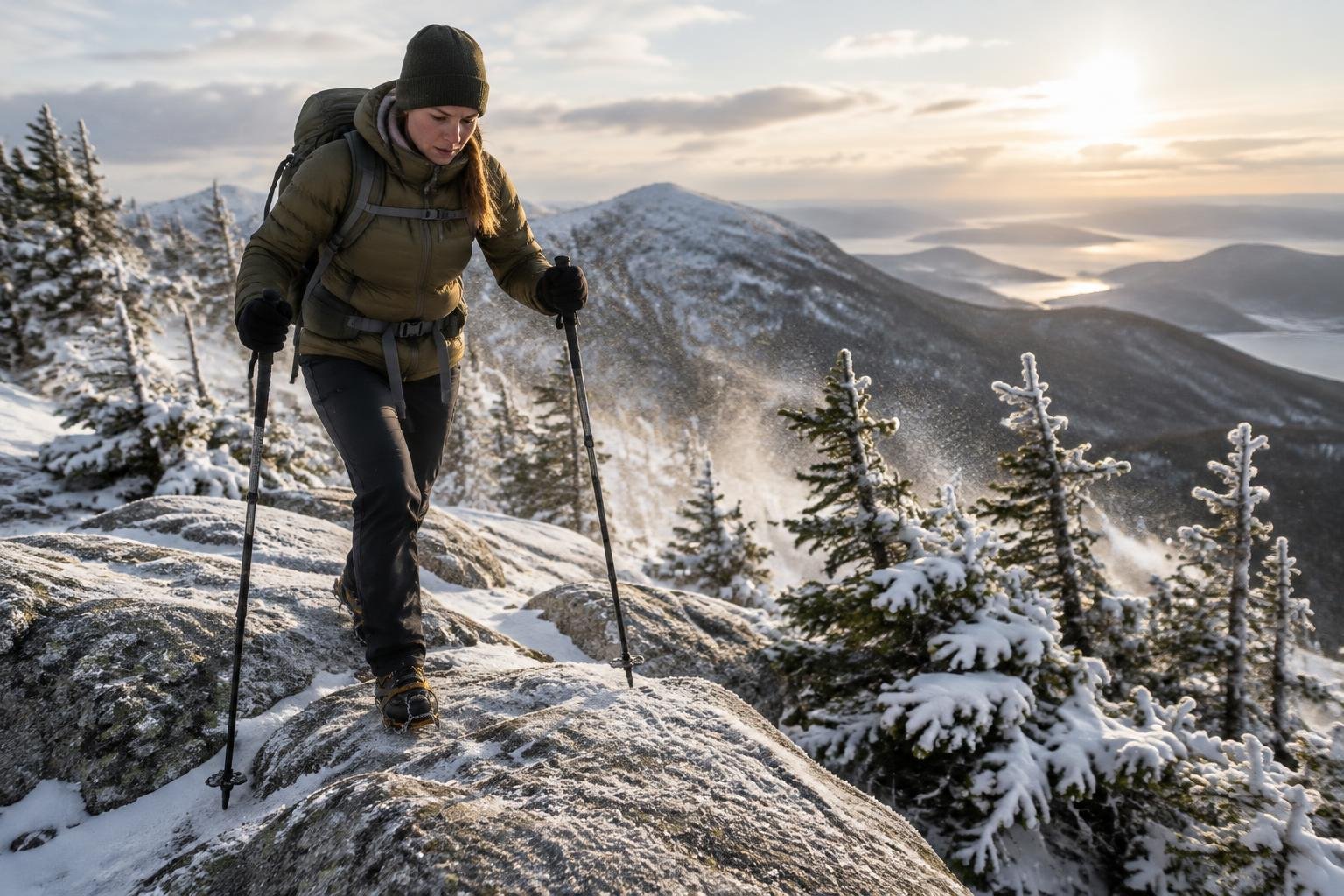
November through February sit outside the official June to October window. These are the coldest months of this place's year, with daylight dropping to about 8.7 hours in December and 9.0 hours in January. December is also fairly wet at about 112 mm. The ridge stays exposed to fast weather, so anyone considering it outside the recommended season should consult the U.S. Forest Service (White Mountain National Forest) for current guidance rather than relying on averages.
Spring · March to May
Spring warms gradually, moving from cool in March to mild in April and warm in May. Rainfall climbs from about 75 mm in March to roughly 100 mm in April and 98 mm in May, and daylight grows from 11.6 to 14.6 hours. These months fall before the official June start of the season guidance. Conditions on the ridge can lag behind what the regional averages suggest, so confirm with the managing authority before planning a spring attempt.
Official season guidance
U.S. Forest Service (White Mountain National Forest): June to October; the ridge is exposed to fast weather
No permit is required for the day-hike loop. The ridge is fully exposed above treeline — check the summit forecast and carry wind and rain layers even on a clear morning.
Check current dates on fs.usda.govWhat to pack for the season
Pack for exposure first, season second. Even in the warmest months, bring wind and rain layers, since the ridge is fully exposed above treeline. Shoulder months call for extra insulating layers, and the shorter days of fall and winter make a headlamp a sensible backup. Sun protection matters on the open, unshaded sections in summer.
For layering, rain cover and weather planning, see hiking in rain, heat and cold.
Timing mistakes to avoid
The most common mistake is treating a good valley forecast as a ridge forecast. The loop is exposed above treeline, and the official guidance warns the weather moves fast, so check the summit forecast rather than the trailhead conditions. Another is ignoring daylight: by October the day is about 10.7 hours, much shorter than in June. Finally, picking a month from averages alone overlooks the official June to October window, so confirm current conditions with the U.S. Forest Service before you go.
Common questions
Is summer the best season for Franconia Ridge?
Summer falls within the official June to October window and brings the warmest months and longest daylight, about 15 hours in June. It is also the wettest stretch on average, so carry rain layers. Because the ridge is exposed and the weather changes quickly, checking the summit forecast matters more than the calendar.
How much daylight do I get in the best season?
Across June to October, daylight runs from about 15.3 hours in June down to roughly 10.7 hours in October. That is a large swing, so later-season starts need to be earlier to leave a comfortable margin. Longer summer days give the most flexibility if the pace slows on the open ridge.
Is it a bad idea to hike the ridge outside June to October?
The official season guidance points to June to October, and the ridge is exposed to fast weather. Outside that window the months are cooler and daylight is shorter, down to about 8.7 hours in December. If you are considering another month, check current conditions with the U.S. Forest Service (White Mountain National Forest) first.
Do I need a permit at any time of year?
The official guidance says no permit is required for the day-hike loop. That does not change the exposure on the ridge, so the key preparation is the summit forecast and carrying wind and rain layers. Rules and conditions can change, so confirm with the managing authority before you go.
Sources
- U.S. Forest Service (White Mountain National Forest) — fs.usda.gov: official season and permit guidance.
- NASA POWER (Prediction Of Worldwide Energy Resources): monthly temperature and rainfall averages, 2010–2023, from MERRA-2 reanalysis. Daylight hours are calculated from latitude.
Conditions, closures and permit rules change without notice — confirm current information with the managing authority before you go. See our editorial policy and affiliate disclosure.