
Affiliate disclosure: this page contains affiliate links. Purchases made through them may earn us a commission at no extra cost to you. See our affiliate disclosure.
In plain English
Franconia Ridge is a loop hike in New Hampshire's White Mountains. You climb steeply beside a stream with waterfalls, walk along a bare, narrow mountain ridge with huge views on both sides, then come down a different, long rocky trail.
On the ridge there are no trees and nowhere to hide from wind, rain or lightning. That is why people start early and plan to be down before afternoon storms. If the weather turns, the safe choice is to drop back below the trees as fast as possible.3
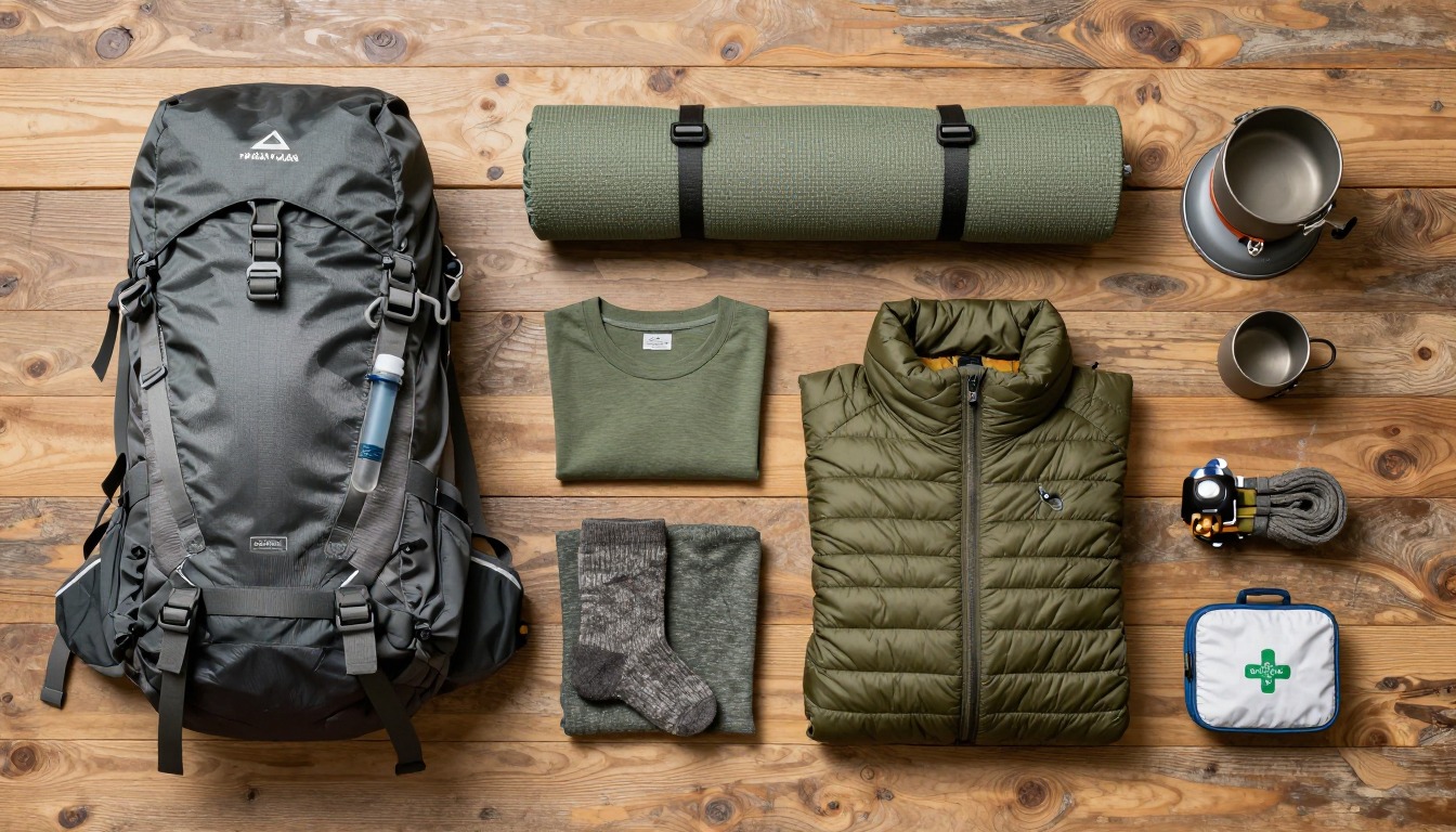
Carry a daypack with water, food, a warm layer, a rain jacket, a hat and gloves, even if it is warm at the car. The stream crossings can get your feet wet, so a spare pair of socks is a small thing that makes a big difference.4
What the hike is like
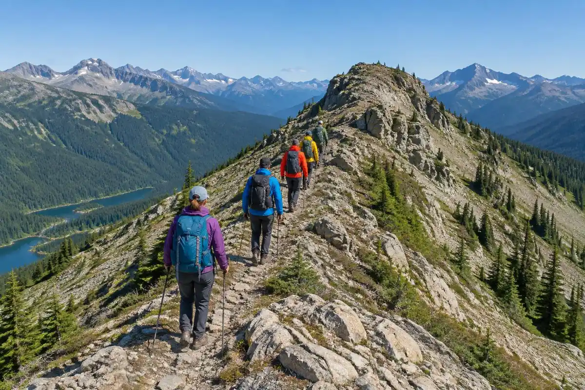
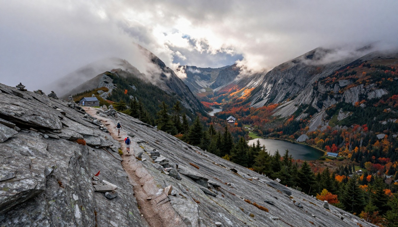
The loop is three different hikes stitched together. Falling Waters climbs hard and wet, crossing and recrossing a brook on rock hops that can be genuinely awkward in high water, past a string of cascades, on tread that is more staircase of roots and stone than path. It is steep and it does not let up until treeline. Then the trees stop and you step onto the ridge, where the trail becomes a thin line of worn rock and gravel running along the crest over Little Haystack, Mount Lincoln and Mount Lafayette, fully open on both sides with scrambly little steps between the humps and no shelter anywhere. The Old Bridle Path descent is the sting in the tail: slabby, rocky and interrupted by short climbs on the way down, with the ridge you just walked in view across the ravine.
How to plan the itinerary
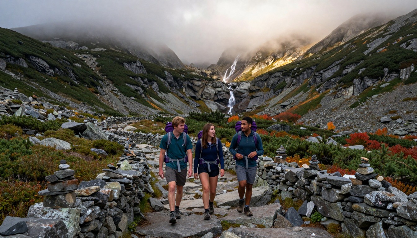
The near-universal plan is a single big day, walked up Falling Waters and down the Old Bridle Path. That direction gets the steep, slippery brook-crossing climb done on fresh legs and saves the longer, more gradual descent for the end, which is easier on knees. Because the ridge itself is completely exposed, people time the day around being on the crest in the morning and off it before afternoon weather builds, which in practice means an early start and being at the trailhead before the lot fills. Hikers who want to stretch it out use a bunk at one of the Appalachian Mountain Club huts near the ridge, or a designated backcountry tentsite, splitting the trip so the ridge is walked in early light with a light pack and less time pressure.
Plan this trip in 5 steps
-
Pick the right pack
Match a pack to your trip, fit and priorities.
-
Book a place to stay
Campgrounds, huts and lodges near Franconia Ridge — White Mountains.
-
Plan food & water
Calories, food weight and water for your days on trail.
-
Estimate your time
Pre-filled with this trail’s distance and climb — adjust for your pace.
Trail-specific tips
The ridge decides everything. It is stunning in good weather and genuinely hazardous in bad, with no trees, no escape and nothing to hide behind when wind and lightning arrive, so check the high-summit forecast and be prepared to climb to treeline, look, and turn around. The other classic mistake is celebrating too early: the Old Bridle Path descent has short uphill sections that break people who thought the hike was over. Save something for it. Brook crossings on the way up can be impassable after heavy rain. For weather calls, see /trail-smarts/.
Permits & rules
No permit is required for the day-hike loop. The ridge is fully exposed above treeline — check the summit forecast and carry wind and rain layers even on a clear morning.
Gear suited to this hike
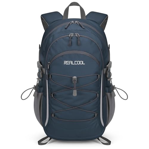
Matched to the terrain and conditions here. Real products — check current price on Amazon.


What the numbers say about this loop
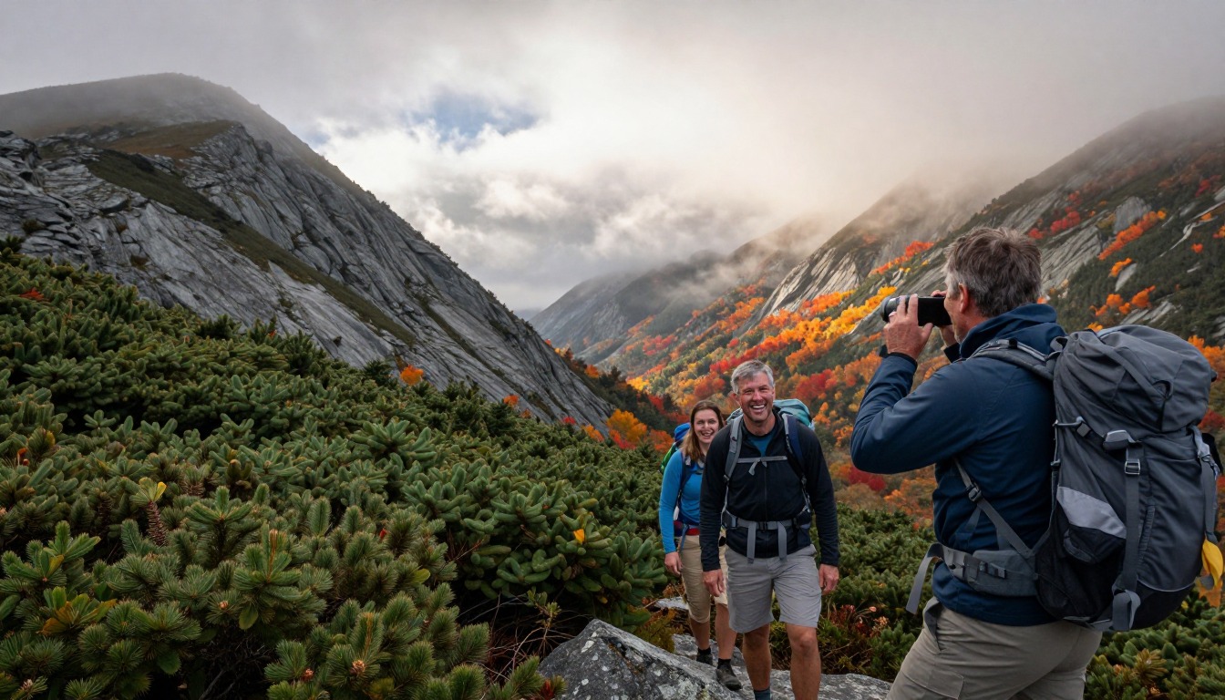
The page lists 8.9 miles and about 3,900 feet of gain. The Shenandoah formula, the square root of gain times two times distance, puts that at about 263, above the 200 threshold the NPS calls Very Strenuous.1 Naismith's rule of one hour per three miles plus one hour per 2,000 feet gives just under 5 hours of moving time.2 The Falling Waters climb, with rock hops and wet roots, runs slower than either formula predicts; Mountaineering Scotland lists ground conditions, slope and wind among the factors that change walking speed.6
Those figures back the page's advice to start early. If Naismith says five hours moving, a realistic day with breaks and slow footing is seven or more, and the goal is to be across the exposed crest before afternoon weather.
Exposure, storms and cold on a summer ridge
The NWS says mountain thunderstorms often build in the early afternoon, so hike early and be off the mountain by noon; avoid ridge tops and wait 30 minutes after the last thunder before returning to exposed ground.3 It also says there is no safe place outdoors in a thunderstorm.7 On Franconia that means the decision point is treeline on the way up.
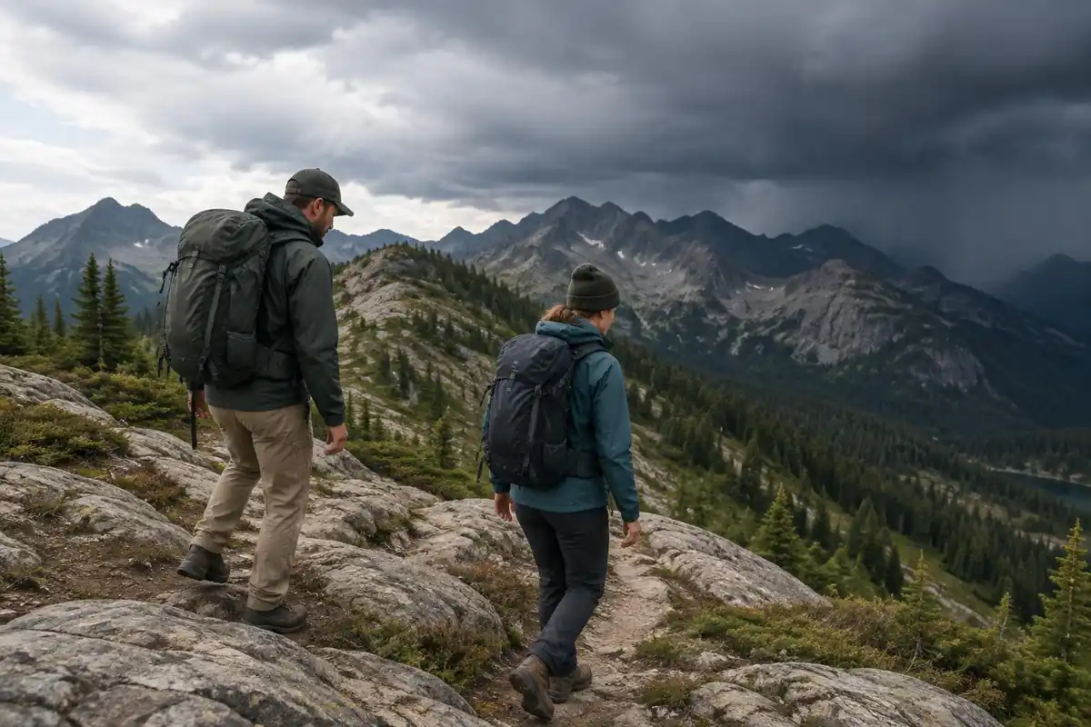
Cold is the other risk. The CDC notes hypothermia can develop above 40°F when you are chilled by rain, sweat or cold water.8 After a sweaty climb up Falling Waters, the wind on the ridge chills you fast, so pull on a layer at treeline rather than waiting to feel cold. NIOSH notes wet feet lose heat 25 times faster than dry feet.4
Overnight options and how the rules shape the pack
The White Mountain National Forest home page lists area-specific alerts, including a food storage requirement in the Pemigewasset Wilderness, a trail closure notice and camping and fire restrictions in named locations.5 Rules differ within the forest, so an overnight plan should be checked against the alerts for the exact area where you will sleep. Wherever you camp, NPS Leave No Trace guidance is to camp at least 200 feet from lakes and streams and dig catholes 6 to 8 inches deep, 200 feet from water, camp and trails.9
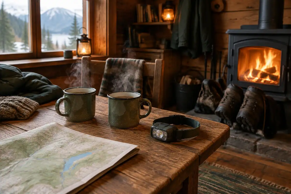
A hut or tentsite overnight turns a daypack into a 45–50 L pack by WTA's sizing.10 The Appalachian Mountain Club's packing advice is to put sleeping gear at the bottom and dense items about two-thirds up, centered against the back, which keeps the load steady on the ridge's scrambly steps.11 The Green Mountain Club notes high-elevation trails are most vulnerable due to thin soils and fragile vegetation, so stay on the worn tread.12
Common questions
Which direction should I hike the loop?
Up Falling Waters and down the Old Bridle Path is the overwhelmingly common choice. It puts the steep, wet, rocky climbing at the start while you are strongest and leaves a longer, more moderate descent for tired legs. Reversing it is possible, but descending Falling Waters on slick rock at the end of a long day is unpleasant.
How hard is Franconia Ridge for a first big hike?
It is a serious step up from a casual day hike: sustained steep climbing, rough footing throughout, and a long exposed section at the top. Fit hikers do it as their first White Mountains loop all the time, but it deserves an early start, real layers and honest self-assessment. Turning back at treeline in poor weather is the right call.
What happens if the weather turns while I am on the ridge?
The exposed section has no shelter, so the standard response is to get below treeline by the nearest route rather than continue along the crest. That is why hikers check the forecast, watch what is building, and decide at treeline. General guidance on reading mountain weather and making turnaround calls is on /trail-smarts/.
Can I split the hike over two days?
Yes. A bunk at one of the Appalachian Mountain Club huts near the ridge, booked in advance, or a designated backcountry tentsite lets you break the loop into two easier halves and walk the ridge early in the day. Camping and fire rules vary by area within this national forest, and the forest posts specific alerts, including a food storage requirement in the Pemigewasset Wilderness, so check current rules for the exact area before planning an overnight.
Complete gearsets for this trip
Full curated kits built for exactly this kind of hike.

Trail conditions, permits and access rules change without notice — always confirm current information on the official source above before you go. Some facts on this page are still pending owner verification and are marked accordingly. Product links and the accommodation map are affiliate links: we may earn a commission at no extra cost to you; product prices and availability are shown on Amazon, and accommodation prices on the booking site. See our affiliate disclosure.