
Affiliate disclosure: this page contains affiliate links. Purchases made through them may earn us a commission at no extra cost to you. See our affiliate disclosure.
In plain English
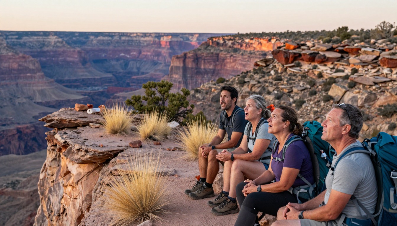
Big Bend is a huge, remote national park in the Texas desert. The South Rim hike climbs out of the Chisos Basin, a bowl in the mountains, through cool pine and oak woods to the edge of a cliff with a view across miles of desert.
The biggest thing to plan for is water. There is no reliable water on the trail, and the desert dries you out fast. Water is heavy, about 8 pounds for a gallon, so a big day means a heavy pack.2 The park itself warns that summer is hot.1
Start early, carry sun protection, and pace yourself. If someone gets confused, stops making sense or seems very hot, that can be heat stroke, a medical emergency; call 911 and cool them down.5 You can also camp near the rim with a permit, but then you carry all your water for two days.
What the hike is like
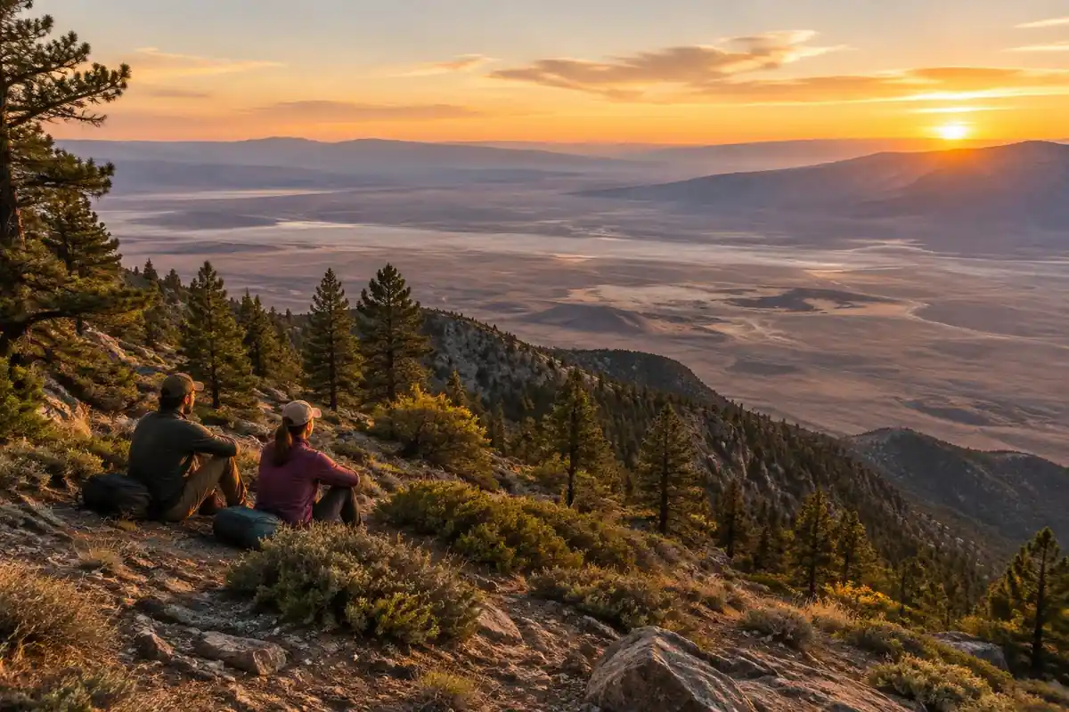
Two trails climb out of the Chisos Basin and rejoin near the rim, which is what makes this a loop rather than an out-and-back. One side gains height quickly on tight switchbacks and stone steps through a rocky drainage; the other takes a longer, more gradual line across open slopes. Both lead out of the desert scrub of the Basin into an unexpected world of pine, oak and juniper, shaded and green in a way that does not match anything below. The rim section is the payoff and the easiest walking of the day: a near-level traverse along the top of the escarpment with the ground simply ending on one side and the Chihuahuan Desert running out in ridges below. A rough side spur climbs to the park's high point and finishes with a short hands-on scramble over boulders.
How to plan the itinerary
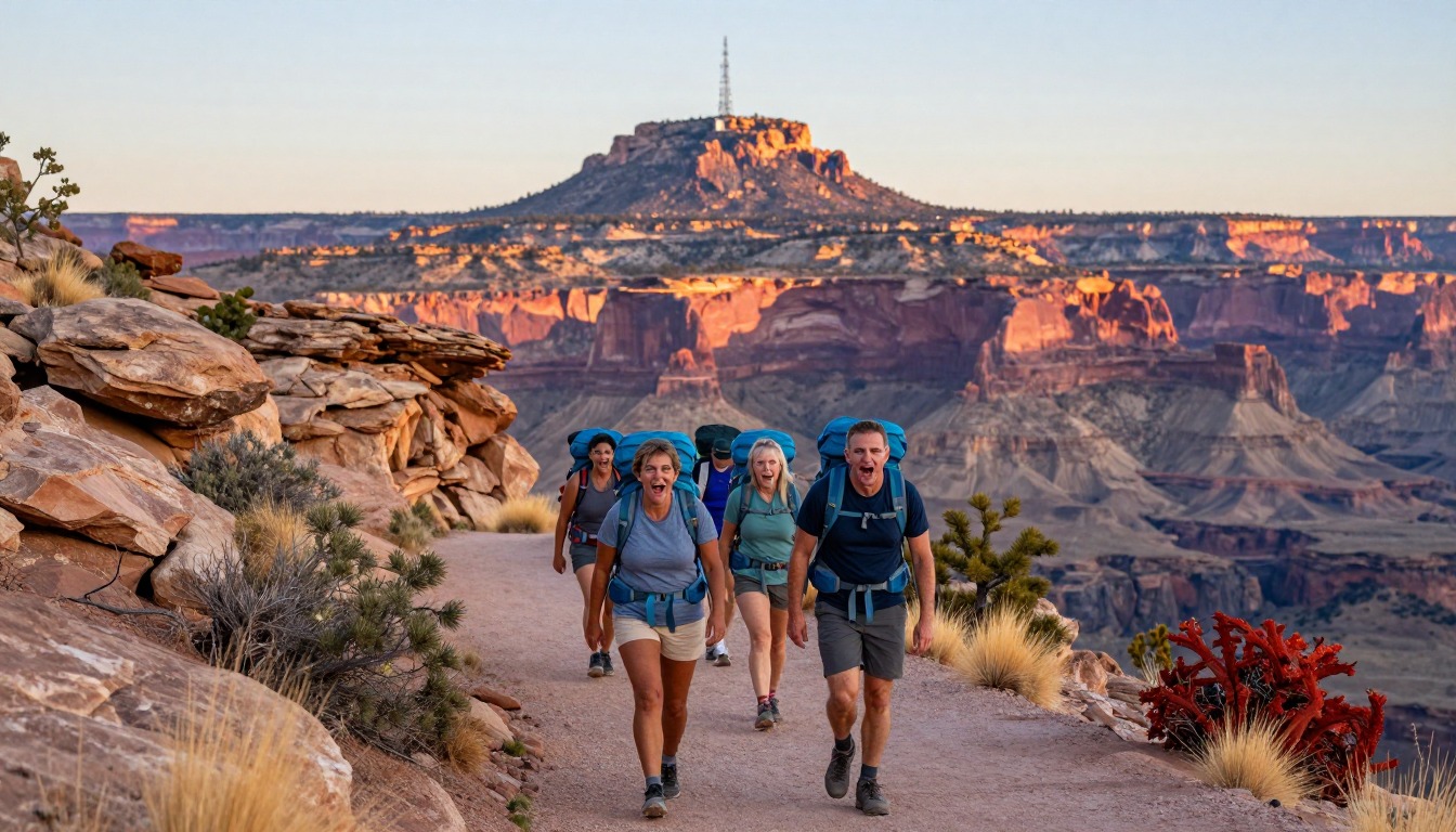
Most people hike the whole loop in one long day, going up one of the two climbs and down the other so the terrain stays fresh in both directions; which way round is largely personal preference and shade timing. It is a full day rather than a morning, so an early start matters, both for temperature and to be off the exposed climb before the afternoon. Hikers who want the rim at sunset and sunrise carry a pack up and stay at one of the designated backcountry campsites along the escarpment, which requires a permit arranged ahead of the trip. Those less certain about a long day can climb partway and turn around at the high forested country without ever reaching the rim, which is still a good outing.
Plan this trip in 5 steps
-
Pick the right pack
Match a pack to your trip, fit and priorities.
-
Book a place to stay
Campgrounds, huts and lodges near Big Bend — South Rim & Chisos.
-
Plan food & water
Calories, food weight and water for your days on trail.
Trail-specific tips
Water is the whole game here. There is no reliable source on the route, you carry everything you drink, and the climb back into the Basin comes at the end of the day when you have least left. Carry more than feels sensible, and start early enough that the exposed sections are behind you before the heat peaks. Parts of the escarpment close seasonally for nesting peregrine falcons, which can reroute the loop, so check current park status before you go. For heat management and hydration planning, see /trail-smarts/.
Permits & rules
Day hiking needs no permit, but overnight backcountry trips require a Big Bend permit. This is a large, remote park — carry far more water than you expect to need and check road and closure conditions.
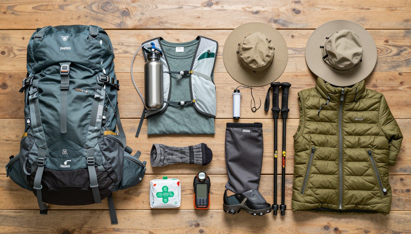
Gear suited to this hike
Matched to the terrain and conditions here. Real products — check current price on Amazon.


Water: how much, how heavy, and the drinking debate
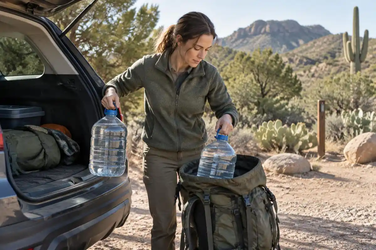
The page rightly says there is no dependable water on the route. How much to carry is where sources give different numbers. Guadalupe Mountains, another desert park in Texas, advises one gallon per person per day and notes water weighs about 8 pounds per gallon.2 Grand Canyon's guidance is that hikers in heat can lose one to two quarts of water an hour, and to eat salty snacks alongside it.6 Neither is a Big Bend figure, so treat them as starting points and adjust for the season.
On when to drink, the page says to drink steadily rather than wait for thirst, which matches the NPS Ten Essentials advice that active hikers in hot weather should drink before feeling thirsty.7 The CDC Yellow Book takes a different line: drinking to relieve thirst helps prevent hyponatremia, forcing water when not thirsty raises that risk, and thirst alone may not prevent mild dehydration.4 Both agree that water without salt is a problem on long hot days.
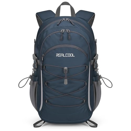
For an overnight on the rim, a gallon a day for two days is about 16 pounds of water before any gear, which is why a desert overnight pack needs a hip belt that carries weight well.
Heat timing and warning signs
The park's official site tells visitors to be prepared for summer in the desert and links current weather and air quality readings.1 Grand Canyon notes most heat-illness rescues there involve people hiking between 10 a.m. and 4 p.m.6 Naismith's rule gives about 5.6 hours of moving time for the page's 12.6 miles and 2,800 feet, and the Shenandoah formula scores it about 266, Very Strenuous.8 A dawn start keeps the climb out of the Basin in shade and cooler air.
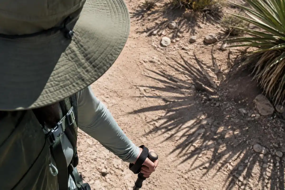
The NWS lists heat exhaustion signs as heavy sweating, weakness, cool pale clammy skin, dizziness, nausea and headache, and says heat stroke signs include confusion, slurred speech and a body temperature above 103°F; heat stroke means calling 911 immediately.5
Planning around a changing park
The park's site notes the construction of a new Chisos Mountains Lodge, once scheduled to begin in May 2026, will not proceed, and lists four developed campgrounds plus primitive backcountry camping.1 Facilities in the Basin affect where you stage the hike, so check current services before you go.
For overnights on the rim, Leave No Trace basics apply: pack out toilet paper, and in this dry landscape keep any camping impact to durable ground.9 The CDC recommends SPF 30 or higher sunscreen reapplied every 2 to 4 hours, and notes UV is more intense at higher elevations.10
Common questions
Which way should I hike the loop?
Both directions are walked regularly and neither is clearly superior. The usual reasoning is about shade and heat: people choose to climb the side that will be shaded at the hour they are on it. Going up one trail and down the other is what matters most, since it makes the whole day feel like a loop rather than a repeat.
How much water should I carry?
More than you would for a hike of similar length in a cooler place, because there is no dependable water on the route and the desert air pulls moisture out of you faster than you notice. Work it out for the full round trip with a margin, and drink steadily rather than waiting until you feel thirsty.
Can I do this as an overnight?
Yes, at designated backcountry campsites along the rim, which require a park backcountry permit arranged in advance. Camping up there means sunset and sunrise over the desert without a descent in the dark, but you carry all your water as well as your gear, and seasonal closures can affect which sites are available.
Is the side scramble to the high point worth it?
It is a rough, steep spur that ends with a short hands-on climb over boulders, and it adds meaningful effort to an already long day. Hikers who want the summit and have energy left usually find it rewarding; those already feeling the heat are better served by saving their reserves for the climb back into the Basin.
Complete gearsets for this trip
Full curated kits built for exactly this kind of hike.

Trail conditions, permits and access rules change without notice — always confirm current information on the official source above before you go. Some facts on this page are still pending owner verification and are marked accordingly. Product links and the accommodation map are affiliate links: we may earn a commission at no extra cost to you; product prices and availability are shown on Amazon, and accommodation prices on the booking site. See our affiliate disclosure.