
Best Time to Hike Mount Toubkal — High Atlas
The best time to hike Mount Toubkal is spring to fall, according to the official season guidance, with winter treated as a mountaineering climb rather than a standard trek. In the data, June to August is driest and warmest, while May and September to October are milder shoulder options.
Month-by-month climate for Mount Toubkal — High Atlas
| Month | Relative warmth | Rain | Daylight |
|---|---|---|---|
| Jan | Coldest | 36 mm | 10.2 h |
| Feb | Coldest | 34 mm | 10.9 h |
| Mar | Coldest | 49 mm | 11.8 h |
| Apr | Cool | 28 mm | 12.8 h |
| May | Mild | 15 mm | 13.6 h |
| Jun | Warm | 10 mm | 14 h |
| Jul | Warmest | 8 mm | 13.8 h |
| Aug | Warmest | 11 mm | 13.1 h |
| Sep | Warm | 19 mm | 12.2 h |
| Oct | Mild | 24 mm | 11.2 h |
| Nov | Cool | 58 mm | 10.4 h |
| Dec | Coldest | 25 mm | 10 h |
Modelled regional averages for 2010–2023 (rainfall) and calculated daylight hours; they describe the wider area, not a reading taken on the trail. “Relative warmth” compares each month with the warmest and coldest months of this place’s own year. It is not a temperature, and the high parts of a route are colder than the region around them.
The modelled figures show a clear dry season: July is the driest month at about 8 mm, with June at 10 mm and August at 11 mm. Rainfall climbs toward November, the wettest month at about 58 mm, and March is also relatively wet at 49 mm. Warmth follows the same arc: July and August are the warmest months of this place's year, while December through March are the coldest. Daylight swings from about 10 hours in December to roughly 14 hours in June, which changes how much margin you have for a summit day. These are regional averages, not trail measurements.
Mount Toubkal — High Atlas season by season
Spring · March to May
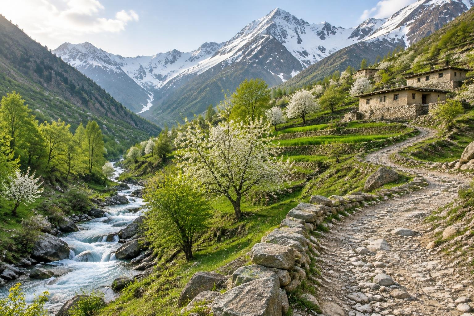
Spring is the start of the season the managing authority describes as suitable for the trek, though the early weeks are the least settled. March is among the coldest months of the year here and also relatively wet, at about 49 mm on average, so it suits people who are comfortable with cold, changeable conditions. Rain eases to about 28 mm in April and 15 mm in May, while warmth moves from cool to mild and daylight stretches past 13 hours by May. Because the summit area is high and cold even in good weather, check current conditions before committing to a date.
Summer · June to August
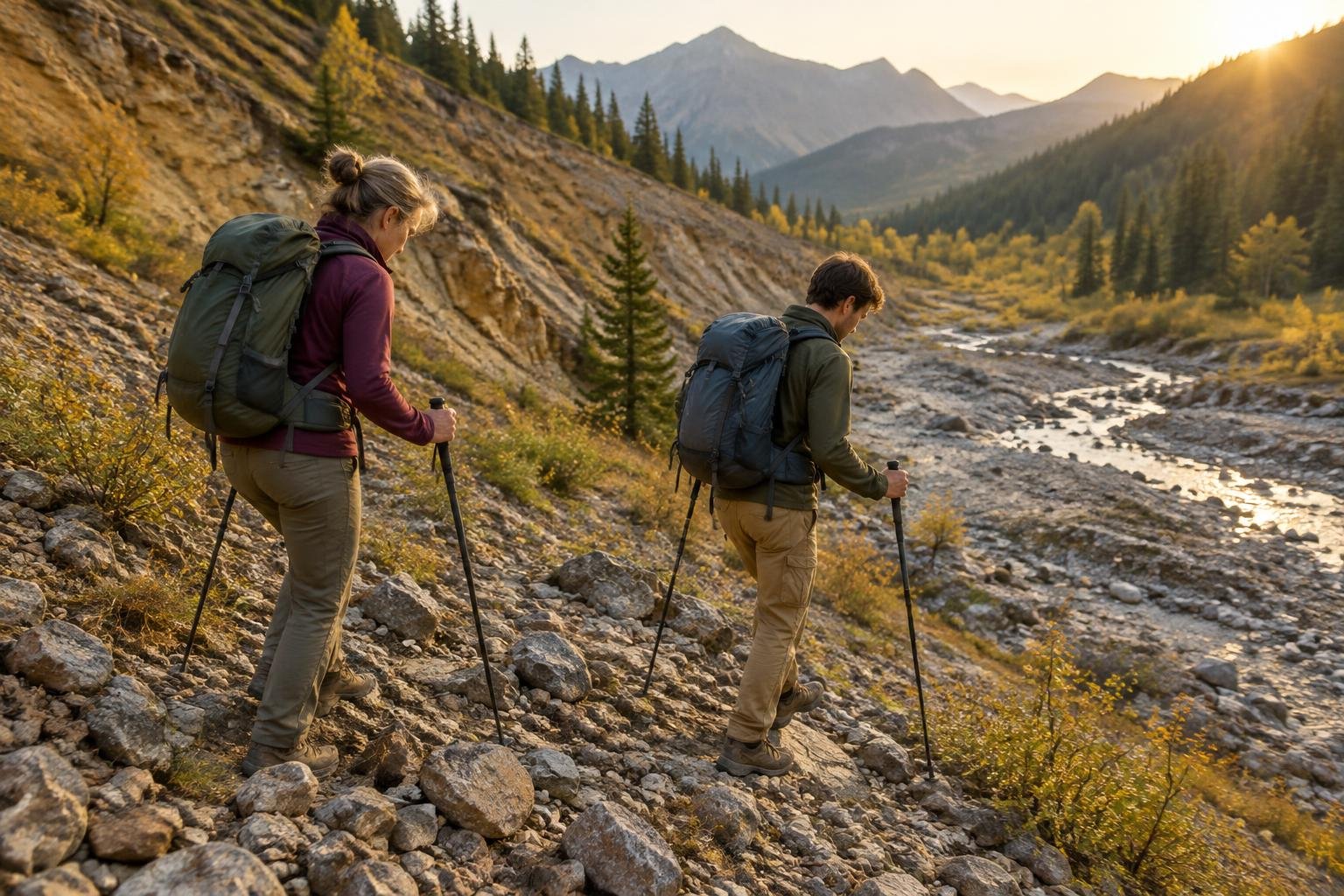
Summer is the driest and warmest stretch in the data, with typical rainfall of roughly 8 to 11 mm a month and the longest days of the year, peaking near 14 hours in June. The official guidance notes the trek is non-technical in summer, which is why this window is the usual choice for a two-day push to the summit. Even so, the top remains high and cold, so the warm label refers to this place's own year and not to summit conditions. Longer daylight gives more flexibility for an early start and an unhurried descent.
Early fall · September to October
Early fall sits within the spring-to-fall season in the official guidance and offers a gentler transition out of summer. Warmth eases from warm in September to mild in October, and rainfall rises from about 19 mm to 24 mm on average, still modest compared with November. Daylight shortens from about 12 hours to just over 11, so the margin for a long summit day narrows as the month progresses. This window can suit hikers who prefer cooler conditions and are comfortable planning around earlier sunsets and a bit more moisture.
Late fall and winter · November to February
From November the picture changes. November is the wettest month in the data at about 58 mm, and December through February are among the coldest months of the year with the shortest days, around 10 hours of daylight. The official guidance is explicit that winter is a mountaineering climb rather than a standard trek, so this period calls for appropriate experience, equipment and current local advice. If you are considering these months, confirm conditions and requirements with the managing authority before planning, because they can change and the numbers here are only modelled averages.
Official season guidance
Toubkal National Park (Morocco): Spring to fall; winter is a mountaineering climb
Local guides are widely used for Toubkal and rules can change, so check current requirements before you go. The trek is non-technical in summer but high and cold at the top; acclimatize, start the summit day early, and check conditions.
Check current dates on visitmorocco.com (Moroccan National Tourist Office)What to pack for the season
Packing for Toubkal is driven by the gap between the valley and the summit, which stay cold even in the warmest months. Bring layers you can add and remove, a reliable rain shell for wetter shoulder months, and sun protection for long days at altitude. Because daylight drops to about 10 hours in winter months, a headlamp matters most outside summer.
For layering, rain cover and weather planning, see hiking in rain, heat and cold.
Timing mistakes to avoid
The biggest timing mistake is treating the warm months as proof that the summit will be mild; the official guidance notes the top is high and cold even in summer. Another is planning around a single month's average and ignoring the early start a summit day needs, especially when daylight is shorter in spring and fall. Hikers also underestimate the shift to mountaineering conditions in winter. Finally, rules and local guide requirements can change, so check current requirements before you travel.
Common questions
When is the best time to hike Mount Toubkal?
The official season guidance points to spring to fall, with summer being the point at which the trek is non-technical. In the modelled data, June to August is the driest and warmest period, so many people aim for that window. Shoulder months such as May and September are also reasonable, and conditions should always be checked first.
Is it possible to hike Toubkal in winter?
The managing authority's guidance describes winter as a mountaineering climb rather than a regular trek. That means conditions and skill requirements are different from the summer route. The data also shows December through February are among the coldest months with the shortest days, so check current conditions and requirements before planning anything in these months.
Which months are driest for Toubkal?
Based on modelled regional averages, July is the driest month at about 8 mm, followed by June at 10 mm and August at 11 mm. These figures are typical values rather than trail measurements, so conditions on any given day can differ. Rainfall rises toward autumn, with November the wettest month at about 58 mm.
How much daylight will I have on a Toubkal summit day?
Daylight varies from about 10 hours in December to roughly 14 hours in June. Longer summer days give more flexibility for the early start the official guidance recommends. In spring and fall the margin is smaller, so plan your timing carefully and confirm local conditions with the managing authority before you go.
Sources
- Toubkal National Park (Morocco) — visitmorocco.com (Moroccan National Tourist Office): official season and permit guidance.
- NASA POWER (Prediction Of Worldwide Energy Resources): monthly temperature and rainfall averages, 2010–2023, from MERRA-2 reanalysis. Daylight hours are calculated from latitude.
Conditions, closures and permit rules change without notice — confirm current information with the managing authority before you go. See our editorial policy and affiliate disclosure.