
Affiliate disclosure: this page contains affiliate links. Purchases made through them may earn us a commission at no extra cost to you. See our affiliate disclosure.
In plain English
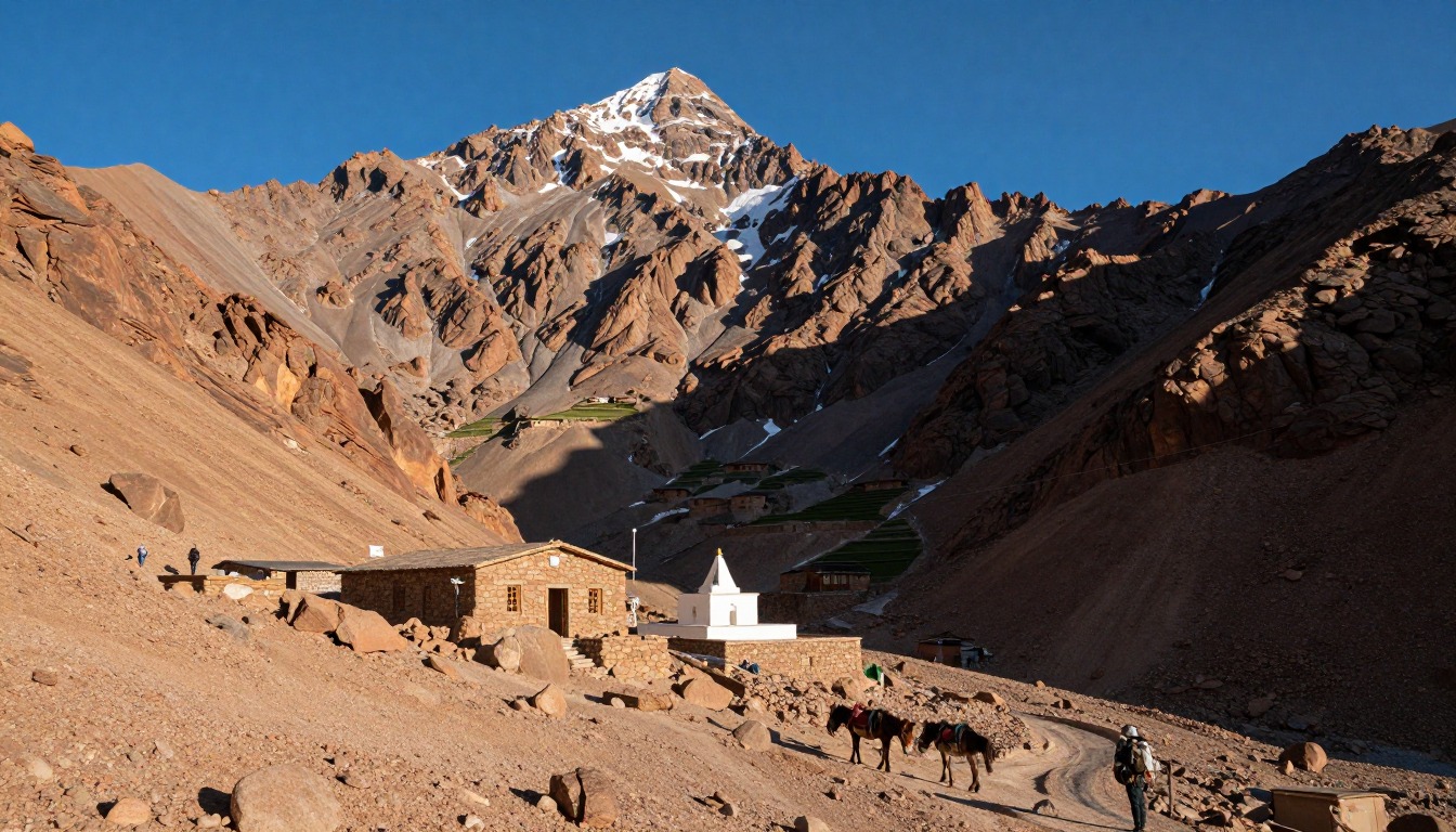
Toubkal is the highest mountain in North Africa, in Morocco's High Atlas. The usual plan takes two days. You walk up a broad stony track from the village of Imlil to a mountain hut, sleep, then climb in the dark on loose scree to reach the top around sunrise. In summer it needs no ropes.
Most of the trouble comes from height. You may go from a warm city like Marrakech to sleeping in the mountains in a day or two. That can cause headaches, poor sleep and breathlessness. Going slowly and adding an extra night helps.
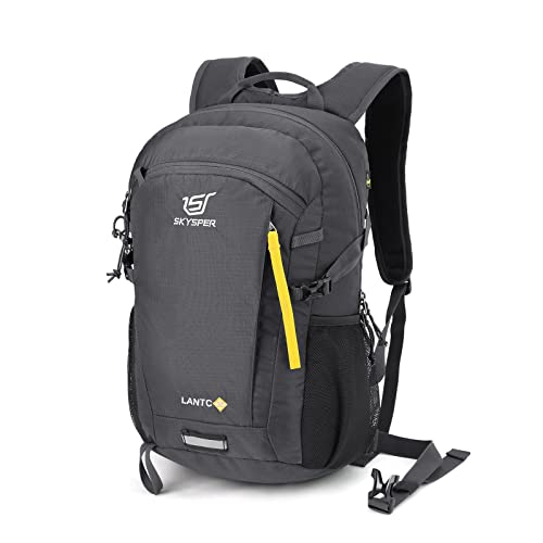
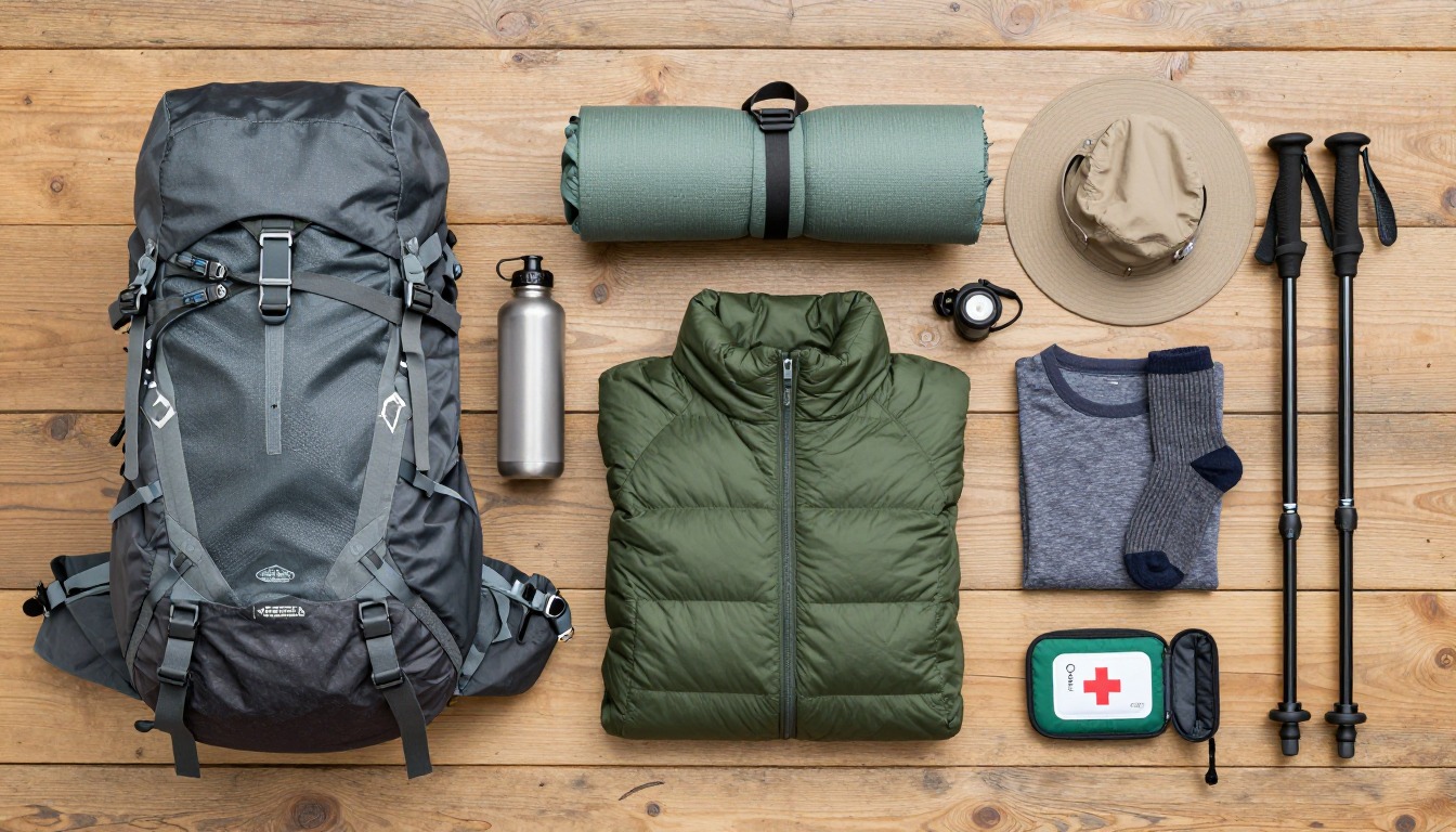
Your pack can be small. A daypack with water, warm layers, sun protection, a headlamp and snacks is enough for summit day. Loose scree is tough on ankles and knees, so sturdy footwear and a light load make the day easier.
What the hike is like
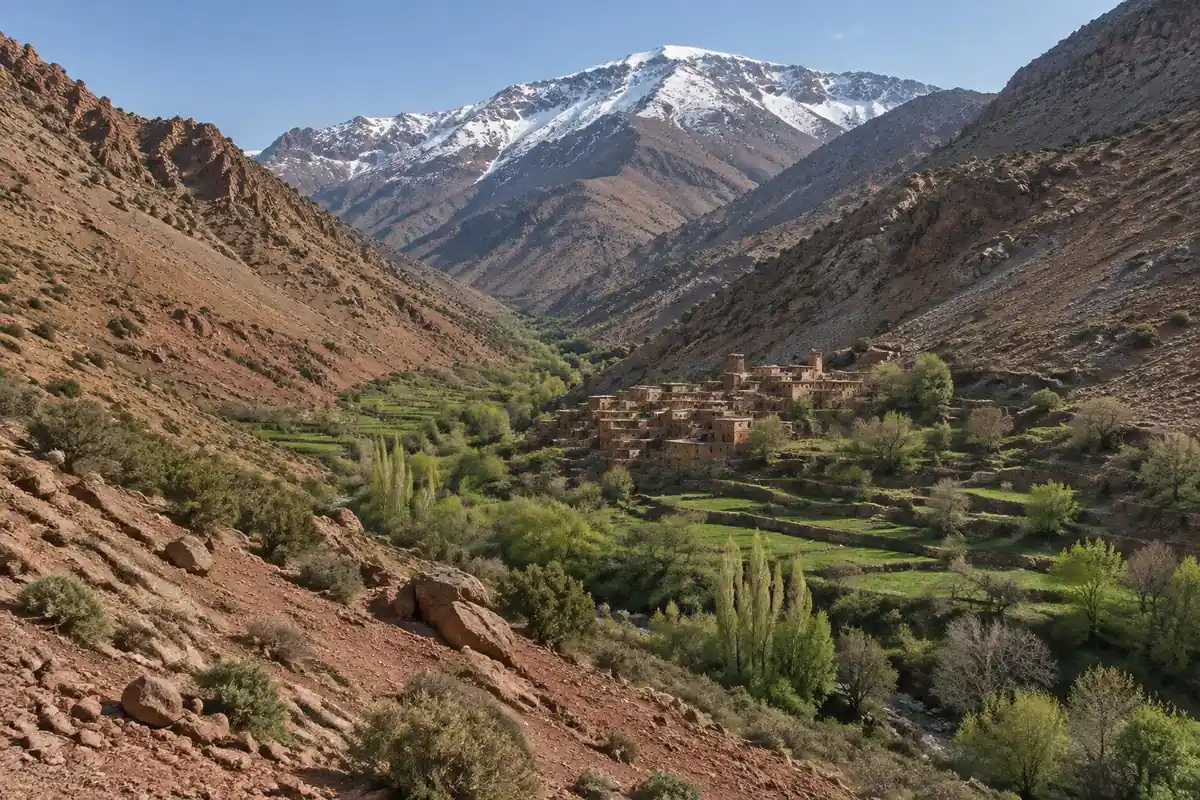
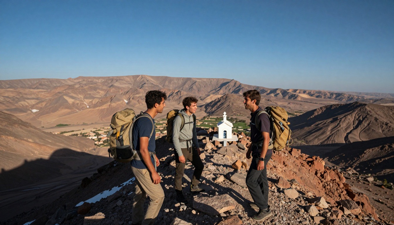
The walk up from Imlil is a mule track more than a hiking trail, a broad stony path following the valley past terraced fields and villages, then climbing beside the riverbed on loose rock, with a small pilgrimage site partway up where the valley narrows. Above that the vegetation gives out and the path zigzags up bare, rubbly slopes to the refuges below the peak. The summit day is where the ground turns genuinely tiring: a long climb into a boulder-strewn gully of shifting scree, hard work in the dark, followed by a broad stony plateau and an easy final ridge walk to the marker at the top. Nothing on the standard summer route needs a rope or technical skill, but almost all of it is loose underfoot, going up and coming down alike.
How to plan the itinerary
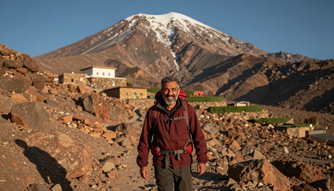
The two-day shape is near universal: walk up from Imlil to the refuge on the first afternoon, eat, sleep poorly at altitude, then start the summit push in the dark and be on top not long after sunrise, back at the refuge for a late breakfast and down to Imlil by mid-afternoon. Some hikers stretch it to three days by adding a night in Imlil first, or by spending a second night at the refuge, which gives the body more time to adjust and turns a rushed trip into a comfortable one. Guides typically set a slow, steady pace on summit morning and will turn a group around if weather closes in. Adding a buffer day is sensible, since a poor forecast can push the attempt back and a tight schedule leaves no second chance.
Plan this trip in 5 steps
-
Pick the right pack
Match a pack to your trip, fit and priorities.
-
Plan food & water
Calories, food weight and water for your days on trail.
Trail-specific tips
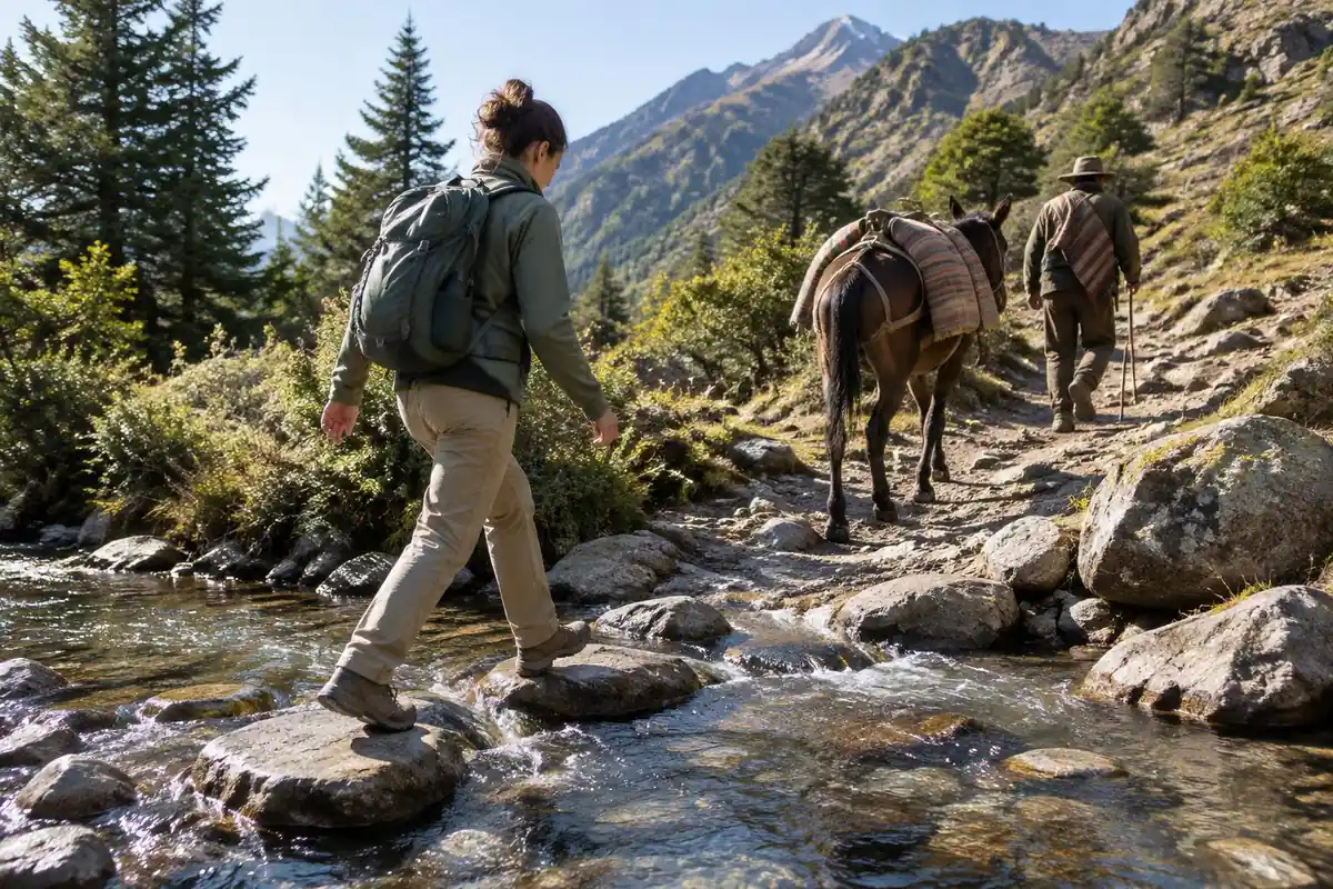
The altitude, not the climbing, is what stops people. Coming more or less straight from Marrakech means arriving at the refuge barely adjusted and sleeping badly, so go slowly from the very first hour and drink more than feels necessary. Summit morning is cold and dark on loose scree, where poles help and a headlamp with fresh batteries is not optional. Carry warm layers even when the valley below is baking. The classic mistake is treating this as a hill walk because it is non-technical in summer. General advice is at /trail-smarts/.
Permits & rules
Local guides are widely used for Toubkal and rules can change, so check current requirements before you go. The trek is non-technical in summer but high and cold at the top; acclimatize, start the summit day early, and check conditions.
Gear suited to this hike
Matched to the terrain and conditions here. Real products — check current price on Amazon.


Altitude after a fast arrival
The CDC Yellow Book says an unacclimatized person sleeping at 8,000 ft or above is at risk of altitude illness, and that fitness and training do not protect against it.1 A 2025 review of Wilderness Medical Society guidance notes increased risk above about 8,200 ft (2,500 m).3 A hut night at that kind of height, reached within a day or two of a city, is where headaches and poor sleep come from.
Headache is the main symptom, typically 2 to 12 hours after arrival, and it improves rapidly with descent of 1,000 ft or more; the guidance is never to go higher to sleep while symptomatic.1 This is why the existing page's suggestion of an extra night lower down or at the refuge is sound. This is general information; see a doctor before you go and get medical help if symptoms worsen.
Sun, cold and summit-morning layers
UV intensity rises about 6% per kilometer of elevation, according to the EPA,4 and the CDC says UVB is stronger at higher elevations and that snow reflects it.5 A hat and sunscreen are needed even on a cool morning. Cold before dawn calls for an insulating layer and a windproof shell; the CDC says hypothermia can develop above 40°F if chilled by rain, sweat or wind,6 and the NPS recommends wool or synthetic over cotton.7
Scree, poles and winter
Loose scree is hard on knees on the way down. Poles lowered knee compressive and shear forces by 12 to 25% in a laboratory study on a steep downhill ramp.8 Keep the daypack light and close to your back, because energy cost rises with load and grade.9
The existing page says winter turns the route into a mountaineering objective needing crampons and an ice axe. That is a reasonable caution. Kahtoola describes its MICROspikes as designed for icy, packed snow in mountainous terrain.2 So treat winter as a different trip that calls for the right skills and a qualified guide.
Guides, refuges and conditions
Distances and timings on this page are planning estimates. Confirm guide requirements, refuge availability and current weather locally, with a guide or the refuge, since conditions on the summit route can change quickly.
Common questions
Do you need technical skills or equipment to climb Toubkal?
In the main season, no. The standard route is a walk on trail and scree with a guide, and no ropes or climbing skill are involved. Sturdy boots, poles, and warm layers cover it. In winter the same route becomes a genuine mountaineering objective with snow and ice, requiring different equipment and experience.
How much does the altitude affect people coming from Marrakech?
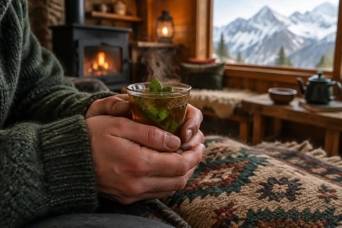
More than most expect. You go from a low-lying city to sleeping high in the mountains within a day or two, so headaches, poor sleep, and breathlessness at the refuge are common even among fit hikers. Walking slowly, hydrating, and adding an extra night lower down all help the body catch up.
Can you climb Toubkal in a single day from Imlil?
Some strong, well-acclimatized hikers attempt it, but it is not the usual plan and makes for a very long and punishing day with a steep climb and an equally steep return on loose ground. The standard two-day plan with a refuge night exists for good reason, and it is far more likely to end with a successful summit.
What changes in winter?
Everything. Snow and ice cover the upper slopes and the summit gully, which turns the route into a mountaineering climb needing crampons, an ice axe, and the skills to use them. Avalanche risk becomes a real consideration too. Winter ascents are for experienced mountaineers with a qualified guide, not summer trekkers.
Complete gearsets for this trip
Full curated kits built for exactly this kind of hike.

Trail conditions, permits and access rules change without notice — always confirm current information on the official source above before you go. Some facts on this page are still pending owner verification and are marked accordingly. Product links and the accommodation map are affiliate links: we may earn a commission at no extra cost to you; product prices and availability are shown on Amazon, and accommodation prices on the booking site. See our affiliate disclosure.