
Affiliate disclosure: this page contains affiliate links. Purchases made through them may earn us a commission at no extra cost to you. See our affiliate disclosure.
In plain English
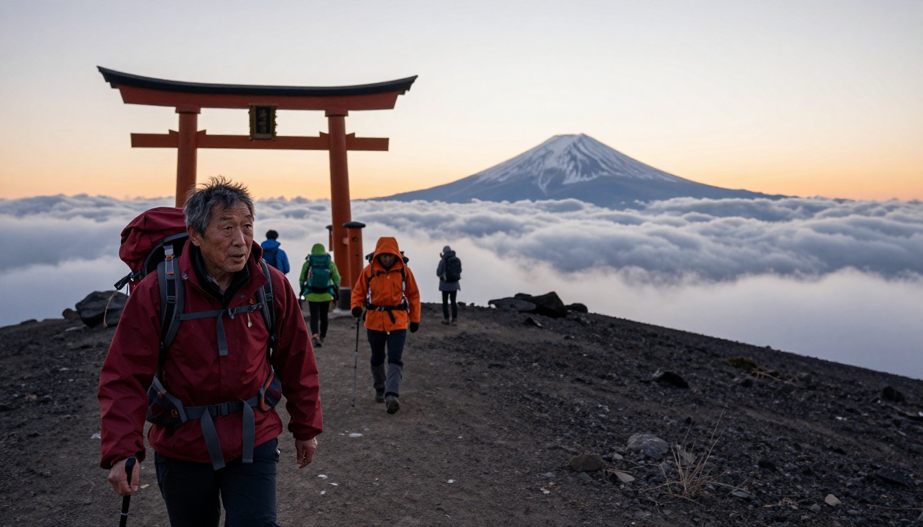
Mount Fuji is Japan's tallest mountain and a volcano. The Yoshida Trail is the most popular route. It is a walking route on volcanic gravel and rock, with a few chained sections. You do not need climbing skills. Most people start in the afternoon, sleep for a few hours in a hut, then climb the rest by headlamp to reach the top for sunrise.
The mountain is only officially open to climbers for a short season in summer. Outside it, huts, first-aid stations and other services are closed, and conditions are far more dangerous. The official climbing site says this clearly.
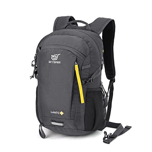
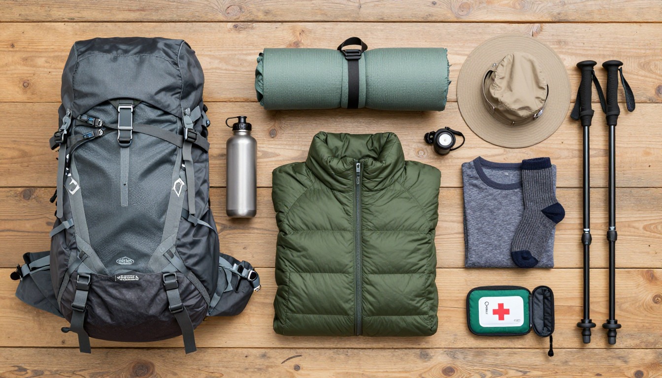
Your pack should be small and warm. Even in summer it is cold and windy at the summit, and you may stand still for a long time waiting for sunrise. Waterproofs, layers, gloves, a hat, a headlamp and some snacks matter more than large capacity.
What the hike is like
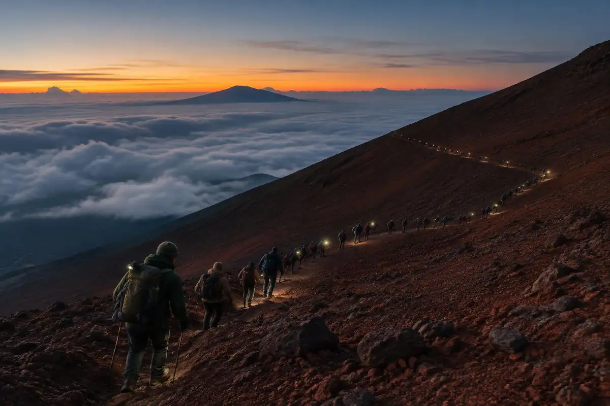
The Yoshida Trail starts deceptively, contouring almost level away from the 5th Station before it turns uphill for good. From there it is switchbacks on red volcanic gravel, gradually steepening, with mountain huts appearing at intervals like rungs on a ladder. Higher up the gravel gives way to rockier ground and short scrambly steps where chains and ropes are fixed to help hold the line, and the switchbacks tighten and slow as the trail funnels climbers together. Near the top it is congestion rather than gradient that often sets the pace. The descent uses a separate trail, and the surface is a completely different proposition: long, monotonous zigzags down deep, loose volcanic gravel with no rock to brace against and nothing much to break up the rhythm.
How to plan the itinerary
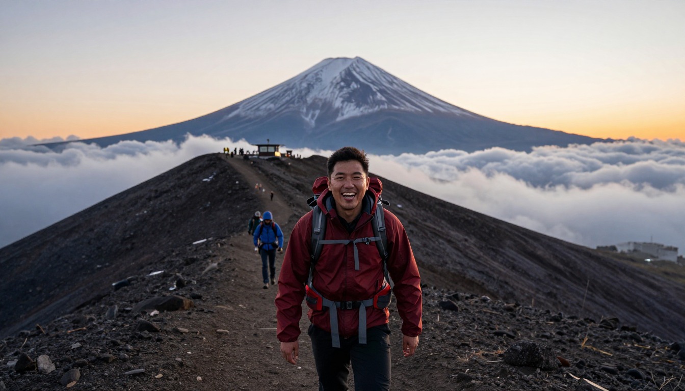
The common plan is a hut climb. Start from the 5th Station in the afternoon, climb a few hours to a hut among the upper stations, sleep for part of the night, then wake in the small hours to finish by headlamp and reach the crater rim for sunrise. It is not much rest, but it splits the altitude gain across two efforts and is the reason the huts exist at all. The alternative, climbing straight through the night without a hut, is generally advised against because it means arriving cold, tired, and unacclimatized at the top. After sunrise, most people walk part of the crater rim and then take the separate descent trail all the way down, which is faster than the climb but long and punishing on the legs. A night in a town at the base before and after is standard.
Plan this trip in 5 steps
-
Pick the right pack
Match a pack to your trip, fit and priorities.
-
Plan food & water
Calories, food weight and water for your days on trail.
-
Estimate your time
Pre-filled with this trail’s distance and climb — adjust for your pace.
Trail-specific tips
Budget far more time than the profile suggests for the final stretch, because the trail bottlenecks near the top and you will move at the crowd's pace, standing still in the cold. Layers matter enormously, since summit conditions bear no resemblance to the 5th Station and waiting for sunrise is the coldest part of the trip. The descent trail's deep gravel eats ankles and fills shoes, so gaiters and poles both earn their place. Spend a while at the 5th Station before setting off rather than starting straight off the bus. As of September 2026 the official climbing season has ended (it closed on September 10): the trail above the 5th Station is closed and the huts and first-aid stations are shut until next season, and climbing off-season is extremely dangerous. Check the official Mt. Fuji climbing site for next year's season dates, reservation system and fees. General altitude advice is at /trail-smarts/.
Permits & rules
Climb only in the official season, when huts and facilities are open. As of September 2026 the season has ended and the trails above the 5th station and the huts are closed; climbing outside the season is dangerous. In season, climbers without a hut reservation are not allowed on the trail between roughly 2 PM and 3 AM. the Yoshida Trail now has a trail-access reservation/fee system and daily limits, so check current rules. Altitude and cold are real even on this busy route.
Gear suited to this hike
Matched to the terrain and conditions here. Real products — check current price on Amazon.


Season, closures and rules
The official Mt. Fuji climbing site states that the 2026 climbing season ended on September 10 and that the Yoshida, Subashiri and Gotemba trails are closed from the 5th station upward off-season.1 It warns that climbing outside the season is extremely dangerous because first-aid stations and mountain huts are closed, mobile phone service is limited and weather is severe.1 The site also mentions a hiking fee, a reservation system for the Yoshida Trail and a payment app; amounts are not covered here because they change.1
So, if you are reading this after the season closed, the answer to whether you should attempt the summit is no. Next year, check the site for the season dates, the reservation system and the fee before you plan.
Altitude and the hut night
The CDC Yellow Book says any unacclimatized person sleeping at 8,000 ft or above is at risk of altitude illness, and physical fitness does not protect against it.2 Fuji's summit is well above that, and the standard hut-based climb compresses the ascent into hours. Headache is the main symptom and typically starts 2 to 12 hours after arrival; symptoms ease rapidly with a descent of 1,000 ft or more.2 This is general information; see a doctor before you go and get medical help if symptoms worsen.
Cold, crowds, storms and light
Standing in a queue in the dark is where people get cold. The CDC says hypothermia can develop above 40°F if you are chilled by rain, wind or sweat.4 The NPS advises wool or synthetic layers and warns that wet cotton will not keep you warm.5 Dress for standing around, not for walking.
The National Weather Service advises that in mountains thunderstorms often build in the early afternoon, so hikers should be off exposed ground early, and that a tent offers no protection from lightning.3 That matters for anyone starting the climb in the afternoon and planning to sleep in a hut. Headlamps, the recommended hands-free light source, are essential.6
Loose gravel on the way down
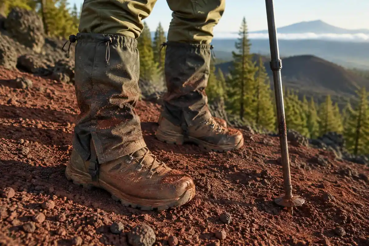
The descent trail is long, soft and unrelenting. Gaiters seal around footwear to keep dirt, dust and rocks out,7 which suits deep volcanic gravel. Poles help too: a study on a steep ramp found knee compressive and shear forces fell by 12 to 25% with poles.8 Because energy cost rises with load, keeping the pack light also spares the legs.9
Common questions
Do you need a hut, or can you climb straight through the night?
You can physically do it in one push, but it is generally advised against. Climbing through the night without rest means arriving at the summit exhausted, badly acclimatized, and very cold while waiting for sunrise. The hut stay exists to break the ascent in two and is the approach most guides recommend.
Is the Yoshida Trail technically difficult?
No. It is a walking route on gravel and rock with a few short, chained sections where the ground steepens, and no climbing skill is required. The difficulty is in the sustained gradient, the altitude, the cold at the top, and the sheer number of people on the trail during the short season.
Why do people complain about the descent?
Because it is long, featureless, and on deep loose gravel. The separate descent trail zigzags down soft volcanic sand that slides underfoot, offers no view to distract you, and hammers ankles and knees. Many climbers find it the least enjoyable part of the whole trip despite being much faster than the climb.
How much does the crowding affect your timing?
Substantially, especially on weekends and in the pre-dawn hours when everyone is aiming for the same sunrise. The upper switchbacks narrow and queues form, so you can spend long periods barely moving. Plan to reach the rim earlier than you think necessary, and dress for standing around rather than for walking.
Complete gearsets for this trip
Full curated kits built for exactly this kind of hike.

Trail conditions, permits and access rules change without notice — always confirm current information on the official source above before you go. Some facts on this page are still pending owner verification and are marked accordingly. Product links and the accommodation map are affiliate links: we may earn a commission at no extra cost to you; product prices and availability are shown on Amazon, and accommodation prices on the booking site. See our affiliate disclosure.