
Affiliate disclosure: this page contains affiliate links. Purchases made through them may earn us a commission at no extra cost to you. See our affiliate disclosure.
In plain English
This page covers two separate mountain days in England's Lake District. Striding Edge is a narrow rocky ridge leading to Helvellyn. You use your hands, a bit like climbing along the top of a very long garden wall with steep slopes on both sides. Scafell Pike is England's highest mountain, and the path up it is a long, rough climb over rocks.
Neither needs a permit. The weather is the big thing. Clouds often sit on the tops, and in cloud, the path on Scafell Pike's rocky summit is hard to see. That's why people carry a map and compass and know how to use them.
Bring a small backpack that sits snugly, with water, food, a warm layer and a rain jacket. Pick a clear, calm, dry day for Striding Edge, and be willing to turn back.
What the hike is like
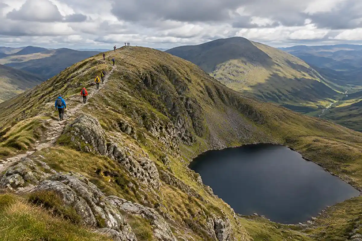
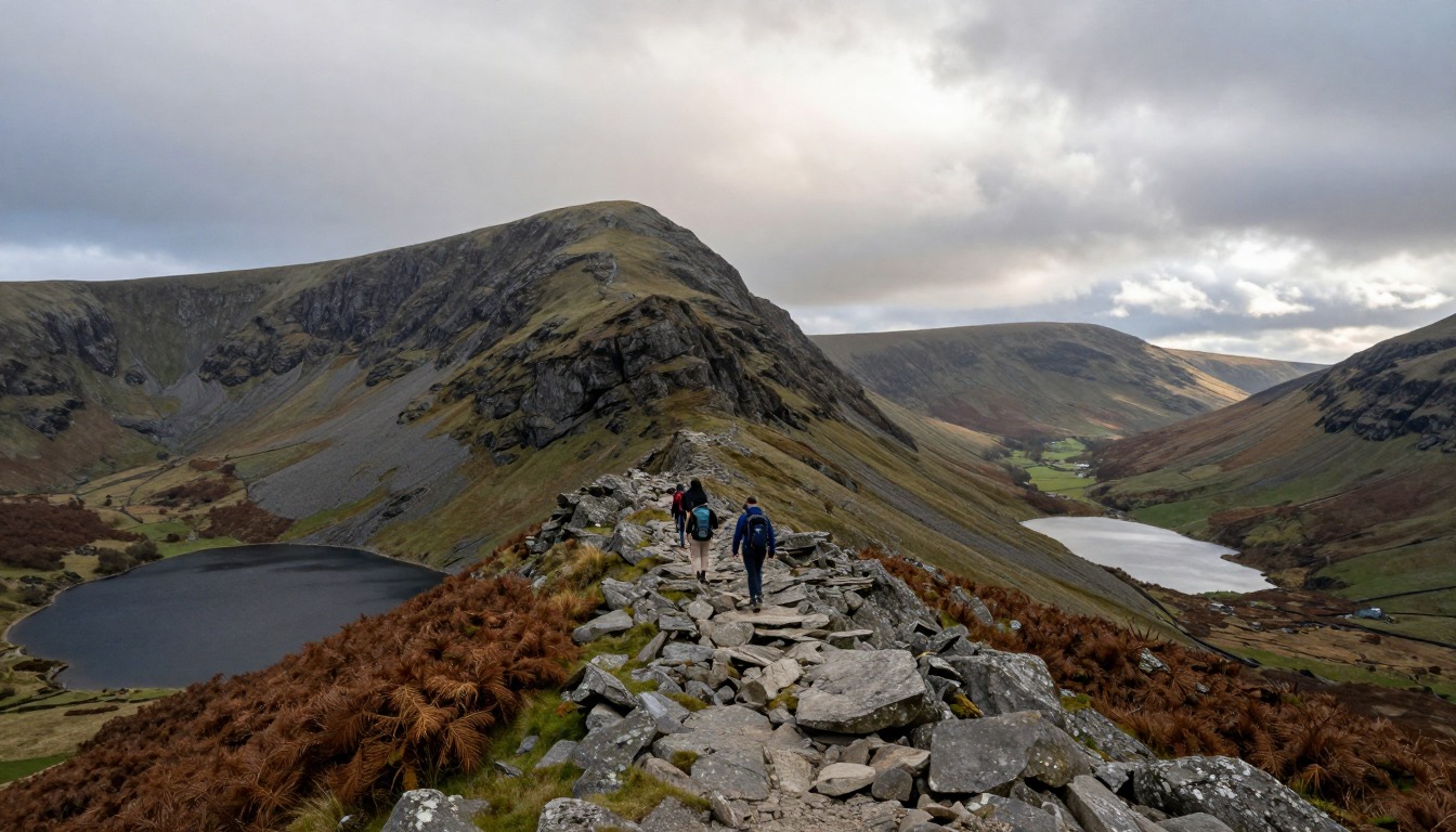
These are two different kinds of walking that happen to share a national park. From Glenridding or Patterdale, the Helvellyn route climbs steadily on good path before the ground narrows into Striding Edge — a rock arête where you move along or just below a crest, hands on rock, with the fell dropping away on both sides. Near its far end a short downclimb through a rocky step catches out people who were fine until then, and beyond it a steep final pull lands you on Helvellyn's broad, flat summit; Swirral Edge is the usual way off. Scafell Pike is a grind rather than a scramble: rough, relentless, boulder-strewn ascent from Wasdale, or a longer approach from Seathwaite, finishing on a summit plateau of loose rock and cairns where a clear path more or less stops existing.
How to plan the itinerary
These are separate days, not a single outing, and most people spread them across a long weekend from a valley base. Helvellyn is typically walked as a round — up Striding Edge and down Swirral Edge, or the reverse for anyone who would rather ascend the less exposed side — starting from Glenridding or Patterdale and getting back to the same car. Scafell Pike is usually a full day from Wasdale for the direct route, or from Seathwaite for the longer, more scenic approach. Neither valley is quick to reach on narrow Cumbrian roads, so hikers basing in Keswick or Ambleside for the wider choice of beds should count the drive as part of the day. An early start matters for parking as much as for daylight.
Plan this trip in 5 steps
-
Pick the right pack
Match a pack to your trip, fit and priorities.
-
Book a place to stay
Campgrounds, huts and lodges near Lake District — Striding Edge & Scafell Pike.
-
Plan food & water
Calories, food weight and water for your days on trail.
-
Estimate your time
Pre-filled with this trail’s distance and climb — adjust for your pace.
Trail-specific tips
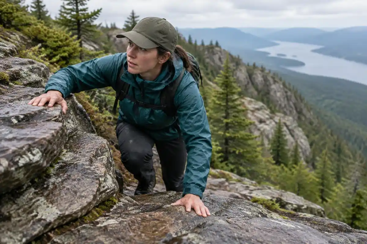
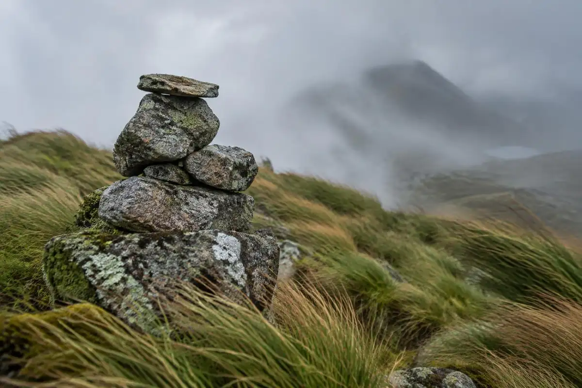
Striding Edge is a scramble, not a windy footpath, and wet rock, strong gusts or any ice change it completely — that combination, not the height, is what catches people out. The awkward downclimb near the end is where nervous walkers stall, so look at photographs of it beforehand and decide honestly. On Scafell Pike the real hazard is the summit plateau in cloud: the ground is boulders and cairns, the path fades, and people descend the wrong way. Carry a map and compass and know your bearing. General navigation practice lives on /trail-smarts/.
Permits & rules
No permit is needed. Striding Edge is a genuine exposed scramble that has caught out many walkers — attempt it only in good conditions with a head for heights, and pick a clear day for Scafell Pike’s rough, cloud-prone summit.
Gear suited to this hike
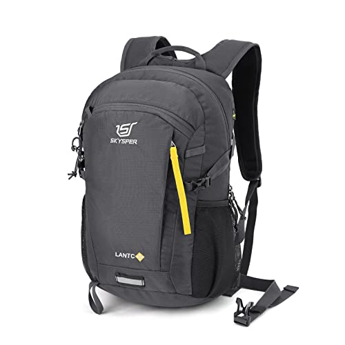
Matched to the terrain and conditions here. Real products — check current price on Amazon.


Timing two very different days
Naismith's classic rule, one hour per three miles plus one hour per 2,000 feet of climb,1 puts the roughly 8-mile, 3,100-foot Helvellyn loop at about 4.2 hours of moving time, and Scafell Pike from Wasdale (about 6 miles, 3,245 feet) at about 3.6 hours. Mountaineering Scotland's slower UK-hill variant of 4 km/h plus one minute per 10 m of ascent5 gives about 4.8 and 4.1 hours. Neither formula accounts for a scramble, where progress can drop to a crawl in a queue or in wind.
Mountaineering Scotland also notes that walking speed depends on fitness, pack weight, wind, ground conditions and slope.5 Striding Edge and Scafell's boulder field are the kind of ground where that caveat bites. The US National Park Service advises setting a turnaround time and sticking to it.6
Navigation on a plateau of cairns
This page flags Scafell Pike's summit in cloud as the real hazard. Phone navigation is not a complete answer: the US National Park Service warns that GPS units can be inaccurate in mountain terrain and that base maps can show misdirected trails.2 A map and compass are the backup, and the bearing off the summit is worth working out before you arrive in fog. Magnetic declination, the angle between magnetic north and true north, changes with location and over time, so check a current value.7
If you are lost, general search-and-rescue advice is to stay put unless there is an immediate threat, use a whistle rather than shouting, and signal with a light using three quick, three slow, three quick flashes.8 The Lake District National Park Authority's site has dedicated walking and wild camping sections, which are the place to check local guidance before you go.9
Rock, weather and the pack
Exposed ridges are the worst place in a thunderstorm. NWS advises avoiding hilltops and ridge tops, being off high ground early because mountain storms often build in the early afternoon, and waiting 30 minutes after the last thunder before returning to exposed ground.3 Wind and wet rock are the more common problems, and hypothermia is possible even above 40°F when you are chilled by rain.10
On the scramble, stow poles and keep the pack tight; compression straps stop the load shifting and hold it close to your body.11 Use the poles again on the descents: on a steep downhill ramp they cut knee forces by 12–25%.4 In winter both routes become mountaineering outings. Traction products such as MICROspikes are designed for icy packed snow,12 which is not the same as steep winter ground on an arête.
Common questions
Is Striding Edge a walk or a scramble?
A scramble. You use your hands, the crest is narrow with steep ground on both flanks, and there is a short downclimb near the far end. It requires no ropes or technical skill, but it does require a head for exposure and dry, calm conditions. It has genuinely caught out walkers who assumed it was just a path.
Can I reach Helvellyn's summit without Striding Edge?
Yes. Several straightforward walking routes reach the summit plateau without any scrambling, approaching from other sides of the fell. Swirral Edge is easier than Striding Edge but still a scramble. If exposure isn't for you, take one of the walking lines up — the summit view is the same one everyone else gets.
Which route up Scafell Pike should I choose?
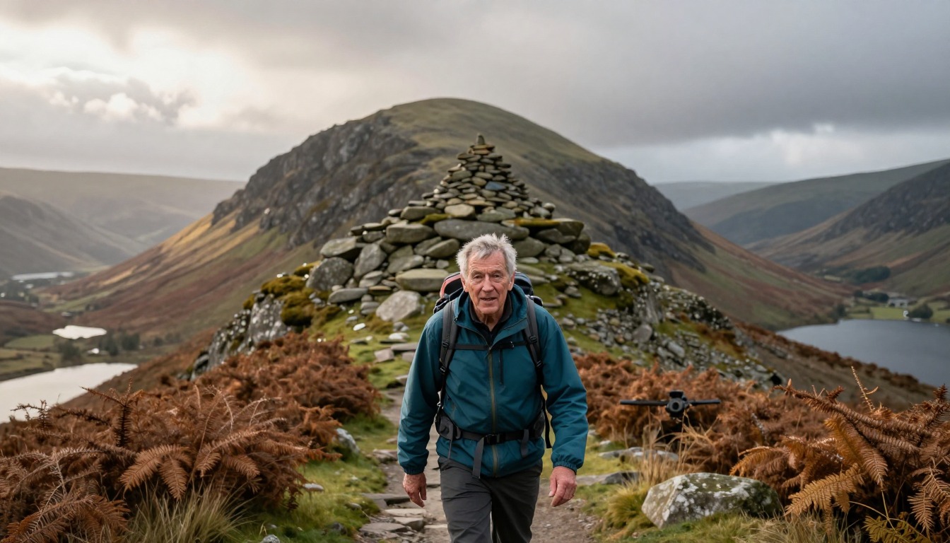
The Wasdale approach is the most direct and the most commonly used, a steep, rough climb with no real respite. The Seathwaite side gives a longer, more varied day with better scenery. Both finish on the same boulder-strewn summit, and both demand navigation ability in cloud, which is common on England's highest ground.
Could I do both in one day?
In practice, no — they sit in different valleys connected by slow, winding roads, and each is a substantial day out on its own. Attempting both means rushing two serious fells and driving between them tired. Treating them as two days from one base is the sensible way to enjoy either.
Complete gearsets for this trip
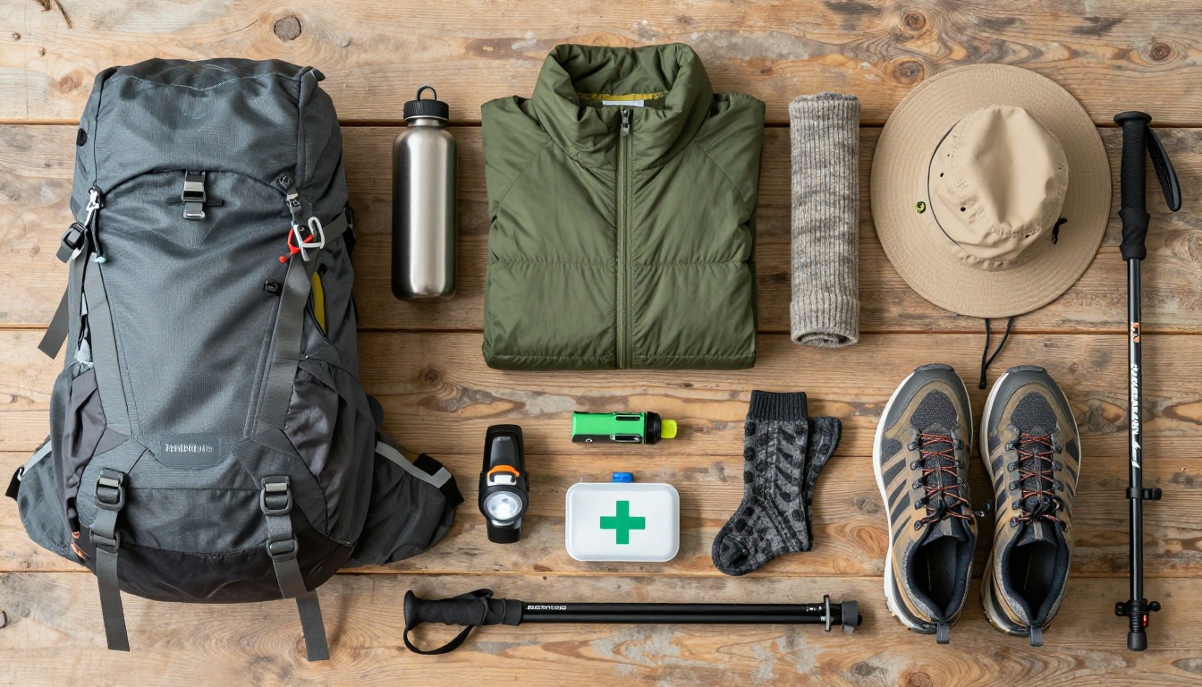
Full curated kits built for exactly this kind of hike.

Trail conditions, permits and access rules change without notice — always confirm current information on the official source above before you go. Some facts on this page are still pending owner verification and are marked accordingly. Product links and the accommodation map are affiliate links: we may earn a commission at no extra cost to you; product prices and availability are shown on Amazon, and accommodation prices on the booking site. See our affiliate disclosure.