
Affiliate disclosure: this page contains affiliate links. Purchases made through them may earn us a commission at no extra cost to you. See our affiliate disclosure.
In plain English
Kjeragbolten is a round boulder jammed in a crack high above a fjord in southwest Norway. The walk to it goes up and down three big humps of smooth rock, so you climb, drop, climb again, and do the same in reverse on the way back.
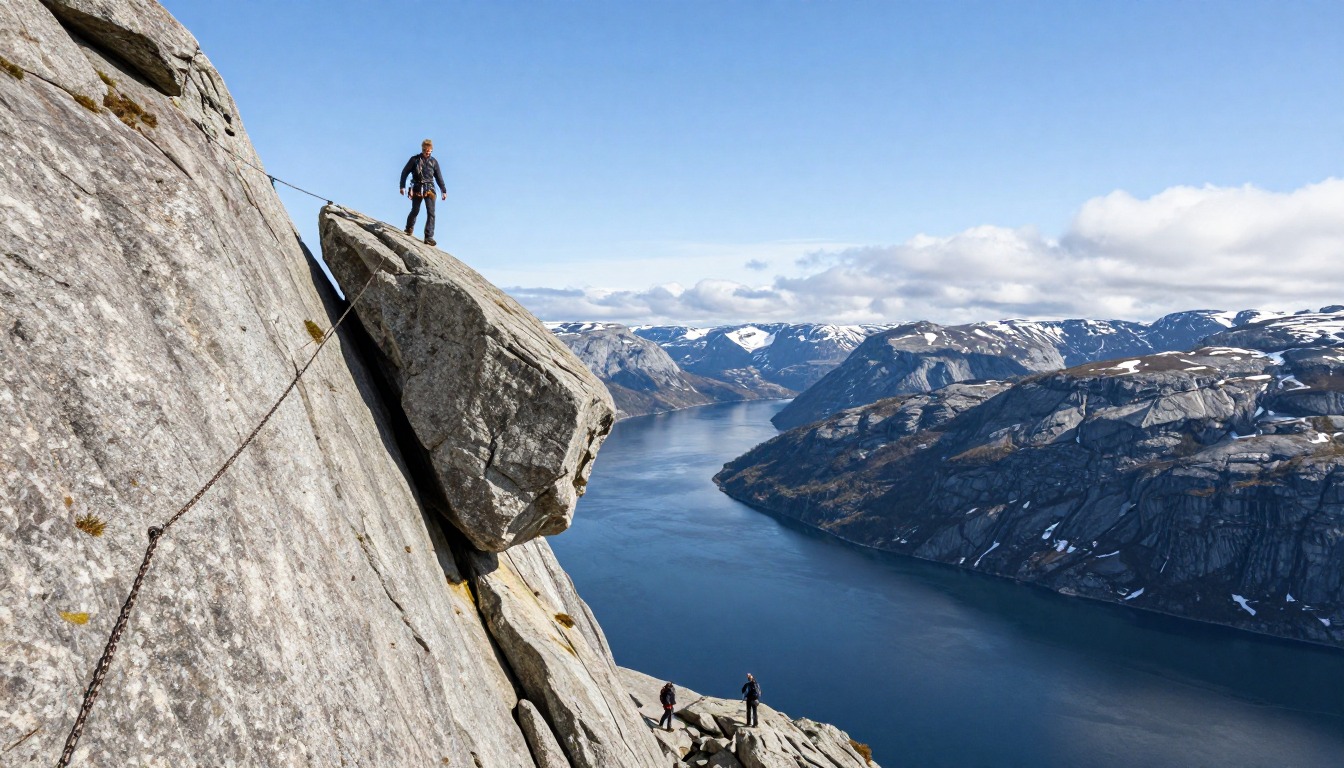
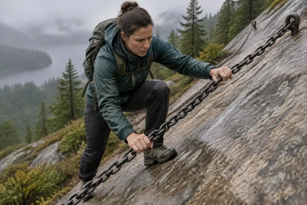
On the steepest slabs there are chains fixed to the rock. You hold them like a banister on a very steep staircase. You don't need climbing gear, but gloves make gripping the cold chains much nicer.
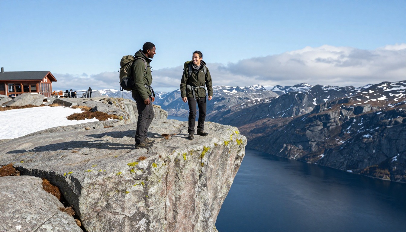
The rock is grippy when dry and slippery when wet, and fog can arrive quickly. Pick a dry day, start early, and bring a small backpack with water, food, a warm layer and a rain jacket. Stepping onto the boulder is optional; reaching the viewpoint is the whole hike.
What the hike is like
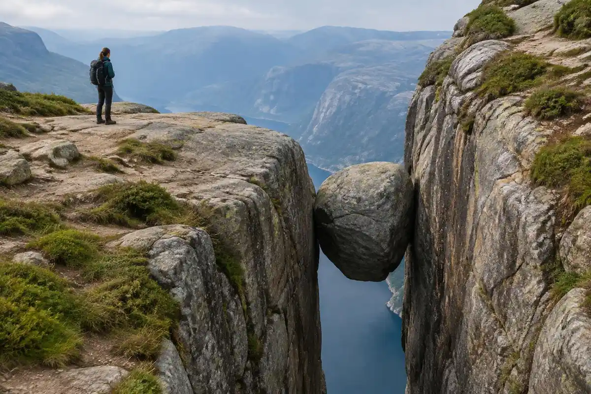
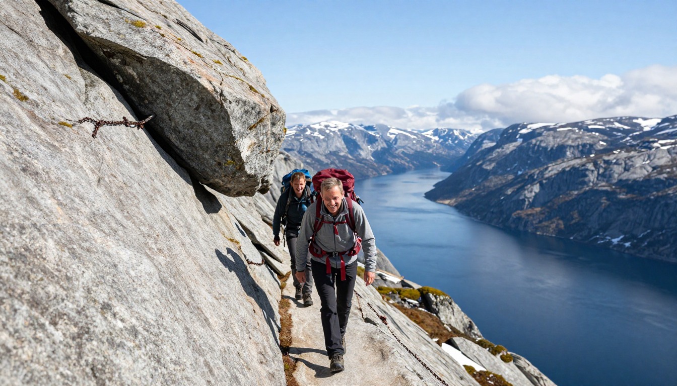
From the Øygardstøl trailhead the route is a sawtooth rather than a climb: three distinct ascents separated by two descents into the valleys between them, so you gain height, give it back, and gain it again. The surface is smooth, rounded granite for much of the way, with chains bolted into the steepest slabs where there is nothing to hold onto otherwise — hauling on them is normal here, not a sign you're off route. Between the steep sections the walking crosses open rock, low scrub and boggy ground, marked with painted T's and cairns rather than a worn path. The final stretch runs out along a broad rock plateau to the chasm where the boulder sits wedged between two walls, with a short step down to reach it.
How to plan the itinerary
This is a day hike, done out and back from Øygardstøl, and the main scheduling constraint is access rather than fitness — the mountain road is seasonal, and the ferry route in from the fjord runs on its own timetable. Most hikers sleep nearby the night before, either at the trailhead area, down in Lysebotn if they're arriving by water, or further out in the Stavanger region, and set off early enough to be back with daylight to spare. Because the route re-climbs everything it descends, the return takes comparable effort to the outward leg, which surprises people who assume the walk back is downhill. Some visitors combine it with a night in Lysebotn and travel out by fjord the following day rather than driving back over the mountain road the same evening.
Plan this trip in 5 steps
-
Pick the right pack
Match a pack to your trip, fit and priorities.
-
Plan food & water
Calories, food weight and water for your days on trail.
-
Estimate your time
Pre-filled with this trail’s distance and climb — adjust for your pace.
Trail-specific tips
Check that both the mountain road and any ferry connection are actually open before you commit to a date — access is the thing that cancels this hike, not fatigue. The granite is superb underfoot when dry and genuinely treacherous when wet, so rain changes the calculation on the chain sections considerably. Gloves make the chains far more comfortable. Fog rolls in fast up here and the cairned line across open rock is easy to lose in it. Budget for the return climbs, and see /trail-smarts/ for general mountain-weather judgment.
Permits & rules
No permit is needed. Reaching the boulder involves steep, chain-assisted climbs over bare rock; only step onto Kjeragbolten if you are sure-footed and the rock is dry — the drop beneath it is enormous.
Gear suited to this hike
Matched to the terrain and conditions here. Real products — check current price on Amazon.


Why the return is as hard as the way out
The route climbs roughly 800 m in total over about 11 km, spread across three separate ascents. Because the walk is out and back over the same humps, the return re-climbs what you descended. Naismith's classic rule of one hour per three miles plus one hour per 2,000 feet of climb1 gives about 3.6 hours of moving time; Mountaineering Scotland's slower 4 km/h plus one minute per 10 m variant5 gives about 4.1 hours. Chain sections are slower than either formula assumes.
The US National Park Service suggests planning uphill sections to take at least double the downhill time and setting a turnaround time you stick to.6 Here that means budgeting real energy for the last climb back to Øygardstøl.
Granite, fog and storms
Visit Norway lists Kjerag among Norway's best hikes and says National Hiking Trail status is meant to make these routes last.2 The upgrades don't change the key hazards: wet granite, fog and exposure.
Navigation relies on cairns and painted markers over open rock. The US National Park Service warns GPS and base maps can be inaccurate in mountain terrain,3 so it helps to carry a map and note the line on the way out. If you get lost, general advice is to stay put unless there is an immediate threat, and to use a whistle rather than shouting.7
On bare, high rock, lightning is a real hazard. NWS advises avoiding hilltops and ridge tops, being off high ground early because mountain storms often build in the early afternoon, and waiting 30 minutes after the last thunder before returning to exposed ground.4
Setting up the pack for chains
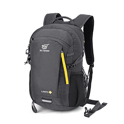
On the chain sections your hands are busy and your body leans into the slab, so a loose pack pulls you backward. Compression straps keep the internal load from shifting and hold it close to your body,8 and a hip belt should be used whenever possible to take pressure off the shoulders.9 A 20–30 L daypack with a snug fit is the right tool.
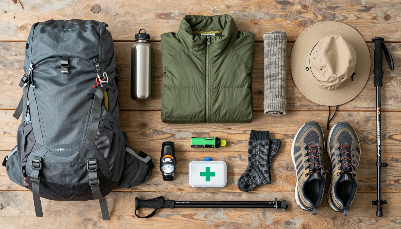
Poles help on the descents between chains; on a steep downhill ramp they cut knee forces by 12–25%.10 Strap them to the pack before each chain. Gloves, a warm layer and a waterproof shell are worth their space even on a sunny forecast.
Common questions
Do I have to stand on the boulder?
Not at all, and many hikers don't. Reaching the chasm and looking down at it from the surrounding rock is the hike; stepping onto the boulder itself is an optional extra that depends entirely on your nerve and on the rock being completely dry. Choosing to skip it is a reasonable decision, not a failed trip.
Do I need climbing gear or via ferrata equipment?
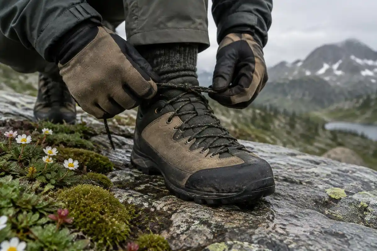
No. The chains are hand-lines bolted to the rock to help you up and down steep slabs, not a via ferrata system, and no harness or hardware is used. What you do need is sure footing, decent boots and comfort with steep, exposed ground. Gloves are a small addition that makes the chain sections much less punishing on the hands.
What happens if it rains?
Wet granite loses grip quickly, which affects both the chain-assisted slabs and the general rock walking. Fog also reduces visibility on a route that relies on cairns and painted markers across open rock. Many hikers postpone rather than push through, and stepping onto the boulder in wet conditions is widely considered a bad idea.
Is Kjeragbolten suitable for children?
It suits fit, confident older children who are already comfortable scrambling on rock with drops nearby, and who can manage a strenuous full day with repeated climbs. The chain sections and the open exposure near the chasm are not places for a distracted or nervous walker. Younger children are better served elsewhere in the region.
Complete gearsets for this trip
Full curated kits built for exactly this kind of hike.

Trail conditions, permits and access rules change without notice — always confirm current information on the official source above before you go. Some facts on this page are still pending owner verification and are marked accordingly. Product links and the accommodation map are affiliate links: we may earn a commission at no extra cost to you; product prices and availability are shown on Amazon, and accommodation prices on the booking site. See our affiliate disclosure.