
Affiliate disclosure: this page contains affiliate links. Purchases made through them may earn us a commission at no extra cost to you. See our affiliate disclosure.
In plain English
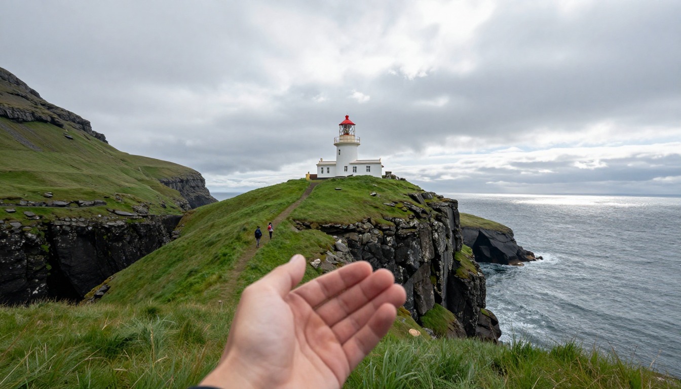
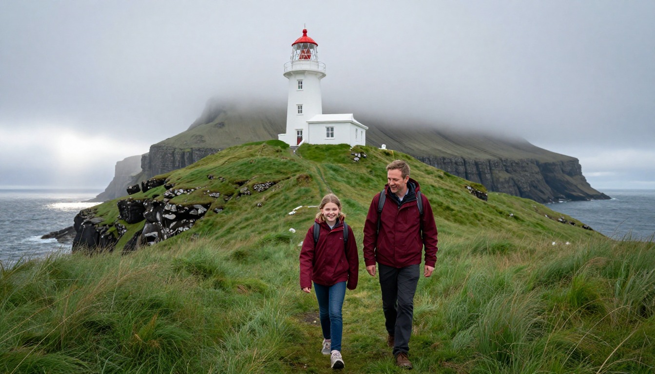
Kallur is a small white lighthouse at the northern tip of Kalsoy, a long, thin island in the Faroe Islands, which sit in the North Atlantic between Scotland and Iceland. The walk up to it is short, but it climbs steeply over grass, not a built path, and ends on a narrow grassy ridge with sea cliffs on both sides.
Most of the day is getting there: a car ferry to the island, then a drive through narrow tunnels, and the same in reverse. Think of the hike as the filling in a sandwich of travel.
Wear shoes or boots with good grip, because wet grass on a slope is like a slide. Bring a rain jacket and a warm layer. If fog or strong wind comes in, stopping short of the edge is the smart choice.
What the hike is like
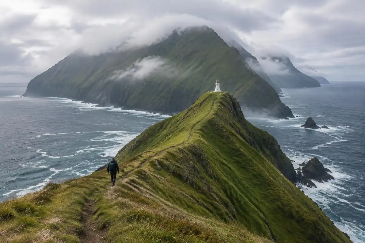
The walk leaves Trøllanes across grazing land, through gates you close behind you, and almost immediately starts climbing on grass rather than on any constructed path. There is very little built trail here — you follow sheep tracks, worn lines through turf and boggy patches that hold water long after rain, with rock showing through where the ground has been scuffed bare. The gradient is steep enough that you gain height quickly, and the character changes as the land narrows: the final approach runs along a grassy spine with the Atlantic falling away on both sides at once, unfenced, with the small white lighthouse sitting on a headland ahead. Beyond the lighthouse the crest narrows further and steepens, which is where the walk stops being merely airy and starts demanding real caution.
How to plan the itinerary
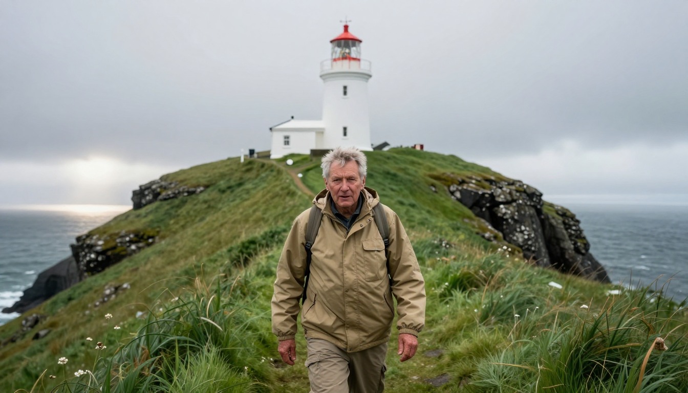
In pure walking terms this is a short outing, so the day is dominated by logistics rather than by the trail. The usual pattern is to sleep in Klaksvík or Tórshavn, take a car ferry across to Kalsoy in the morning, drive the length of the island through its single-lane tunnels to Trøllanes, walk up to the lighthouse, and ride a later ferry back. Because ferry capacity and timing are limited, most people plan the whole day backward from the crossings rather than around the hike itself, and leave a comfortable buffer at the end. Some visitors combine the walk with the rest of the island in one trip, since there is little else to fill a full day up there. Weather regularly dictates whether the walk happens at all.
Plan this trip in 5 steps
-
Pick the right pack
Match a pack to your trip, fit and priorities.
-
Plan food & water
Calories, food weight and water for your days on trail.
-
Estimate your time
Pre-filled with this trail’s distance and climb — adjust for your pace.
Trail-specific tips
Wet grass on a steep slope is slicker than most people anticipate, so boots with real tread beat sneakers by a wide margin here — both going up and, more importantly, coming down. The spine to the lighthouse is unfenced and there is nothing between you and the sea cliffs, so fog or strong wind is a good reason to stop short rather than push on. Kalsoy's tunnels are single-lane with passing places and need patience. Access arrangements on Faroese land can change, so confirm current status locally, and see /trail-smarts/ for general clifftop caution.
Permits & rules
No permit is required, though access arrangements and any landowner fee for the Kallur hike can change — check current rules and the Kalsoy ferry timetable before you go. The clifftops are unfenced and slippery when wet.
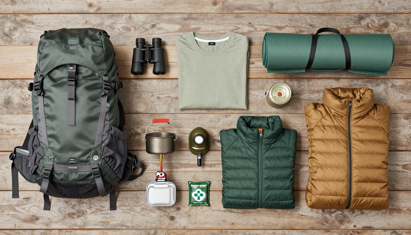
Gear suited to this hike
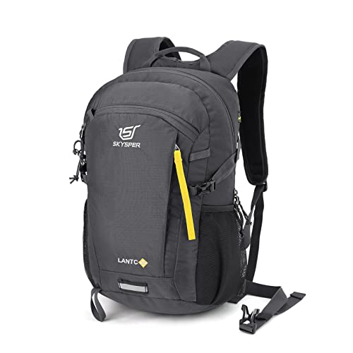
Matched to the terrain and conditions here. Real products — check current price on Amazon.


Fees, access and what the official site covers
Visit Faroe Islands, the official tourism site, has a dedicated hiking-fees section and a guide to safe hiking.1 As this page notes, access arrangements on Faroese farmland, including any fee for Kallur, are set locally and can change, so check current rules before you go. The homepage itself does not state a fee or rule for Kallur, so treat any figure you read elsewhere as something to confirm on the day.
Timing is set by the ferry. The walking itself is modest: about 5 km round trip with roughly 400 m of climb works out to about 1.7 hours of moving time by Naismith's classic rule of one hour per three miles plus one hour per 2,000 feet.2 Budget much more for photos, a careful descent and weather waits.
Grass, wind and cliffs
The hazard on Kallur is not height gain but footing. Wet turf on a steep slope is slick, and the descent is where people slide. On a steep downhill ramp, hiking poles lowered knee compressive and shear forces by 12–25%,3 and they also give you two extra points of contact. A hiking shoe should give stability on uneven ground,5 and lugged soles matter far more here than on a paved path.
Wind and fog change the calculation near the unfenced crest. If you lose visibility, general search-and-rescue advice is to stop rather than wander, since moving makes you harder to find, and to use a whistle rather than shouting.6
Dressing for North Atlantic weather
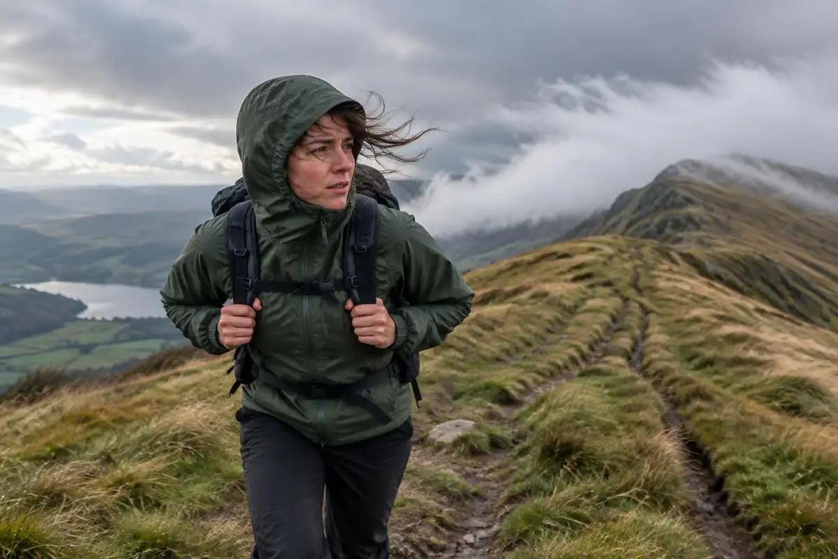
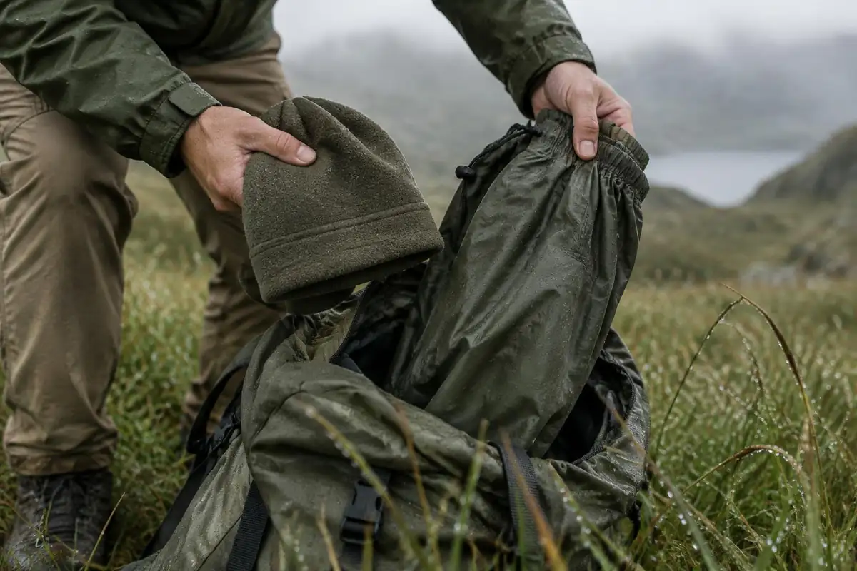
Temperatures here are rarely extreme, but rain and wind are routine, and that combination drives chilling. CDC notes hypothermia can develop even above 40°F when someone is chilled by rain, sweat or cold water.4 The standard answer is layers: a base layer that wicks moisture, an insulating middle layer and an outer layer that blocks wind and rain.7
For the shell, waterproofness is rated by hydrostatic head, the height of a water column the fabric resists; if water breaks through at 1 meter, the rating is 1,000 mm.8 Wind-driven rain tests seams and zips as much as fabric. Cotton is a poor choice because it holds moisture next to the skin.9
Common questions
If the walk is short, why do people say it takes a whole day?
Because the walking is the small part. Getting to Kalsoy means a ferry crossing with limited capacity, then a drive up the island through narrow single-lane tunnels to Trøllanes, and the same again in reverse. Most visitors plan around the sailing times and treat the walk as the part that fits between them.
Do I need a guide?
Most walkers go independently in clear conditions, since the line up from the village is short and obvious. A guide becomes more appealing in poor visibility or if you are uneasy about unfenced clifftop ground. Access arrangements on Faroese farmland vary and occasionally change, so checking the current situation locally before you set off is sensible either way.
How dangerous is the ground near the lighthouse?
The path runs along an unfenced grassy crest with sea cliffs on both sides, and the turf becomes slippery in the rain and wind that are routine here. Staying back from the edges, avoiding the narrower crest beyond the lighthouse unless conditions are excellent, and being willing to turn around are the sensible habits on this walk.
Is there a best time of day to go?
Going earlier in the day leaves margin for the return ferry and gives you options if the weather deteriorates. In the long-daylight months the light late in the evening is exceptional on this headland, but that only works if the sailing schedule supports it. Either way, decide by forecast and ferry timetable rather than by preference.
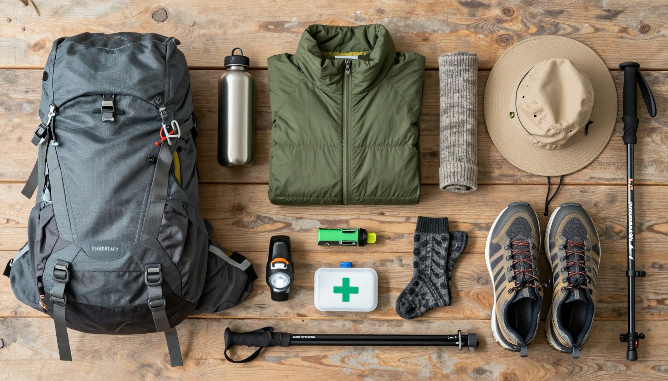
Complete gearsets for this trip
Full curated kits built for exactly this kind of hike.
Trail conditions, permits and access rules change without notice — always confirm current information on the official source above before you go. Some facts on this page are still pending owner verification and are marked accordingly. Product links and the accommodation map are affiliate links: we may earn a commission at no extra cost to you; product prices and availability are shown on Amazon, and accommodation prices on the booking site. See our affiliate disclosure.