
Affiliate disclosure: this page contains affiliate links. Purchases made through them may earn us a commission at no extra cost to you. See our affiliate disclosure.
In plain English
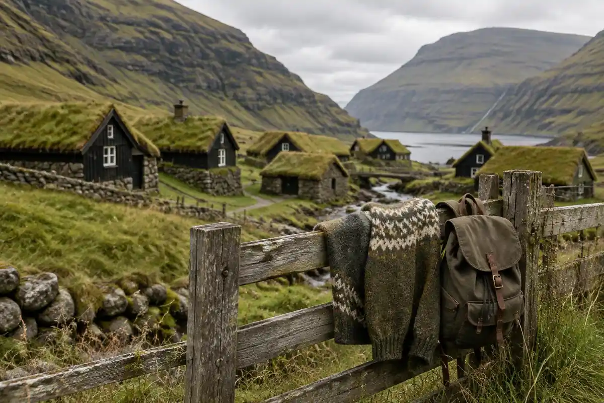
The walk to Kallur Lighthouse is short but steep and very exposed, so the trip is really about where you sleep and how you get to the island. Kalsoy is small, and you reach it by ferry. Most visitors sleep in a bigger town and cross for the day.
If you want to camp, the rules in the Faroe Islands are stricter than many people expect. The official tourist board says you may only camp at marked campsites. There is no open land where you can put a tent wherever you like. Doing it anyway is illegal and can mean a fine.
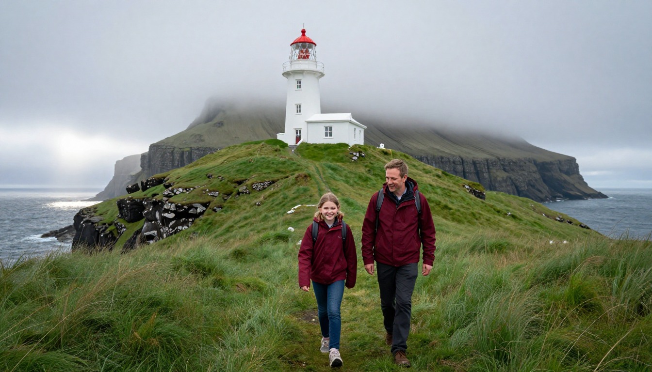
The weather is the other big factor. It changes quickly, fog can hide the path, and the cliffs have no fences. The tourist board asks walkers to go with a companion, stay on the path and tell the person who hosts them where they are going. It is like leaving a note on the fridge, but for a mountain.
The walk to Kallur Lighthouse climbs out of Trøllanes, Kalsoy's northernmost village, onto a narrow spine of grass above the Faroe Islands' sea cliffs — short in distance, but steep, exposed, and unforgettable at the top. Kalsoy itself is tiny and reached only by car ferry, with just a handful of guesthouse rooms in its villages, so almost everyone sleeping over bases in Klaksvík, the ferry port, or the capital, Tórshavn, and rides the ferry across for the day.
Why hike here
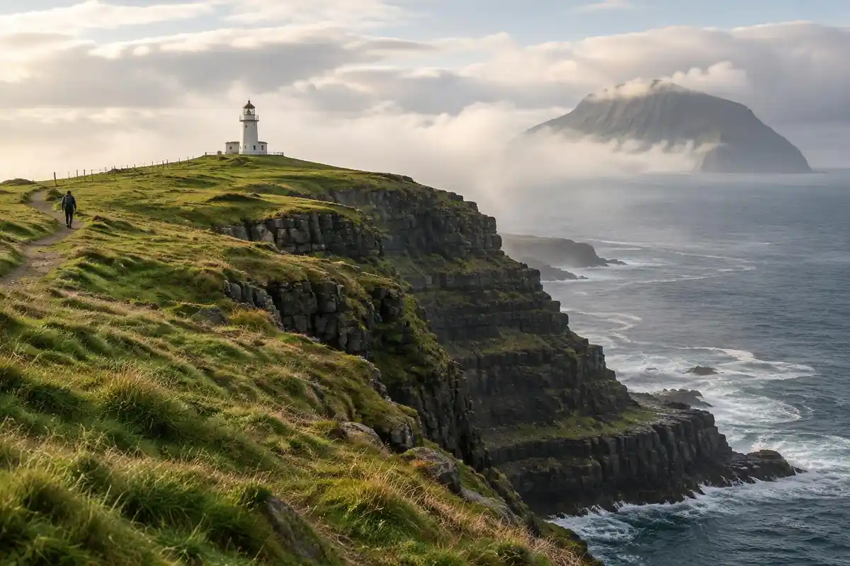
Kalsoy's nickname is "the flute" for the tunnels drilled through its ridges, and the walk to Kallur only adds to the strangeness of the place: a green path along a spine of land with the North Atlantic dropping away on both sides at once. There's no forest, no shelter, just grass, wind, sheep, and a small white lighthouse perched on a headland that looks impossibly narrow from a distance. On a clear day you can see other islands stacked across the water in every direction, and on a foggy one the cliffs simply vanish into white, which is its own kind of memorable. It's a short walk by distance, but the terrain and the drop-offs make it feel bigger than it is.
Getting there
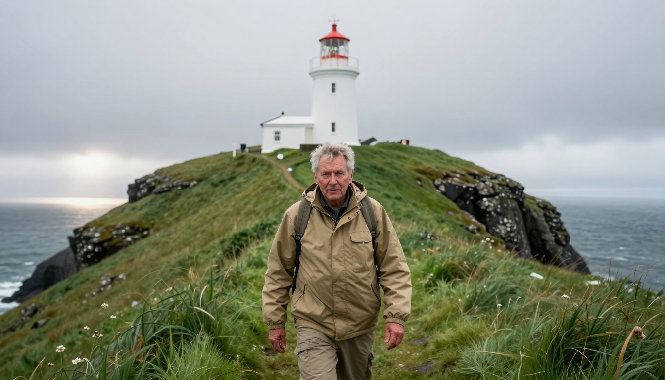
The standard route is a flight into Vágar, the Faroe Islands' only airport, followed by a transfer to Tórshavn or on to Klaksvík, the port town closest to Kalsoy. From there, a small car ferry crosses to Kalsoy itself, and the road up the island ends at Trøllanes, the village where the walk to Kallur begins. Ferry space and timing are limited, so hikers heading up island for the day typically plan around the schedule rather than around the hike, and treat the crossing as part of the day's logistics, not an afterthought.
Where to stay
The realistic options, closest-to-the-trail first. Book through the official links — we don't list prices or availability because they change all the time.
For example: Hotels, guesthouses and rentals in Klaksvík (ferry port) and the capital Tórshavn
Most visitors — Kalsoy is a tiny island reached by ferry.
Base in Klaksvík or Tórshavn; take the car ferry to Kalsoy for the day.
Nearby-town lodgingFor example: A very small number of guesthouse rooms in the island’s villages
Travelers who want to stay on Kalsoy itself.
Options are extremely limited; book ahead and confirm ferry times.
Island lodging (official info)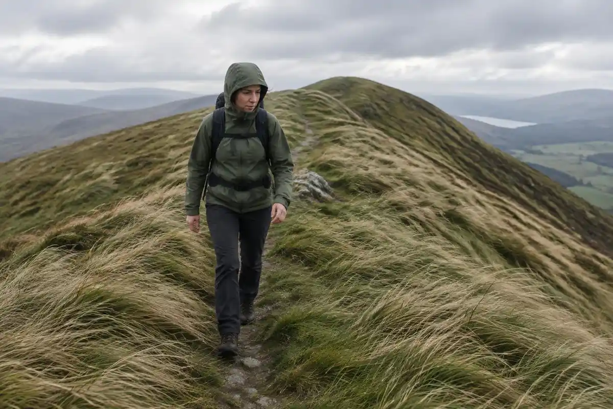
Permits & rules
No permit is required, though access arrangements and any landowner fee for the Kallur hike can change — check current rules and the Kalsoy ferry timetable before you go. The clifftops are unfenced and slippery when wet.
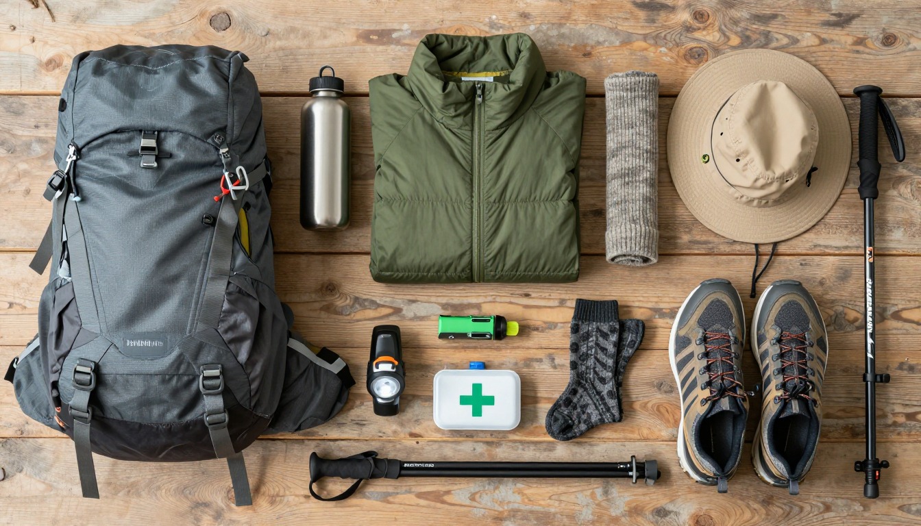
Gear you'll want for this trip
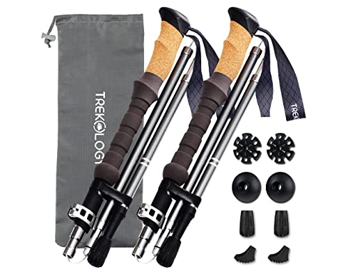
Matched to the terrain and conditions here. Real products — check current price on Amazon.


Designated campsites only
Visit Faroe Islands, the official tourist board, says camping has grown in popularity, that there are now over 20 campsites nationwide, from the capital to almost every island, including smaller ones such as Mykines, Kalsoy and Fugloy, and that camping is permitted only at designated campsites because the Faroes have no public wilderness areas or common spaces.1 Camping outside a designated campsite is illegal and punishable by a fine, and sleeping in camping cars along roads, at rest stops, in lay-bys or at viewpoints is not allowed either.1
That changes how you plan. There is no fallback of pitching near the trailhead if a bed falls through, so book a campsite or a room before you travel. Some campsites are for tents only and others for camper vans, and some villages with narrow roads do not allow access for camper vans.1 The tourist board also says fuel for camping stoves is sold at listed locations, so check before you rely on finding it.1 Confirm the current status of any campsite, and any arrangements for the Kallur route itself, with the local landowners and municipality.
Staying safe on cliffs and in fog
The tourist board's guidelines tell hikers to stick to paths, never hike alone, consider a local guide, dress for weather that changes quickly, check the route, weather and seasonal activities such as farming, watch their step because marshland can be deep and cliffs dangerous, and avoid hiking in fog or darkness.2 It also asks walkers to tell their host where they are going, fill out its safety form, and, on longer hikes, leave the Safe Travel leaflet under the car windshield or at their accommodation so someone can notify authorities if they do not return.2 The US National Park Service gives similar advice: leave a trip plan with a trusted person who is not on the trip, do not rely on a phone, and set a turnaround time.3
This page says the clifftops are unfenced and slippery when wet. That is why staying somewhere with a host who knows your plan is safer than a wild pitch. If shepherds are herding nearby, the tourist board says to hide immediately so the sheep do not notice you and, if necessary, lie down and stay still.2
Weather-proof kit and a stove in the wind
The tourist board says Faroese weather is unpredictable and recommends sturdy, waterproof and windproof equipment.1 For tent choice, MSR explains that a freestanding tent is held up by its poles alone, while a semi-freestanding tent needs staked-out points or guy lines, and that hydrostatic head testing measures how much water a fabric withstands, with a fabric passing water at one meter rated 1,000 mm.4,5 In wind, a tent that pitches well and holds its stakes matters more than a big waterproof number alone.
Cooking needs care too. The US Centers for Disease Control and Prevention says carbon monoxide is odorless and colorless, that it is produced whenever fuel is burned in stoves, and that sleeping people can die from it before they have symptoms.6 In a gale the temptation is to cook inside; do not, and use a campsite's shelter if it has one. The Centers for Disease Control and Prevention also says hypothermia can develop above 40°F if you are chilled by rain or sweat.7
Common questions
Where do people actually stay when hiking to Kallur Lighthouse?
Almost everyone bases in Klaksvík or Tórshavn and takes the ferry to Kalsoy for the day, since the island itself has only a very small number of guesthouse rooms in its villages. Book accommodation in one of those two towns and treat the hike as a day trip built around the ferry schedule rather than an overnight stay on Kalsoy.
When is the best time to do this hike?
Summer gives the most daylight, but ferry timetables change with the season, so confirm sailings with the ferry operator; the crossing and the drive up the island take real time before you even start walking. In the darker months daylight shrinks and the exposed clifftop path is a harder, colder proposition.
Is the trail to the lighthouse dangerous?
It's short but exposed: the path runs along unfenced clifftops above sea cliffs, and it gets slippery fast when wet or windy, which is common in the Faroes. Wear real hiking boots, check the forecast before you go, and be honest with yourself about turning back if the weather or footing turns — access rules can also change, so confirm current conditions locally.
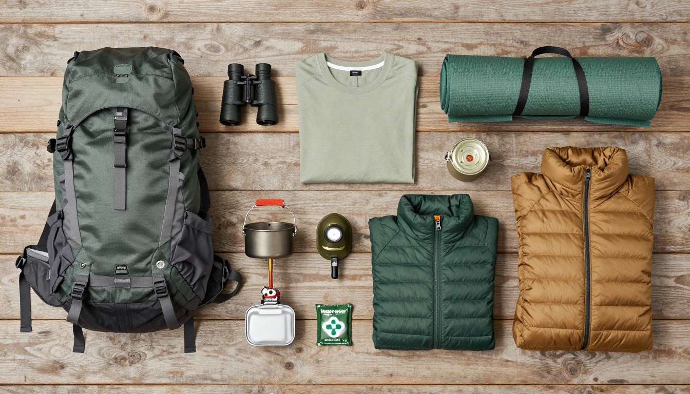
Complete gearsets for this trip
Full curated kits built for exactly this kind of hike — what to bring, why, and links to similar gear.
Lodging details are compiled from official parks, refuge associations and reservation systems and can change without notice. We publish no prices, availability or ratings — always confirm current information on the official site before booking or setting out. Product links and the accommodation map are affiliate links: we may earn a commission at no extra cost to you; product prices and availability are shown on Amazon, and accommodation prices on the booking site. See our affiliate disclosure.