
Affiliate disclosure: this page contains affiliate links. Purchases made through them may earn us a commission at no extra cost to you. See our affiliate disclosure.
In plain English
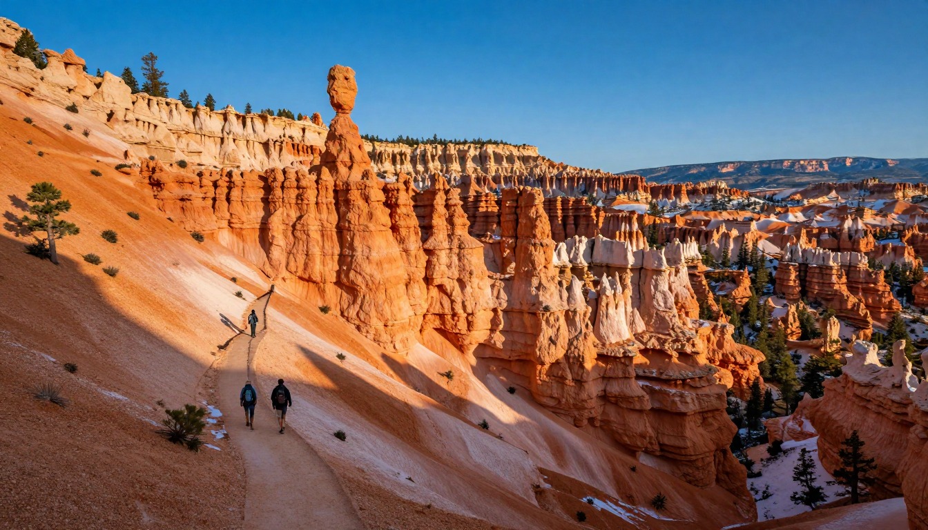
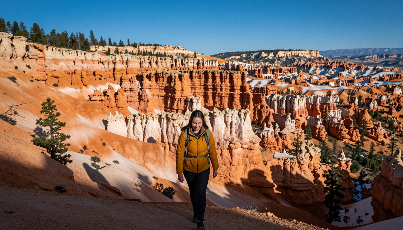
Bryce Canyon is famous for hoodoos, tall rock spires in orange and pink, and the park says it has the largest collection of them anywhere on Earth.1 This loop drops down from the rim into the middle of them and then climbs back up.
The tricky part is that the easy bit comes first. Walking down feels effortless, then you have to climb all the way back up at the end, in air that is thinner than at sea level because the park is so high.1 Go slowly on the way up and stop to catch your breath.
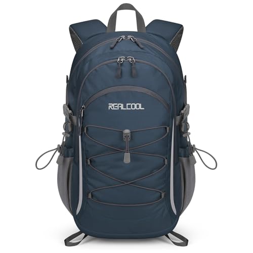
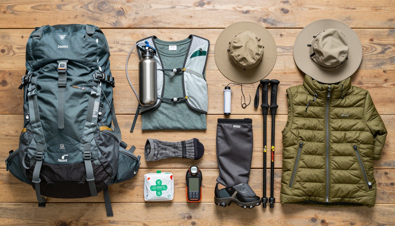
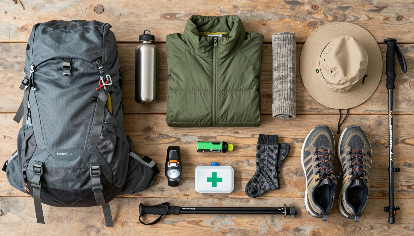
Bring a small daypack with water, a hat, sunscreen and a warm top. Mornings can be cold and afternoons sunny and bright, and the sun is stronger up high.4 In winter, snow and ice make paths slippery and some trails close.
What the hike is like
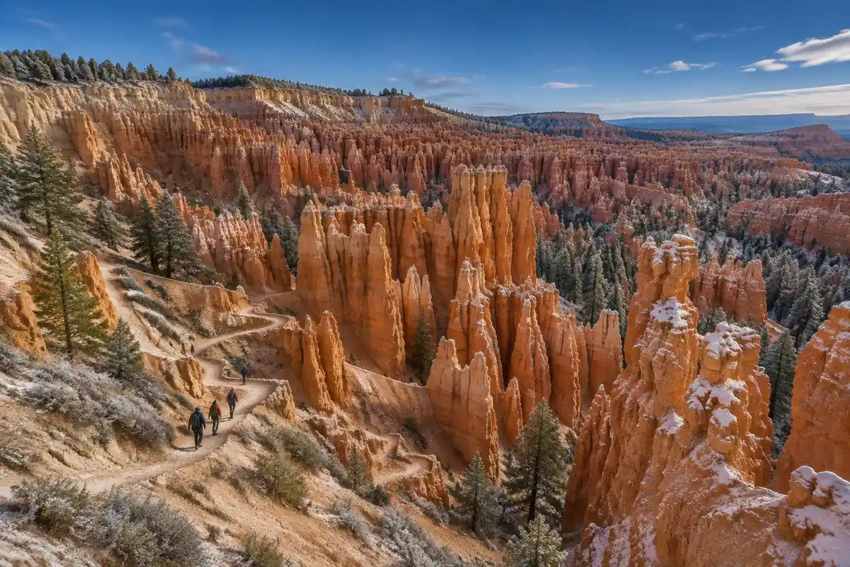
This loop runs backwards from most mountain hikes: the descent comes first and all the climbing is saved for the end. From the rim, the Navajo side drops immediately into tight engineered switchbacks stacked between sheer walls, the Wall Street corridor narrowing enough that tall firs grow straight up out of the floor reaching for light. Underfoot it is packed sand and grit over slickrock, which behaves like ball bearings on the steeper turns. Down in the amphitheater the walking becomes easy and almost flat, a sandy path winding between hoodoos, ducking through short tunnels cut in the fins, and opening into looser, garden-like ground. Queen's Garden then climbs back toward the rim at a much friendlier grade, with a stretch of rim path linking the two trailheads to close the loop. Short, but with constant changes of scale.
How to plan the itinerary
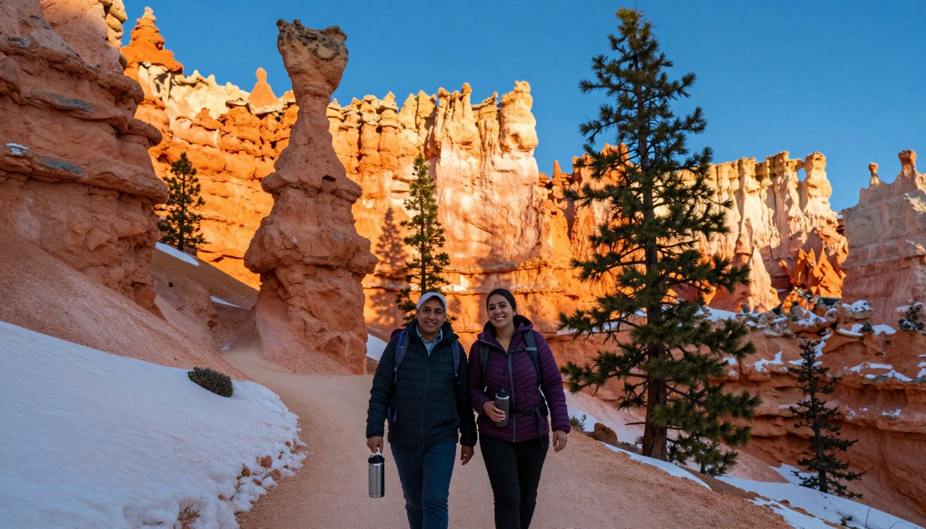
Most hikers walk it in one direction for a reason: down the steeper Navajo side and back up the gentler Queen's Garden side, which puts the knee-punishing switchbacks on the descent and the sustained climb on the kinder grade. Done that way it is a half-day outing rather than a full day, which is why people pair it with rim viewpoints, a drive along the park road, or a second short trail in the afternoon. Early starts are standard, both for cooler air on the climb out and because low sun sets the hoodoos alight. Note that the Wall Street section closes seasonally when ice and rockfall make it unsafe; when it does, hikers use the other half of the Navajo Loop instead and the loop still works, just with a different character on the way down.
Plan this trip in 5 steps
-
Pick the right pack
Match a pack to your trip, fit and priorities.
-
Book a place to stay
Campgrounds, huts and lodges near Bryce Canyon — Navajo & Queen’s Garden.
-
Plan food & water
Calories, food weight and water for your days on trail.
-
Estimate your time
Pre-filled with this trail’s distance and climb — adjust for your pace.
Trail-specific tips
The mistake almost everyone makes is treating this as a short walk because of how it reads on a map. You descend fresh and climb out tired, at an elevation high enough that people from lower ground feel the thin air on the last pitches. Pace the climb deliberately rather than pushing. Fine sand gets into low shoes on every switchback, so gaiters or higher cuffs save irritation. There is almost no shade down in the amphitheater, and the rock radiates heat in summer. For hydration, sun and altitude basics, see /trail-smarts/.
Permits & rules
No permit is needed for the day-hike loop. A seasonal park shuttle serves the amphitheater; overnight backcountry trips need a permit.
Gear suited to this hike
Matched to the terrain and conditions here. Real products — check current price on Amazon.


Elevation: why a short loop feels harder than it looks
The park's official site places Bryce at 8,000 feet and says winter comes early and stays late.1 The NPS notes that at 8,000 feet hikers are at risk of altitude illness,5 and the CDC Yellow Book adds that fitness does not protect against it and that headache is the main symptom.6 Most day visitors will not sleep that high, but those who stay in the park overnight after arriving from low country can feel it on the climb out. The NPS's general advice to plan for uphill sections taking at least double the downhill time fits this loop well.5
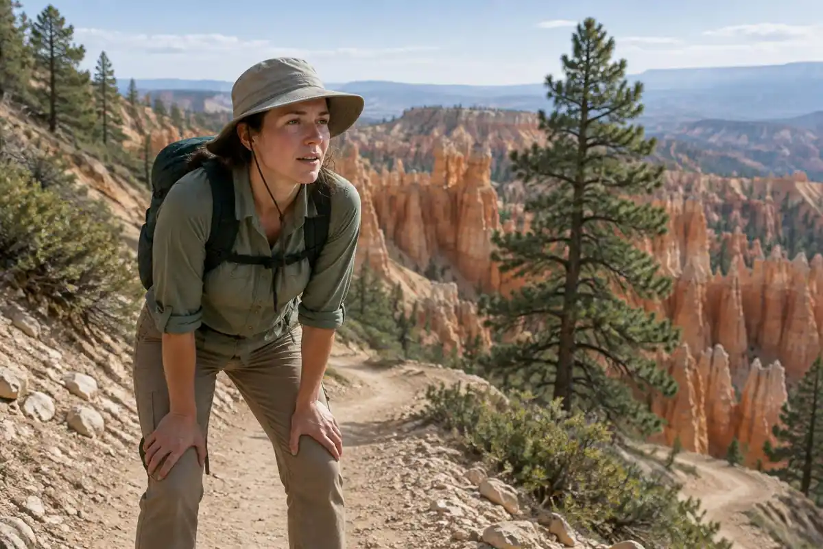
The University of Utah's travel-rate study found people move fastest on a slightly downhill slope.3 That is the trap on this loop: the descent into the amphitheater goes fast and makes the day feel easy, then the climb to the rim comes at the end with tired legs. Using Naismith's rule, the page's 2.9 miles and 625 feet of climbing work out to a little over an hour of moving time, but the loop's popularity and constant stopping stretch that into the half day the page suggests.
Seasons, shuttles and closures
The park lists its 2026 shuttle season as April 3 to October 18, and says snow causes seasonal closures in some areas and trails.1 The page notes that the Wall Street section closes seasonally; the practical point is to check the park's alerts and current conditions before building a day around it, because the shape of the loop and the grip you need can change.
On exposed rim sections, afternoon thunderstorms are a hazard. The NWS says there is no safe place outdoors in a thunderstorm and that if you can hear thunder you are likely within striking distance.7
Packing for sun, cold and sand
The EPA says UV intensity rises about 6% per kilometer of elevation, and overcast skies still let through about 31% of UV.4 At Bryce that means a hat and SPF 30 or higher broad-spectrum sunscreen, which the CDC suggests reapplying every 2 to 4 hours.8
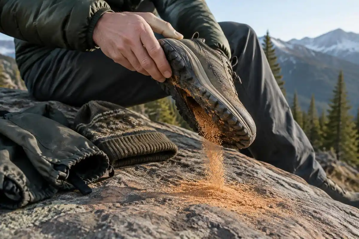
Cold mornings call for a warm layer that packs small. The switchbacks on the page are described as sand and grit over slickrock, so footwear grip matters more than ankle height; the extra weight of heavy boots costs energy, with research finding each kilogram on the feet raises energy use by about 7 to 10%.9 In colder months, traction devices earn their place in the pack when the rim trails ice over.
Common questions
Which direction should I hike the loop?
Descending the Navajo switchbacks and climbing out via Queen's Garden is the way most people go, and it is the more comfortable option for knees and lungs alike. Going the other way is allowed and some hikers prefer it for the light, but it means grinding up the tightest, steepest switchbacks with loose sand underfoot.
Is this hike hard?
It is short but not trivial. There is no scrambling and no exposure, and the trail is wide and well maintained throughout, but the climb back to the rim is continuous and happens at meaningful elevation. Anyone comfortable walking uphill for a sustained stretch will be fine; anyone expecting a flat stroll will be surprised.
Is Wall Street always open?
No. That section closes seasonally, typically over the colder months, when ice and rockfall make the narrow corridor hazardous. The rest of the Navajo Loop generally stays open, so the loop is still walkable, just without the slot-canyon stretch. Check current park trail status before you build your day around it.
How long should I allow?
Plan a relaxed half-day rather than a quick lap. The distance is modest, but the terrain invites frequent stopping, the light changes constantly among the hoodoos, and the climb out is slower than most people plan for. Starting early leaves room to linger and still be back on the rim before the midday heat and crowds arrive.
Complete gearsets for this trip
Full curated kits built for exactly this kind of hike.
Trail conditions, permits and access rules change without notice — always confirm current information on the official source above before you go. Some facts on this page are still pending owner verification and are marked accordingly. Product links and the accommodation map are affiliate links: we may earn a commission at no extra cost to you; product prices and availability are shown on Amazon, and accommodation prices on the booking site. See our affiliate disclosure.