
Affiliate disclosure: this page contains affiliate links. Purchases made through them may earn us a commission at no extra cost to you. See our affiliate disclosure.
In plain English
Yr Wyddfa, also called Snowdon, is the highest mountain in Wales. Several paths go up it, like different staircases to the same rooftop. Some are long and gentle, some are short and rocky, and one, Crib Goch, is a narrow rock ridge where you need your hands. That one is climbing, not walking.
You can do the whole trip in a day. You don't need a permit. What you do need is a plan for the weather, because the top of the mountain is often in cloud even when the car park is sunny. Cloud up there is like walking inside a glass of milk: you can lose the path in a few steps.
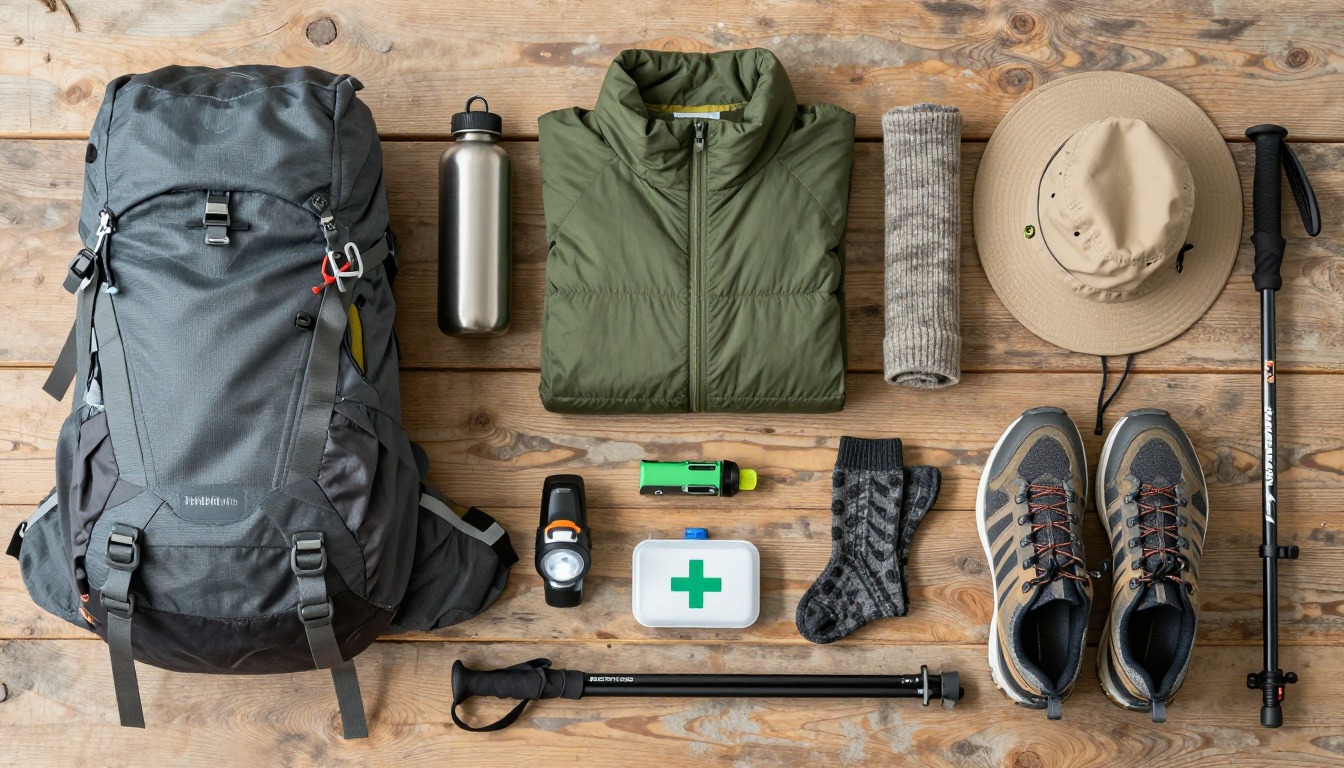
Pack a small backpack with water, food, a warm layer, a rain jacket and a map. Coming down is the tiring part. Your legs are tired and the stones can be slippery, so take it slowly, and walking poles, which are like ski poles for hikers, can help your knees.
What the hike is like
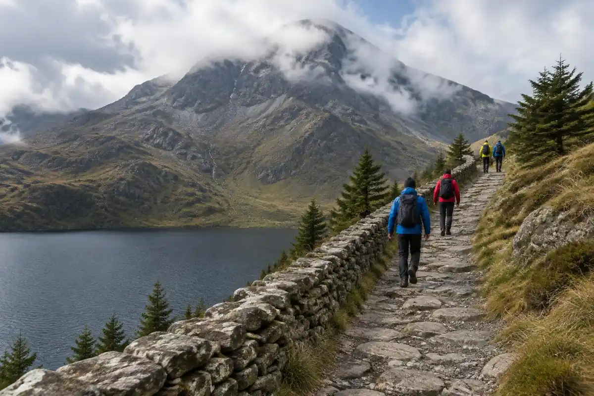
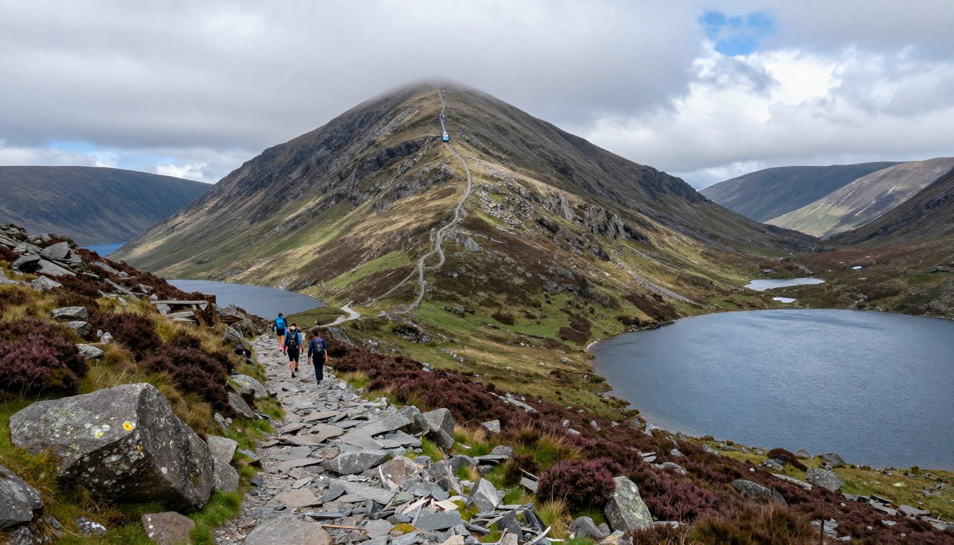
The mountain's character depends entirely on which line you take up it. The Llanberis Path is the long, steady one, a broad and mostly even gradient shadowing the railway with few surprises underfoot. The Pyg Track starts high at Pen-y-Pass and works along a rocky shelf above the lakes, with stepped, hands-occasionally-on-rock sections rather than a smooth path. The Miners' Track begins as a flat cart road past glacial water before rearing up in a steep zigzag of loose stone to join the Pyg near the top. The Watkin Path climbs from the lowest start of the lot and finishes on awkward, shifting scree. Crib Goch is a different animal — a genuinely exposed knife-edge scramble, not a walking route. Every path converges on the same final ridge beside the railway line for the last pull to the summit.
How to plan the itinerary
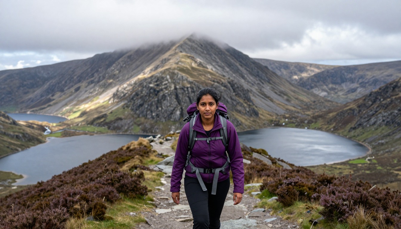
This is a one-day mountain, and the useful planning happens the evening before rather than on the hill. The most common shape is an early start from a base in Llanberis or near your chosen trailhead, up one route and down another where transport allows — Pyg up and Miners' down is the classic Pen-y-Pass loop, while the Llanberis Path is usually walked as an out-and-back. Because the Sherpa bus links the trailheads, you can also treat the day as a linear traverse, going up one side and walking off the other. Allow for a full day rather than a squeezed morning, and build the schedule around getting up and down in daylight with margin to spare. Groups with mixed experience should agree the route in advance, since the easiest and hardest lines share the same summit.
Plan this trip in 5 steps
-
Pick the right pack
Match a pack to your trip, fit and priorities.
-
Plan food & water
Calories, food weight and water for your days on trail.
-
Estimate your time
Pre-filled with this trail’s distance and climb — adjust for your pace.
Trail-specific tips
Decide your route before you arrive, not in the parking area — Pen-y-Pass fills early and the park-and-ride or Sherpa bus is the reliable way in. The commonest genuine mistake here happens on the way down: in cloud, walkers leaving the summit drift onto the wrong path, and the marker stones at the top of the ridge matter more than they look. Treat Crib Goch as a separate undertaking rather than an alternative track, and turn around early if it feels wrong. Eryri's weather changes fast; general mountain-safety basics are covered on /trail-smarts/.
Permits & rules
No permit is required. The park’s main paths to the summit include Llanberis, Pyg, Miners’, Watkin and Rhyd Ddu, among others; Crib Goch is not an official path and is an exposed knife-edge scramble for experienced hikers only. Weather changes fast.
Gear suited to this hike
Matched to the terrain and conditions here. Real products — check current price on Amazon.


Which path, and what the park itself says about them
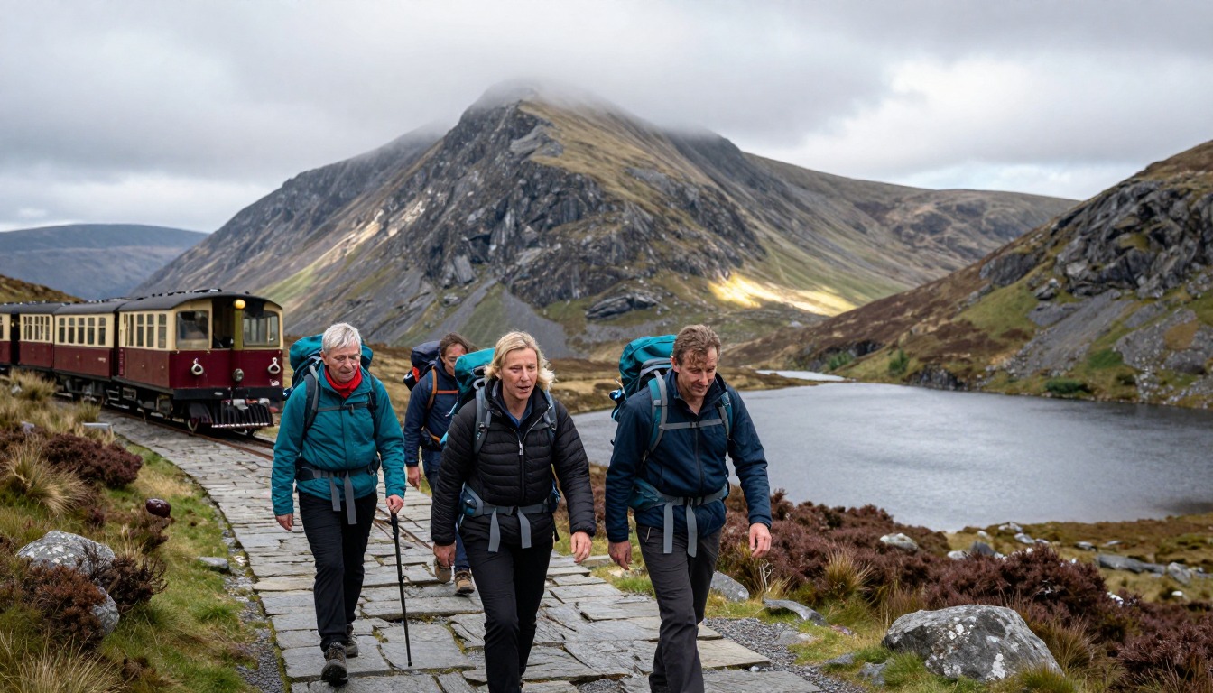
Eryri National Park Authority's own pages describe the Pyg Track as a rocky and difficult path with several steep climbs, and it lists a route from the small village of Rhyd Ddu as well.1 That is worth knowing because this page's trail facts name four paths (Llanberis, Pyg, Miners', Watkin) as though they were the full set. They are the best known, but the western routes such as Rhyd Ddu are real, official options and often quieter.
The route choice changes the physical cost more than the distance suggests. A University of Utah analysis of GPS data from nearly 30,000 people found that slope is what drives travel time: a slow walker covering a flat mile in about 33 minutes needed about 97 minutes on a 30-degree slope, and people moved fastest on slight downhills.2 Applying Naismith's classic rule (one hour per three miles plus one hour per 2,000 feet of climb) to the Llanberis Path's 9 miles and 3,221 feet gives about 4.6 hours of moving time. Mountaineering Scotland's slower variant of 4 km/h plus one minute per 10 m of ascent gives about 5.3 hours.6 Add stops, queues at the summit and the descent on tired legs, and a full day is realistic.
Cloud, navigation and the wrong-path descent
This page flags the classic mistake of leaving the summit on the wrong path in cloud. Electronics are not a complete fix. The US National Park Service warns that GPS units can give inaccurate information in mountain terrain and that deep valleys reduce satellite accuracy.3 A paper map and a compass bearing taken before you leave the summit are the backup. If you use a compass, remember that magnetic declination, the angle between magnetic north and true north, changes with place and over time, so an old map's figure may be out of date.7
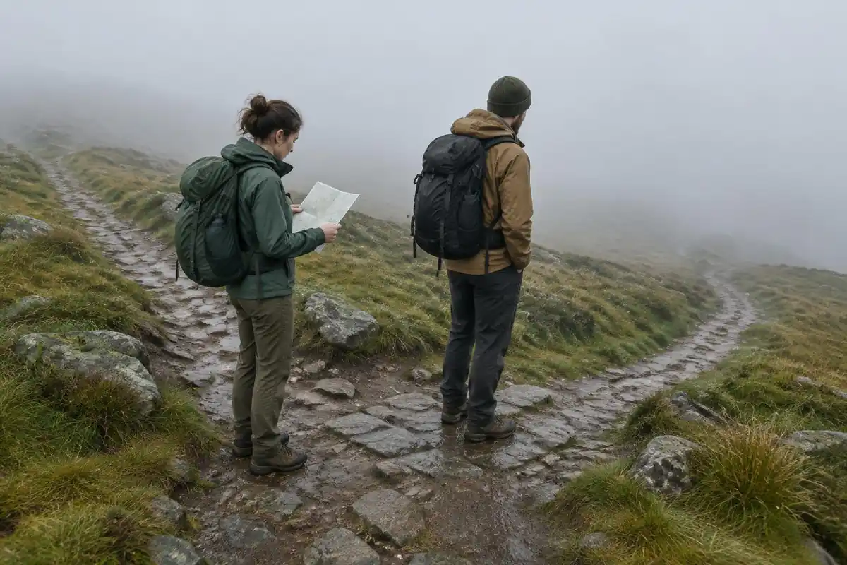
If you do become lost in poor visibility, general search-and-rescue advice is to stay put unless there is an immediate threat, because moving makes you harder to find; a whistle carries further than shouting and saves energy.8 Weather also drives hypothermia risk on an exposed summit: NWS notes hypothermia can occur at air temperatures as warm as 60°F when people are wet or underdressed for a long time.9
Knees, poles and the scramble question
Descending is where tired legs slip. In a lab study on a 25-degree downhill ramp, hiking poles lowered knee compressive and shear forces by 12–25%.4 On level ground a separate study found poles did not reduce knee compression, even when people pushed harder on them.5 So poles earn their place on the stepped descents of the Pyg and Miners' Tracks, not on the flat start of the Miners' Track.
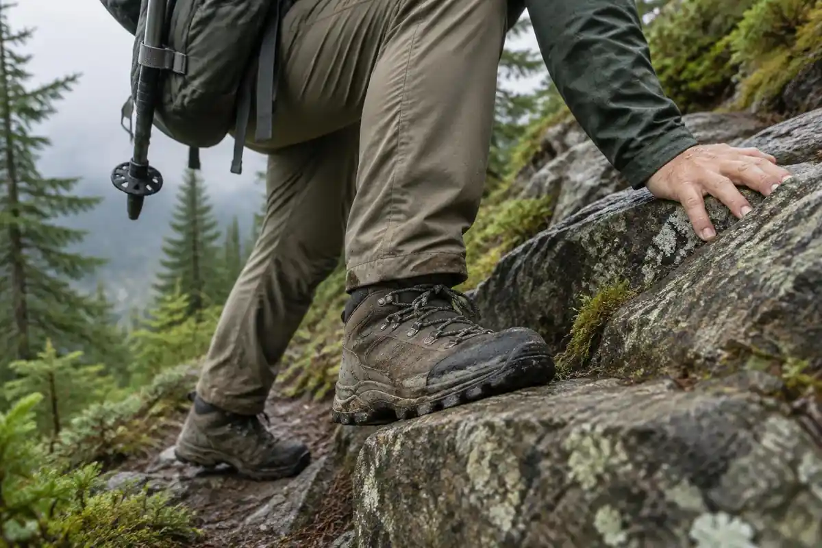
On Crib Goch or any hands-on section, the poles need to go away. A pack with compression straps helps here, because straps hold the load close and stop it shifting as you move.10 If thunder is forecast, the ridges are the wrong place to be; NWS advises avoiding ridge tops and, in the mountains, getting off high ground early because storms often build in the early afternoon.11
Common questions
Which route up Yr Wyddfa is easiest for a first-timer?
The Llanberis Path is generally the gentlest, with a consistent gradient, a clear surface and no scrambling. It is longer underfoot than the Pen-y-Pass routes but asks less of your balance and confidence. The Pyg and Miners' Tracks are shorter but rockier and steeper in places, which suits walkers already comfortable on uneven mountain ground.
Can I take the train up and walk down?
Many people do, and it is a reasonable way to see the summit without the full climb. Bear in mind that descending is where tired legs and slippery rock cause most trouble, so it is not automatically the easy option. Services are seasonal and weather-dependent, so check the operator's current running arrangements before building a day around them.
Do I have to do Crib Goch to reach the summit?
No. Crib Goch is an exposed, hands-on ridge scramble that several straightforward walking routes bypass entirely, and it is not part of any of the standard paths. It should only be attempted by people experienced with airy scrambling, in good conditions, and it is a poor place to discover you dislike heights.
How crowded does it get?
The main paths and the summit area can be genuinely busy in the warmer months and at weekends, particularly around the railway terminus. Starting early spreads you out from the bulk of walkers and improves your chances at the trailhead parking. The quieter routes from the western side, such as the Rhyd Ddu path, see noticeably fewer boots than the Llanberis and Pen-y-Pass lines.
Complete gearsets for this trip
Full curated kits built for exactly this kind of hike.

Trail conditions, permits and access rules change without notice — always confirm current information on the official source above before you go. Some facts on this page are still pending owner verification and are marked accordingly. Product links and the accommodation map are affiliate links: we may earn a commission at no extra cost to you; product prices and availability are shown on Amazon, and accommodation prices on the booking site. See our affiliate disclosure.