
Affiliate disclosure: this page contains affiliate links. Purchases made through them may earn us a commission at no extra cost to you. See our affiliate disclosure.
In plain English
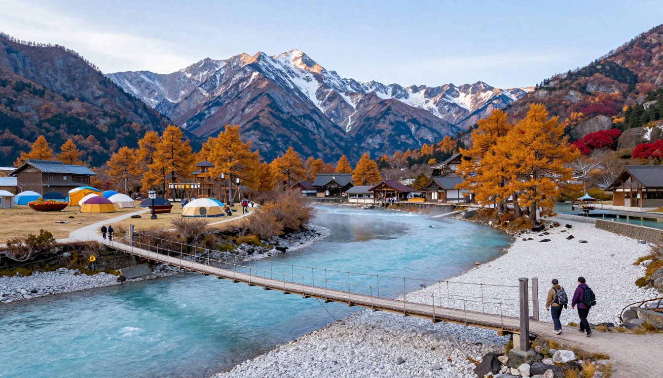
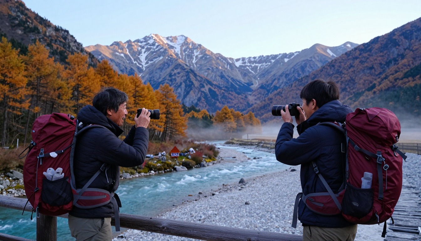
Kamikochi is a mountain valley in the Japanese Alps. Flat, wide paths run beside a river, over boardwalks and past ponds, with tall jagged peaks above. This part can be walked in trainers by almost anyone. Cars are not allowed in the valley, so you arrive by bus.
The other side of Kamikochi is serious mountaineering. Trails that leave the valley climb steeply into rock, and the upper parts have ladders, chains and scrambling. Think of it as two trips sharing one entrance: a park stroll and a mountain climb.
For a valley day, a small daypack with water, a rain jacket and a warm layer is enough. For the high routes, you need proper boots, a bigger pack for a hut stay and experience, and you should book huts early in busy weeks.
What the hike is like
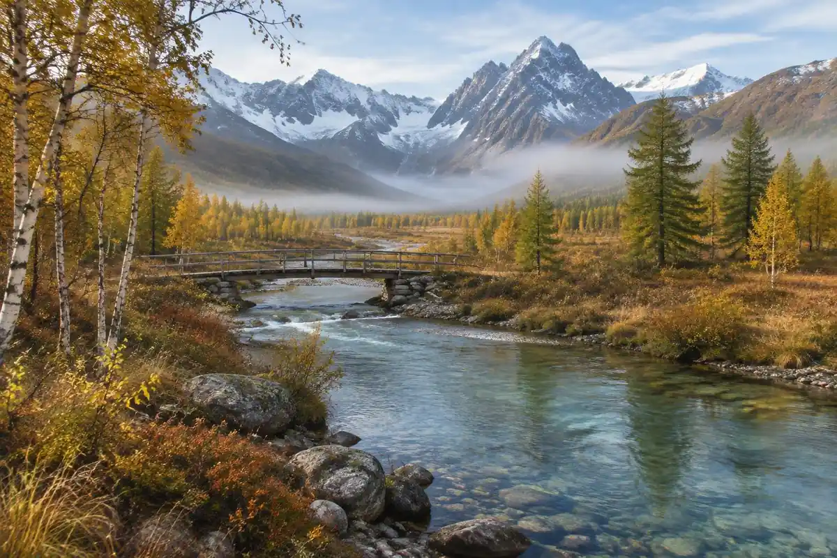
Kamikochi is really two kinds of walking that share a car park. On the valley floor the paths are flat, wide and largely gravel, running beside the Azusa River and out across boardwalks laid over marshy ground and ponds, with Kappa Bridge as the hub everything radiates from. It is genuinely easy going — the sort of walking done in trainers, with the jagged Hotaka wall standing overhead the entire time to remind you what else is available. The moment you leave the valley floor that changes completely. Routes toward the high huts and the Hotaka and Yari ridgelines climb hard out of the trees onto rock, with ladders, chains and steep scrambling sections on the upper stretches. There is no gentle middle ground between the two: the valley is a stroll, the mountains are mountaineering.
How to plan the itinerary
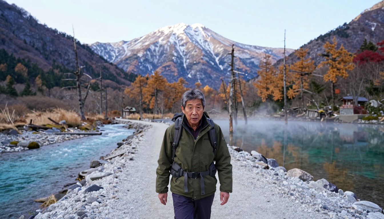
Day visitors ride the bus in, walk the valley paths for a few hours in whichever direction appeals, and ride out again, with the last bus of the day setting the hard deadline. That alone fills a satisfying day. Anyone heading up stages the trip differently: a night in valley lodging or a campsite, an early start the next morning, and a climb to one of the mountain huts to break the ascent, with the summit attempt from there and the descent spread across the following day or two. Those huts need booking ahead in the busy summer and autumn weeks. The valley's seasonal opening window bounds everything, so confirm the season's dates before building any itinerary around the place.
Plan this trip in 5 steps
-
Pick the right pack
Match a pack to your trip, fit and priorities.
-
Plan food & water
Calories, food weight and water for your days on trail.
Trail-specific tips
The trap here is the contrast. Casual visitors see the flat riverside path and assume 'the hike to the peaks' is a slightly longer version of it — it is not, and the upper routes are serious alpine terrain with chains and ladders that demand experience and proper gear. Decide which trip you are doing before you arrive. Carry a bear bell for the quieter forest paths, as locals do. Watch the bus timetable more carefully than the trail: there is no driving yourself out, and the last departure is final. General alpine judgment lives on /trail-smarts/.
Permits & rules
No permit is needed for the valley walks, and the whole area is car-free (bus/taxi access only), open only in the snow-free months. Venturing onto the high peaks is real alpine hiking — go prepared, and use the mountain huts.
Gear suited to this hike
Matched to the terrain and conditions here. Real products — check current price on Amazon.
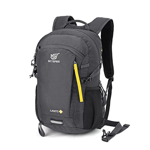


Two different trips, two different kits
The Kamikochi official website says the valley has year-round restrictions on private vehicles, including motorcycles, beyond the Kamado Tunnel, so visitors use a shuttle bus or taxi from the parking areas at Sawando or Hirayu.1 Season dates, bus timetables and hut booking are worth checking locally before you plan, because they change.
For the valley, a day pack suffices. Washington Trails Association suggests 25 to 30 liters for a full-day hike and 45 to 50 for one or two nights.4 Hut stays typically change what you carry: for comparison, the Appalachian Mountain Club's full-service huts include dinner and breakfast,5 but other huts may not, so check what your hut provides.
Altitude, weather and the step from valley to ridge
Elevation is the first change. CDC says any unacclimatized person sleeping at 8,000 ft or higher is at risk of altitude illness, and that fitness does not protect against it. Above about 9,850 ft, sleeping altitude should rise no more than about 1,600 ft per day.2 Headache is the main symptom of acute mountain sickness, and mild cases improve with descent of about 1,000 ft or more.2 If you plan a hut night high on a ridge, build in acclimatization time and never climb higher to sleep with symptoms.
Mountain weather is fast. NWS says there is no safe place outdoors during a thunderstorm, and that delaying the move to shelter contributes to many US lightning deaths and injuries.3 Ridge routes offer little cover, so start early and plan a turnaround time, as NPS suggests.6
Packing for ladders, chains and a hut night
Scrambling changes how a pack should be built. A pack that rides close to your back keeps balance better. The Appalachian Mountain Club advises heavy, dense items about two-thirds up the main compartment against your back and cinching the compression straps to stabilize the load.7 Knapik's review notes that a hip belt should be used whenever possible to reduce shoulder pressure, and that low or mid-back placement may suit uneven terrain.8
Layer for changing conditions: wicking base layer, insulating middle layer and wind- and water-blocking shell, per the National Park Service.9 Missing the last bus is a hard deadline in the valley, so set a turnaround with margin.
Common questions
Can I hike the valley without any mountain experience?
Easily. The valley floor paths along the Azusa River and around Kappa Bridge are flat, well maintained and suitable for almost anyone who can walk a few hours, including families. They are a completely separate proposition from the climbing routes that leave the valley, which need real alpine experience and equipment.
How long does it take to reach the high huts?
It is a serious climb rather than an afternoon's walk, which is precisely why the huts exist — they break an ascent that is not sensibly done in one push from the valley. Plan on a dedicated day for the climb, and book hut space ahead in the peak summer and autumn weeks.
Is Kamikochi crowded?
The valley floor around the main bridge sees steady foot traffic, especially on fine weekends in peak season, since it is the single most popular spot in the area. Walking upstream or downstream away from the bridge thins the numbers considerably, and early morning before the first bus loads arrive is the quietest window.
What happens if I miss the last bus out?
There is no self-drive fallback, because private vehicles cannot enter the valley — the bus or a taxi is the only way in and out. That makes the final departure a genuine deadline rather than a guideline. Check the day's timetable when you arrive and set your turnaround time against it, with a margin.
Complete gearsets for this trip
Full curated kits built for exactly this kind of hike.


Trail conditions, permits and access rules change without notice — always confirm current information on the official source above before you go. Some facts on this page are still pending owner verification and are marked accordingly. Product links and the accommodation map are affiliate links: we may earn a commission at no extra cost to you; product prices and availability are shown on Amazon, and accommodation prices on the booking site. See our affiliate disclosure.