
Affiliate disclosure: this page contains affiliate links. Purchases made through them may earn us a commission at no extra cost to you. See our affiliate disclosure.
In plain English
The Alum Cave Trail climbs Mount LeConte in the Great Smoky Mountains, on the Tennessee side of the park. It starts beside a creek, passes through a rock arch, reaches a giant rock overhang called Alum Cave Bluffs, then follows narrow ledges with steel cables to hold on to before reaching the summit.
You do not need a permit to walk it in a day, but the park does need you to have a parking tag if you leave your car more than 15 minutes.1 Many people turn around at the bluffs, which makes a shorter, easier day.
The weather at the top can be much colder than at the car. The park says snow and cold can rule the mountaintops in spring and fall.1 Bring a warm layer and a rain jacket, and grippy shoes for wet rock. Bears live in the park, so keep your food packed away and give any bear plenty of space.1
What the hike is like
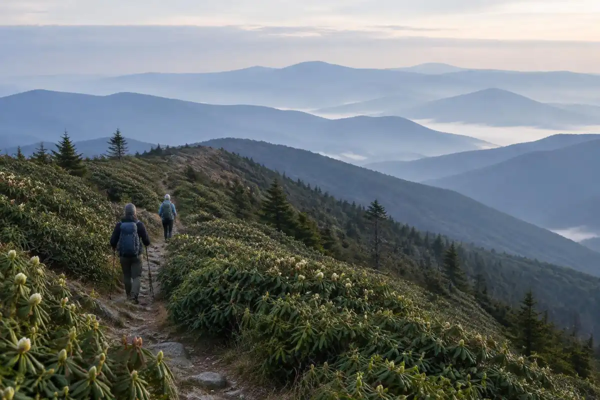
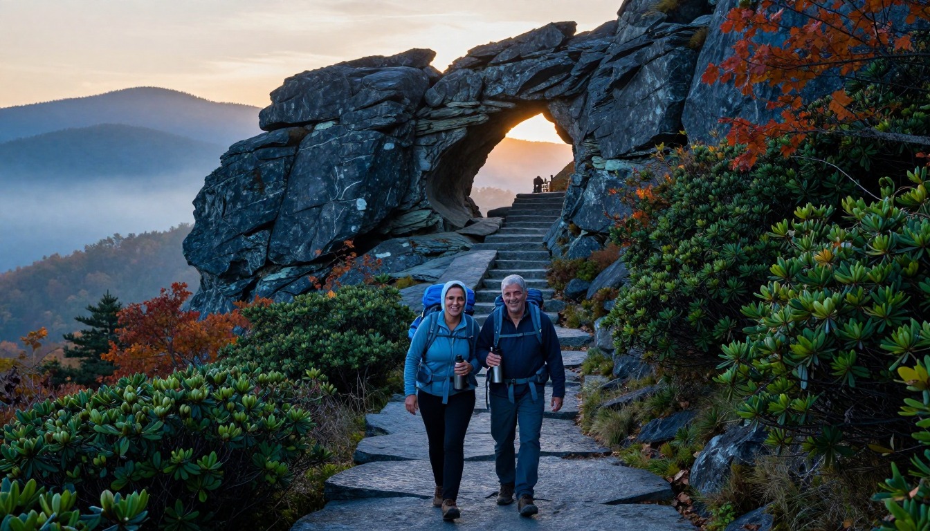
The Alum Cave Trail is a climb of distinct stages rather than one uniform grind. It opens almost flat along a creek, crossing and recrossing on log footbridges with a single handrail, before tilting upward to Arch Rock, where stone steps climb through a natural tunnel in the rock. Above that the forest thins and the trail steepens onto a more open shoulder, then reaches the Alum Cave Bluffs, a huge dry overhang of sandstone with a floor of fine dust underfoot. The bluffs are where a lot of hikers stop. Beyond them the route narrows considerably, traversing ledges cut into the mountainside with steel cables bolted into the rock as handholds, drops on the outer side, and short slick sections that stay wet. The last stretch climbs through dense spruce and fir toward LeConte's wooded summit plateau.
How to plan the itinerary
There are really two trips here. As a day hike it is a long, steep out-and-back done in a single push, with an early start recommended mostly because the trailhead parking is limited and fills quickly in wildflower and fall-color season. Many hikers deliberately plan the Alum Cave Bluffs as their objective and treat the summit as optional, which makes for a satisfying shorter day. As an overnight, hikers who have secured a bunk at the hike-in lodge on the summit climb at a relaxed pace, spend the afternoon and evening on top, and come down the next morning; some choose to descend a different trail for variety, which means arranging a car shuttle in advance. Backcountry permit holders use designated sites and build their own longer loop through the high country.
Plan this trip in 5 steps
-
Pick the right pack
Match a pack to your trip, fit and priorities.
-
Book a place to stay
Campgrounds, huts and lodges near Great Smokies — Alum Cave to Mount LeConte.
-
Plan food & water
Calories, food weight and water for your days on trail.
-
Estimate your time
Pre-filled with this trail’s distance and climb — adjust for your pace.
Trail-specific tips
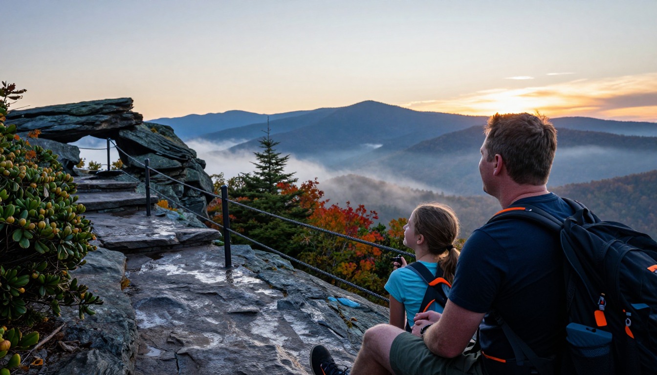
The cabled ledges above the bluffs are the section that decides the day. They are straightforward in dry conditions and genuinely serious when iced, which in the Smokies can happen well outside the depths of winter, since the summit holds cold long after the valley has warmed. Check high-elevation conditions rather than the town forecast. The other common error is underdressing: the temperature difference between the trailhead and the top is larger than most first-timers expect. For layering, traction and turnaround judgment, see /trail-smarts/.
Permits & rules
No permit is needed to day hike Alum Cave, but a parking tag is required for any vehicle parked in the park for more than 15 minutes. Staying at LeConte Lodge requires a reservation; backcountry camping requires a permit and use of designated shelters/sites.
Gear suited to this hike
Matched to the terrain and conditions here. Real products — check current price on Amazon.


Parking tags, seasons and why the summit is another climate
The park's official site states that a parking tag is required to park for longer than 15 minutes, and it asks visitors to check the status of roads, facilities and trails through its closures and alerts section before they go.1 The page above says no permit is needed for the day hike, which is correct; the parking tag is a separate requirement that catches out hikers who assume a permit-free trail is paperwork-free.
The park also notes that in spring and fall the foothills can be pleasant while snow and cold rule the mountain tops, that winter snow falls mostly at higher elevations, and that fall is one of the busiest times of year.1 For packing, that means planning for the summit's weather, not the trailhead's. The CDC says hypothermia can develop above 40°F when you are chilled by rain, sweat or cold water, and lists hikers among people at higher risk.5
Navigation under dense canopy
Great Smoky Mountains has its own warning about GPS: units and vehicle navigation can give inaccurate information in mountain terrain, commercial base maps show wrong road names and misdirected trails, and dense canopy and deep valleys reduce satellite accuracy.3 Alum Cave itself is a clear, well-trodden path, but hikers who plan to descend a different trail from the summit are exactly the people who get caught by a wrong app line at a junction. A paper map of the summit trail network earns its few ounces here.
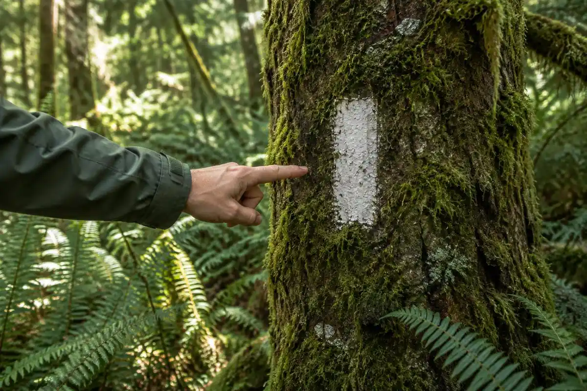
The NPS advises leaving a trip plan with someone not on the trip and not relying on a cell phone for emergencies.6
Effort, timing and a pack for cables and wet rock
The page lists 10 miles round trip and about 2,800 feet of gain. The Shenandoah formula scores that about 237, above its 200 threshold for Very Strenuous, one step harsher than the page's Strenuous label.2 Naismith's rule gives about 4.7 hours of moving time.7 Turning at the bluffs roughly halves both numbers, which is why the page recommends it for anyone unsure.
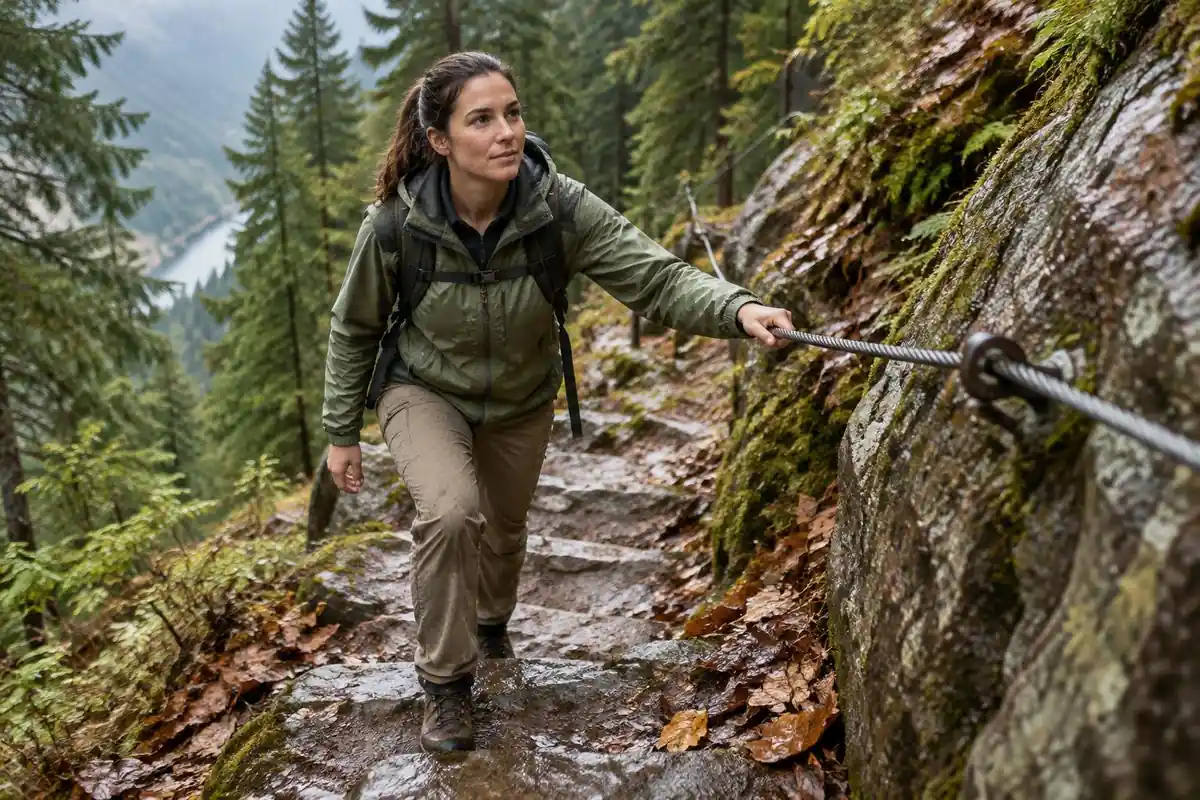
On the cabled ledges you want one hand on the cable and your weight over your feet. Load-carriage research finds keeping the load close to your body lowers energy cost, and a tight, narrow pack also stops it swinging you off balance.8 The NPS gives uphill hikers the right of way, which matters where two people cannot pass on a ledge.4
The park warns bears are wild and their behavior unpredictable.1 The NPS notes bears treat any scented item as food, so snacks and trash stay sealed in the pack, not left at the bluffs while you go on.9 In warm months, the CDC's tick advice applies too: walk in the center of the trail and avoid leaf litter.10
Common questions
Can I stop at the Alum Cave Bluffs instead of going to the summit?
Absolutely, and many hikers plan it that way. The bluffs are a genuine destination in their own right, they come before the narrow cabled ledges, and turning around there cuts the day roughly in half. It is a good option for anyone with less time, less climbing fitness, or doubts about the upper section.
How exposed are the cable sections?
They are narrow traverses with a drop on the open side and a steel cable fixed to the rock for a handhold. In dry conditions most hikers find them manageable and even enjoyable. Wet or icy, they demand real care and proper traction. They are the reason this route is treated as strenuous rather than merely long.
Do I need a reservation to hike this trail?
Not for the hike itself. Reservations come into it only if you want to sleep on the mountain, either at the hike-in lodge near the summit, which books out far ahead, or at a backcountry site, which needs a permit. Day hikers do still need a parking tag to park for longer than 15 minutes, so check current park parking and access requirements before setting out.
Is Alum Cave the best way up Mount LeConte?
It is the most popular, because it is the shortest of the main routes and has the most varied landmarks along the way. Other trails reach the summit at gentler grades over longer distances, which some hikers prefer for the descent. Going up one and down another is a common approach if you can arrange a shuttle.
Complete gearsets for this trip
Full curated kits built for exactly this kind of hike.
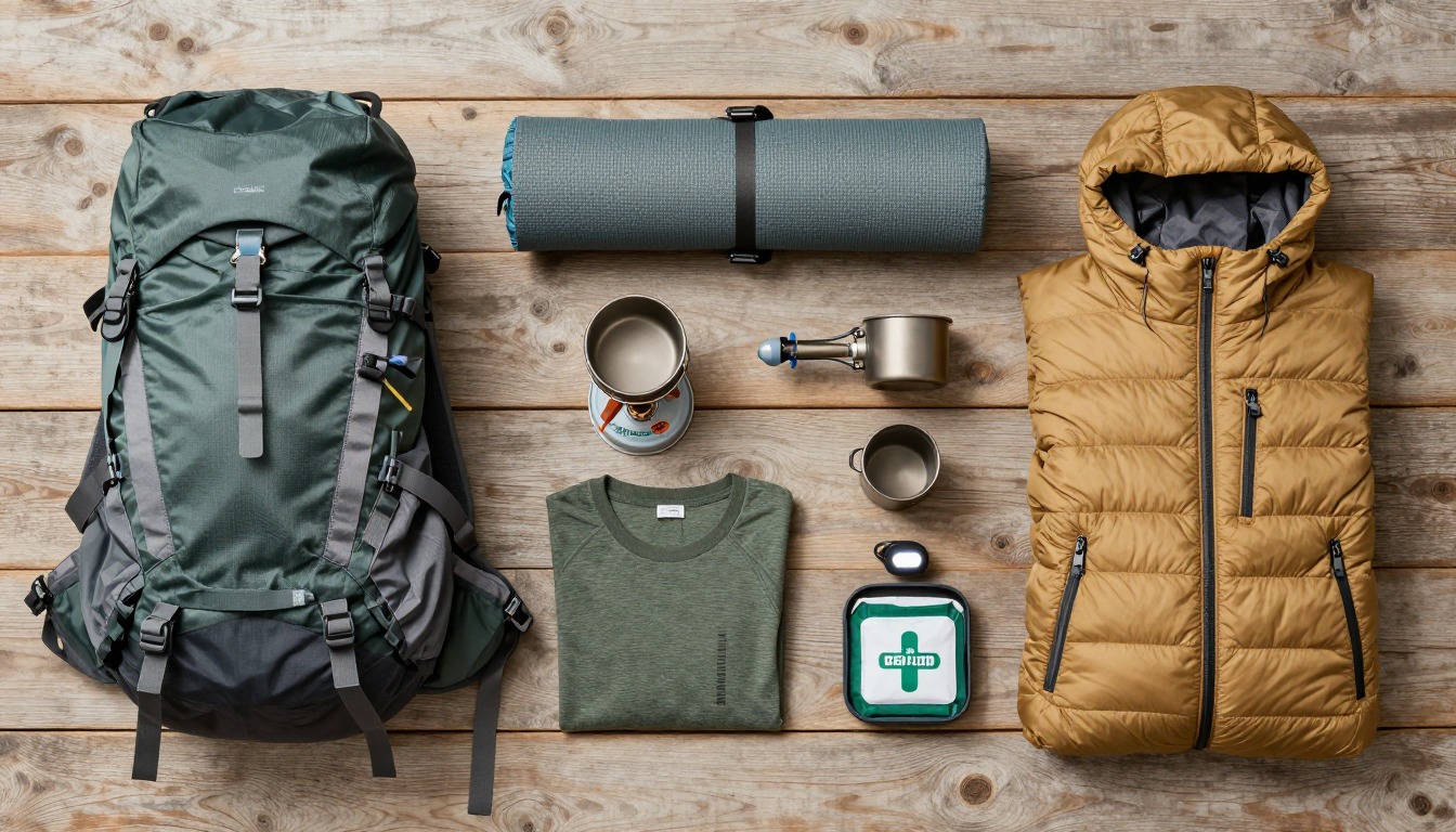
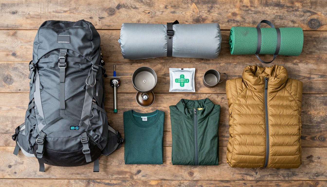
Trail conditions, permits and access rules change without notice — always confirm current information on the official source above before you go. Some facts on this page are still pending owner verification and are marked accordingly. Product links and the accommodation map are affiliate links: we may earn a commission at no extra cost to you; product prices and availability are shown on Amazon, and accommodation prices on the booking site. See our affiliate disclosure.