
Affiliate disclosure: this page contains affiliate links. Purchases made through them may earn us a commission at no extra cost to you. See our affiliate disclosure.
In plain English
The Bright Angel Trail goes down into the Grand Canyon from the South Rim. That makes it an upside-down hike: the easy downhill part comes first, and the hard climb back up comes at the end, when you are tired and it is hotter.
Most people never go all the way to the river. They walk down for a while, then turn around at a time they chose before starting. A good rule is that the way up takes at least twice as long as the way down.3
The biggest danger is heat. The canyon gets much hotter the deeper you go, and you can lose a lot of water through sweat very quickly.2 Carry plenty of water, eat salty snacks, start early in the morning and avoid climbing during the middle of the day. If you want to sleep below the rim, you need a permit.1
What the hike is like
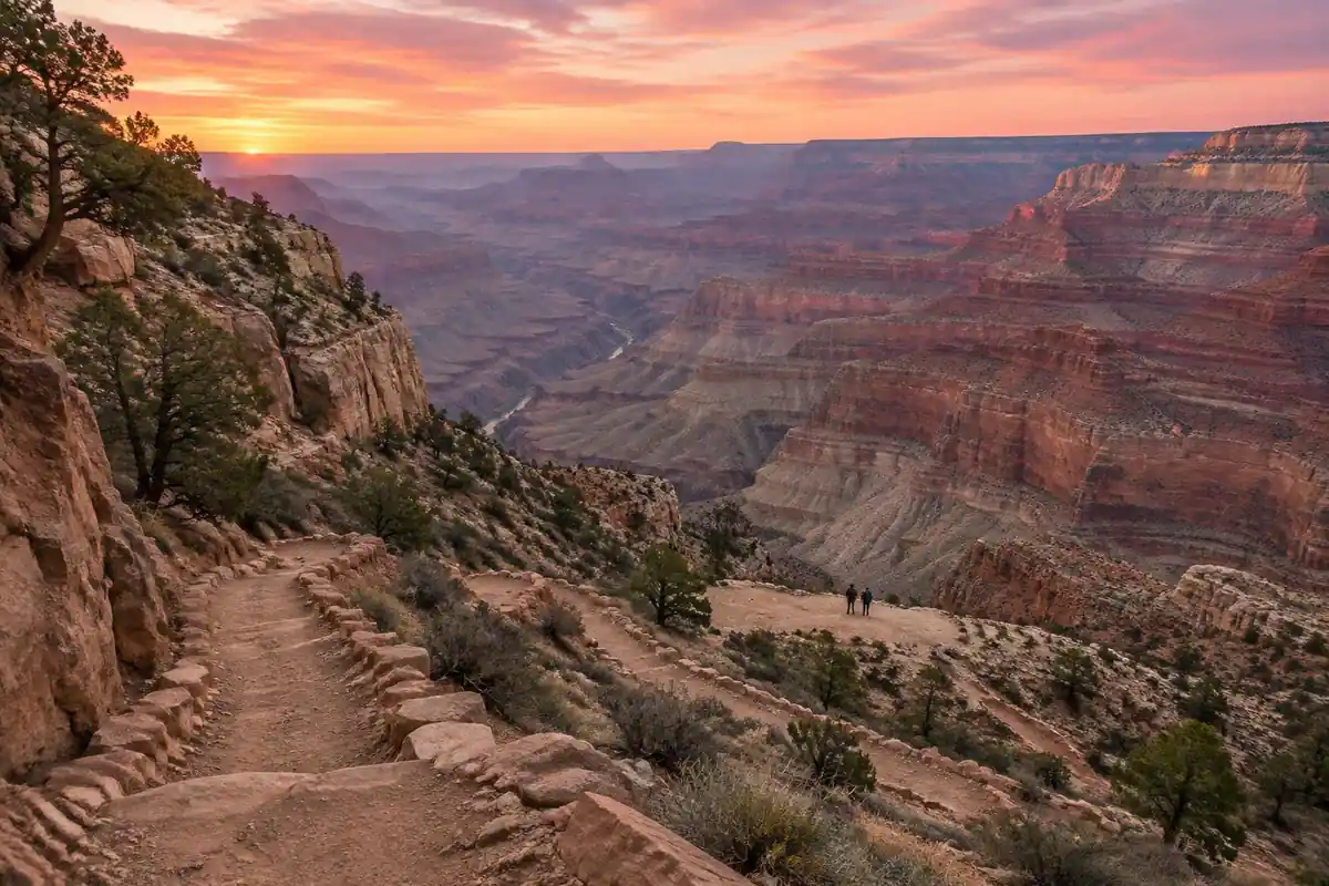
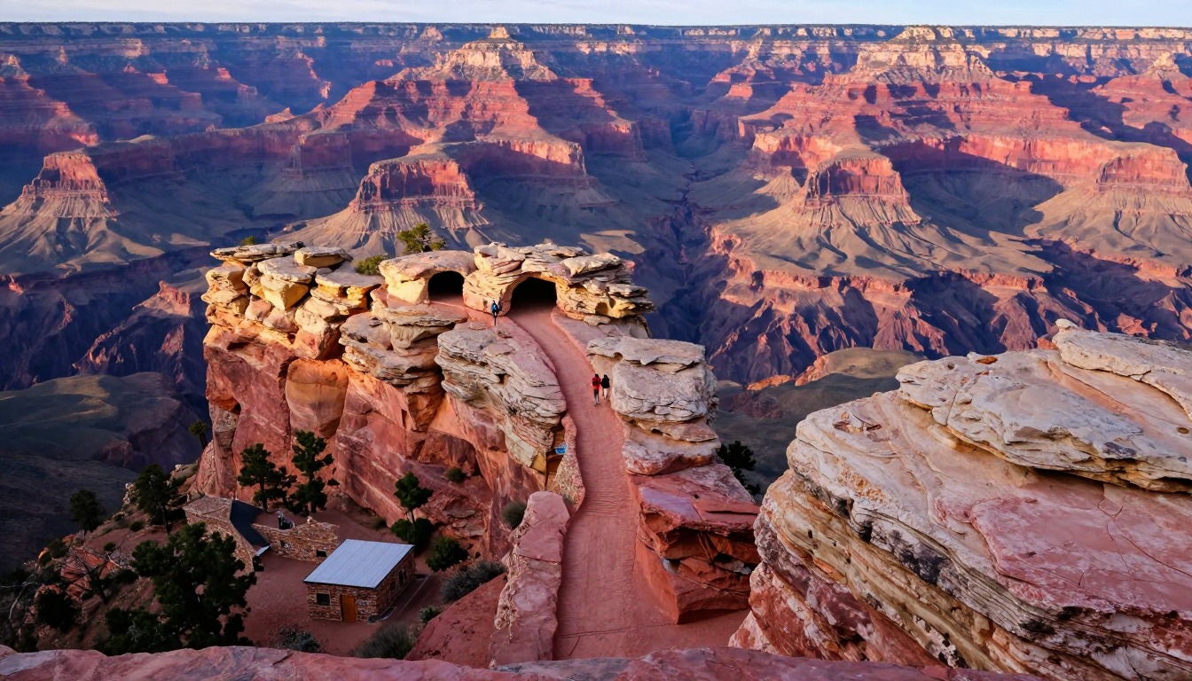
Bright Angel is a reverse hike, and that single fact shapes everything about it: the easy half comes first. The trail leaves the rim through short rock tunnels and immediately begins switchbacking down a wide, graded corridor of packed dirt and stone waterbars, dropping through the canyon's layered rock with the walls opening up as you descend. It's a maintained working route, shared with mule strings, so the tread is broad and the footing predictable rather than technical. Lower down the angle eases where the trail crosses a green, spring-fed shelf, then steepens again for the final drop through inner-canyon rock to the river. The defining sensation isn't difficulty underfoot — it's the heat and the geology thickening around you as the rim recedes overhead.
How to plan the itinerary
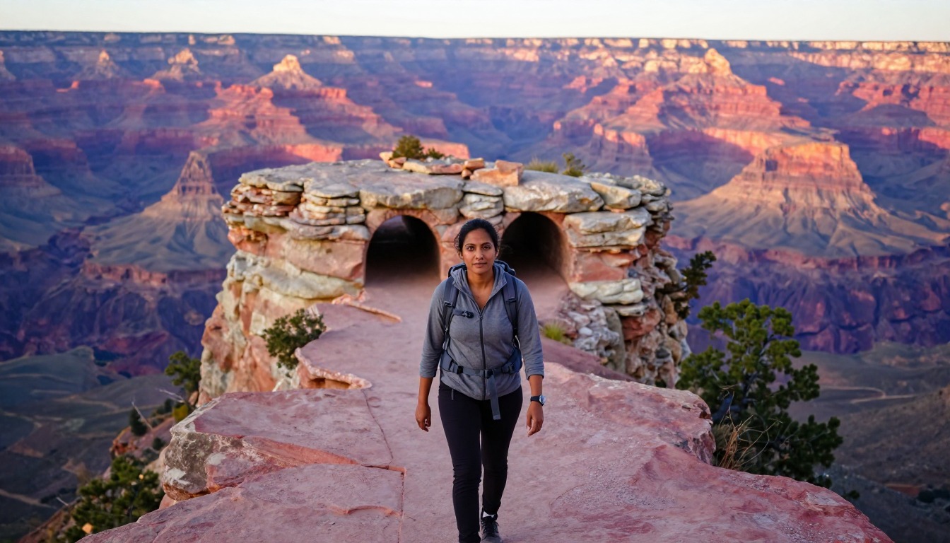
Most people never intend to reach the river, and that's the sensible default: the trail works beautifully as a there-and-back where you pick a turnaround by time rather than by destination. A reliable rule of thumb is that climbing out takes roughly twice as long as walking down, so decide your turnaround on the watch, not on how good you feel at the time — you'll feel good, because you've been descending. Hikers who do want the river almost always split the trip across days, sleeping at one of the inner-canyon options, which turns a punishing out-and-back into a descent day and a climb day. Either way, the upper trail normally has seasonal shade and water stops spaced along it (see the current-status note below), which makes short, incremental goals easy to set as you go.
Plan this trip in 5 steps
-
Pick the right pack
Match a pack to your trip, fit and priorities.
-
Book a place to stay
Campgrounds, huts and lodges near Grand Canyon — Bright Angel Trail.
-
Plan food & water
Calories, food weight and water for your days on trail.
-
Estimate your time
Pre-filled with this trail’s distance and climb — adjust for your pace.
Trail-specific tips
The one mistake that defines this trail is descending further than your climb-out budget allows, because the way down flatters you. Plan the ascent first and work backward. Start early enough that you're doing the climb in cooler air rather than the middle of the day, and eat as steadily as you drink on a hot descent — water alone isn't the whole picture over a long day. When mule strings come through, step to the inside wall and stand still until they pass. Current status note: in September 2026 the park reported overnight lodging suspended under Stage 4 water restrictions, with dry camping only, so inner-canyon beds and the seasonal water stops along the upper trail may not be operating. Check the park's Today's Key Hiking Messages for trail conditions and drinking-water availability. General heat, hydration and desert-hiking judgment is on /trail-smarts/.
Permits & rules
As of September 2026 the park reports that overnight lodging is suspended (Stage 4 water restrictions, dry camping only) — check the NPS Grand Canyon site for current status before planning any lodging or water stops. Any overnight below the rim needs a Grand Canyon backcountry permit; corridor campgrounds are in high demand and released on a rolling monthly schedule. Phantom Ranch beds are separate, by lottery, and may be affected by the current lodging suspension.
Gear suited to this hike
Matched to the terrain and conditions here. Real products — check current price on Amazon.


Current park status: check water and lodging before you plan
When checked in September 2026, the park's homepage reported that overnight lodging was suspended because of Stage 4 water restrictions, with dry camping still available.1 That matters for two statements on this page: the Phantom Ranch bed lottery and the seasonal water stops along the upper trail. Neither can be assumed to be operating, and the park's 'Today's Key Hiking Messages' notice is where it posts trail conditions, closures, the forecast and drinking-water availability inside the canyon.1
The permit rule itself is simple: to camp overnight anywhere inside Grand Canyon, you first need a permit from the Backcountry Information Center.1 Under a dry-camping arrangement, a backpacker must carry or treat all of their water, which changes pack weight and the kind of pack that makes sense. The CDC notes that most portable filters remove parasites but not viruses or bacteria, so know what yours is rated for.4
Water math on a reverse hike
The Grand Canyon's own safety page says hikers in heat can lose one to two quarts (roughly liters) of water per hour.2 Water weighs about a kilogram per liter, so every liter you carry adds about 2.2 lb.5 On a long climb out, four liters is almost 9 lb, which is why a pack with a real hip belt and a stable back panel pays off here more than on most day hikes.
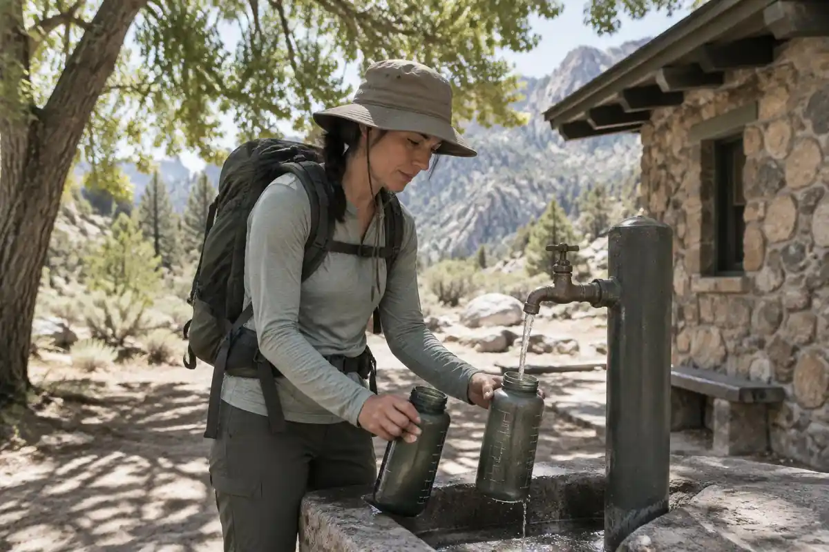
Drinking is not the whole story. The same NPS page advises salty snacks to balance water intake and warns about hyponatremia, low blood sodium from drinking too much water while losing salt.2 The CDC Yellow Book agrees that recreational hikers can develop hyponatremia and that forcing water when not thirsty raises the risk.6 The balance the sources point to is regular drinking plus regular salty food, not drinking as much as possible.
Heat illness and the time-of-day window
The NPS reports that most heat-illness rescues in the canyon involve people hiking between 10 a.m. and 4 p.m.2 Combined with the NPS rule that uphill takes at least twice as long as downhill, the planning rule becomes: descend early, and be climbing in the cooler hours, not in the middle of the day.3
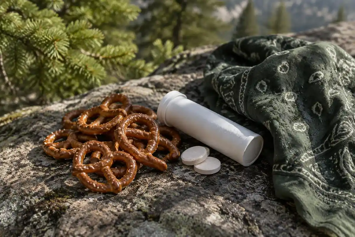
Know the signs. The National Weather Service lists heavy sweating, weakness, cool and clammy skin, dizziness, nausea and headache as heat exhaustion symptoms, and confusion, slurred speech, a body temperature above 103°F and hot skin as signs of heat stroke.7 Heat stroke is a medical emergency: call 911 or get the person to a hospital immediately.7
Common questions
How far down should I go if I only have a day?
Set a turnaround time rather than a target point. Because the climb out takes roughly double the descent, a comfortable day means turning around when about a third of your available time and energy is gone. The upper trail has spaced rest stops that make natural decision points, and turning early on a hot day is the experienced choice, not the timid one.
Is hiking down easier than a normal mountain hike?
It feels easier and isn't. Descending first means you spend your fresh legs on the simple half and face the sustained climb when you're tired, hot and low on water. Long descents also beat up knees and quads in a way that makes the return harder than the same elevation gain would be on a mountain climbed in the usual order.
What about hiking it in summer?
Inner-canyon heat in midsummer is a different order of hazard from rim temperatures, and it's why spring and fall are the seasons experienced hikers choose. If you do go in summer, treat the middle of the day as off-limits for climbing, start extremely early, and set a far shallower turnaround than you would in cooler months.
What do I do when mules come along the trail?
Move to the inside of the trail, away from the edge, stop walking and stand quietly until the whole string has passed. Follow any instruction from the wrangler. Mule traffic is routine on this corridor route, so expect to do this more than once, and factor the pauses into your timing.
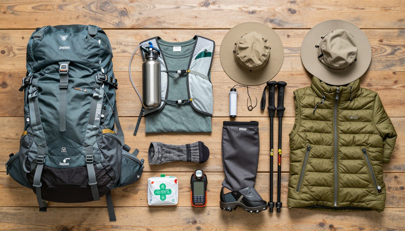
Complete gearsets for this trip
Full curated kits built for exactly this kind of hike.

Trail conditions, permits and access rules change without notice — always confirm current information on the official source above before you go. Some facts on this page are still pending owner verification and are marked accordingly. Product links and the accommodation map are affiliate links: we may earn a commission at no extra cost to you; product prices and availability are shown on Amazon, and accommodation prices on the booking site. See our affiliate disclosure.