
Affiliate disclosure: this page contains affiliate links. Purchases made through them may earn us a commission at no extra cost to you. See our affiliate disclosure.
In plain English
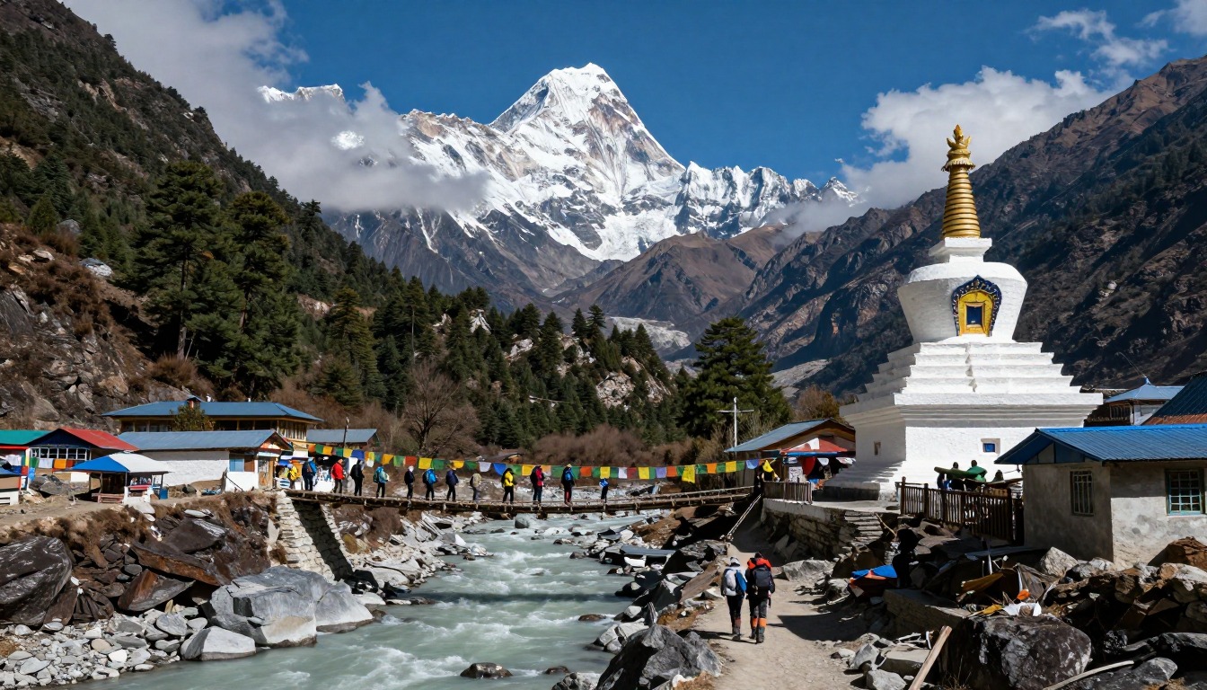
The walk to Everest Base Camp is not a climb up Everest. It is a long hike up a valley in Nepal on stone paths, suspension bridges and rough rocky ground, sleeping in simple mountain lodges along the way.
The real challenge is thin air. The higher you go, the less oxygen each breath carries, and your body needs days to adjust. If you climb too fast, you can get altitude sickness, which usually starts with a headache.1 Being very fit does not stop it from happening.1
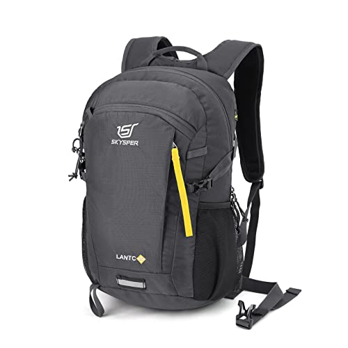
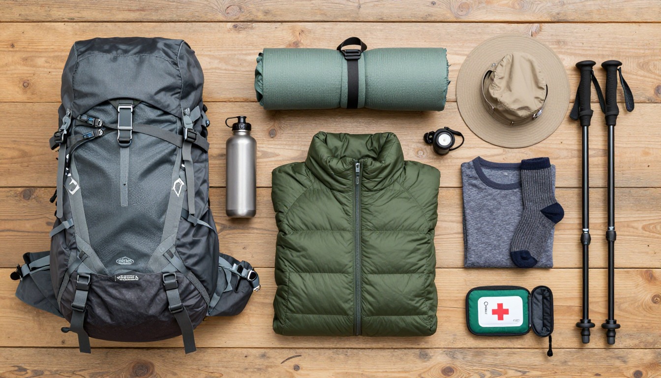
That is why the trip takes around two weeks even though the distance is not huge. The days going up are short on purpose, with rest days built in. The way down is much faster. Your pack mostly holds warm layers, sun protection, water and snacks, because lodges provide meals and beds. If you feel unwell, the answer is to stop climbing and get medical advice.
What the hike is like
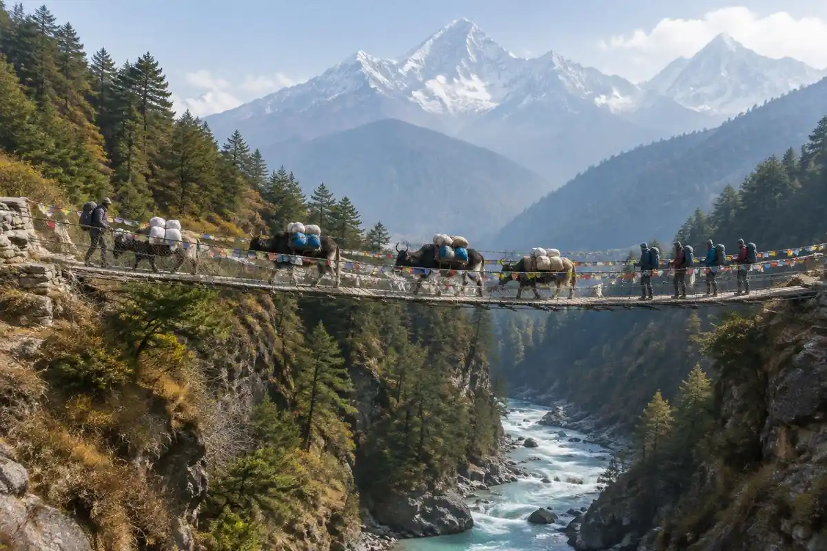
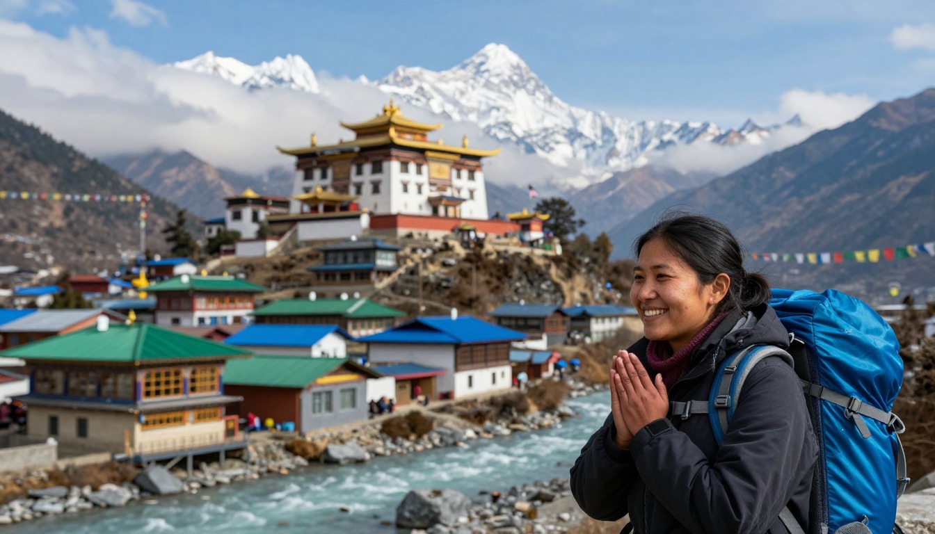
Underfoot, this is a walking trail rather than a climb — but it is a working one. The route follows the valley on a wide, stone-laid path shared with porters, yak and dzo trains and everyone else's supplies, crossing and re-crossing the river on high suspension bridges strung with prayer flags. The stretch up to Namche Bazaar is the first honest test: a sustained staircase of stone and dirt switchbacks that gains height fast. Above Namche the trail contours along the valley wall before dropping to the river and climbing again to Tengboche, a pattern of losing and regaining height that repeats all the way up. Higher still the forest gives out and the tread turns to loose moraine and broken rock, where the walking is slow and uneven more than steep.
How to plan the itinerary
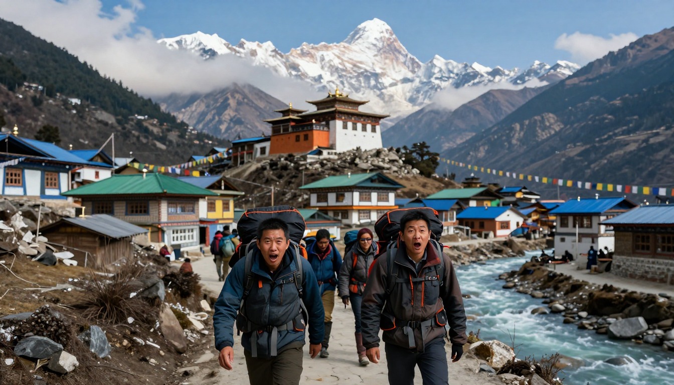
The standard shape is a slow walk up and a much faster walk down, spread across roughly a fortnight. Ascent days are deliberately short — often just a few hours' walking — because the schedule is built around gaining height gradually rather than covering ground, and set rest days at the lower village hubs and again higher up are structural, not optional padding. Most itineraries include a half-day walk to a higher point and back on those rest days, which is the standard way of letting the body meet altitude before sleeping at it. The return follows the same trail but compresses several ascent days into two or three, since losing height is quick and most people feel dramatically better each hour they descend. Build spare days into your travel plans on both ends, because mountain flight schedules are weather-dependent.
Plan this trip in 5 steps
-
Pick the right pack
Match a pack to your trip, fit and priorities.
-
Book a place to stay
Campgrounds, huts and lodges near Everest Base Camp — Namche & Tengboche.
-
Plan food & water
Calories, food weight and water for your days on trail.
Trail-specific tips
Walk slower than feels natural, especially on the climbs — this is the one trail where the people who set off fast rarely finish strongest. When a yak or dzo train comes through, step to the inside of the trail, away from the drop, and let it pass; the loads are wide and the animals don't yield. Dust on the lower trail is worth a buff or light scarf. Whether you can keep ascending is a question for your guide and a doctor, not a trail tip. General conditions and preparation advice is on /trail-smarts/.
Permits & rules
You need the Sagarmatha National Park entry permit plus the local Khumbu Pasang Lhamu Rural Municipality permit; Nepal’s rules on guides for trekkers have been revised, so check the current requirement with the Nepal Tourism Board or a licensed operator. Build in acclimatization days.
Gear suited to this hike
Matched to the terrain and conditions here. Real products — check current price on Amazon.


What the acclimatization numbers actually say
The CDC Yellow Book gives the working rules behind the slow schedule. Above about 9,850 ft, sleeping altitude should rise by no more than about 1,600 ft a day, with an extra acclimatization day for every 3,300 ft gained.1 Applied to this route, the page's figures take you from Lukla at about 2,860 m (9,380 ft) to Base Camp at 5,364 m (about 17,600 ft). Even before counting rest days, that climb from roughly 9,850 ft needs about five nights at the CDC's pace, and the extra days add two or three more. The page's roughly two-week round trip, most of it spent going up, is that math at work, not padding.
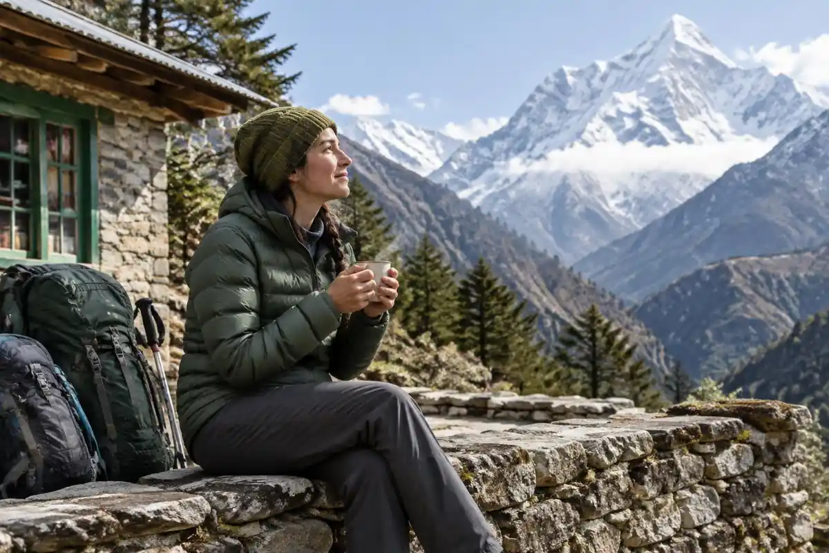
Headache is the main symptom of acute mountain sickness and typically starts 2 to 12 hours after arrival at a new altitude, so problems often show up in the evening at a new lodge.1 The CDC's rules are clear on the response: never go higher to sleep while having symptoms, however mild, and note that symptoms improve rapidly with a descent of 1,000 ft or more.1 A 2025 review of Wilderness Medical Society guidelines puts increased risk above 2,500 m, about 8,200 ft, which this trek passes on day one.4 Anything beyond a mild headache is a reason to get medical help.
Sun, cold and water above 4,000 meters
UV intensity increases about 6% for every kilometer of elevation, so at Base Camp's roughly 5.4 km you are receiving around a third more UV than at sea level on a comparable day.2 Snow and ice reflect UV and add to that, and the CDC recommends broad-spectrum SPF 30 or higher, reapplied every two to four hours.5 Glacier glasses and a sun hat are part of the core kit, not extras.
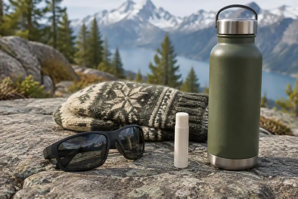
Cold is the other half. The CDC notes that frostbite usually hits the nose, ears, cheeks, fingers and toes, and that people often do not notice their own frostbite because the tissue is numb.6 Keep a spare pair of gloves somewhere dry.
For water, the CDC recommends boiling for a full minute and notes that even at about 16,000 ft, where water boils at about 182°F, it is still hot enough to inactivate intestinal pathogens.7 Portable microfilters do not reliably remove viruses such as norovirus, which matters on a busy trail with shared lodges.7
Fuel, flights and permits you should verify
If you plan to cook for yourself, flying rules come first. The TSA prohibits flammable liquid fuels, including cooking fuel, in both carry-on and checked bags, and a stove can travel only if it is emptied and cleaned of all fuel vapors.3,8 MSR notes that canister fuel is not available everywhere and that liquid fuel is often the safer bet for remote international travel.9 Most trekkers here rely on lodge meals instead, which keeps the pack lighter.
Guides commonly say you need a Sagarmatha National Park entry permit, a local municipality permit and a licensed guide. For this update, those rules could not be checked against an official Nepali government source, so confirm the current permit and guide requirements with your licensed trekking operator or Nepal's tourism authorities before you book.
Common questions
Is the trek technical? Do I need climbing experience?
No. There's no rope work, no glacier travel and nothing that needs mountaineering skill on the standard route — it's walking, on trails used daily by villagers and porters. The demanding parts are the sheer number of consecutive walking days, the rough moraine underfoot higher up, and the thin air, not the terrain itself.
Why are the days so short, and can I just go faster?
Short days and built-in rest days exist so your body has time to adjust to the altitude, not because the distances are hard. Compressing the schedule is the most common mistake people make here and the reason trips get abandoned. If you're short on time, shorten the trek's goal rather than the ascent profile.
How fit do I need to be?
Fit enough to walk uphill for several hours a day, on consecutive days, carrying at least a daypack. It isn't a speed or strength challenge — it's an endurance and patience one. Regular hill walking with a pack in the months beforehand prepares you far better than gym cardio, mostly because it trains your legs for descent as well as climb.
What's the trail actually like underfoot?
Mostly hard-packed dirt and laid stone in the lower valley, with plenty of stone steps and some dusty sections. Higher up it becomes loose moraine and rubble, where you pick your way over uneven rock rather than stride. Sturdy boots with decent ankle support and a good sole earn their keep on that upper ground.
Complete gearsets for this trip
Full curated kits built for exactly this kind of hike.
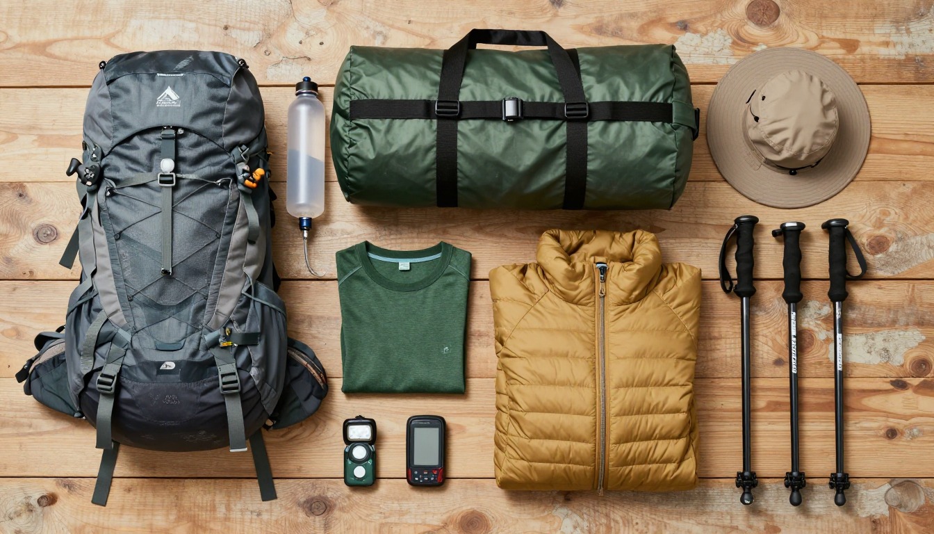
Trail conditions, permits and access rules change without notice — always confirm current information on the official source above before you go. Some facts on this page are still pending owner verification and are marked accordingly. Product links and the accommodation map are affiliate links: we may earn a commission at no extra cost to you; product prices and availability are shown on Amazon, and accommodation prices on the booking site. See our affiliate disclosure.