
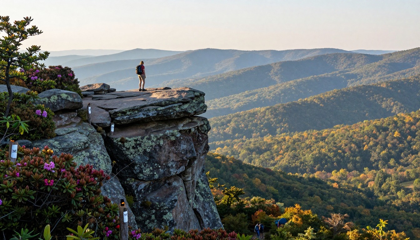
Illustrative artwork — an impression of Appalachian Trail — McAfee Knob, not a literal photograph.
McAfee Knob's jutting slab above the Blue Ridge is the most-photographed spot on the entire Appalachian Trail, reached by most hikers on an out-and-back day hike of about eight miles near Catawba and Roanoke, Virginia. As a day hike, sleeping is simple — back in Roanoke that night — but hikers combining it with nearby Tinker Cliffs and Dragon's Tooth into an overnight Triple Crown loop have two other choices: a free, first-come AT shelter, or a hostel near the trail's VA-311 crossing.
Why hike here
The draw is that single slab of rock jutting out over the valley — flat enough to stand on, with nothing but air and the Catawba Valley spread out below, which is why it shows up in more Appalachian Trail photos than any other point on the trail's 2,000-plus miles. Linking it with Tinker Cliffs' rock-rimmed ridgeline and the scramble up Dragon's Tooth's spine of jagged rock turns one postcard viewpoint into the Triple Crown, a loop that trades a single big view for three distinct ones in one push. The trail climbs out of the Catawba valley floor through Blue Ridge forest to open rock, then drops back into trees. Spring, once the trees leaf out and before summer haze sets in, and fall, when the ridgeline turns color, are when the views are clearest and the footing driest.
Getting there
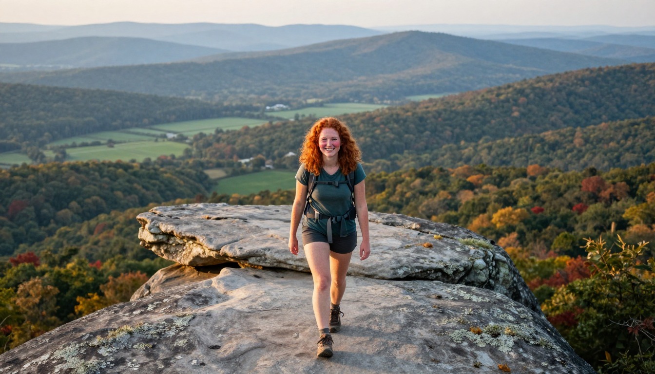
The most direct way in is to fly into Roanoke–Blacksburg Regional Airport, then drive about 25 minutes to the McAfee Knob trailhead parking lot on VA-311. Roanoke and neighboring Salem give hikers a full range of hotels for the night before or after, typically a 20-to-30-minute drive from the trailhead. No permit is required to hike to the knob, but the parking lot is small and fills early on weekends and during peak fall-foliage weeks, so an early start matters as much as any gear choice.
Where to stay
The realistic options, closest-to-the-trail first. Book through the official links — we don't list prices or availability because they change all the time.
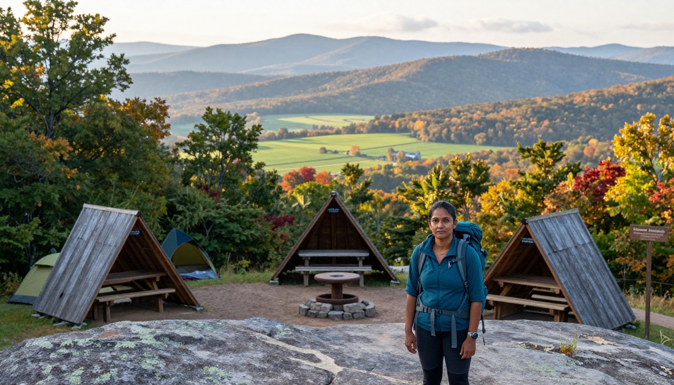 Illustrative — evokes the setting, not a specific property.
 For example: Three-sided lean-tos near the ridge — Johns Spring, Catawba Mountain and Campbell shelters
Backpackers turning the knob into an overnight loop.
Classic AT shelters: no fee, no booking, leave no trace.
First-come, free (no reservation)For example: Long-running hiker hostels near the VA-311 crossing serve thru- and section hikers
Hikers wanting a bunk, a shower and a shuttle near the trailhead.
Availability and seasons vary — call ahead.
Contact the hostel directlyFor example: A full range of hotels and rentals 20-30 minutes from the trailhead
Day hikers wanting comfort and restaurants nearby.
Plenty of choice; no need to book far ahead outside peak leaf season.
Search lodging in Roanoke, VAPermits & rules
No permit is needed to hike McAfee Knob or use AT shelters. Camping is only at designated sites/shelters along this stretch, and campfires may be restricted — check current conditions with the ATC.
Gear you'll want for this trip
Matched to the terrain and conditions here. Real products — check current price on Amazon.


Common questions
Do I need a permit to hike McAfee Knob?
No permit is required for a day hike to McAfee Knob. If you're camping overnight along the Triple Crown loop, camping is only allowed at designated shelters and campsites, and campfires may be restricted, so check current Appalachian Trail Conservancy guidance before you go and pack out everything you carry in.
Where do hikers actually sleep if they turn this into an overnight trip?
Most people day-hike McAfee Knob and sleep in Roanoke. Those extending it into the Triple Crown loop have two options: free, first-come Appalachian Trail shelters like Johns Spring, Catawba Mountain, and Campbell, or one of the long-running hiker hostels near the trail's VA-311 crossing in Catawba — it's worth calling ahead.
How hard is the hike, and when's the best time to go?
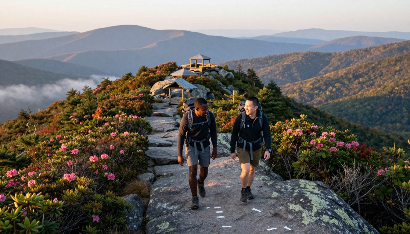
The out-and-back to McAfee Knob runs roughly eight miles, a manageable day hike for anyone in reasonably good hiking shape. April through June and September through November bring the clearest skies and best footing; check the forecast before you go, since exposed rock at the summit gets windy and slick when it's wet.
Complete gearsets for this trip
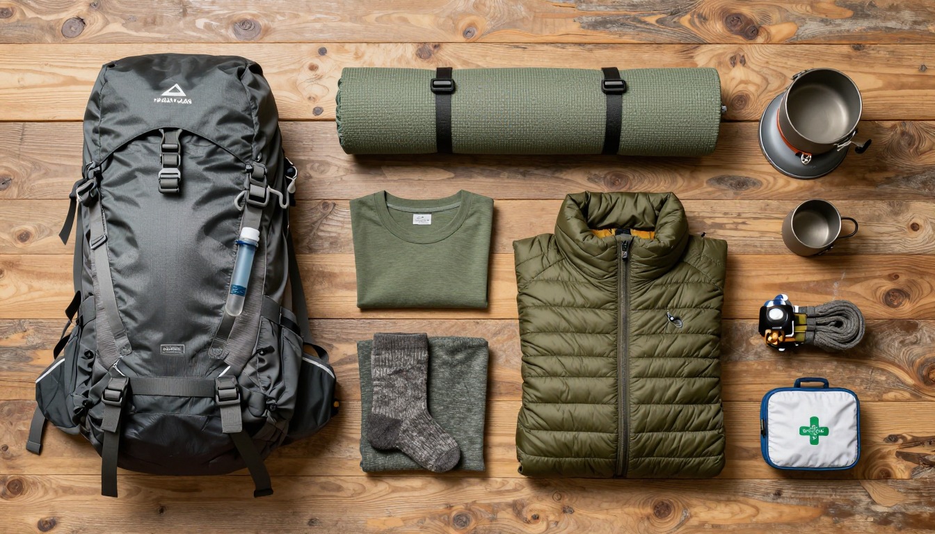
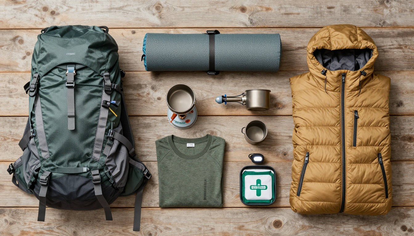
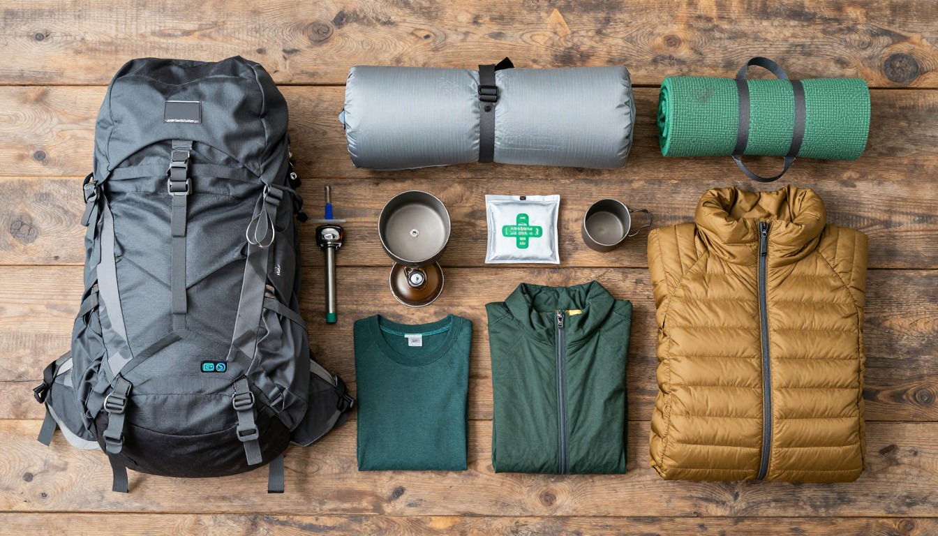
Full curated kits built for exactly this kind of hike — what to bring, why, and links to similar gear.
Lodging details are compiled from official parks, refuge associations and reservation systems and can change without notice. We publish no prices, availability or ratings — always confirm current information on the official site before booking or setting out. Product links are affiliate links: we may earn a commission at no extra cost to you; prices and availability are shown on Amazon. See our affiliate disclosure.