
Affiliate disclosure: this page contains affiliate links. Purchases made through them may earn us a commission at no extra cost to you. See our affiliate disclosure.
In plain English
The Path of the Gods runs along a high cliff above the Amalfi Coast, and most people walk it in a day. Because the path stays up in the hills, you sleep either down on the coast or up in the hill town where the walk begins.
The park that manages the trail lists a third option that this page does not mention. A small village called Nocelle, at the end of the walk, has a couple of B&Bs. That means you could finish the walk, sleep there and go down to the coast the next day, instead of racing for a bus.
Two details shape what you carry. The only spring the park mentions is near the start, so you fill a big bottle before you go. And the walk ends with about 1,700 steps, which are hard on toes and thighs, so good socks and shoes matter more than fancy gear.
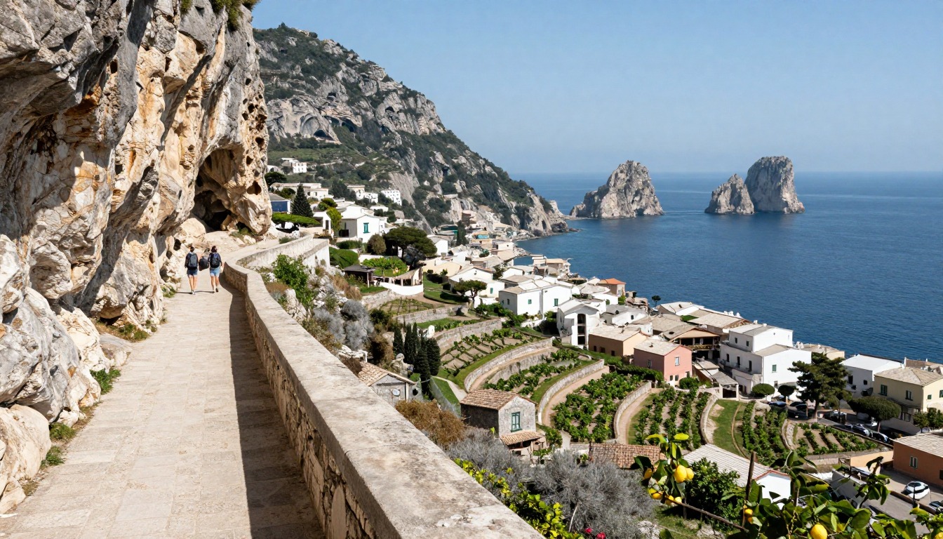
The Path of the Gods (Sentiero degli Dei) is a clifftop day hike high above the Amalfi Coast, most often walked downhill from Bomerano, in the hill town of Agerola, to Nocelle above Positano, where a long staircase carries you down to the sea. Because the trail runs above the coastal towns rather than through them, where you sleep comes down to a choice: stay on the coast below, or base yourself up in the cooler hills near the trailhead.
Why hike here
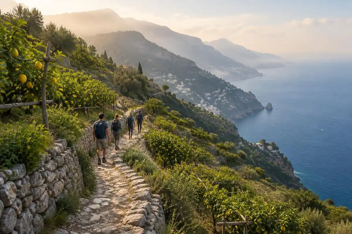
What makes this walk special is the vantage it gives you on a coastline usually seen from below. The trail runs along the cliffs high above Positano, Praiano, and Amalfi, the sea a long way down and terraced lemon groves and whitewashed villages clinging to the slopes beneath you. Because the path is exposed in places, the light and the drop-off become part of the experience — open sky, thin scrub, stone underfoot, and long views up and down the coast rather than shade and cover. The walk ends with a genuine change of register: after miles of cliff-edge trail, the long staircase down into Nocelle drops you from wide-open ridgeline into the terraced gardens and narrow lanes above Positano, the sea rising to meet you step by step.
Getting there
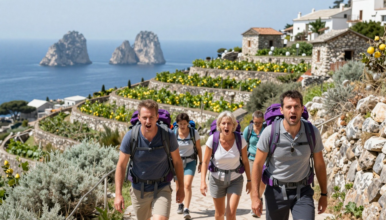
The realistic route in is to fly into Naples, the main gateway airport for the region, then continue by train or bus down to the Amalfi Coast. From there, local buses connect the coastal towns — Positano, Praiano, Amalfi — with Agerola and Bomerano, where most hikers start the trail; the coast road is narrow and buses can run slow and crowded in peak season, so build extra time into your travel day. Hikers based up in Agerola reach the Bomerano trailhead directly, while those staying on the coast typically bus up before walking back down.
Where to stay
The realistic options, closest-to-the-trail first. Book through the official links — we don't list prices or availability because they change all the time.
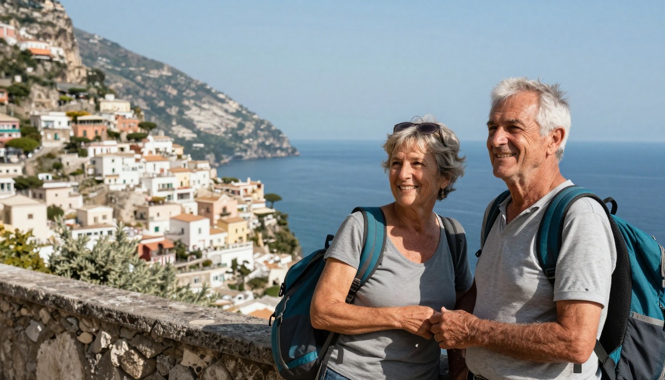
For example: Hotels, B&Bs and rentals in the Amalfi Coast towns below the trail
Most visitors — sleep on the coast and reach the trail by bus.
Rooms are pricey and busy in season; book early.
Coastal-town lodgingFor example: Guesthouses and rentals up in Agerola at the trail’s usual start
Hikers who want a quieter, cooler base at the trailhead.
Starting from Bomerano means walking the classic downhill direction to Nocelle.
Village lodging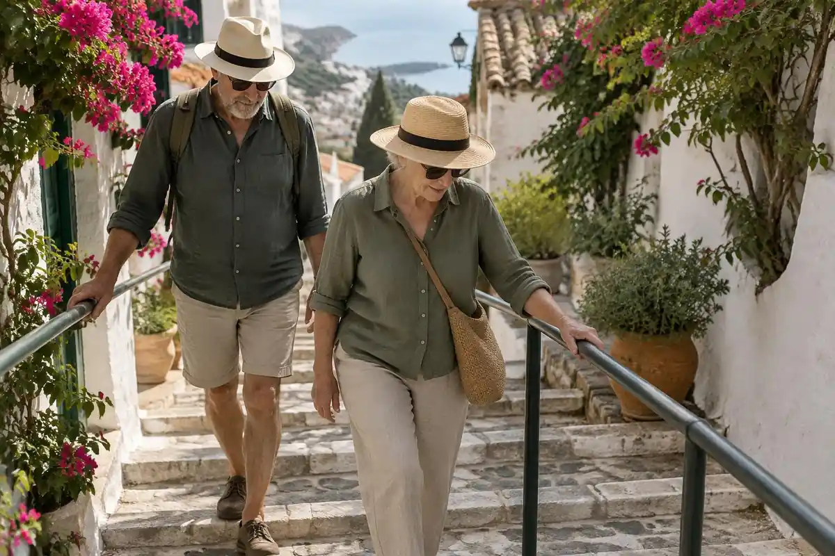
Permits & rules
No permit is required. Most hikers start high at Bomerano (Agerola) and finish at Nocelle above Positano, where a long staircase drops to the coast. Carry water and sun protection — parts of the path are exposed and hot.
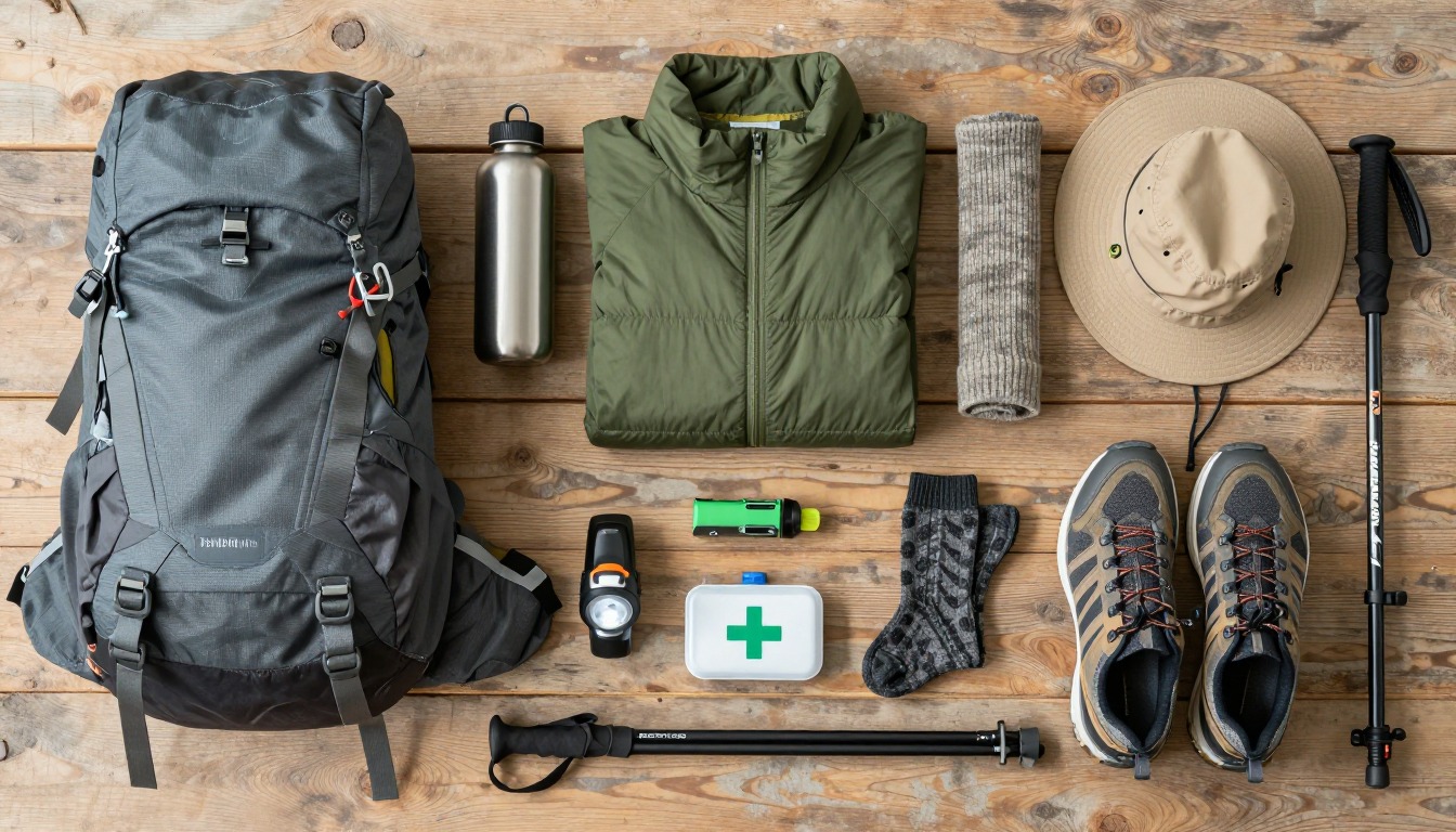
Gear you'll want for this trip
Matched to the terrain and conditions here. Real products — check current price on Amazon.


Three ways to sleep: coast, hills and Nocelle
The Monti Lattari Regional Park describes the low path as starting in Piazza Paolo Capasso in Bomerano, in Agerola, where drivers can park freely about 100 m beyond the main square, and ending at Nocelle, from where about 1,700 steps drop roughly 420 m to the coast road at Arienzo.1 From there you can walk about 10 minutes to Positano or take a SITA bus to Bomerano via Amalfi, and frequent SITA buses reach Agerola from Amalfi, Castellammare di Stabia and Naples.1
So there are three real bases. On the coast you climb by bus or on foot before the walk. In Agerola you start at the door. And Nocelle has a couple of B&Bs and a drinking fountain, according to the park, which suits a slow finish and a night at the end.1 Confirm bed availability, bus times and any local rules with the lodging and the park before you go.
Reading the route: low path, high path and exposure
The park notes there is a second route also called the Sentiero degli Dei, CAI path 02, a variant of the Alta Via dei Lattari, which it calls the high path, and says it recommends the low path because it is more spectacular and accessible to all.1 It describes the low path as always easy and marked, with kilometer markers every 100 m, but exposed and unprotected in places, and describes a stretch of over 1 km as very exposed, so children should be watched or held by the hand.1 Some guides say the path is exposed the whole way; the park says exposed in places, with an easy, marked path between.
A shorter park summary of the route lists about 6 km and roughly three hours to Nocelle, with 200 m of elevation change, which fits the four-hour total once the descent is added.3 Because exposure and heat are the risks, not navigation, the sleeping choice matters most for timing. The National Park Service advises setting a turnaround time and planning for uphill sections to take at least double the downhill time.4
Steps, feet and water
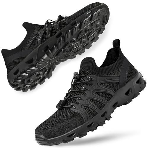
The park says the last part, the descent from Nocelle to Positano, needs care because the 1,700 steps should be taken calmly to avoid muscle trouble and blisters.1 The American Academy of Dermatology recommends nylon or moisture-wicking socks, properly fitting shoes, and stopping when skin becomes painful or red.2
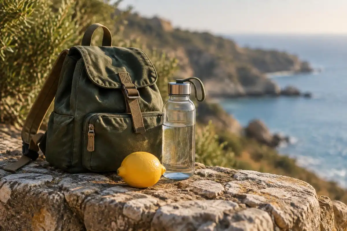
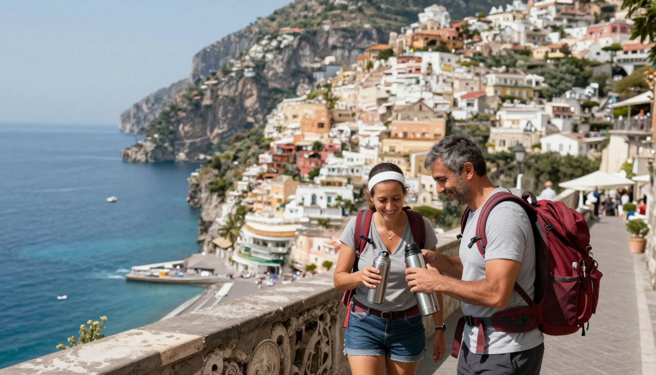
Water is worth planning. The park says the spring is at the start of the route, so a large bottle is advisable on hot days, and the fountain at Nocelle is welcome before the long descent.1 The US Centers for Disease Control and Prevention notes that sweat rates can reach 1 liter per hour, and that UV exposure is most intense from 10 a.m. to 4 p.m.5,6 A day pack of 25 to 30 liters, the size Washington Trails Association gives for a full-day hike, is plenty.7
Common questions
Where should I stay to hike the Path of the Gods?
Most hikers base themselves in the coastal towns below the trail — Positano, Praiano, or Amalfi — in hotels, B&Bs, or rentals, reached by local bus. An alternative is to stay up in Agerola, near the Bomerano trailhead, where guesthouses tend to be quieter and cooler than the busy coast and put you right at the start of the walk.
When is the best time to hike the Path of the Gods?
April through June and September through October are generally considered the best windows, with milder temperatures for a trail that offers little shade. Summer on the Amalfi Coast gets hot, and the exposed cliffside path has no real relief from the sun, so carry plenty of water and sun protection whenever you go.
Do I need to book accommodations in advance?
Rooms along the Amalfi Coast get busy during hiking season, so booking ahead is a sensible precaution rather than an optional extra. This applies to both the coastal towns below the trail and the guesthouses up in Agerola, since neither area is set up for a large last-minute influx of hikers.
Complete gearsets for this trip
Full curated kits built for exactly this kind of hike — what to bring, why, and links to similar gear.

Lodging details are compiled from official parks, refuge associations and reservation systems and can change without notice. We publish no prices, availability or ratings — always confirm current information on the official site before booking or setting out. Product links and the accommodation map are affiliate links: we may earn a commission at no extra cost to you; product prices and availability are shown on Amazon, and accommodation prices on the booking site. See our affiliate disclosure.