Affiliate disclosure: this page contains affiliate links. Purchases made through them may earn us a commission at no extra cost to you. See our affiliate disclosure.
In plain English
Ordesa is a mountain park built around one big peak, Monte Perdido, with several deep valleys running away from it like the spokes of a wheel. The valley floors are green with forest, meadow and waterfalls. The high ground above is bare and stony, with snow for much of the year.
That difference is the key to choosing where to sleep. If you only want to walk the valley, you sleep in a village at the bottom and go in for the day. If you want to climb the peak, you sleep in a mountain refuge, a simple lodge high up, so that you start the final climb already partway there.
Sleeping high has a cost as well as a benefit. The thinner air can make some people feel unwell, especially if they came up quickly from the coast. That is why the plan is to arrive early, drink water, and be ready to walk back down if you feel bad.
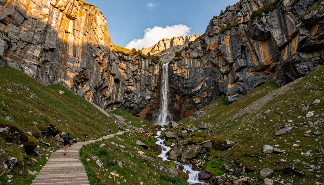
Ordesa y Monte Perdido National Park sits deep in the Spanish Pyrenees in Aragón, its centerpiece a dramatic glacial canyon carved beneath Monte Perdido. The classic day walk climbs the valley floor to the Cola de Caballo waterfall — long, but non-technical the whole way — while the gateway village of Torla holds the hotels, guesthouses, and casas rurales most hikers actually sleep in. Anyone continuing higher toward Monte Perdido itself sleeps in a high mountain refuge instead.
Why hike here
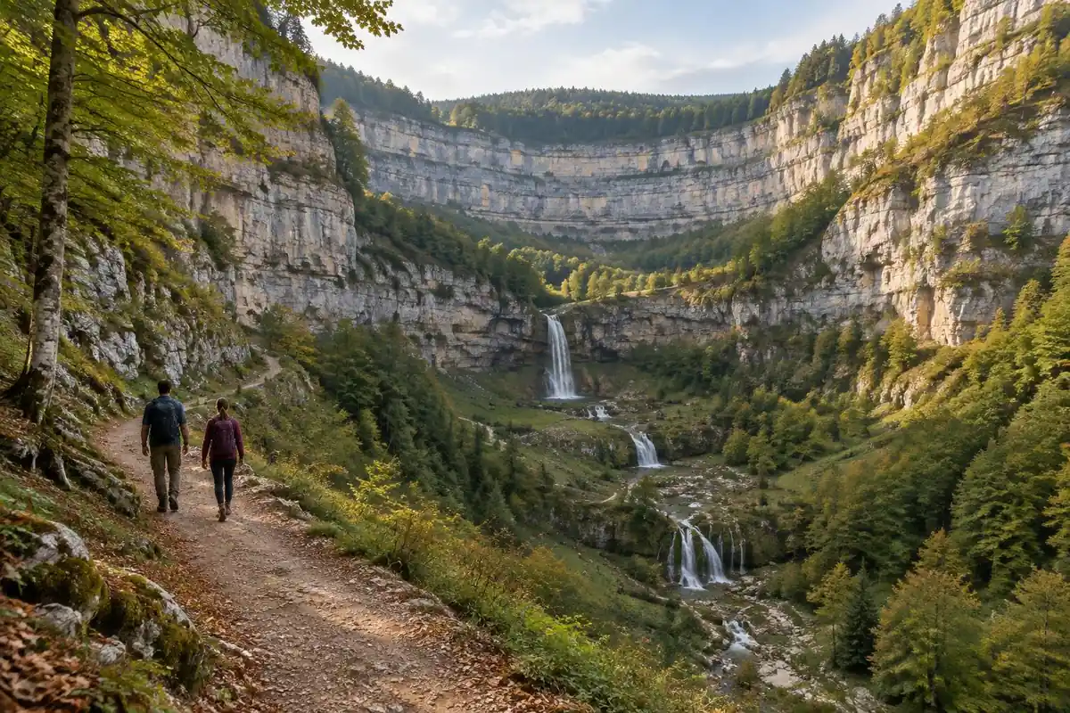
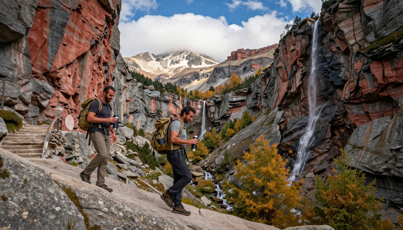
Ordesa is a canyon on a scale that takes a minute to register — sheer limestone walls rising on both sides of a valley floor that's forested and green, with the glacial mass of Monte Perdido closing off the head of it. The walk to Cola de Caballo follows the valley up through beech and fir, past a series of cascades, before the trees fall away and the waterfall itself drops over a rock lip at the base of the high country. It's a long day out and back, but the grade stays reasonable, so the reward is proportional to steady walking rather than technical skill. For those with more time and the right experience, the plateau above opens onto the approach to Monte Perdido, a genuinely alpine objective that turns this from a day hike into a mountaineering trip.
Getting there
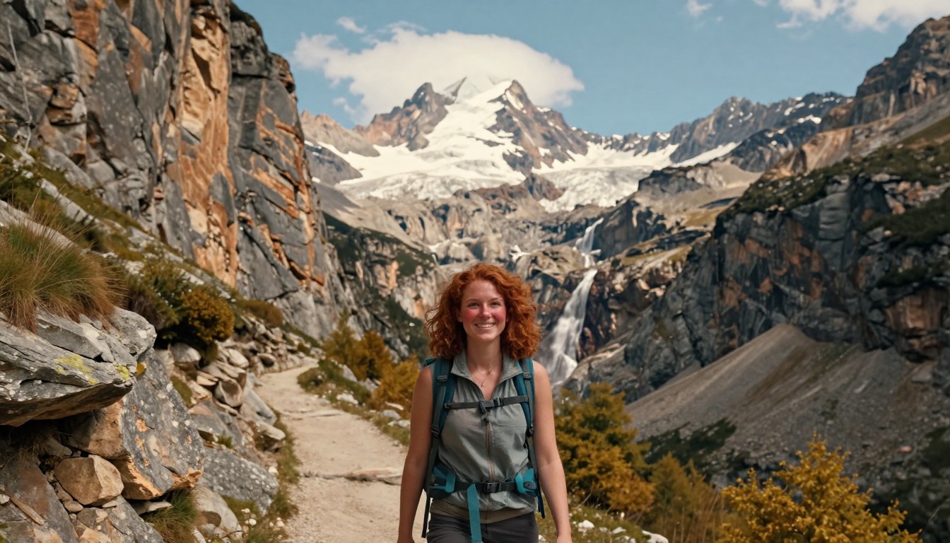
The nearest major airports are Madrid and Barcelona, with Zaragoza's regional airport closer still; from any of them, the route into the park runs by road up through Aragón toward the gateway village of Torla, the last town before the canyon. In the high season, when private vehicles are restricted from driving into Ordesa itself, hikers leave their car in Torla and finish the approach on the seasonal shuttle bus that runs into the canyon. Outside a rental car, the practical option is a bus or transfer service from one of the regional hubs into Torla.
Where to stay
The realistic options, closest-to-the-trail first. Book through the official links — we don't list prices or availability because they change all the time.
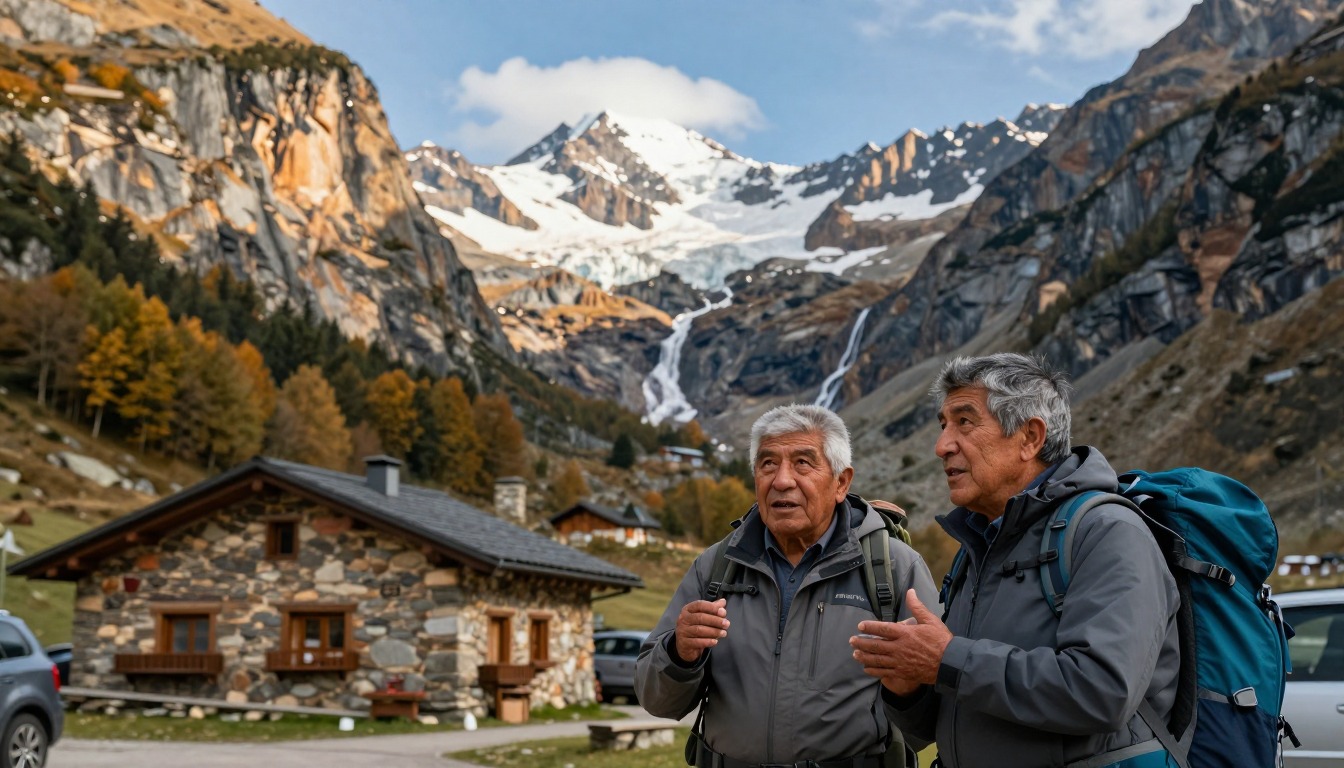
For example: Hotels, guesthouses and casas rurales in Torla, the gateway village
Most hikers — Torla is where the canyon shuttle starts.
In busy periods car access is restricted; check the park’s access guide for current transport arrangements.
Village lodgingFor example: Mountain refuges on the plateau for those climbing toward Monte Perdido
Backpackers and peak-baggers heading high above the canyon.
The high refuge is the base for the Monte Perdido ascent; it fills in season.
Book the refuge ahead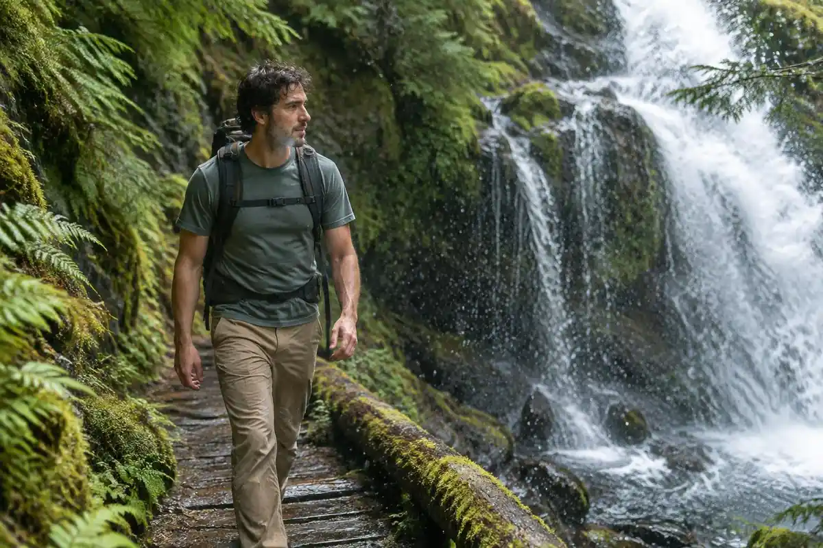
Permits & rules
No permit is needed for the canyon walks, but car access into the canyon is restricted in busy periods, so check the park’s access guide. The classic walk to the Cola de Caballo waterfall is long but non-technical; climbing Monte Perdido is a serious alpine undertaking.
Gear you'll want for this trip
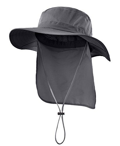
Matched to the terrain and conditions here. Real products — check current price on Amazon.


Four valleys, one base
Spain's national parks agency says the peak of Monte Perdido, at 3,355 meters, and the summits of the Tres Sorores dominate the park, and that the valleys of Ordesa, Pineta, Anisclo and Escuain descend from the massif.1 It describes the landscape as one of great contrasts: extreme aridity in the high areas, where rain and meltwater filter into cracks and sinkholes, against green valleys with forests, meadows, waterfalls and canyons.1 The park has grown from its original core to its present 15,608 hectares.1
For lodging, that means a single village base serves only part of the park. The existing page uses Torla, the gateway village, as the base for the canyon walks, and that suits Ordesa itself. If you want another valley, you will be arranging separate transport or a different base. Shuttle timetables, parking and refuge booking rules are set locally and change by season, so confirm them with the park information office before you plan around them.
A refuge night is an altitude decision
The existing page treats the Monte Perdido climb as a serious alpine undertaking that relies on a high refuge. The agency's description of the high ground as a vast high desert of blizzards, snow, bare rock and glacier remnants supports that framing.1
The CDC's travel guidance says any unacclimatized person sleeping at 8,000 feet or higher is at risk of altitude illness, and that physical fitness does not protect against it.2 Headache is the main symptom of acute mountain sickness, typically starting two to twelve hours after arrival at altitude, and the guidance says never to go higher to sleep while having symptoms, however mild.2 It also says mild symptoms improve rapidly with a descent of 1,000 feet or more.2 Monte Perdido's summit is roughly 11,000 feet, so if your refuge night is near or above the 8,000 foot mark, treat headache or nausea as a reason to go down, not to push on. Ask the refuge for its elevation and current conditions when you book.
If a doctor's advice on altitude matters for your health, ask before you travel.
Two trips, two packs
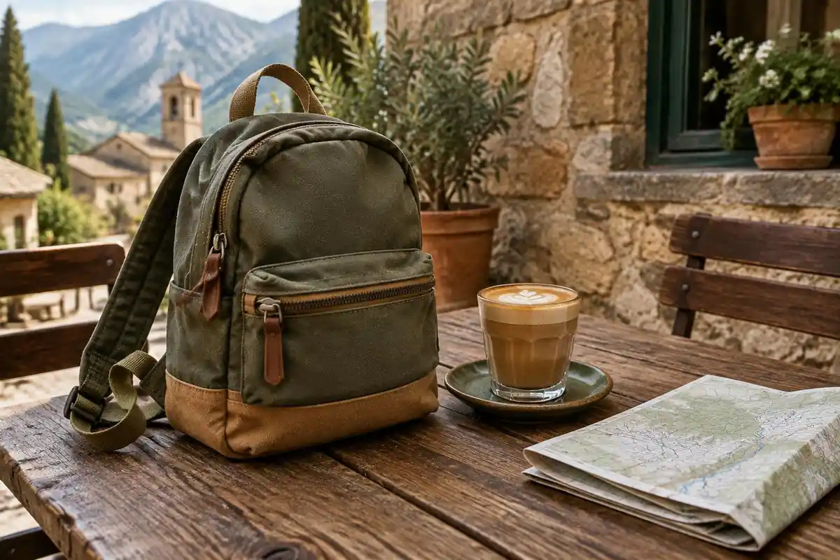
A valley day and a refuge night call for different loads. The Washington Trails Association gives 25 to 30 liters as a good full-day size and 45 to 50 liters for a standard one- or two-night trip.3 A refuge often changes what you carry, because a shelter, and sometimes bedding and meals, may not be your job to bring, but you should confirm what the refuge provides.
Camping and bivouac rules inside a national park are set by the park itself, so confirm them with the park before you pack a tent. Pack your heaviest items, such as food and water, about two-thirds of the way up the main compartment and against your back.4
Common questions
Do I need to book the mountain refuge in advance if I want to climb Monte Perdido?
Yes. Climbing toward Monte Perdido is a serious alpine undertaking that relies on a high mountain refuge on the plateau, and those beds fill up in the short summer season. Reserve ahead rather than assuming a walk-in spot, and treat the ascent itself as a mountaineering objective, not an extension of the valley walk to Cola de Caballo.
Can I drive into the canyon myself?
Not usually in the busy months. To protect the canyon from congestion, private cars are restricted during peak season, and a seasonal shuttle bus carries hikers in from Torla instead. Outside that window, access rules can differ, so it's worth checking the current situation before you plan around driving all the way to the trailhead.
When's the best time to hike to Cola de Caballo?
June through October is the best window, when trails are clear of snow and the shuttle system into the canyon is running. Outside that season, conditions higher up turn more wintry and services in Torla scale back, so shoulder-season and off-season hikers should check conditions and shuttle availability before committing to the walk.
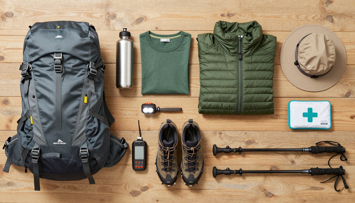
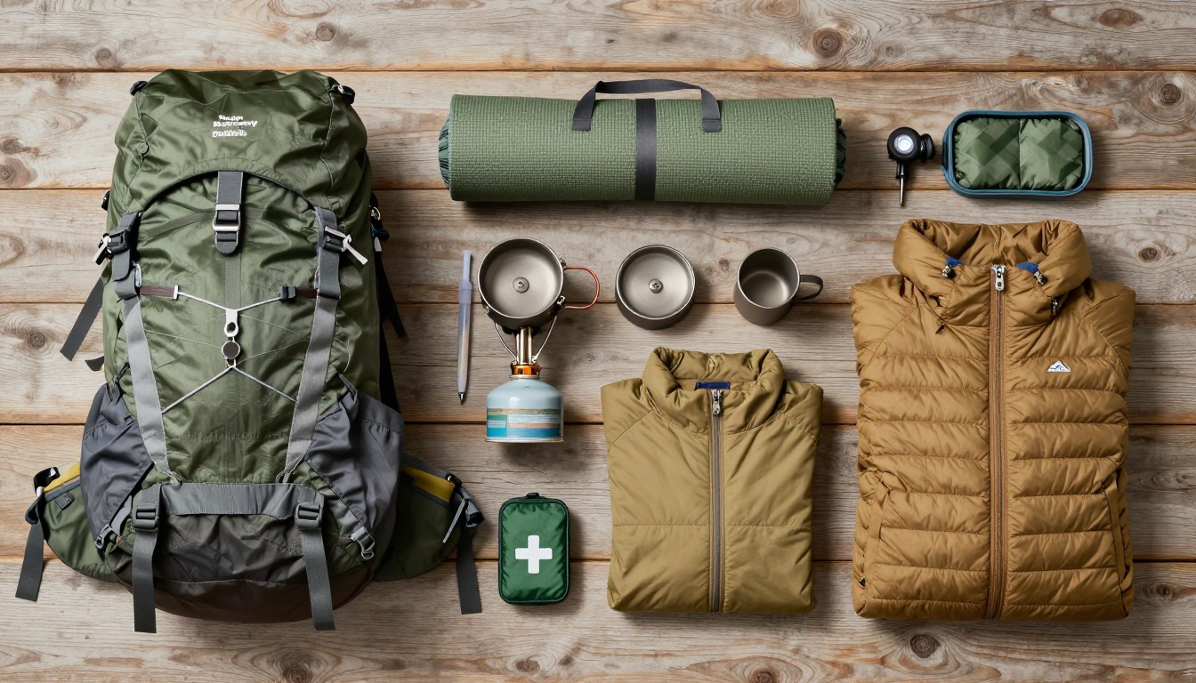
Complete gearsets for this trip
Full curated kits built for exactly this kind of hike — what to bring, why, and links to similar gear.
Lodging details are compiled from official parks, refuge associations and reservation systems and can change without notice. We publish no prices, availability or ratings — always confirm current information on the official site before booking or setting out. Product links and the accommodation map are affiliate links: we may earn a commission at no extra cost to you; product prices and availability are shown on Amazon, and accommodation prices on the booking site. See our affiliate disclosure.