
The off-trail navigation setup
Leave the marked trail and the rules change: there's no tread to follow, no blazes to count on, and the one thing you actually need is to always know where you are. This is the off-trail navigation setup — the layer you add to a normal day pack for bushwhacking and route-finding, built around gear you can trust even when a screen goes dark or a signal never arrives.
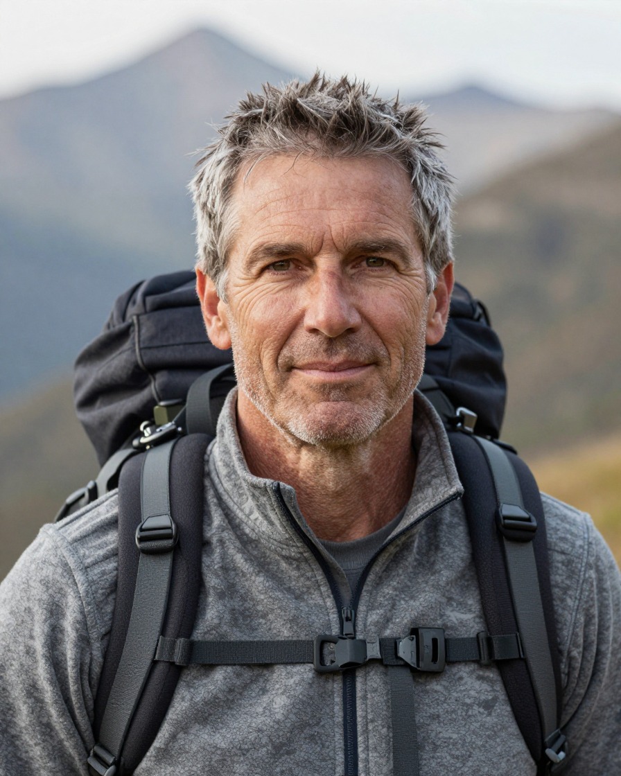
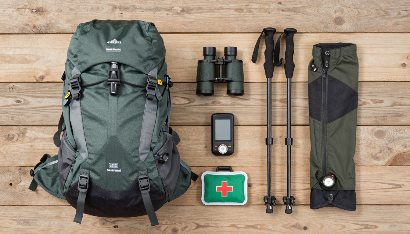
This kit is built on a hierarchy, not a pile of gadgets. A paper map and compass are the core, because they never run flat and never lose satellite lock under tree cover. A GPS app or handheld unit is a fast, genuinely useful supplement, carried with real backup power because it will eventually die at an inconvenient moment. An altimeter cross-checks both against the one measurement off-trail terrain rarely lies about — elevation. None of it replaces the skill underneath: taking a bearing, walking it without drifting, and reading the handrails and backstops already written into the landscape. The gear only works if you already know how to use it before you need it.
This suits hikers who already navigate confidently on marked trails and are ready to leave them — for a cross-country route, a peak with no path to the summit, or a shortcut through open woods — usually with a specific plan and a way to bail out already in mind. If you've never taken and walked a compass bearing, practice on a trail you know before trying it somewhere you don't; a class or an experienced mentor is worth more here than any single piece of gear. This isn't a setup for glacier travel, technical scrambling, or avalanche terrain — those need their own formal training and equipment well beyond a map and compass.
- Start with your usual day-hike kit, then add the pack space this setup needs — map and compass within easy reach, not buried at the bottom.
- Build the trustworthy core first: a full paper topo map of the route, not just a screenshot, and a compass you already know how to use.
- Layer in the backup — a GPS app or handheld with your route and offline maps downloaded, real spare power, and an altimeter to cross-check elevation.
- Add brush-ready clothing, a satellite messenger for terrain with no signal, and the habit of logging your bearings, distances and handrails as you go.
About this setup
Off-trail hiking — bushwhacking, cross-country travel, whatever you call it locally — strips away the one thing a maintained trail quietly does for you: it tells you where to walk. Without tread, blazes or cairns, staying found becomes the entire job, not a background task you check on occasionally. That shift is why this kit looks different from a standard day-hike list: it isn't about doing more, it's about doing navigation with real redundancy, because there's no one else's footprints to follow if your first read on the terrain turns out to be wrong.
The redundancy runs in a deliberate order. Map and compass sit at the bottom because they're the most reliable — no battery to die, no canopy to block a signal, no screen to crack. A GPS app or handheld device sits above that as a fast, genuinely convenient supplement, useful for confirming a position in seconds, as long as you've packed real backup power and treated it as a second opinion rather than the only one. An altimeter adds a third, independent check: elevation is often the one number the map and the ground underfoot still agree on, even when a landmark is hard to pick out in dense brush or flat light. A satellite messenger sits at the far end of that chain, for the moment none of the rest gets you help fast enough.
None of that hardware replaces the skills that make it useful. Taking a bearing and walking it accurately, without letting your line drift around obstacles, is a practiced habit, not something you improvise the first time it matters. Handrailing — following a ridge, a streambed or an old road grade that roughly tracks your direction of travel — is usually faster and far harder to lose than walking a raw compass bearing through blind terrain. Picking a backstop, a large feature like a road or a river beyond your target, means an overshoot corrects itself instead of turning into being lost. Logging bearings, pace counts and handrails as you go is what makes all of it reversible if you need to walk your own route back out. Practice these on ground you already know, and treat anything involving steep snow, glaciers or avalanche terrain as a different discipline — one that needs formal training, the right equipment, and a trained partner well beyond what's in this kit.
The pack
Off-trail travel eats more pack space than a marked-trail hike does — extra layers for brush, backup navigation gear, and pockets you can reach without stopping to dig.
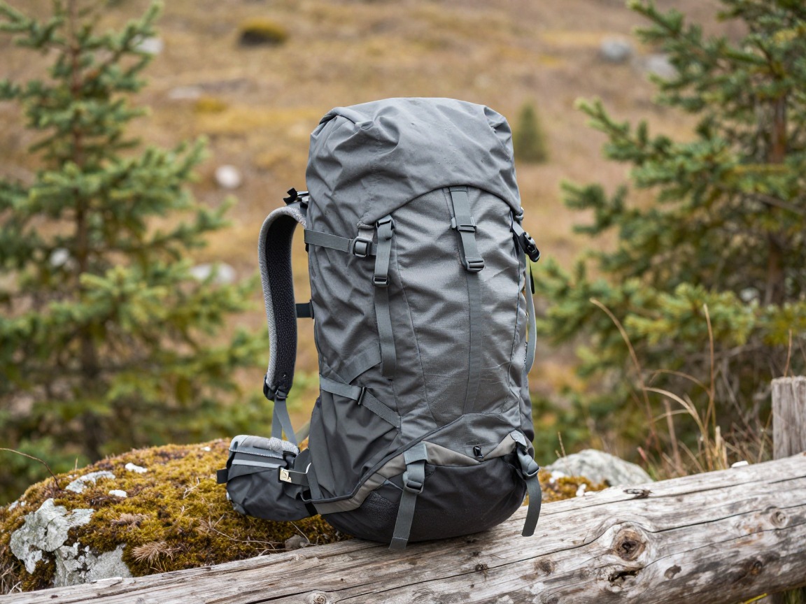
Off-trail daypack
Carries the doubled-up navigation gear, brush layers and safety kit, with pockets you can reach without taking the pack off to check a bearing or a screen.
What to look for: 25–35 L with an external map pocket or a chest pocket you can reach one-handed, and a tough enough body that it won't snag or tear on the first branch of a bushwhack.
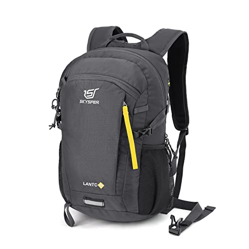 SKYSPER Small Hiking Backpack Check price
  Osprey Sportlite 20L Lightweight Hiking Backpack Check price
 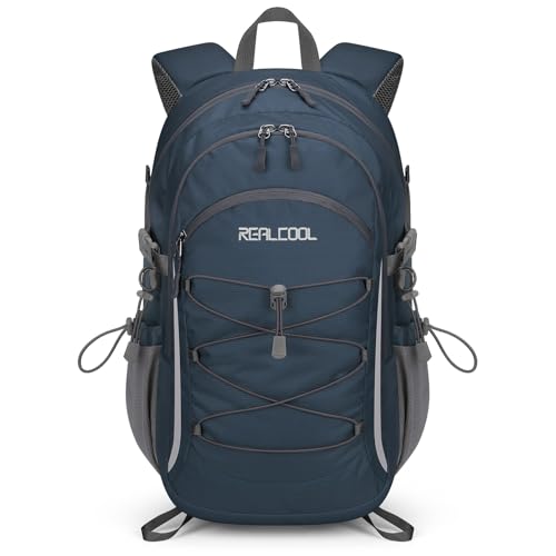 RealCool 20L Lightweight Hiking Backpack Check price
 - A pack liner or dry bag to keep the paper map dry through wet brush or a stream crossing
Navigation — the trustworthy core
A paper map and compass never lose signal under a forest canopy and never run out of battery — everything electronic in this section backs that up, it doesn't replace it. The skill matters as much as the gear: check your bearing often, and lean on handrails — a ridge, a stream, an old road grade that roughly tracks your line of travel — rather than walking a raw bearing blind through featureless terrain.
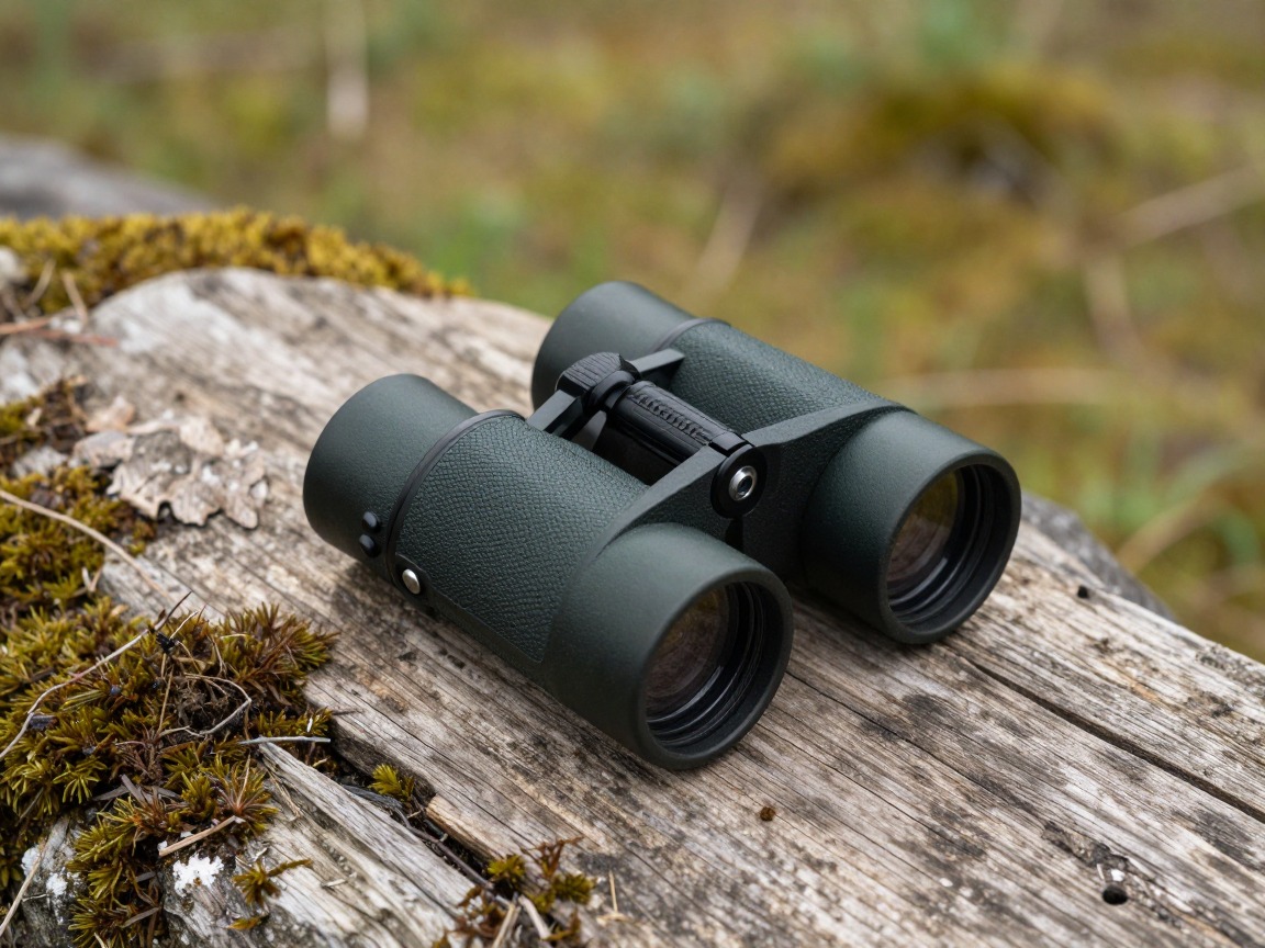
Compact binoculars
Let you scout a line before committing to it — spotting a saddle, a drainage, or a distant landmark from a vantage point is often faster and safer than bushwhacking blind toward a guess.
What to look for: Small and light enough that you'll actually carry them, with enough magnification — 7–8x is plenty — to pick out a ridgeline or a gap in the brush from a distance.
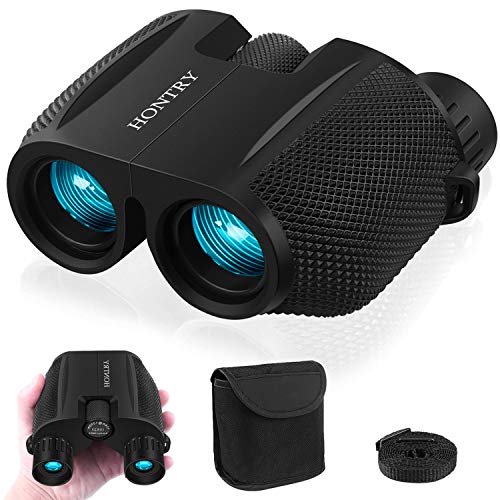 Hontry 10x25 Compact Binoculars for Adults and Kids Check price
  DRANBOL 12X25 Mini Pocket Binoculars for Adults Kids Check price
  12x32 Compact Binoculars for Adults High Powered Check price
 - A paper topographic map of the entire route, in a waterproof case or sleeve — not a phone screenshot of just one section
- A baseplate compass with an adjustable declination setting, set for the local magnetic declination of the area you're in
- A GPS app or handheld GPS unit with offline maps and your route downloaded before you leave cell coverage
- Backup power — a dedicated power bank or spare batteries — kept for navigation only, not shared with your phone's other uses
- An altimeter (a wrist unit, a GPS feature, or a phone app) to cross-check your elevation against the map when a landmark isn't obvious
- A pencil and a small waterproof notebook for logging bearings, pace counts and handrails as you travel
- A backstop or catching feature — a road, river, or ridgeline beyond your target, picked out from the map before you start — so an overshoot corrects itself instead of turning into being lost
Brush, footing & rough terrain
Off-trail ground punishes soft clothing and careless footing in equal measure — thorns, deadfall and loose slopes are the normal texture of a day with no trail underfoot.
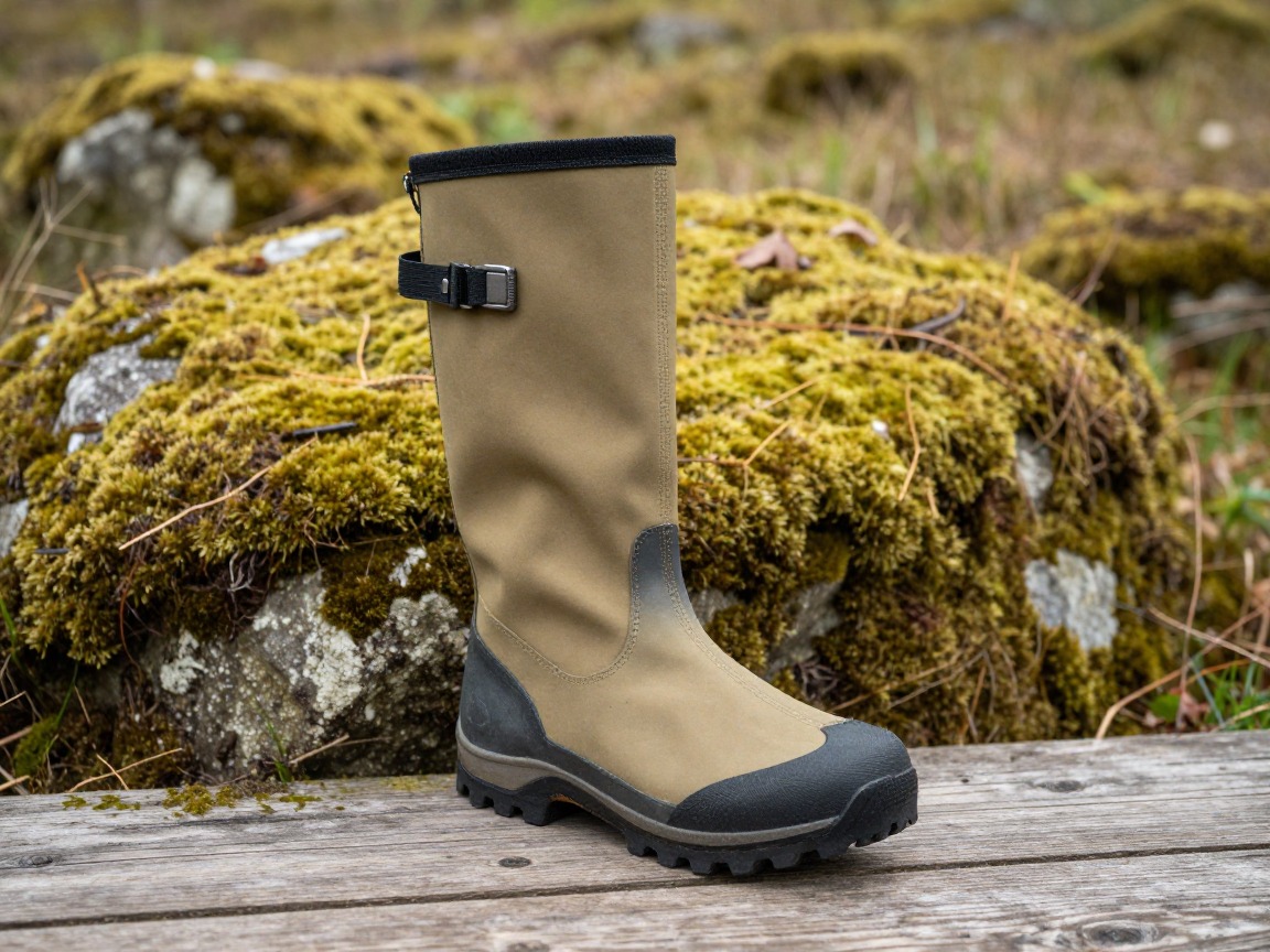
Gaiters
Keep thorns, burrs, loose rock and debris out of your boots through brush and scree that a maintained trail would never put underfoot.
What to look for: A tall, tough pair built for brush rather than snow — reinforced fabric at the instep and shin holds up far better against thorns than a light hiking gaiter.
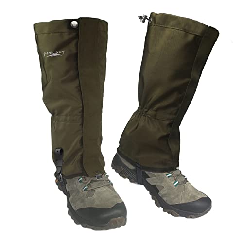 Frelaxy Leg Gaiters 100% Waterproof Hiking Gaiters Check price Frelaxy Ultra High-Performance Hunting Gaiters Check price
 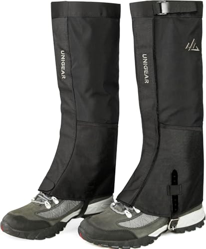 Unigear Leg Gaiters Check price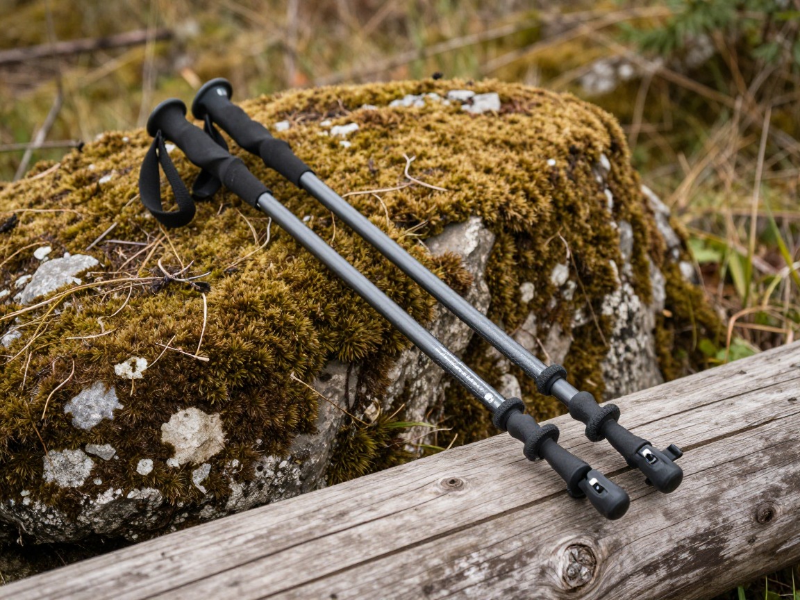
Trekking poles
Part brush ahead of your legs, test uncertain footing before you commit weight to it, and double as a rough tool for counting paces off-trail.
What to look for: Sturdy locks that hold under the sideways load of pushing brush aside, and tips you don't mind wearing down on rock and roots.
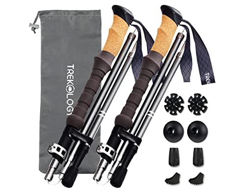 Trekology Trek-Z Cork Grip Collapsible Lightweight Hiking Trekking P Check price
 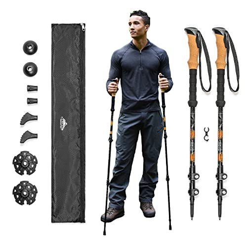 Cascade Mountain Tech Trekking Poles Check price
 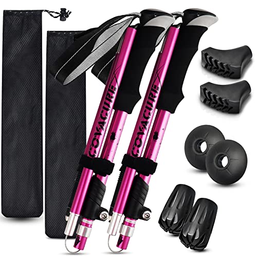 covacure Hiking Poles Check price
 - Long, tough pants and a long-sleeve shirt that shrug off thorns and branches better than shorts and a t-shirt
- Leather or reinforced gloves for pushing through brush and steadying yourself on rock
- Eye protection — sunglasses or clear glasses — since branches at eye level are a real hazard when you're watching your footing instead of the twig ahead
Safety, staying found & telling someone
The redundancy that matters on a marked trail matters more here — there's no one else's boot prints to follow back, so the plan you leave behind is as important as anything in your pack.
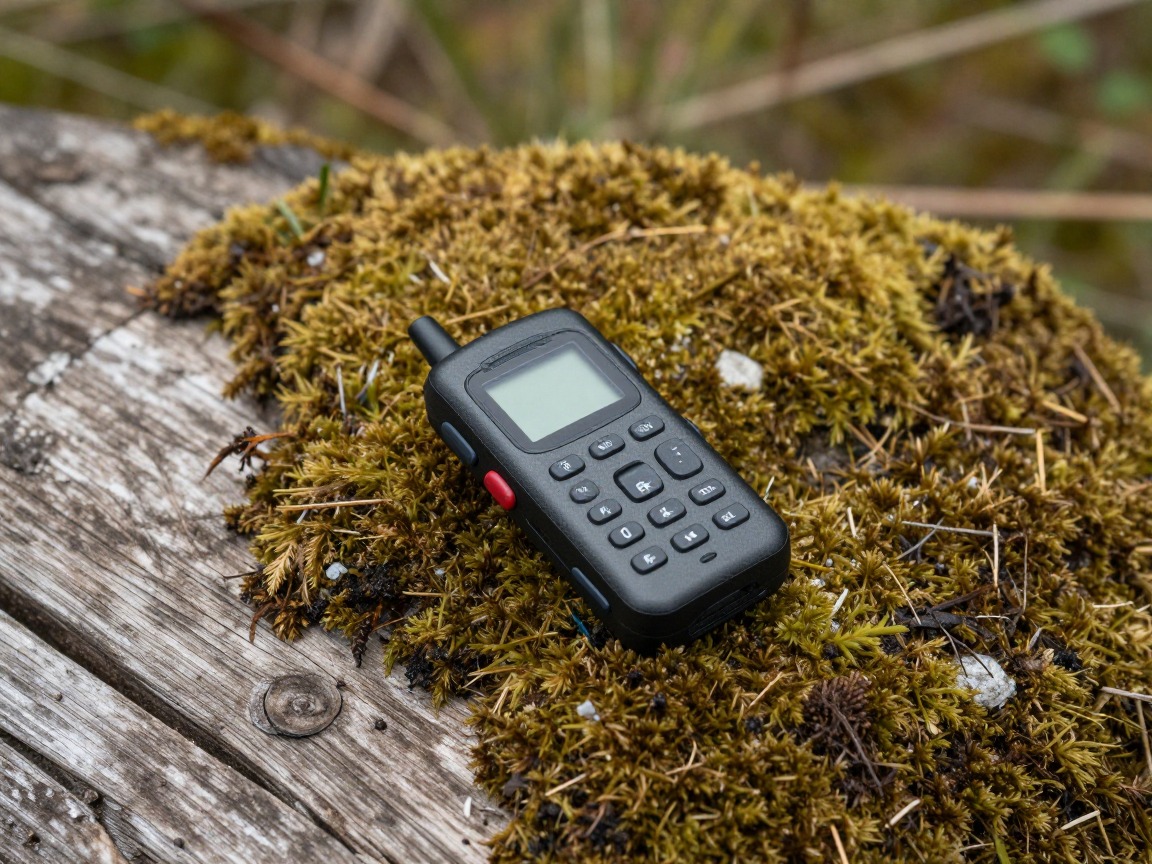
Satellite messenger
Off-trail routes often sit in terrain with no cell signal at all — a two-way satellite messenger is how you call for help or confirm you're fine when there's no other option.
What to look for: Two-way messaging rather than a one-way SOS button, a subscription plan matched to how often you're actually off-trail, and battery life that comfortably covers the trip.
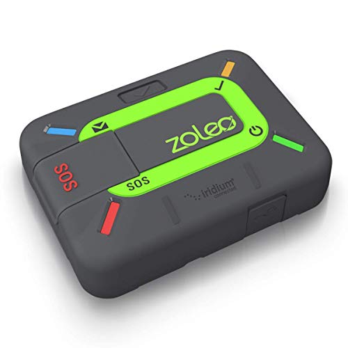 ZOLEO Satellite Communicator Check price
  Garmin inReach® Messenger Satellite Communicator Check price
  Garmin inReach® Mini 2 Check price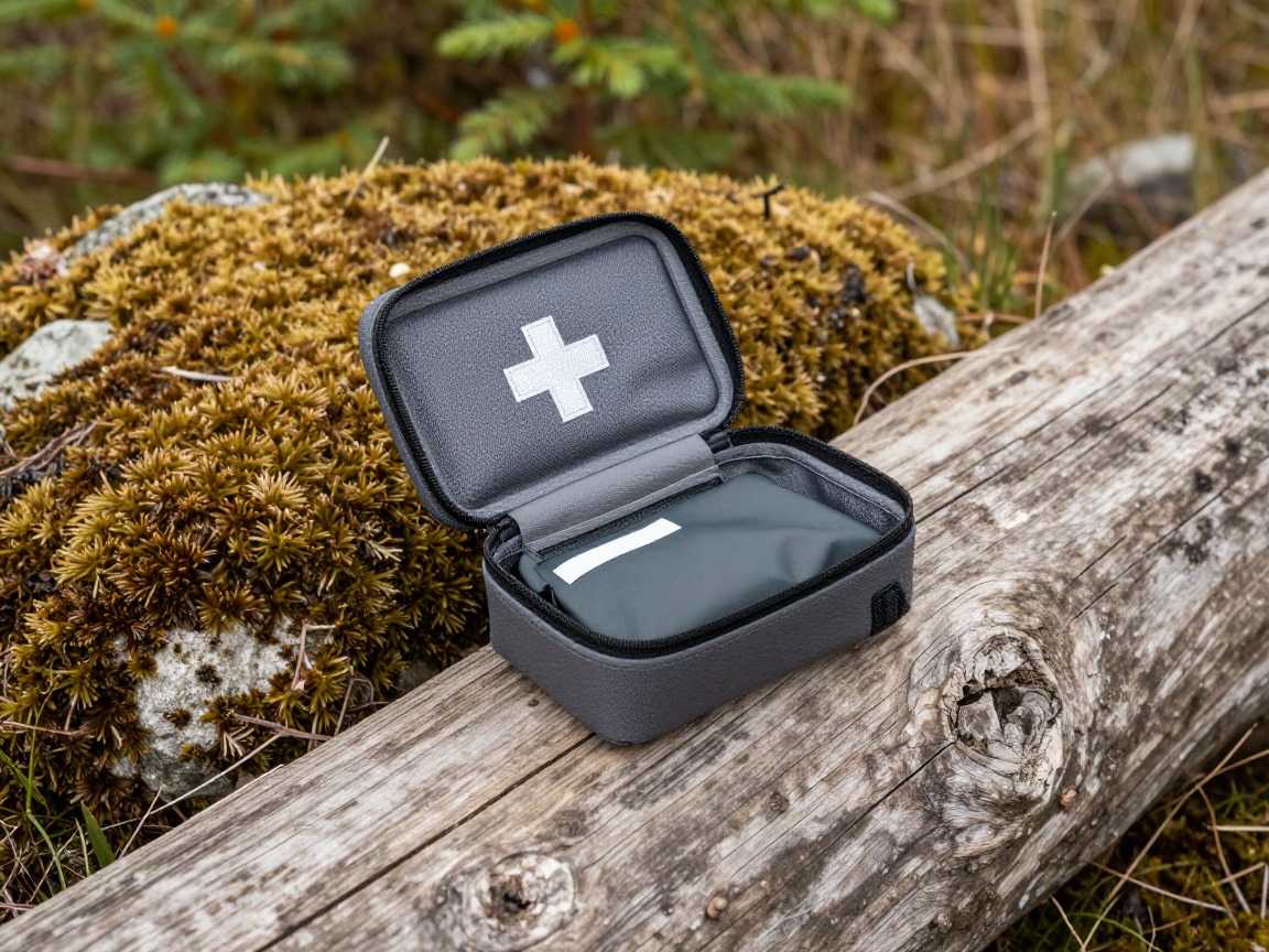
First-aid kit
Weighted toward the cuts, scrapes and rolled ankles that come with brush and uneven, off-camber ground, more than the blister care a smooth trail mostly needs.
What to look for: Real wound-care supplies for thorn scratches and rock scrapes, plus something to stabilize a sprain — then learn what's in it before you're using it off-trail with no signal to look anything up.
 Mini First Aid Kit - 150 Piece Small Waterproof EVA Hard Shell Case Check price
  Adventure Medical Kits Ultralight/Watertight Medical Kit .5 Check price
 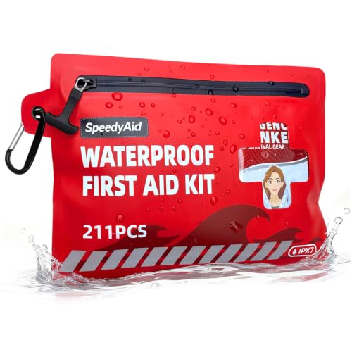 211 PCS Waterproof First Aid Kit Check price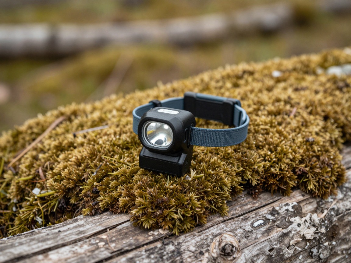
Headlamp
Route-finding through brush and uneven ground takes longer than covering the same distance on a trail, and a slow bushwhack has a way of running past your planned finish time.
What to look for: Enough output to pick out handrails and footing in low light, a lock mode so it doesn't drain in your pack, and batteries you trust in the cold.
 LHKNL Headlamp Flashlight Check price
 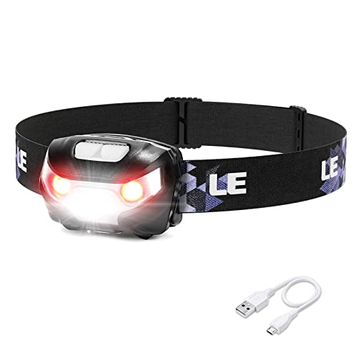 Lepro LED Headlamp Rechargeable IPX4 Waterproof Headlight 5 Modes - Check price
 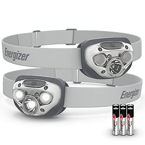 Energizer LED Headlamp PRO Check price
 - Whistle
- Phone, fully charged, as a secondary GPS and a camera for landmarks — not your primary navigation tool
- A written route plan and turnaround time left with someone specific, including your bailout options if the bushwhack doesn't go as planned
- A practiced bearing and back bearing — taken and walked on a known trail before you rely on one somewhere you don't
- Sunscreen, water and food sized for a slower pace than a marked trail — off-trail miles take longer than trail miles
How to adapt this setup
A brief off-trail detour close to a known trail forgives more, but keep the compass, a marked map and a clear bail-out bearing back to the trail even for a short cross-country shortcut.
A long day with no trail at all calls for the complete kit here plus extra daylight margin — off-trail miles take far longer than trail miles, so build in more turnaround buffer than you think you need.
Where the brush is genuinely thick, lean harder on gaiters, long sleeves and gloves, and expect your pace to slow to a fraction of trail speed — plan distances accordingly.
With long sightlines and fewer obstacles, handrailing and backstops get easier and binoculars earn their keep — but wind, weather and exposure rise, so carry the same margins as an alpine day.
Snow buries handrails, hides drop-offs, and changes the terrain a map describes. This kit's navigation core still applies, but genuine winter or avalanche terrain needs its own formal training, a beacon, shovel and probe, and a trained partner, well beyond map and compass.
Common mistakes to avoid
- Relying on a phone or GPS alone, with no paper map or compass backup for when the battery dies or the screen cracks.
- Walking a bearing without checking it against real handrails and backstops in the terrain, and drifting off-line without noticing.
- Skipping the route log, so a trip that goes sideways leaves no record of bearings or distances to retrace.
- Wearing regular hiking clothes into real brush and paying for it in scratches, snagged fabric and gear pulled loose.
- Setting no turnaround time or bail-out bearing, and letting curiosity carry you further off-line than daylight or confidence supports.
- Leaving no route or plan with anyone, so a problem off-trail — where there's no one else to notice you're overdue — goes unnoticed far longer than it should.
Make it yours
Frequently asked questions
Do I need a GPS if I already carry a map and compass off-trail?
A GPS or phone app is a genuinely useful supplement — it's fast to check and can confirm a position that map and compass alone can't always pin down under thick canopy. Treat it as backup, though: batteries die, screens crack, and satellite lock isn't guaranteed under heavy tree cover, so the paper map and compass stay the core you can always rely on.
What is handrailing in off-trail navigation?
Handrailing means following a linear terrain feature — a ridge, a streambed, an old road grade — that runs roughly your direction of travel, instead of walking a compass bearing straight through blind terrain. It's usually faster and far harder to get lost on, since the feature itself keeps correcting your course as you go.
What's a backstop or catching feature?
A backstop is a large, hard-to-miss terrain feature — a road, a river, a distinct ridgeline — that lies beyond your target and tells you if you've gone too far. Choosing one before you start off-trail means an overshoot corrects itself instead of turning into being genuinely lost.
Do I really need an altimeter for off-trail hiking?
It's a genuinely useful cross-check: elevation is often the one measurement a map and the ground underfoot still agree on, even when a landmark is hard to identify in dense brush or flat light. A wrist unit, a GPS feature, or a phone app all work — the point is having a second, independent way to confirm where you sit on the map.
Is off-trail hiking safe without formal navigation training?
Basic cross-country navigation is a learnable skill, but it's genuinely worth practicing — taking and walking bearings, reading handrails — on a trail you know before relying on it somewhere you don't. For steep snow, glaciated terrain, or anything crossing avalanche risk, treat this kit as insufficient on its own and get formal training, the right equipment, and a trained partner first.
Illustrative images show the type of gear, not specific products. Recommendations link to similar items on Amazon; we only ever link real listings and never show fabricated prices or ratings. General planning guidance, not a substitute for your own judgment or professional backcountry-safety instruction.