
The Mount Whitney day hike setup
Mount Whitney is the highest point in the contiguous United States — a roughly 22-mile round trip from Whitney Portal with about 6,100 feet of elevation gain to a 14,505-foot summit. This is a single very long day built around a genuinely competitive permit lottery, a pre-midnight or pre-dawn alpine start, and altitude that makes the last few miles the hardest part of the whole hike.
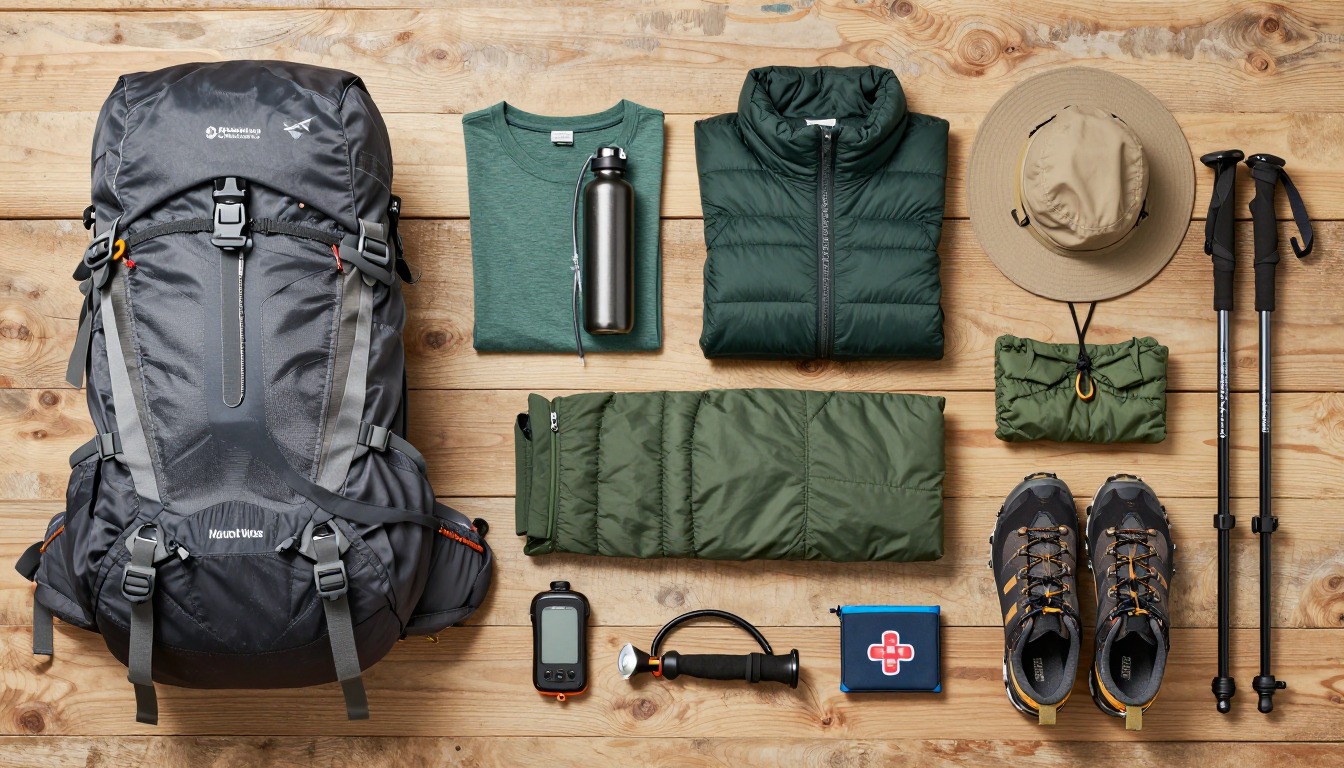
This kit is built around three problems most day hikes never combine: real altitude-illness risk from climbing 6,000-plus feet to over 14,000, a trail long enough that water and calories become the actual limiting factor, and a pre-dawn start timed to be off the exposed summit ridge before Sierra afternoon storms build. Everything here answers one of those three problems — nothing is here because it looks rugged.
This suits fit, experienced hikers who already have long, high-mileage days behind them and hold a valid Whitney Zone permit for that date — it isn't a first big hike or a route to attempt underprepared for altitude. It doesn't suit anyone without a permit, anyone unsure about a 10-to-15-plus-hour day at elevation, or anyone hiking into a heavy snow year without traction and the judgment to turn back; a shorter Whitney Portal day hike, like Lone Pine Lake, is a solid alternative that needs no zone permit.
- Confirm your permit first — nothing else on this list matters if you don't hold a valid Mount Whitney Zone permit for that date.
- Build the water and treatment system next: more capacity than any other day hike you own, plus a filter for trailside streams, since carrying all 22 miles of water from the trailhead isn't realistic.
- Add the alpine layering system and traction for lingering snow on the switchbacks, then the light-navigation-first-aid trio for a day that starts in the dark and climbs into thin air.
- Weigh the finished pack, trim anything not earning its place over 22 miles, and set your turnaround time and WAG bag plan before you leave Whitney Portal.
About this setup
Mount Whitney is the highest point in the contiguous United States at 14,505 feet, and the Mount Whitney Trail out of Whitney Portal is how most day hikers reach it — a round trip of roughly 22 miles with about 6,100 feet of elevation gain, nearly all of it earned above Lone Pine Lake. The trail climbs steadily past Trail Camp, at roughly 12,000 feet, then turns into a long, exposed set of switchbacks — the famous 99 switchbacks — up to Trail Crest at about 13,600 feet. From there it's a rocky, exposed traverse of nearly two more miles to the summit, the stretch where thin air, not distance, does most of the slowing down.
Getting a spot on the trail is often harder than the hike itself. The Inyo National Forest runs a Mount Whitney Zone lottery through recreation.gov each February for permits covering the peak May-through-October season, and demand routinely outstrips the available quota many times over. A smaller number of permits open on a rolling basis closer to each date as other hikers cancel, so it's worth checking even if the main lottery doesn't work out — but plan around holding a confirmed permit, not the hope of a walk-up spot at the trailhead.
The two biggest risks on Whitney aren't technical — they're altitude and weather. Climbing from a roughly 8,300-foot trailhead to 14,505 feet in a single push is enough elevation gain to bring on real altitude sickness in fit, otherwise-healthy hikers, and it's driven far more by ascent rate than fitness; watch for headache, nausea, dizziness or unusual fatigue, and treat worsening symptoms as a reason to stop climbing or turn back, with medical help the right call if they become severe. Sierra summer afternoons build thunderstorms quickly, which is why almost everyone starts between midnight and 3 a.m. to be off the exposed ridge and switchbacks before the sky turns. And because the terrain above treeline offers no way to bury waste, every hiker in the Whitney Zone is required to pack out solid human waste in a WAG bag — plan for it the same way you plan for water and layers, not as an afterthought.
The pack
Twenty-two miles and roughly 6,100 feet of gain call for a pack sized for a huge water and layering load, not a multi-day hauler.
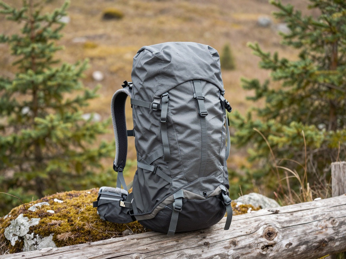
Whitney daypack
Carries the day's huge water load, alpine layers, traction and a WAG bag while staying light and close-fitting enough for the long climb above Trail Camp.
What to look for: A 30–35 L pack with a real hip belt, easy-to-reach bottle or bladder access, and external loops to strap poles or microspikes to before the switchbacks. Fit matters more than any single feature on a day this long.
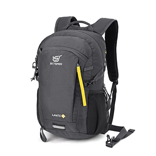 SKYSPER Small Hiking Backpack Check price
  Osprey Sportlite 20L Lightweight Hiking Backpack Check price
 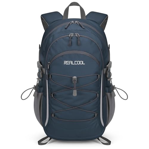 RealCool 20L Lightweight Hiking Backpack Check price
 - A pack liner or dry bag to keep your permit, phone and spare layer dry if weather moves in
Water & fuel
This is one of the most water-hungry day hikes most people will ever attempt — hours of climbing into thin, dry air with only a handful of reliable refill points.
Wide-mouth bottles
Carries the bulk of the day's water and refills quickly at trailside streams before the trail leaves reliable water behind near Trail Camp.
What to look for: Tough, wide-mouth bottles that refill fast from a stream, sized so your bottles and bladder together cover a genuinely long day at altitude.
 Nalgene 32 oz Wide Mouth Water Bottle Check price
  Nalgene 32 oz Wide Mouth Water Bottle Check price
  Nalgene 32 oz Wide Mouth Water Bottle Check price
Hydration reservoir
Lets you sip constantly through the exposed climb toward Trail Crest and the 99 switchbacks, where stopping to dig out a bottle costs time and momentum.
What to look for: A 2–3 L bladder with a lockable bite valve and a wide fill opening. An insulated hose helps in the near-freezing pre-dawn hours.
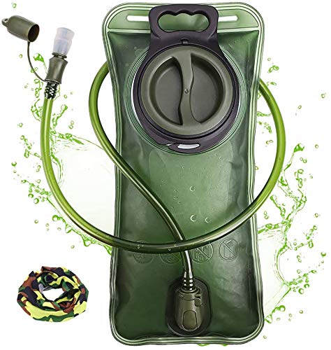 Hydration Bladder Check price
  Hydration Bladder Check price
  Mdvora 1.5L/2L/2.5L/3L Hydration Bladder Check price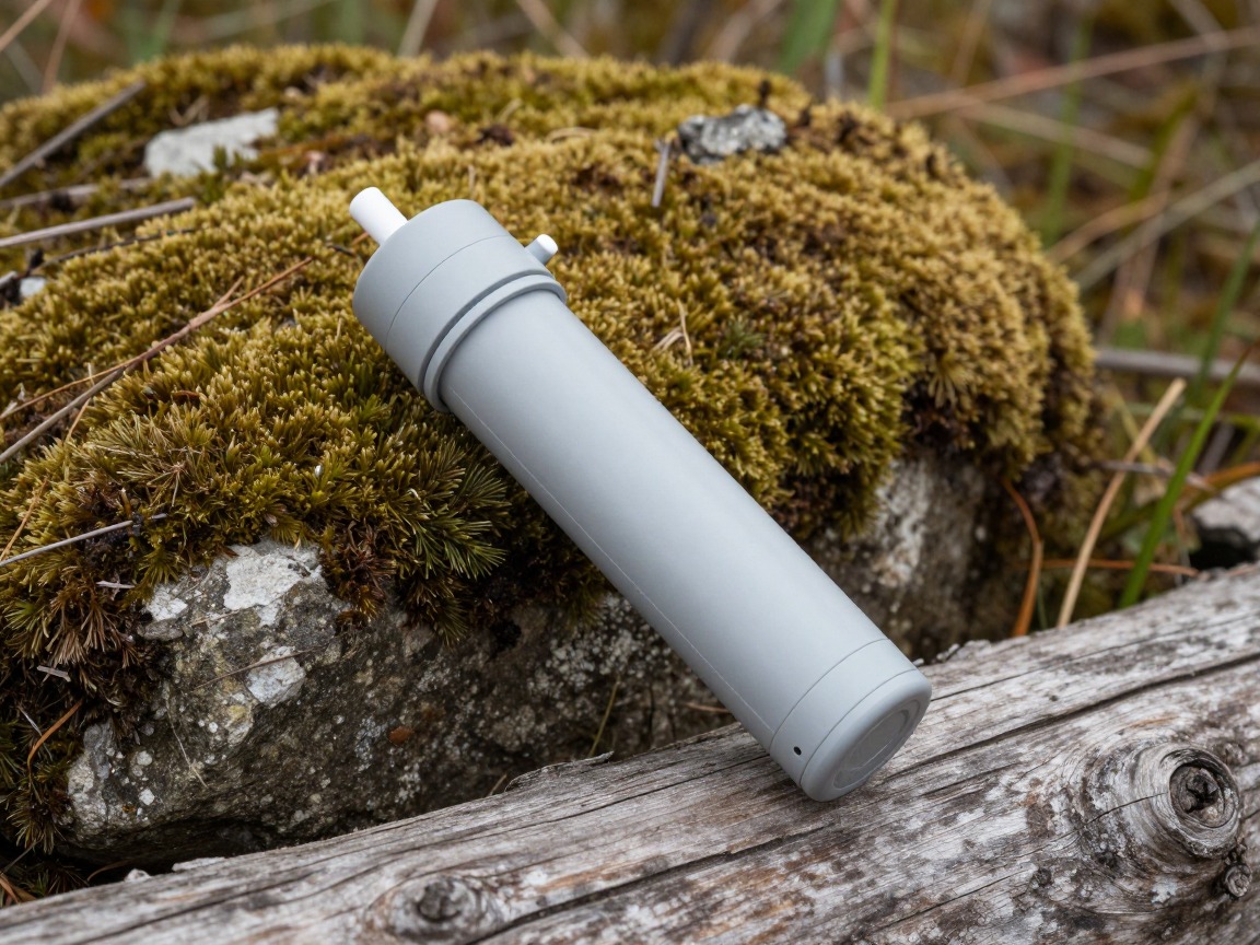
Water filter
Streams along the lower and middle trail are the last realistic places to refill in full — a filter lets you top off completely instead of carrying every liter from Whitney Portal.
What to look for: A fast, simple squeeze or pump filter that handles cold water well. Treat any refill near Trail Camp as close to your last for several hours.
 Sawyer Squeeze Water Filtration System Check price
  Sawyer Products SP128 Mini Water Filtration System Check price
  LifeStraw Personal Water Filter for Hiking Check price
 - Calorie-dense food for a 10-to-15-plus-hour day, well beyond a normal day hike's worth
- Electrolyte mix or tabs
- Extra emergency food beyond what you expect to eat
Alpine layers & sun
Temperature swings hard between a well-below-freezing pre-dawn start and full sun above treeline, with little shelter from wind on the exposed switchbacks and summit ridge.
Warm base layer
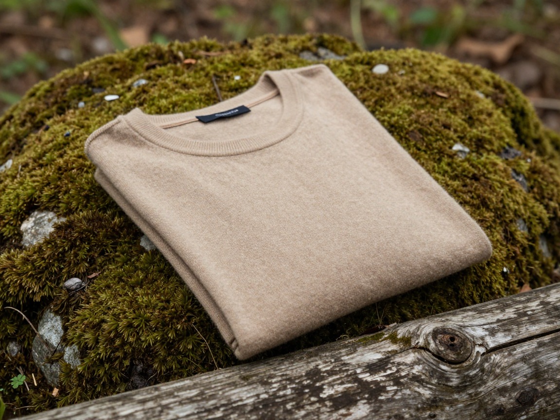
Keeps you working through the coldest part of the day — the pre-midnight or pre-dawn climb from Whitney Portal — without soaking through once you're moving hard.
What to look for: A midweight merino or synthetic base that keeps insulating even damp. Cotton is genuinely dangerous here — it holds moisture and steals heat when you need it least.
 100% Merino Wool Base Layer Men Set - Thermal Underwear for Men Long Check price
  Merino.tech Merino Wool Base Layer Women Set - Heavyweight Check price
  100% Merino Wool Base Layer Men Set - Thermal Long Underwear with Ba Check price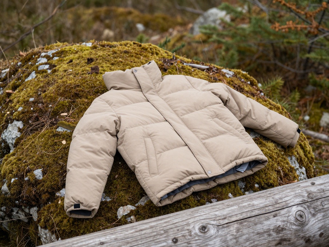
Warm/wind layer
A packable insulated layer for breaks, Trail Crest, and the summit itself, where wind and thin air make it feel far colder than the forecast low.
What to look for: The most warmth for its weight, easy to layer over other pieces. Synthetic fill shrugs off damp better than down if you sweat through the climb.
 Outdoor Ventures Women's Packable Lightweight Puffer Jacket with Hoo Check price
  Amazon Essentials Women's Lightweight Long-Sleeve Water-Resistant Pa Check price
  Outdoor Ventures Women's Packable Lightweight Puffer Jacket with Hoo Check price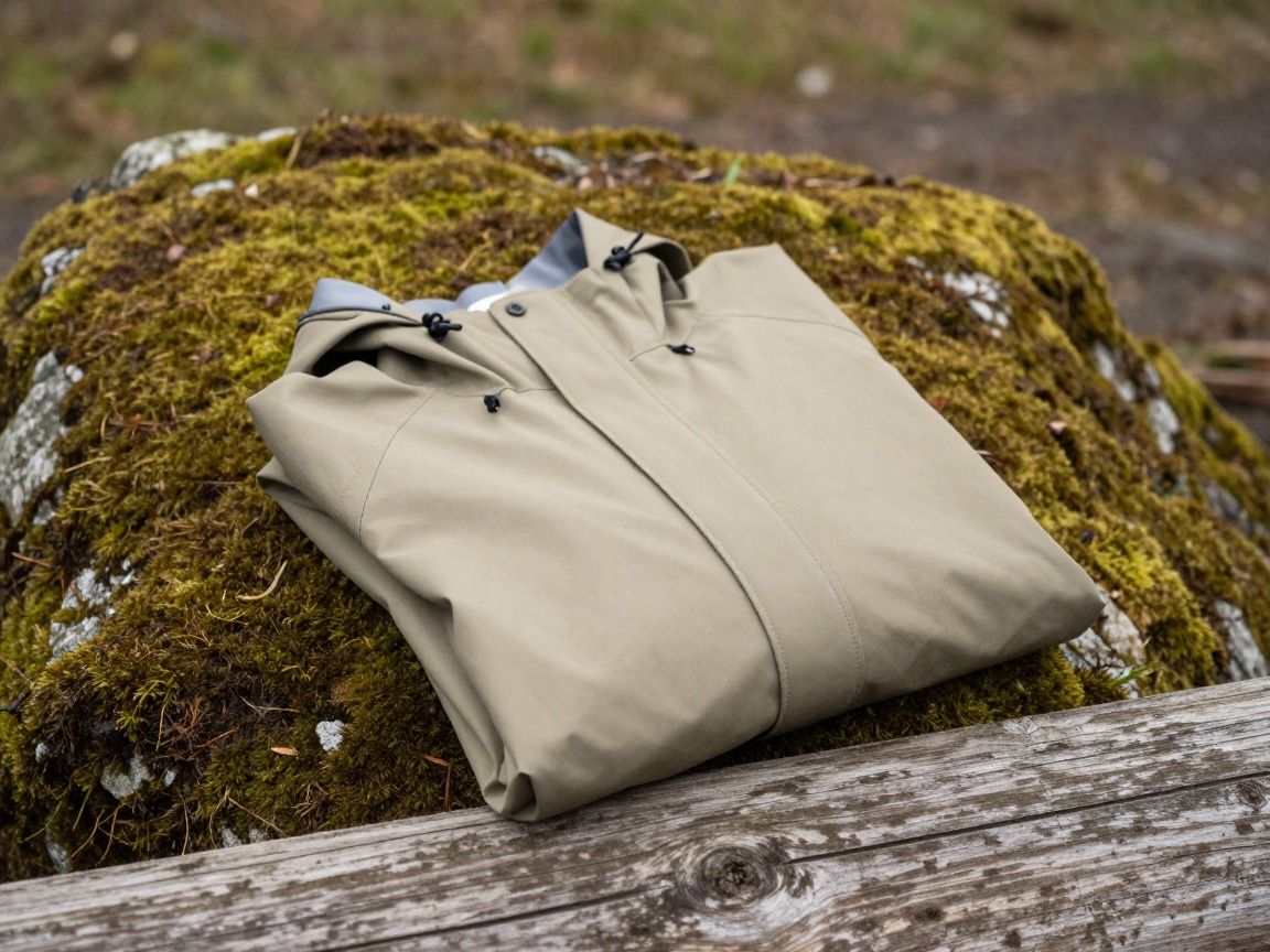
Wind/rain shell
Sierra summer afternoons build thunderstorms quickly, and a shell that goes on fast is part of getting off the exposed ridge before weather arrives, not just staying dry.
What to look for: Waterproof and windproof, with a hood that fits over a warm hat. Packable enough that it always comes along on the 99 switchbacks and beyond.
 UIQUR Mens Rain Jacket Raincoat Waterproof Windbreaker Black L Check price
  COOFANDY Men's Waterproof Hiking Travel Shell Breathable Rain Jacket Check price
  Columbia Womens Arcadia II Waterproof Rain Jacket Check price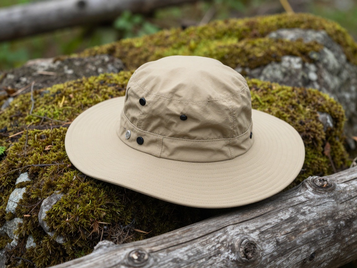
Sun protection
Thinner air and long hours above treeline burn skin and eyes faster than the same sun at lower elevation, especially with any lingering snow underfoot.
What to look for: A brimmed hat that shades face and neck, sunglasses rated for snow glare, and real sunscreen you reapply through the day.
 FURTALK Womens Sun Hat with Ponytail Hole Beach Hiking Summer Wide B Check price
 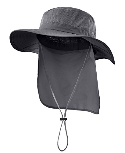 Home Prefer Outdoor UPF50+ Mesh Sun Hat Wide Brim Fishing Hat with N Check price
  FURTALK Sun Hats for Men Fishing Hat UPF Protection Wide Brim Bucket Check price
 - Wool hiking socks plus a dry spare
- Warm hat or beanie for the cold pre-dawn start and exposed summit
- Lightweight gloves
- Moisture-wicking shirt and hiking pants
Footwear & traction
The trail below Trail Camp is well-maintained and mostly dry by mid-to-late summer, but lingering snow and ice on the switchbacks and near Trail Crest is common well into the season in a big snow year.
Microspikes
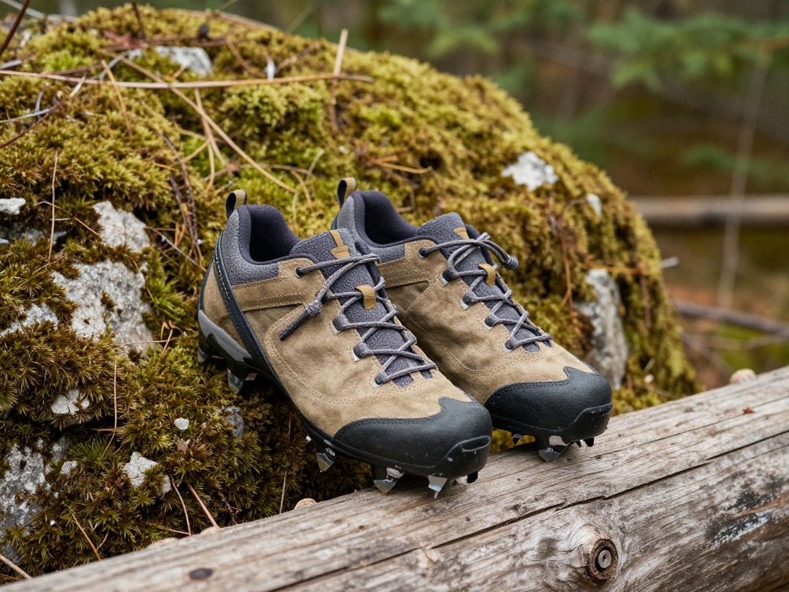
Lingering snow on the 99 switchbacks or the chute near Trail Crest is common into early summer in many years — spikes turn a slick, exposed crossing into a normal step.
What to look for: Slip-on microspikes that pack small and fit over boots, good for packed snow and icy patches on walkable terrain. Firm snow or ice on steep ground is a sign to turn back or get formal mountaineering training and an ice axe first — not a gear swap.
 Kahtoola MICROspikes Footwear Traction for Winter Check price
 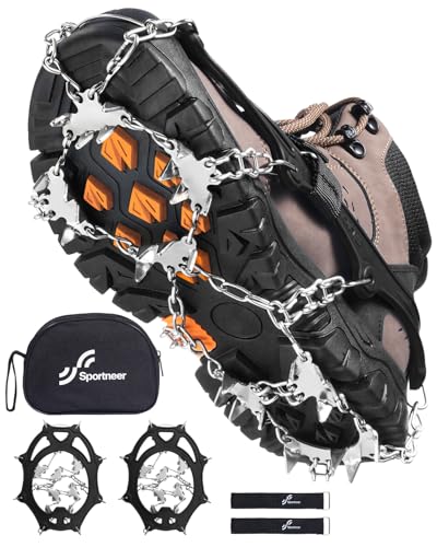 Sportneer Crampons: Ice Cleats for Shoes and Boots with 28 Spikes - Check price
  Kahtoola MICROspikes Footwear Traction for Winter Check price
 - Sturdy, broken-in hiking boots or trail shoes with real grip for miles of rocky, uneven trail
Navigation, light & altitude safety
This is where a Whitney day differs most from an ordinary day hike: a required permit and WAG bag, a pre-midnight start, and real elevation-illness risk on the way to 14,505 feet.
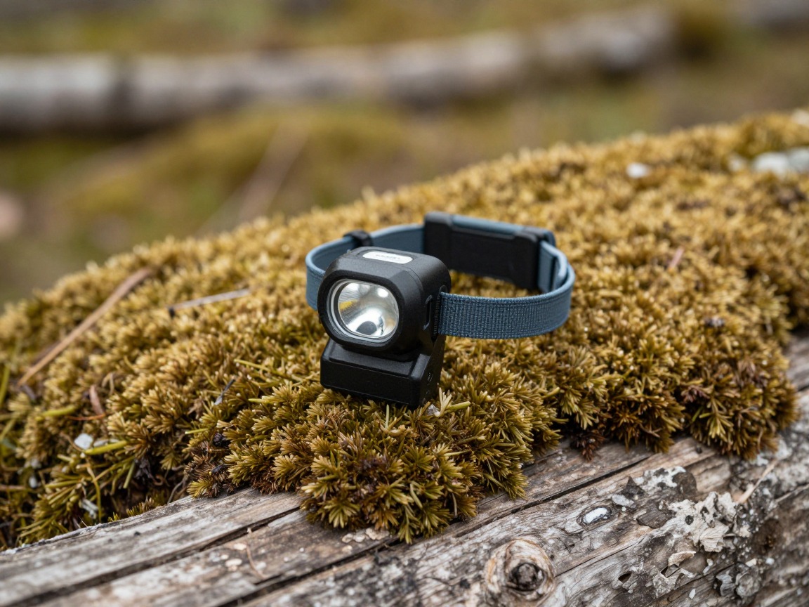
Headlamp
Most hikers start between midnight and 3 a.m. so they're off the exposed summit ridge before afternoon storms build, and a headlamp is also your backup if the long descent runs past dark.
What to look for: Enough output for confident hiking on rocky trail in full dark, a secure strap, and fresh batteries plus a spare set for a day this long. Cold drains batteries faster than usual.
 LHKNL Headlamp Flashlight Check price
 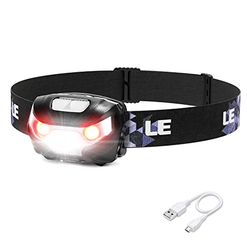 Lepro LED Headlamp Rechargeable IPX4 Waterproof Headlight 5 Modes - Check price
 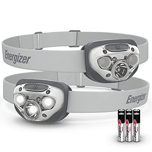 Energizer LED Headlamp PRO Check price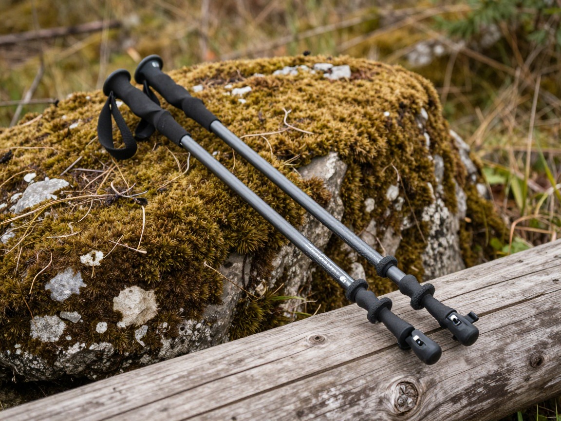
Trekking poles
Steady you on the steep switchbacks and loose talus below Trail Crest, and save your knees on the long descent after more than 6,000 feet of elevation loss.
What to look for: Adjustable poles with locks that hold under load, and a way to strap them to your pack for any short scrambling near the summit.
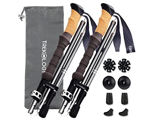 Trekology Trek-Z Cork Grip Collapsible Lightweight Hiking Trekking P Check price
 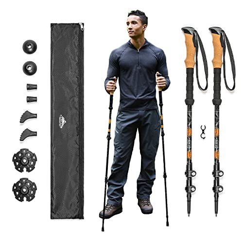 Cascade Mountain Tech Trekking Poles Check price
 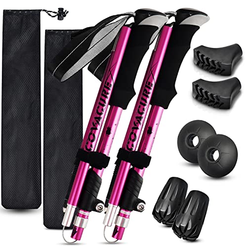 covacure Hiking Poles Check price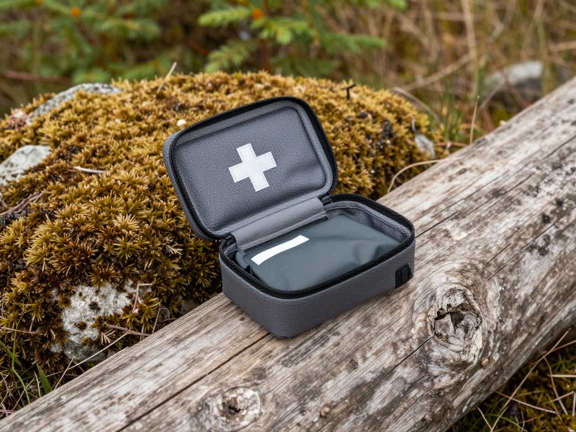
First-aid kit
Covers blisters, cuts and the small stuff on a long day, and should sit alongside a working knowledge of altitude sickness symptoms given the elevation gain.
What to look for: A compact kit weighted toward blisters and altitude-related basics — then know what's in it before a 22-mile day, not during one.
 Mini First Aid Kit - 150 Piece Small Waterproof EVA Hard Shell Case Check price
  Adventure Medical Kits Ultralight/Watertight Medical Kit .5 Check price
 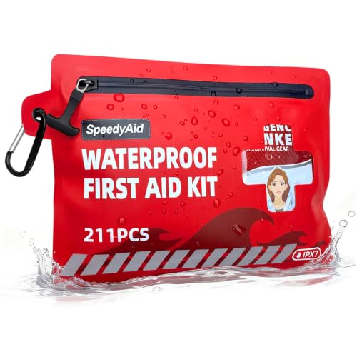 211 PCS Waterproof First Aid Kit Check price
Satellite messenger
Cell service is unreliable to nonexistent for most of the route, and a two-way satellite messenger lets you call for help or check in on a day that can easily run past dark.
What to look for: A device with two-way messaging and SOS, not just a one-way tracker, and battery life to cover a full day plus real margin.
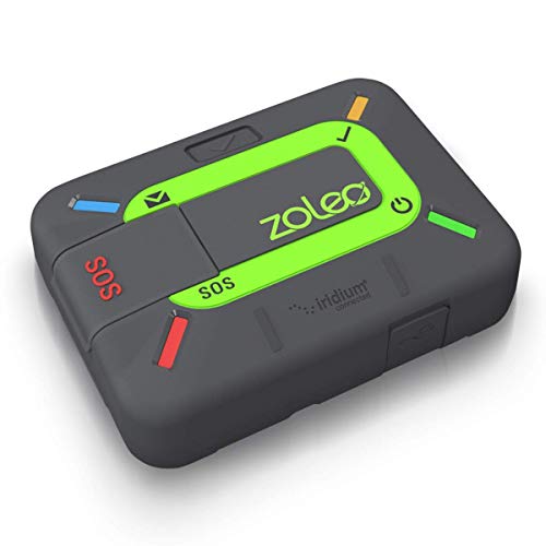 ZOLEO Satellite Communicator Check price
  Garmin inReach® Messenger Satellite Communicator Check price
  Garmin inReach® Mini 2 Check price
 - Your Mount Whitney Zone permit (from the lottery or a last-minute recreation.gov cancellation), carried with you
- A WAG bag — required for packing out solid human waste in the Whitney Zone, since there's no way to bury it above treeline; pack it out to the disposal bins at Whitney Portal
- Map or GPS with the full route loaded
- Sunscreen and SPF lip balm
- Whistle
- Phone plus a power bank
- A firm turnaround time, and a plan to stop climbing or descend at the first sign of worsening altitude symptoms
- A written route and expected return time left with someone
How to adapt this setup
If snow still covers the 99 switchbacks or the chute below Trail Crest, traction becomes the priority item, not an afterthought. Firm snow or ice on steep ground is your sign to turn back or get formal mountaineering training and an ice axe first.
Check recreation.gov for last-minute cancellations closer to your date, or shift to a shorter Whitney Portal day hike like Lone Pine Lake that doesn't need a Whitney Zone permit. Don't plan around hiking past the permit boundary without one in hand.
An overnight at Trail Camp, with its own permit and a bear canister for food storage, trades a lighter single push for carrying a sleep system and more food — a real option for hikers uneasy about a 10-to-15-plus-hour day.
Push your alpine start earlier rather than later, and treat any building cloud or afternoon thunder near the summit ridge as a hard turnaround signal rather than something to wait out.
The slowest hiker sets the group's real turnaround time on a day this long and this exposed. Agree on it at Whitney Portal, and make sure no one is relying on someone else's water, layers, or WAG bag.
Common mistakes to avoid
- Attempting the trail without a valid Whitney Zone permit for that date.
- Underestimating water needs for a 10-to-15-plus-hour day spent mostly above treeline.
- Starting too late to be off the exposed ridge and switchbacks before Sierra afternoon thunderstorms build.
- No traction for lingering snow on the 99 switchbacks in a big snow year.
- Pushing through worsening altitude symptoms instead of stopping or turning back.
- Forgetting or mishandling the required WAG bag instead of packing out human waste properly.
Make it yours
Frequently asked questions
How long is the Mount Whitney day hike?
The standard round trip from Whitney Portal runs roughly 22 miles with about 6,100 feet of elevation gain to the 14,505-foot summit, the highest point in the contiguous United States. Most day hikers budget a full 10 to 15 hours or more, car to car.
How do I get a Mount Whitney permit?
Permits for the Mount Whitney Zone are issued through a recreation.gov lottery each February covering the main season, plus a smaller rolling release of cancellations closer to each date. Demand far outstrips the quota, so plan on entering the lottery well ahead or watching for late cancellations rather than counting on a walk-up spot.
What are the 99 switchbacks?
They're a long, exposed set of switchbacks climbing from Trail Camp, around 12,000 feet, up to Trail Crest at about 13,600 feet — one of the steepest, most sustained sections of the whole trail. Lingering snow here well into the season is common in bigger snow years, which is why traction is part of this kit.
Do I need a WAG bag for Mount Whitney?
Yes — every hiker in the Whitney Zone is required to pack out solid human waste using a WAG bag, since there's no way to bury it properly above treeline. Bring one, use it as needed, and pack it out to the disposal bins at Whitney Portal.
What altitude sickness symptoms should I watch for on Whitney?
Watch for headache, nausea, dizziness or unusual fatigue that doesn't fit the day's effort — common signs of altitude sickness on a climb this fast to over 14,000 feet. Treat worsening symptoms as a reason to stop climbing or descend, and seek medical help if they become severe.
Illustrative images show the type of gear, not specific products. Recommendations link to similar items on Amazon; we only ever link real listings and never show fabricated prices or ratings. General planning guidance, not a substitute for your own judgment or professional backcountry-safety instruction.